Traverse mountains at the edge of Samegrelo and visit its pictoresque lakes.
Lebarde is an abandoned climatic-balneological alpine resort at the foothills of the Egrisi range. It is also a starting point for many interesting treks. One can hike towards lower Svaneti or head westwards to the famous Tobavarchkhili lakes. But the most classic route proceeds eastwards via Lebarde Toba lakes into Lechkhumi
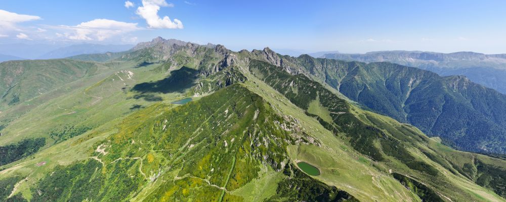
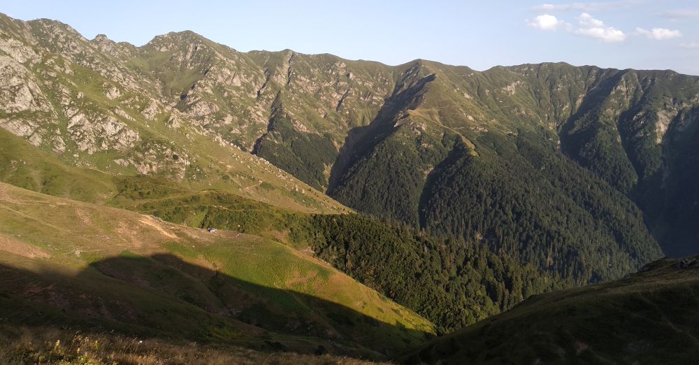
(or even further to Askhi plateau). This trek follows the branch of the Egrisi range, named Gvira, and displays wide panoramic views on both sides. Thanks to local herdsmen and their cattle, the trail is apparent. Moreover, it was marked several years ago. However, due to a lack of visitors, some short sections are overgrown.
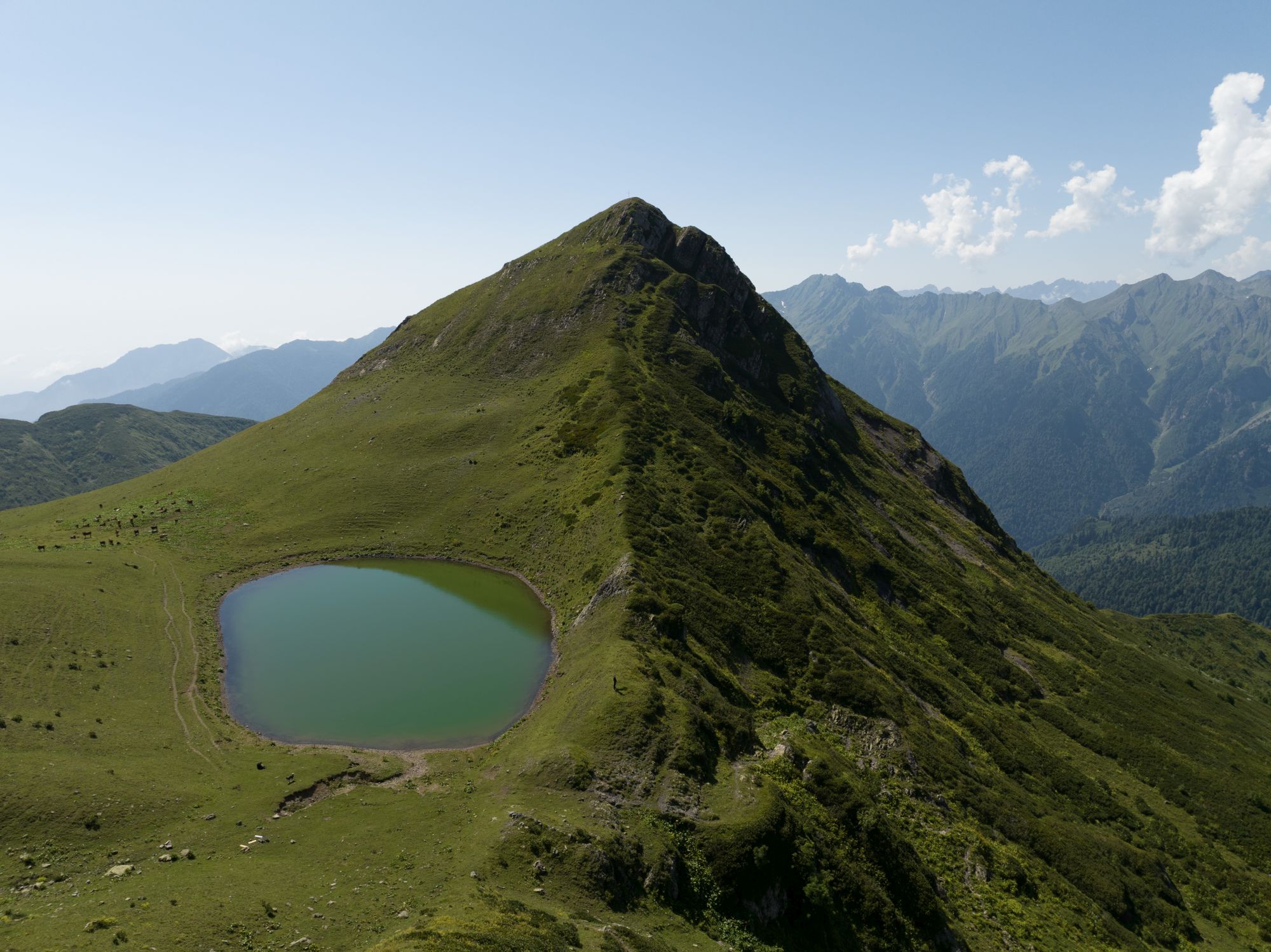
As for the ending point, Kulbaki is by far the most touristy village of Lechkhumi, popular thanks to Green Lake, an easily accessible location with a trout farm.
Looking at the distance, three days might seem exaggerated. However, skipping Lebarde lakes and camping somewhere in the middle to complete it in two days makes no sense. How can someone go to Toba lakes and avoid camping next to it?
Theoretically, it is possible to reach Kulbaki from the lakes just within a day, but you should be ready to walk the whole day and finish around at sunset or even in the dark depending on your pace. Better to distribute your energy wisely and enjoy the hike as much as possible.
While there is nothing challenging in terms of terrain or distance, things could go wrong when it comes to navigating mainly due to overgrown sections in the wood which is something you should be aware of beforehand and ready to handle.
Overall, the best period visit is from late spring till October. The highest point you cross on this trek lies at 2400m above sea level. Therefore, it’s quite possible to hit the route even in May, probably from the second half. Just keep an eye on the weather forecast.
Trek works well in both directions but due to complicated logistics, it might be easier to start at Lebarde rather than end there.
The water is not a big issue apart from the section from the second campsite to Kulbaki Junction. Adhere to the general hiking rule and always carry a full 1L.
While there are numerous shepherd's huts along the route, there are no facilities meant for hikers, So, for this trek, you will need a tent.
The saddest part of the whole journey. Lebarde is the worst dead-end one can imagine with a totally derelict road. The journey to get there will have at least two phases.
First, you need to reach Doberazeni village, where a dirt track to Lebarde starts. Taxi from Kutaisi would cost you at least 100 GEL. If you prefer public transport, your best bet is marshrutkas departing to Martvili. These leave from the bus station by McDonalds at 7:30, 8:00, and then in hourly intervals. Ask the driver if he continues to Didi Chkoni or even further to Kurzu, otherwise, you will need to hitchhike or take a taxi for the remaining 25km to Doberazeni or Kurzu.
Here starts the harder part. To Lebarde, it´s another 25km on a quite poor dirt track. And what´s even worse, there are several Tekhuri river crossings, one of them particularly unpleasant. For this reason, I don´t recommend hiring a taxi for the whole route at Kutaisi, you need a local driver familiar with the route. You should ask around the village and hire a taxi or truck driver, however, it could cost several hundreds of lari. Much optimal solution is trucks, which during summer, regularly bring vacationeers from Doberazeni to Lebarde, however, their schedule for the 2024 season is not known yet. Once it gets public, will try to update it here.
The recording of this hike ends at the Green Lake, but the original marked trail goes through Kulbaki (3km) until the small village of Chkumi (6km). Nevertheless, as of October 2021, all the way up from the main road to Kulbaki is asphalted already and the last part to the Green Lake will probably follow at some point as well; hence it is not too much fun to walk it these days.
Therefore, your best bet is to get a ride with one of the numerous visitors of the fish farm at the lake. As most people go there for lunch or dinner, it is much easier to hitchhike from the lake down in the afternoon or in the evening instead of getting a lift from the main road in the morning. Most probably you will be dropped off at the bus stop down on the main road from where you should be able to get another ride in one or the other direction.
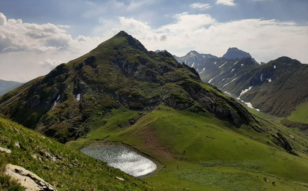
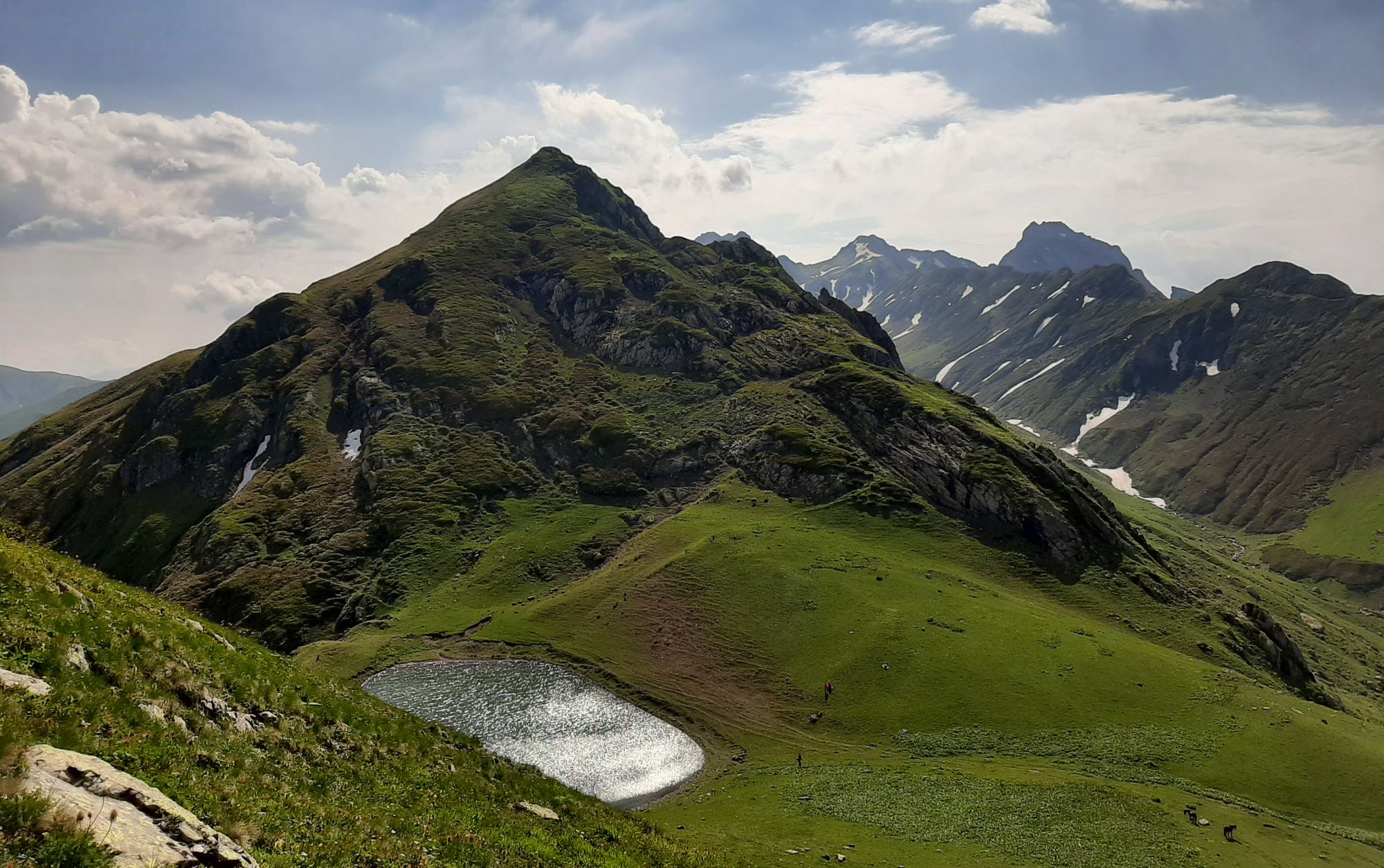
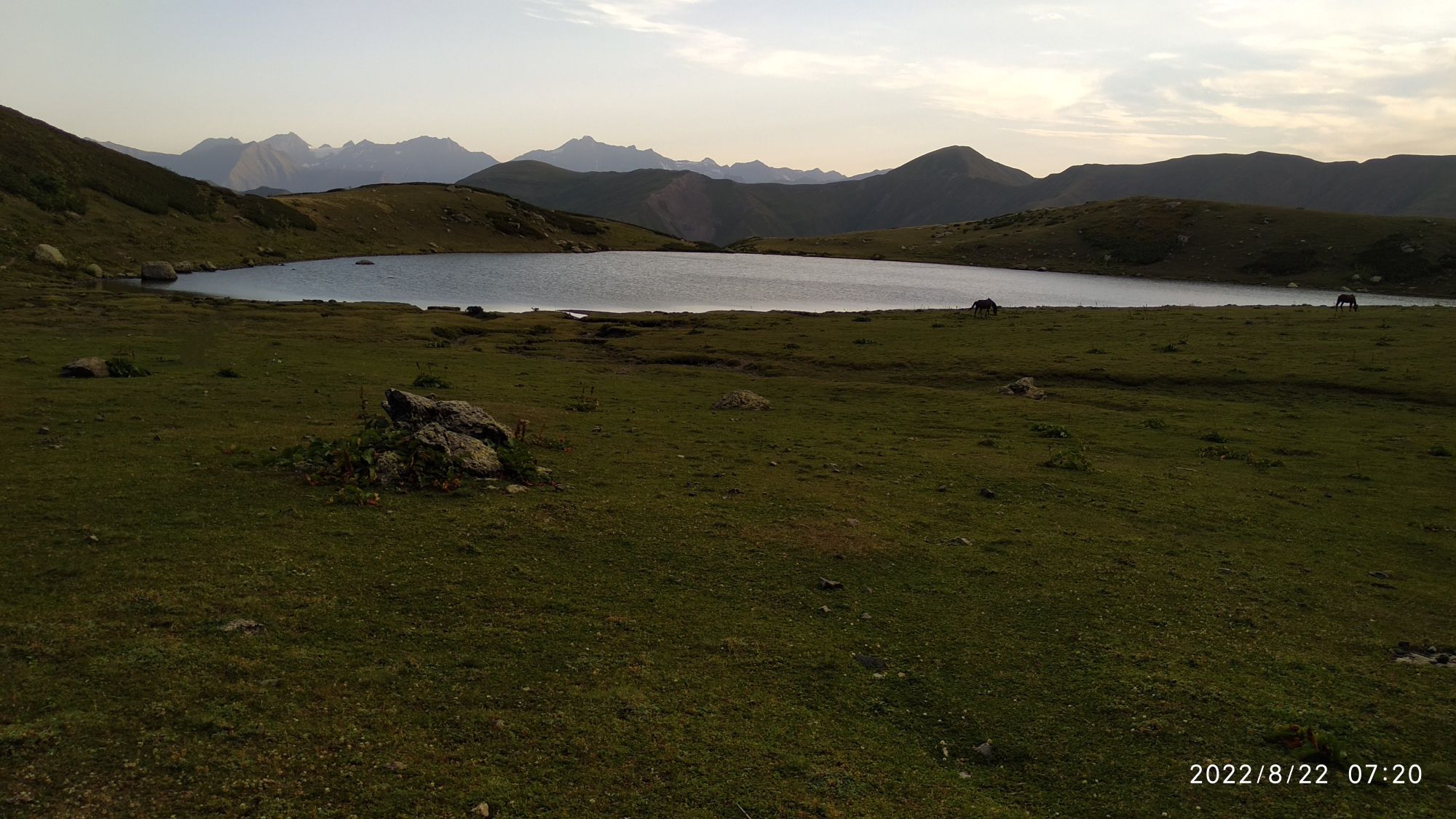
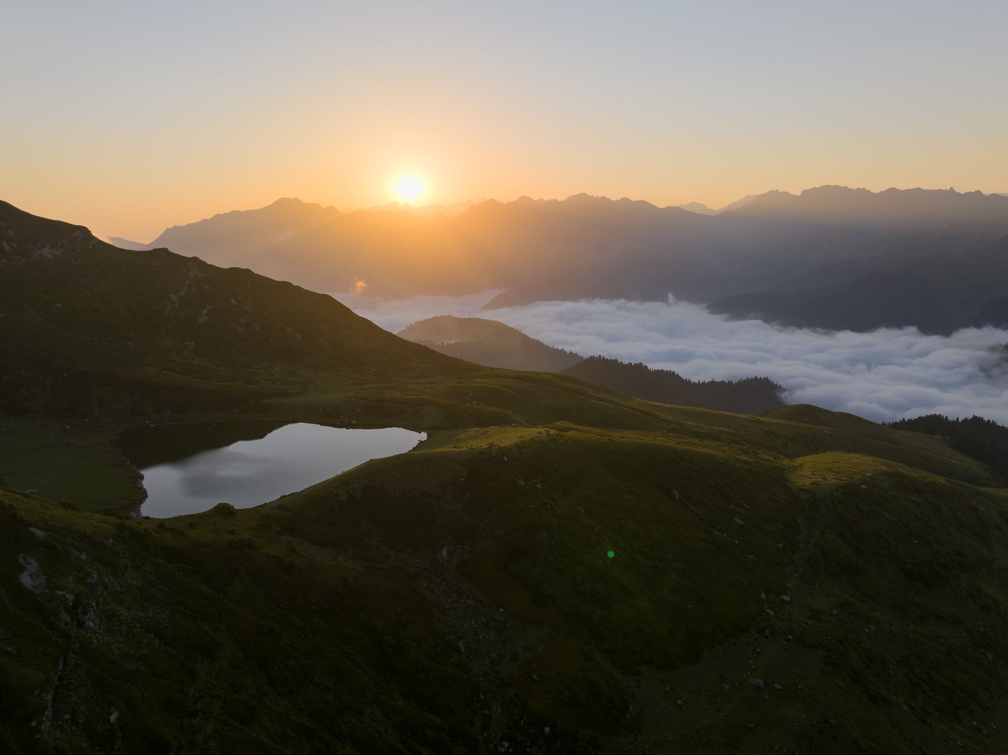
Smaller Lebarde Toba lake
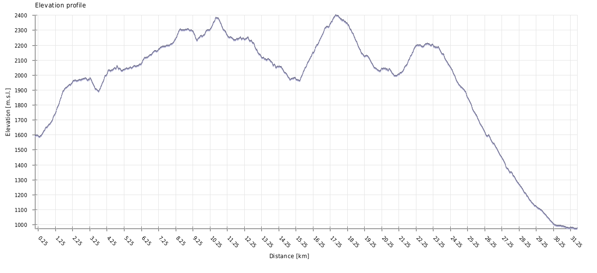
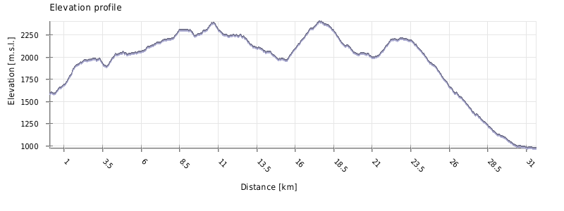
| Distance | 31.6 km |
| Trail type: | AB trip |
| Max. elevation: | 2401m |
| Min. elevation: | 974m |
| Total climb: | 2186m |
| Total descent: | 2800m |
Shorter day, should be able to finish even if you start around noon. You shall start from Lebarde meadow eastwards on the broader path, cross a little stream and then into the forest. Quite soon it will turn sharply south ascending the slope with some 150m of elevation gain.
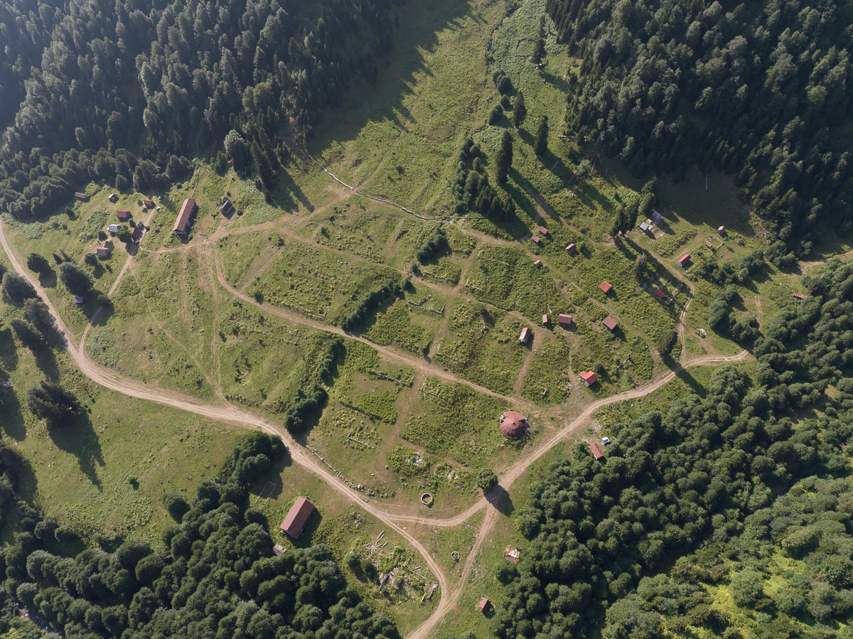
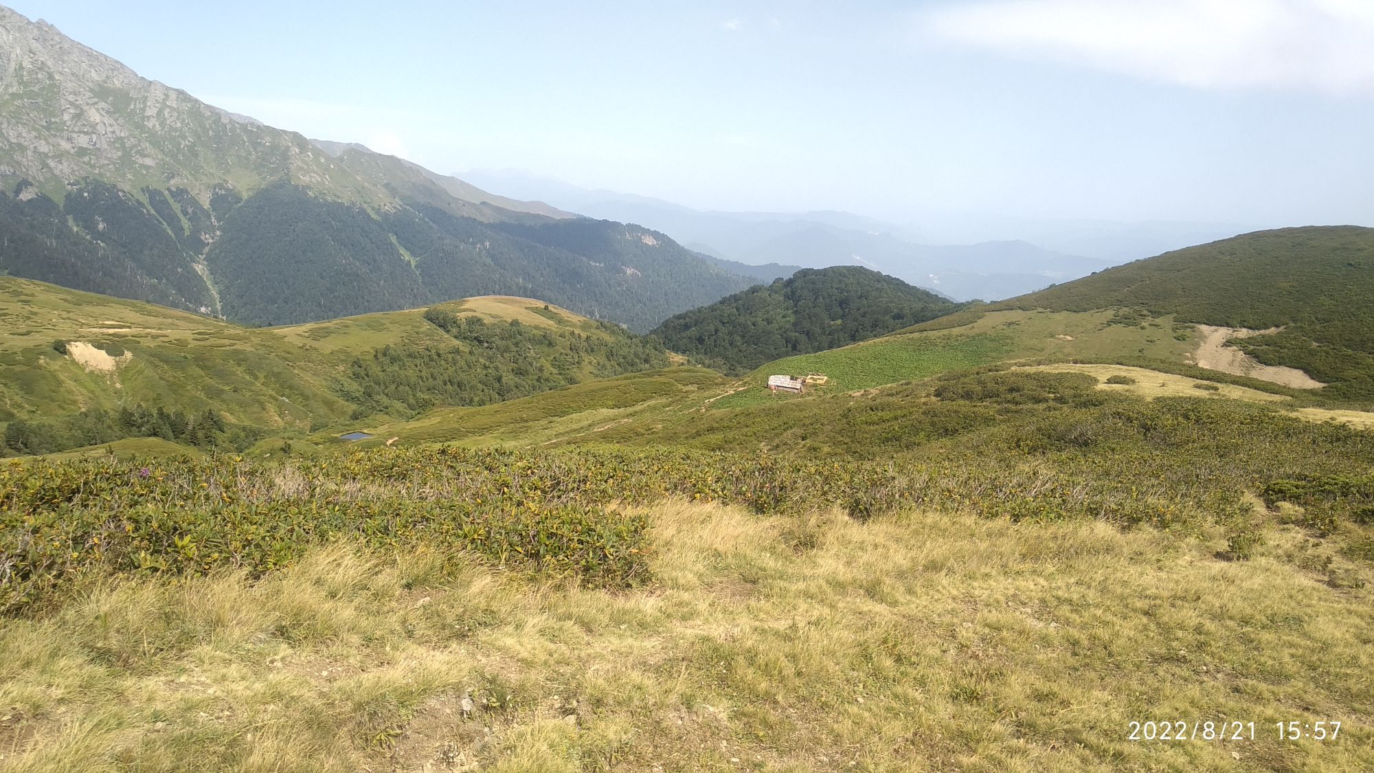
Once you reach the open area it follows a narrower trail on the hillside in the SE direction, mostly straightforward until you descend a bit and cross the stream next to the hut. Then you shall climb the opposing slope, soon bypassing another hidden hut lying atop. Two more streams are to be crossed at a relatively small distance while the direction slowly leans strictly south towards alpine meadows. Here, you shall find another couple huts. If you have some extra time, it might be a good idea to stop here - it is the best spot to eat elarji, traditional Megrelian shepherd's dish. The hosts are very hospitable, but its more polite to have some money with you, so you can buy sulguni cheese from them and they would use it to prepare the elarji for you.
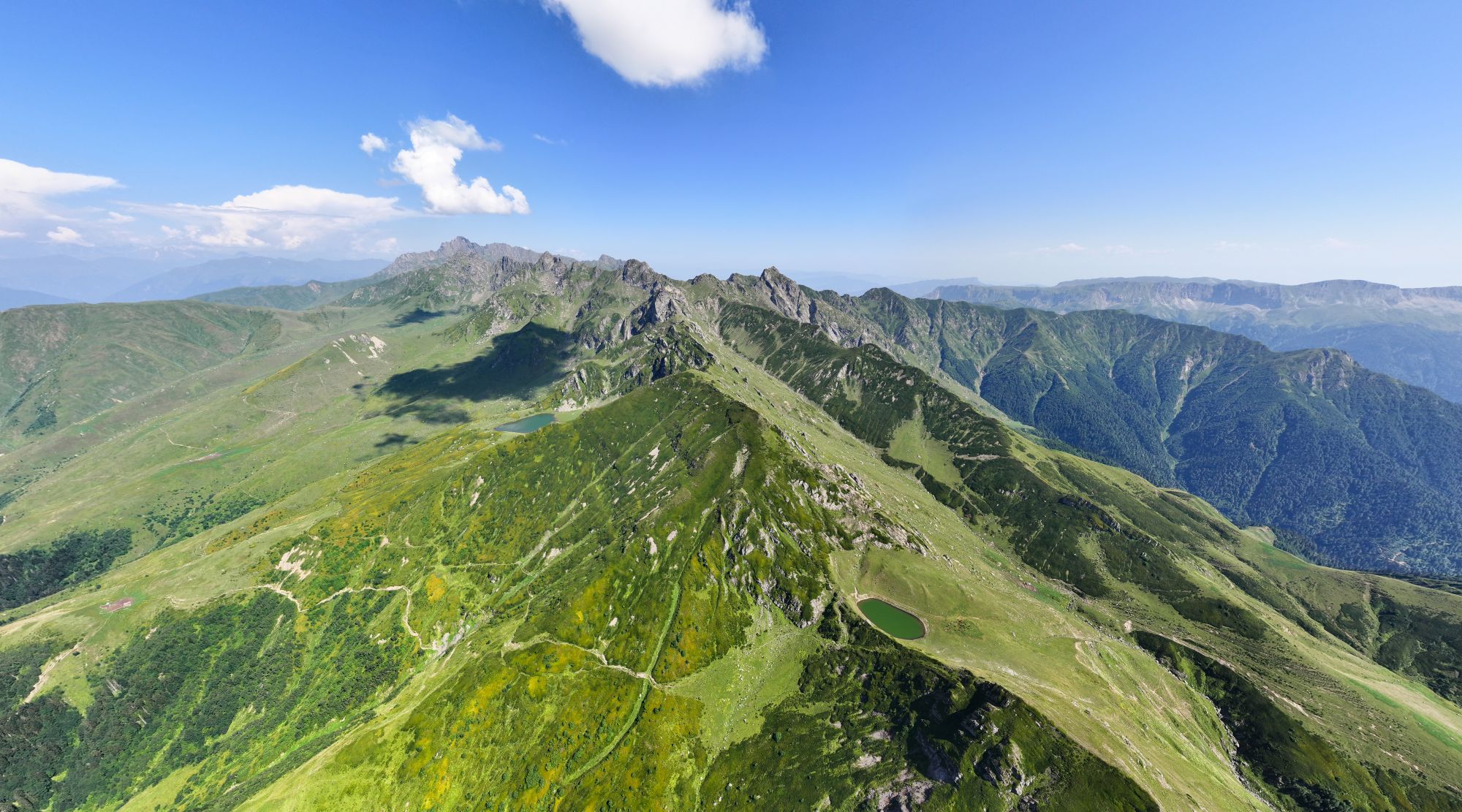
Once you are done, continue towards the lake. You may come across a few intersecting or parallel trails, but no worries. The one you follow will be most wide and well-trodden. Besides, you know the direction and markings are helpful as well. Turn west before the final short ascend to the Big Lebarde lake. From the "elarhji hut", it's less than an hour of walk. The lake is very nice, but it should be admitted it's no Tobavarchkhili.
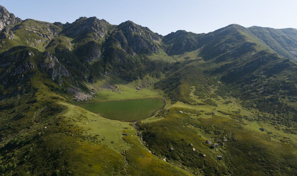
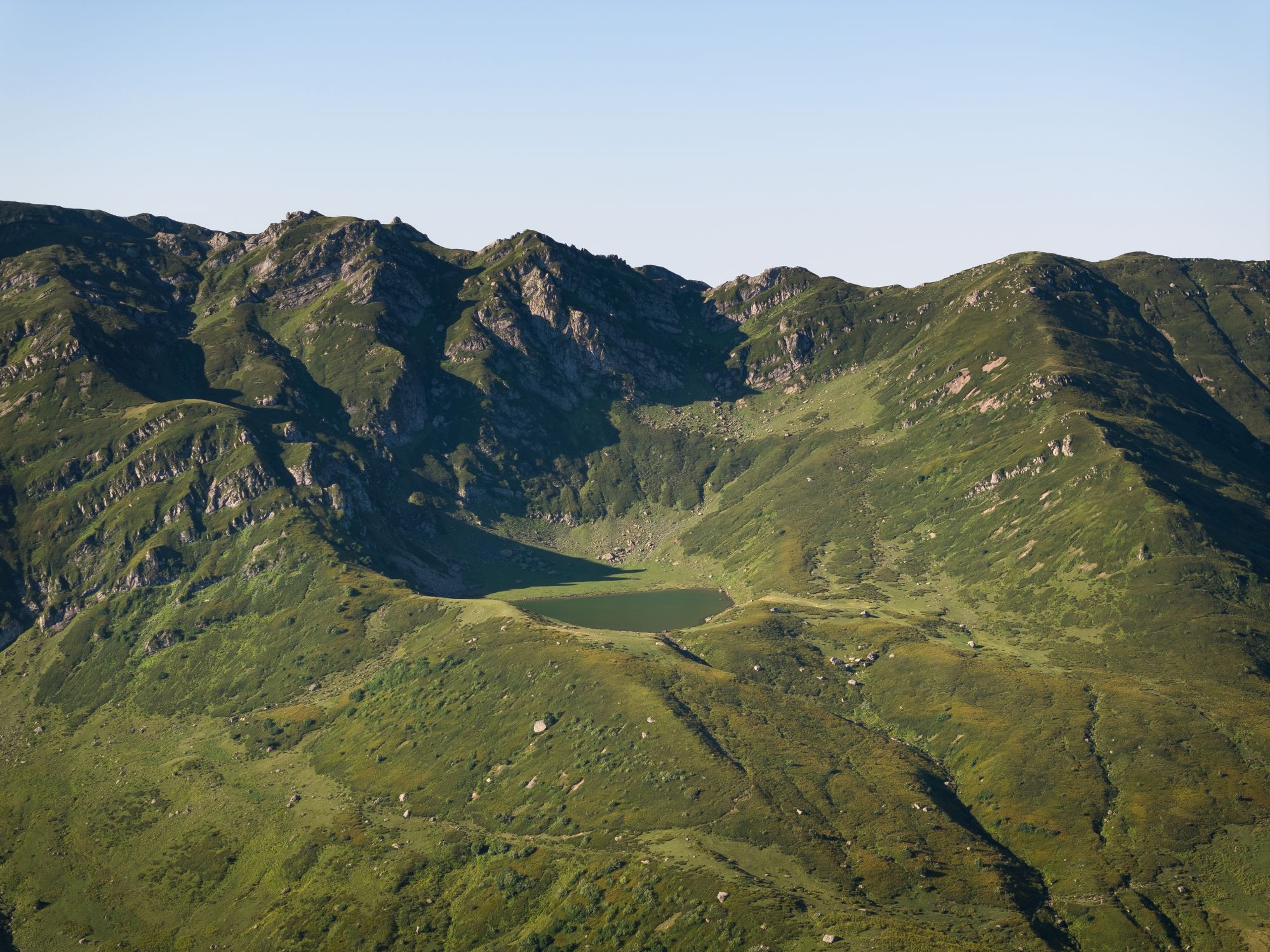
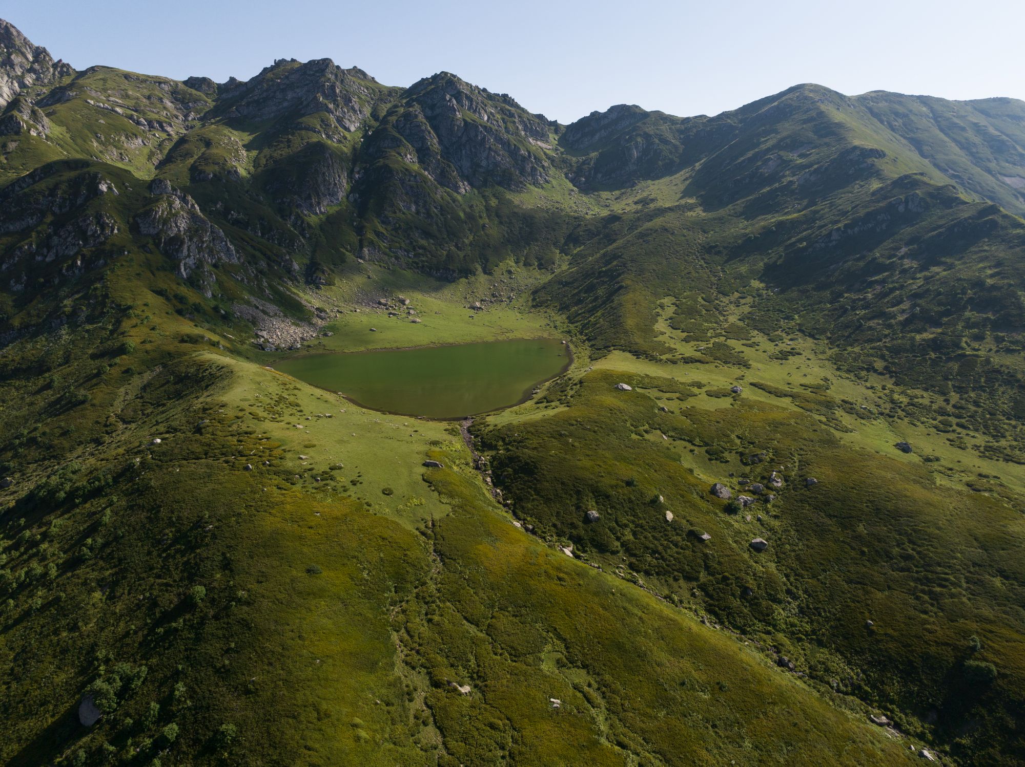
Big Lebarde Toba lake
Pack up and continue westwards from the northern edge of the lake. Path navigates through low-level bushes until it connects with a trail heading south which soon turns west and south again before reaching the small lake. Take a short break at the lake. From now on general direction is S/SE. Look ahead, you shall see a small Bechuni ridge in front of you and a hut emerging on the bottom edge.
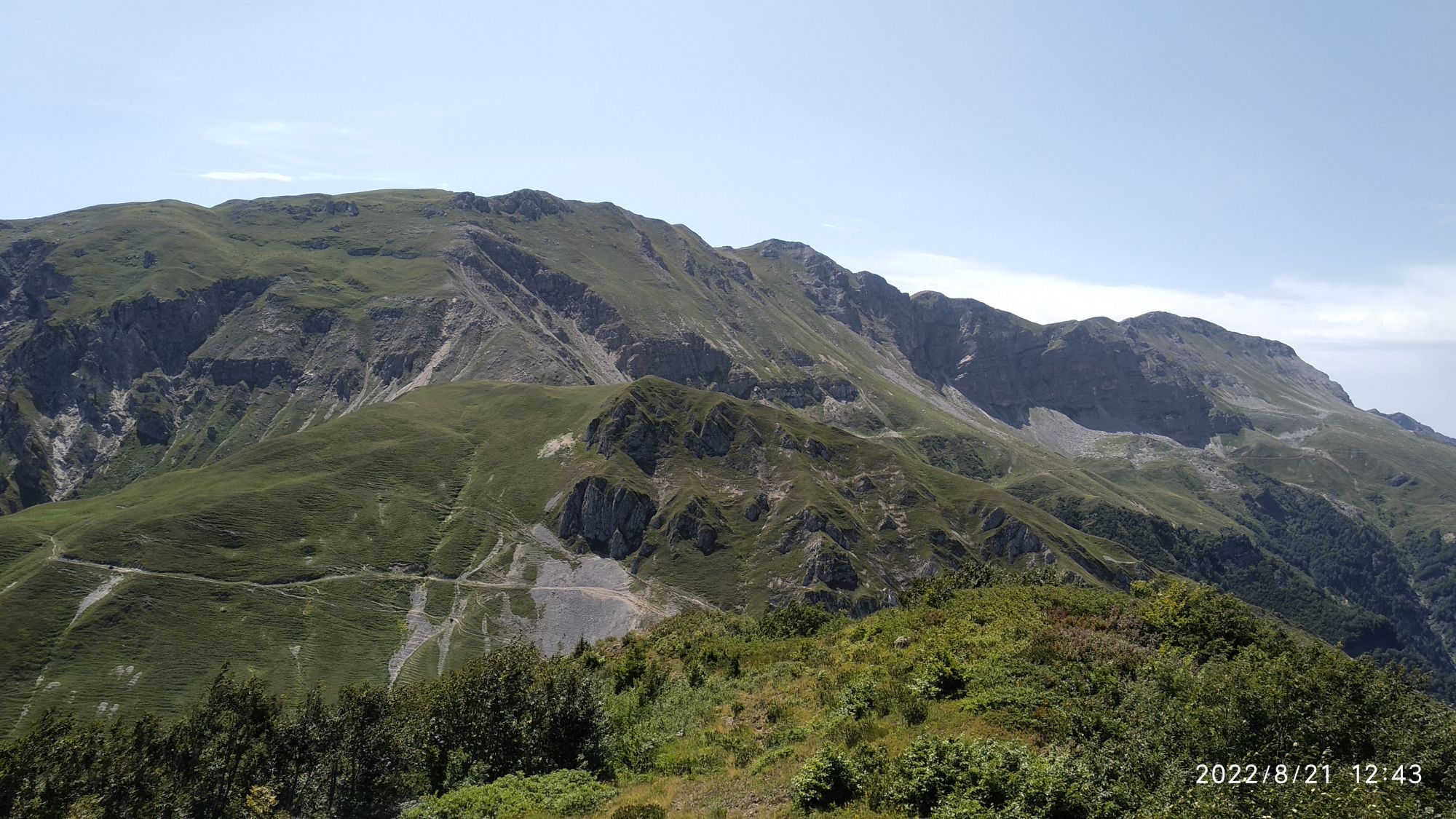
First, descend into the small gorge of Chipeghele stream, cross it near another hut and follow the trail on the opposing slope to climb Bechuni ridge well above the hut you saw before. Then comes a short walk along the contour line before transferring into a wide unnamed gorge (by some sources named Uchaghele). The trail is apparent, but rugged with many little zigzags. You slowly go down, passing one abandoned-like hut and the second resided by friendly herdsmen which is already near to treeline located below 2000m.
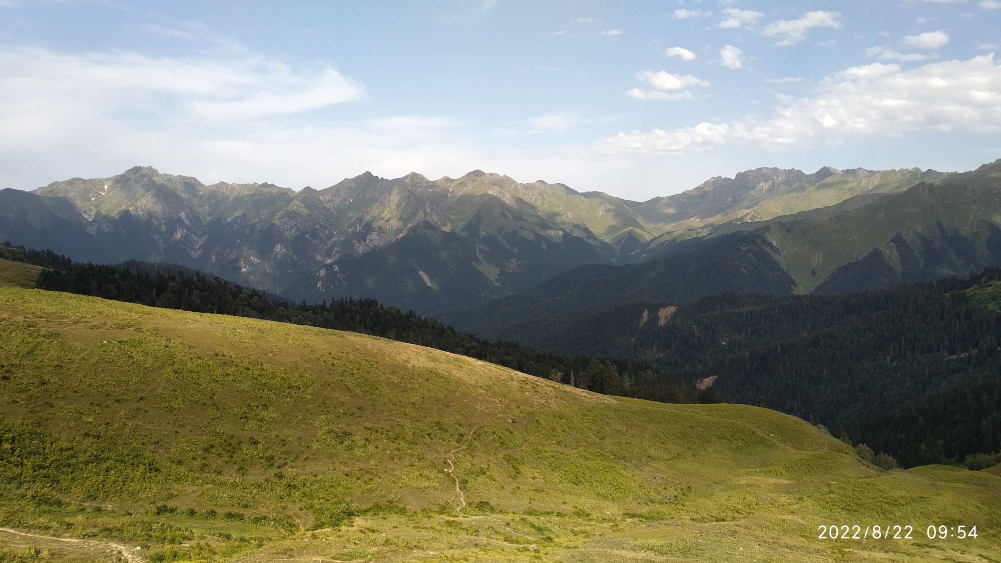
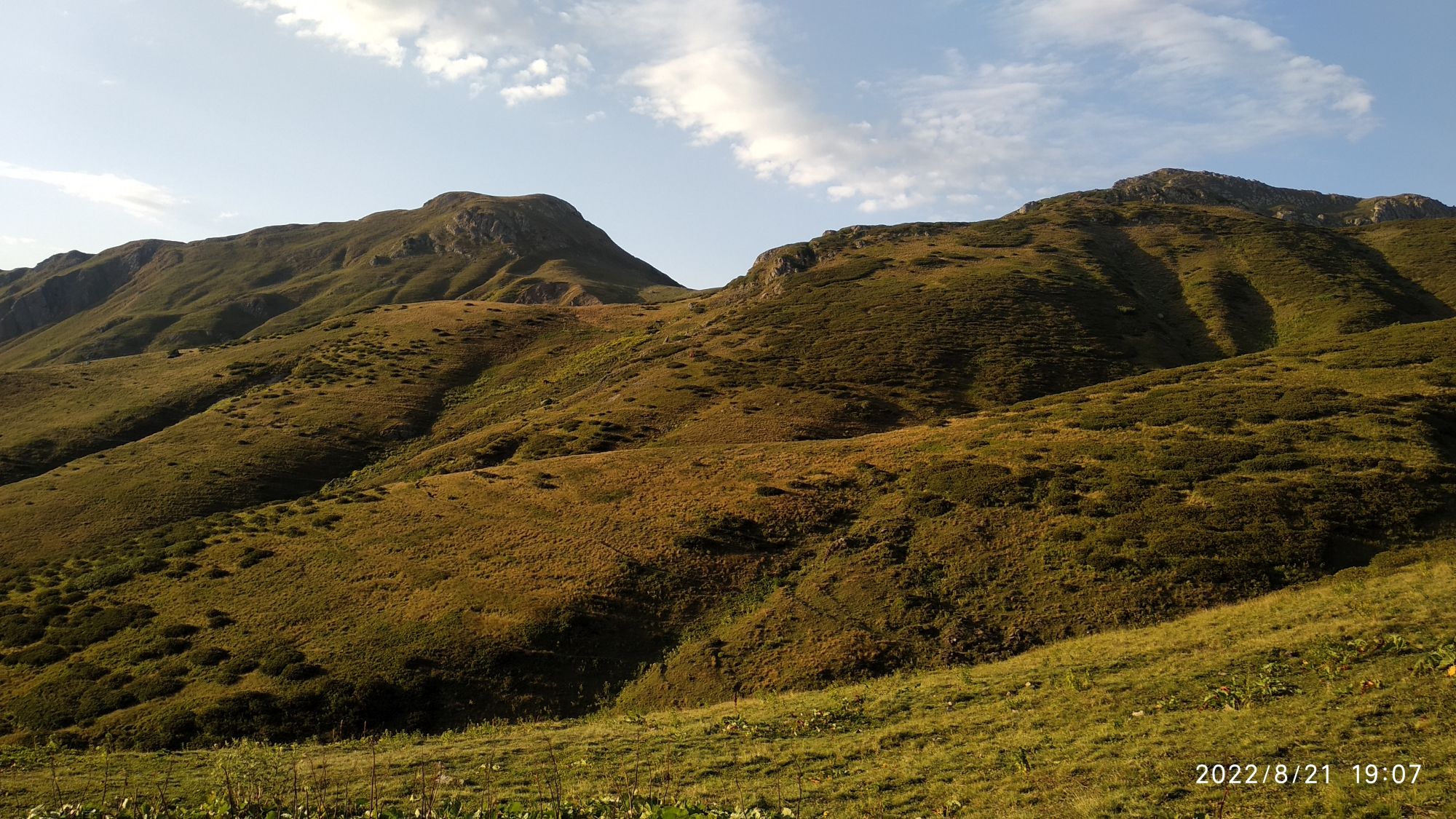
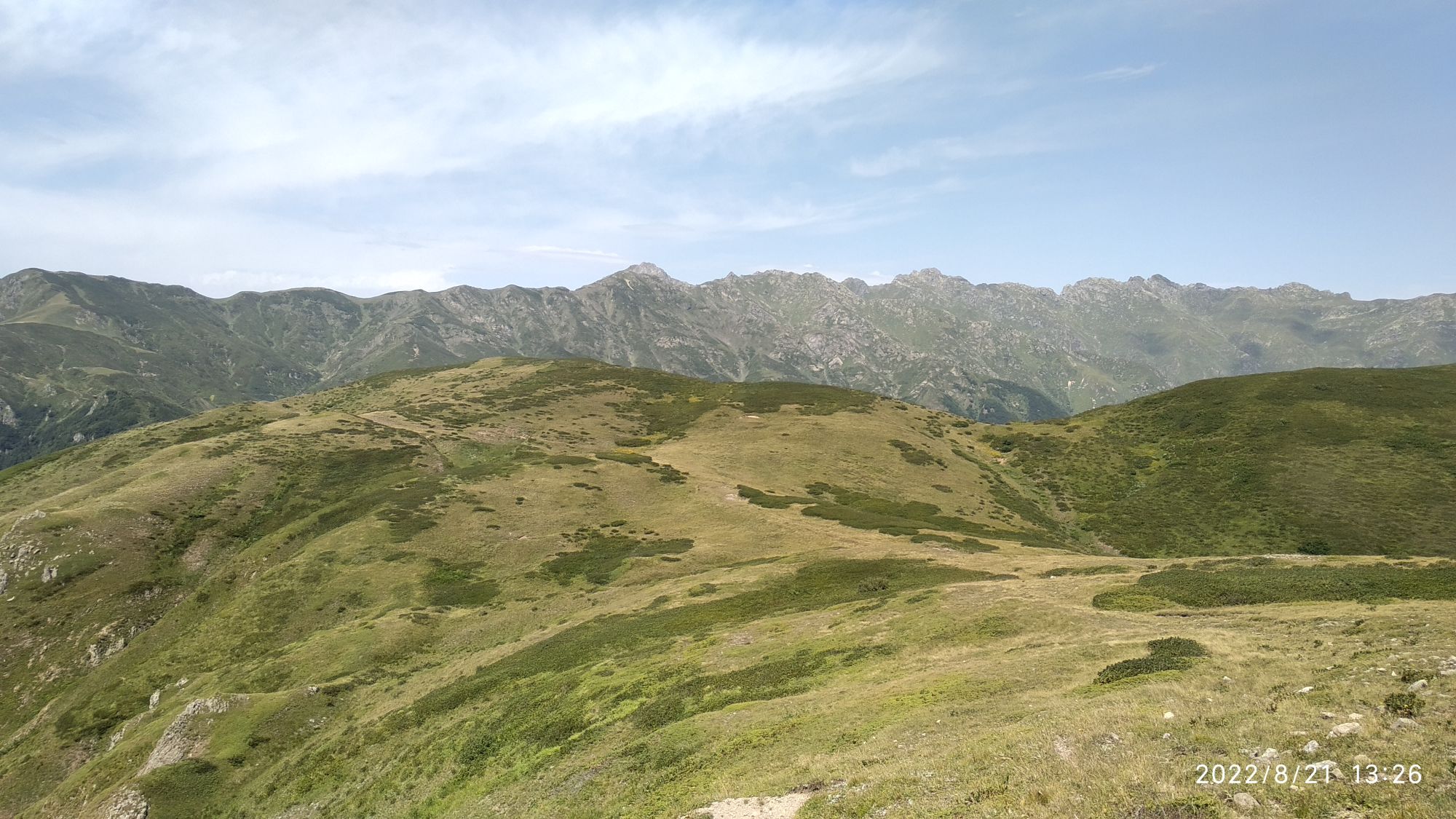
The track soon track climbs gaining 400m of elevation to reach the top of the ridge. Once you get there, the spectacular scenery of Janauli valley, Askhi plateau, Egrisi ridge and remote Svanetian mountains will show up. You are already in Lechkhumi. Take a rest and continue NE covering just a few hundred meters.
Turn SE towards wide meadows. Descend and finish your hike near the hut at an elevation of 2100m.
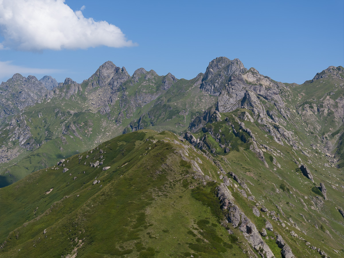
Unnamed valley and ridge which has to be crossed close to Bechuni. Looks frightening but there is a good trail.
From the hut walk downstream along the dried creek (might be alive in early summer). Soon it becomes watery, so fill up the bottles! Cross it several times before an overgrown 1.5km section starts. A narrow path enters the forest from the west bank. Keep the southeastern direction. Be very watchful and attentive in the forest to notice the marks on the trees, branches and logs. You will also pass two very small open areas.
After this part, you gonna traverse through a broad grassy ridge separating Janauli (Lechkhumi side) and Tekhuri(Samegrelo side) valleys. The final descent section to the junction is also a bit overgrown but nothing frightening, just medium-sized bushes. From the intersection turn in the eastern direction and follow a wide path going downwards into the forest (trail heading south leads to Askhi massif). After several small zigzags, you’ll access the water. Creek flows too weakly on your right side and is almost hidden under the thick cover of plants or disappears beneath the rocks. If you can’t find it don’t worry, soon you’ll cross a stream.
The trail becomes a bit faint as you approach the village and the terrain turns grassy, however it never gets hardly recognizable. You pass one big open area, again forest and wide field with a standalone hut on your left side. Cross Janauli river twice in a row and in 5-10 minutes you are at Green lake. From here, you can continue further to the central road, but it would be a crime not to stop for a beer and a fresh fish at the local trout farm. You certainly earned it! :)
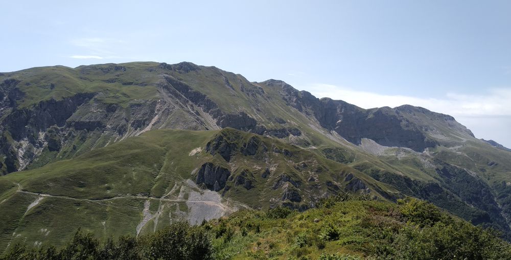
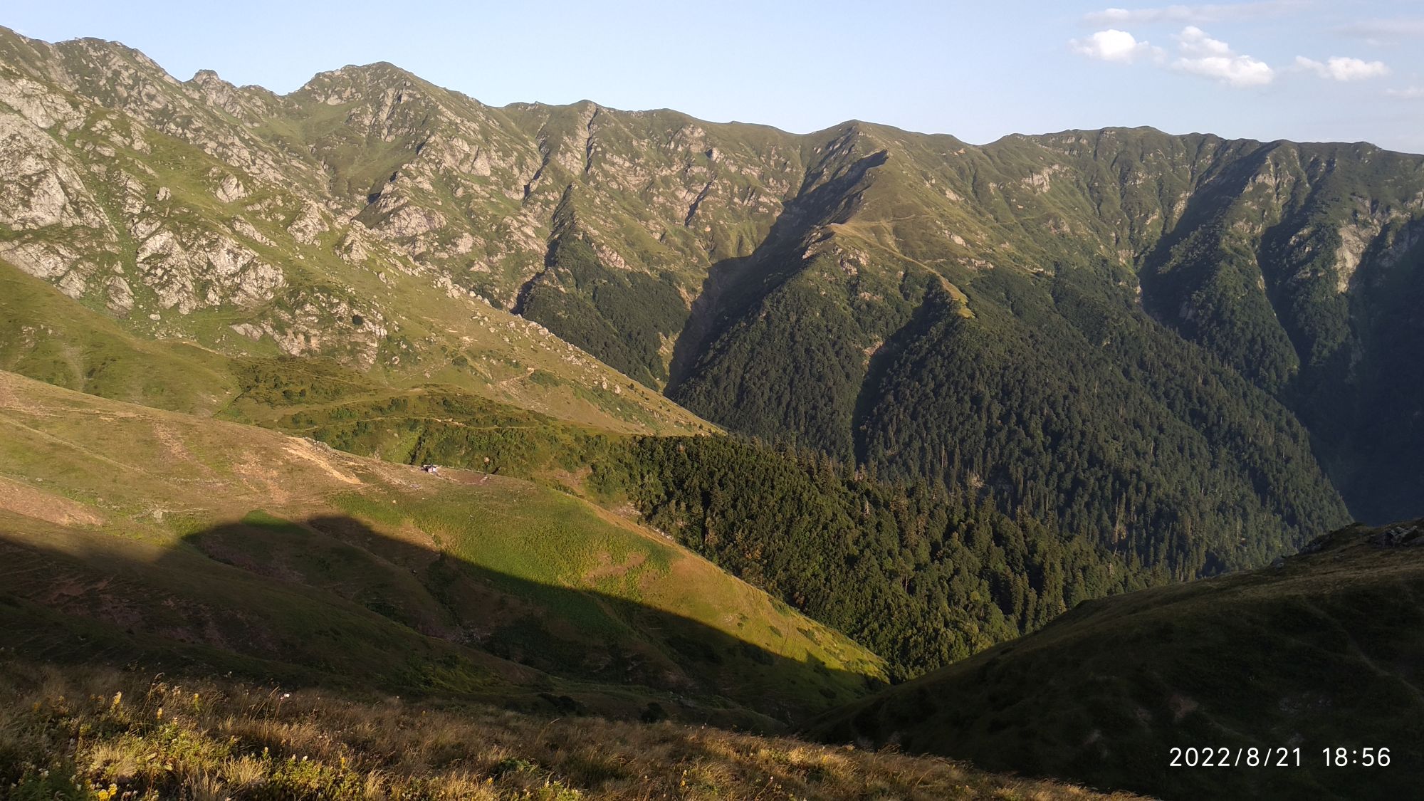
Approaching the last large junction. The trail in the background leads to Askhi.
The trail was hiked by Alex, local backpacker and trekking guide, who also provided gpx, hike description and most of pictures. Remaining photos (those better ones :) were provided by a Dutch hiker/photographer Thomas van Hemert. Thanks a lot!