A little-known spin to one of Georgia's most popular hikes.
Hike to the Gergeti glacier is without discussion one of the most popular Georgian hikes - during the season, dozens of hikers depart from the Stepantsminda village, not counting many others who aim much higher, to the very top of Mt. Kazbek itself. The hike is great - passes the famous Gergeti Trinity church and if the weather allows, offers views of Mt. Kazbek, yet, there is a small drawback - you take the same route to the top and back. But there is a fix even for that - not many people know, that there is an alternative route to the glacier, starting at the Arsha village, which joins the classic trail a little below the glacier.
It should be admitted that if there was a jury that rated individual hikes by numbers, the Arsha route would score less that the classic trail. Still, it has its merits - for example, the ruins of Toti village were pretty interesting. It is also a good pick for hikers who are already familiar with the classic route. And what's even better, you don't have to choose and can just do both trails in a single day as a loop - picking one route to get to the top and the other one to return.
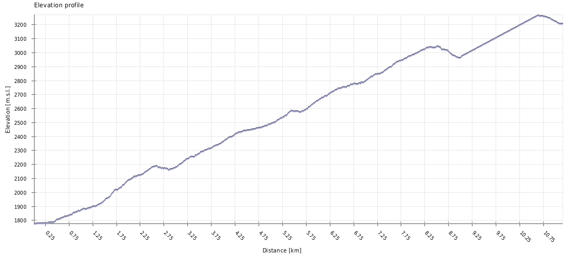
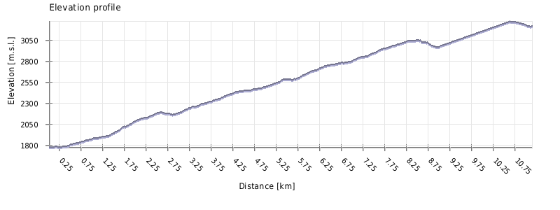
Just like the classic route, it takes about 5 hours to make it from Arsha to the Gergeti glacier and another 3,5 hours to get back.
This hike is not to be underestimated, almost 2000 altitude meters up and down is nothing to scoff at. Moreover, on this route, you cannot "cheat" by taking a taxi for the first section of the hike.
On a positive note, the hike is pretty smooth - you gain lots of altitude, but slowly and steadily.
It´s best to wait for a time when most of the snow around Arsha pass and AltiHut has already melted, so you can close the loop and finish in Stepantsminda, even if you are not able to go all the way to the glacier. Which means the most optimal time to visit is from second half of June until mid October.
In my opinion, it´s better to start at Arsha, climb to the glacier and descend to Stepantsminda from there. It´s much easier to arrange transport from Stepantsminda to Arsha than vice versa and also, it would be a pity not to see Gergeti Trinity church on the way down - it gets beautifully illuminated by the afternoon sun against the backdrop of the Kuro massif.
Looking for a place to stay in Stepantsminda before the hike?
These are my favorite guesthouses.
Getting to Arsha is easy, assuming you are starting from Stepantsminda. You can either hitchhike or take a taxi - since the route is only 6km long, you shouldn´t pay more than 20 GEL.
If you want to take taxi from Arsha, better get some phone numbers in advance at Stepantsminda since getting it here might not be easy. Of course, you can also hitchhike - the traffic on the Georgian Military Highway is quite intense, so you shouldn´t wait for long.
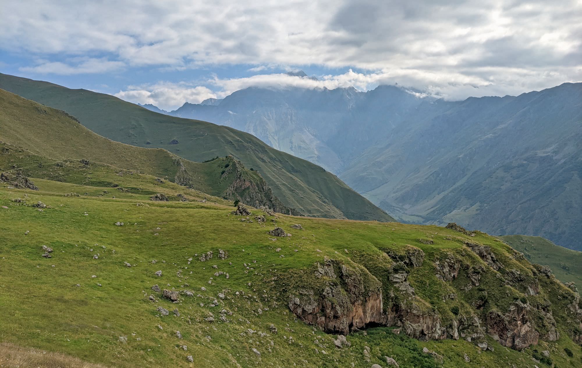
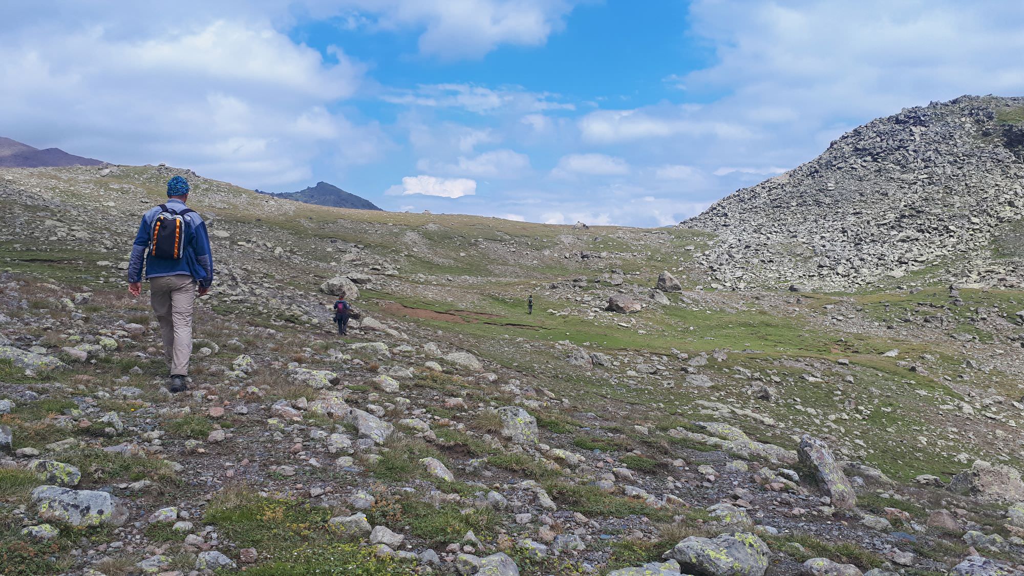
Views from the bottom part of the trail
| Distance | 22.3 km |
| Trail type: | Roundtrip |
| Max. elevation: | 3209m |
| Min. elevation: | 1780m |
| Total climb: | 1950m |
| Total descent: | 1950m |
The trail starts at the Arsha bridge. Ahead of you, you can see Arsha waterfall, and you could reach it if you followed the road ahead, but we don´t have time for that today. Instead, right after the bridge, turn left onto a small footpath and follow it for about 300 meters, till you reach an old dirt track that connects villages Gaiboteni and Toti, both abandoned.
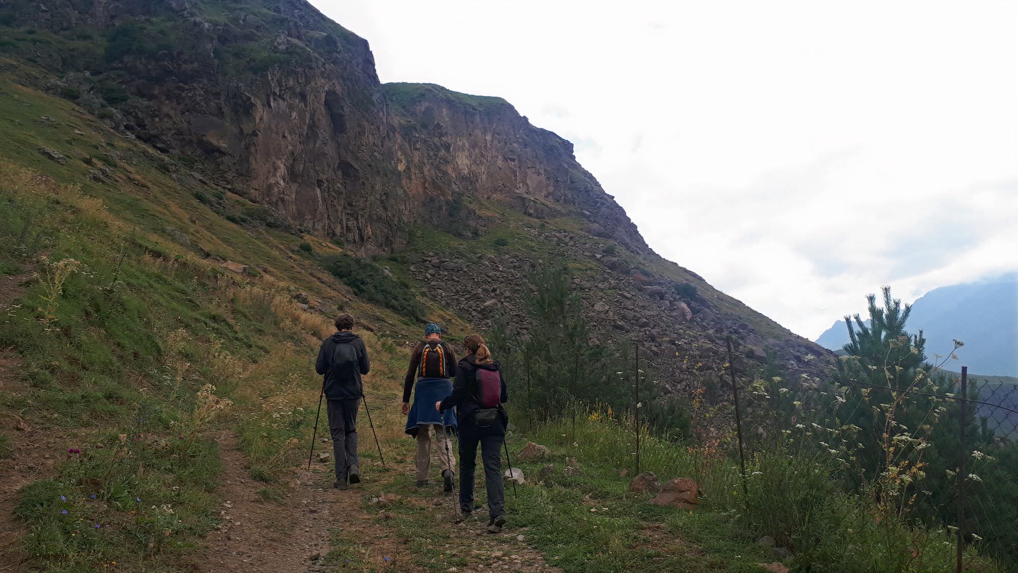
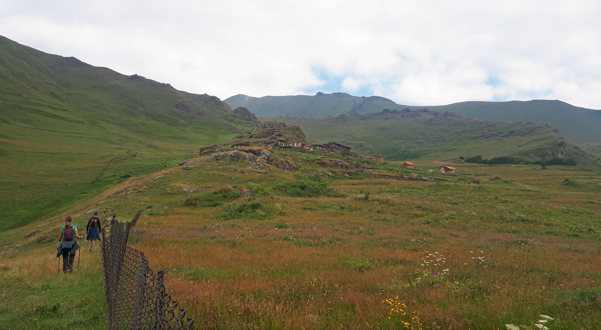
Once at the dirt track, turn right and start climbing on a series of switchbacks. More than 1km later, the road splits - the dirt track continues right, around the hill. But there is also a shortcut to the left, which climbs by the creek, into the crack in the rock wall. Dirt track may offer some better views, but we chose the shortcut. After you pass through the crack, turn right and very soon, you will reconnect the (now mostly overgrown) dirt track running by the metal fence.
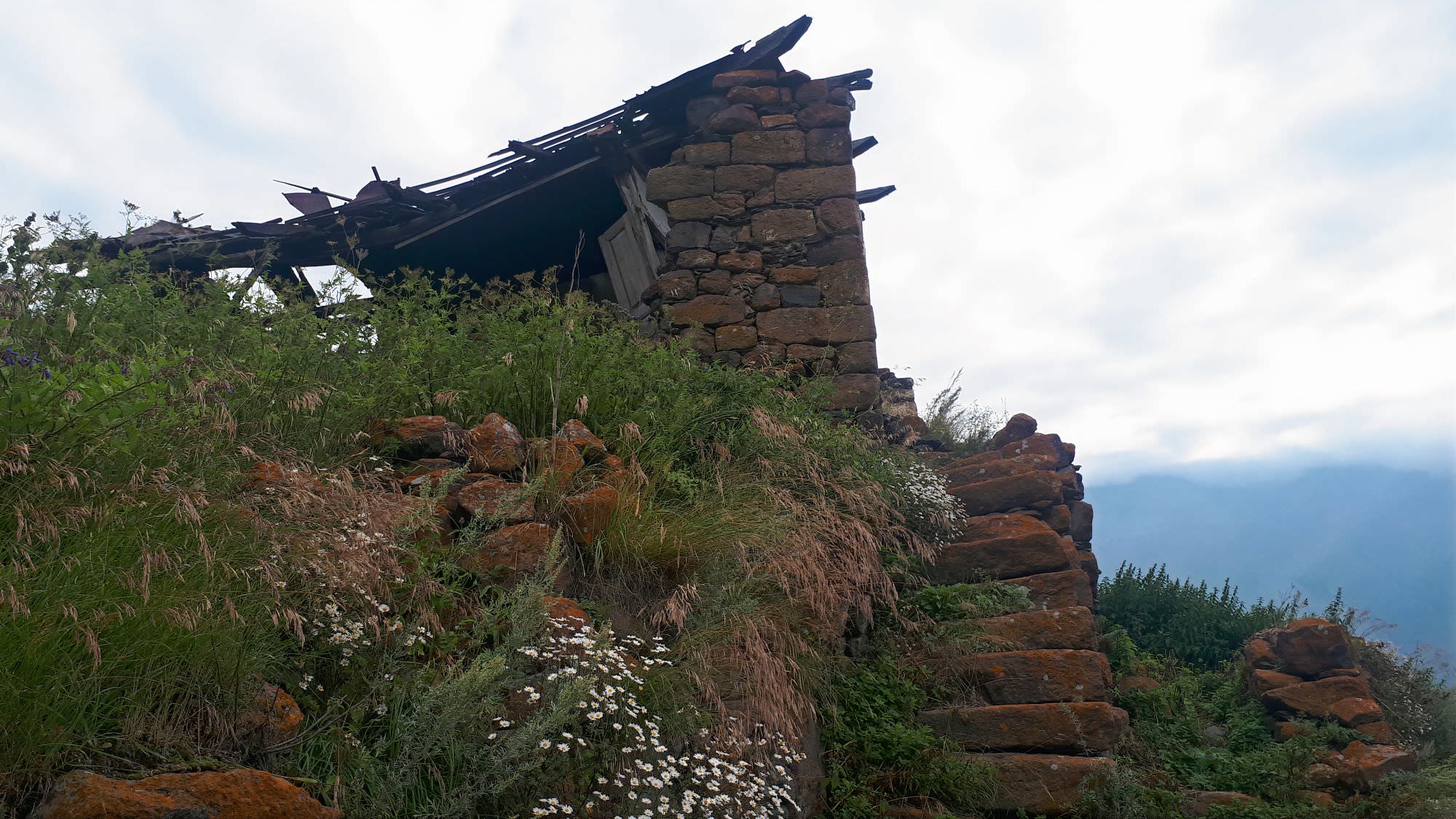
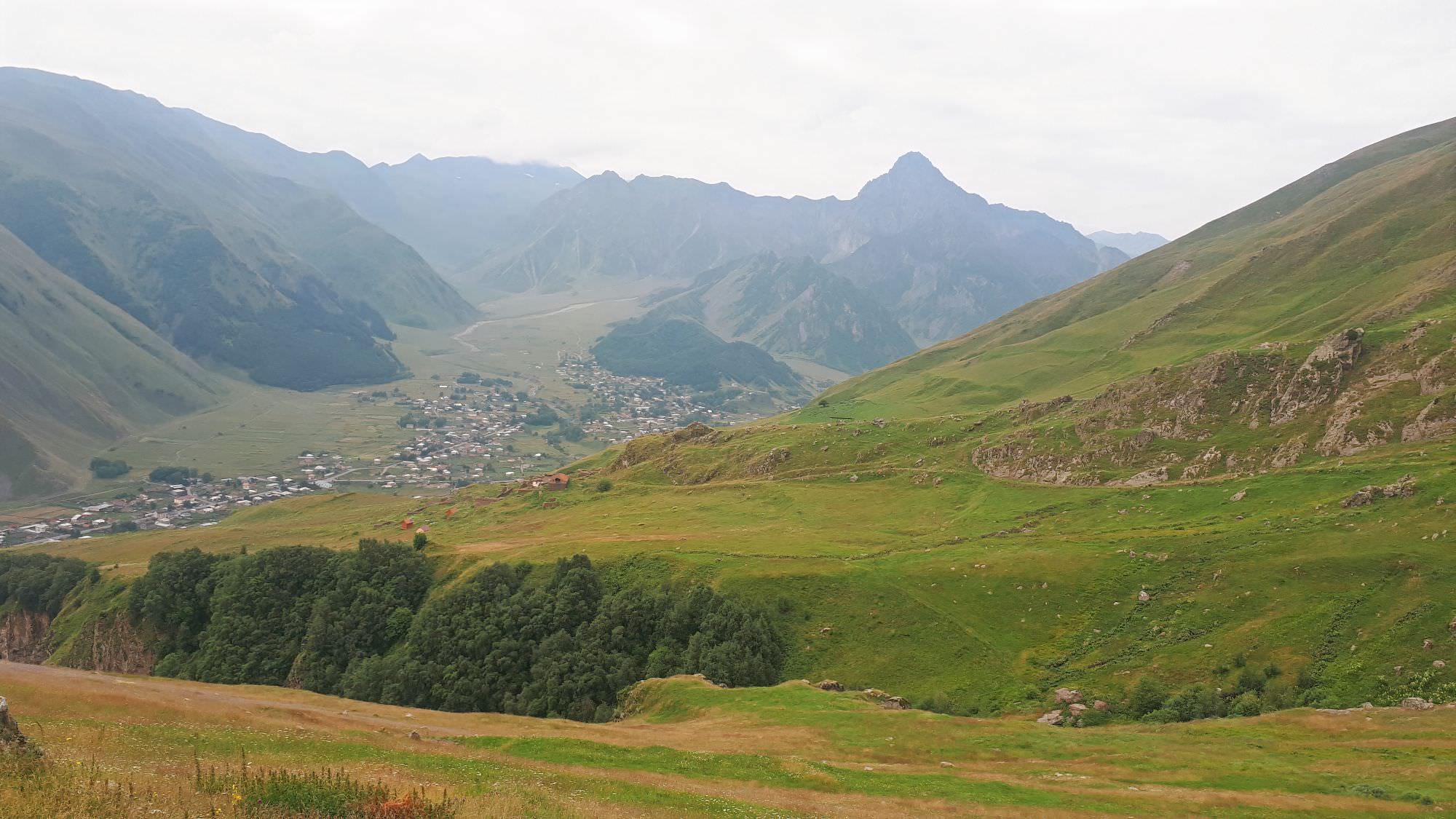
By this time, the ruins of Toti village already came into view, situated just a little ahead of you. This is where the track ends. It is also a great place for a break - the village lies in ruins, but enough of it was preserved so you can admire the craftsmanship of local stonemasons. Just be careful - some houses haven´t collapsed completely, but that can change anytime.
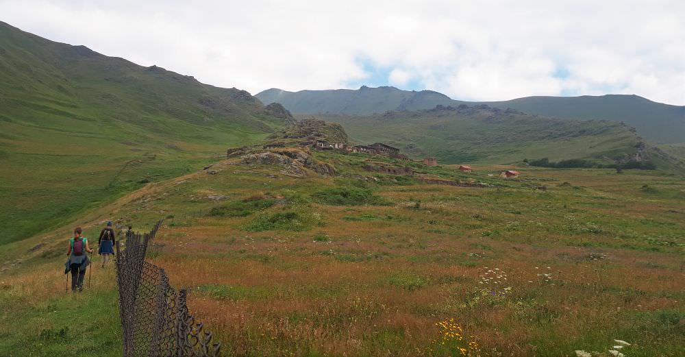
Ruins of Toti village ahead
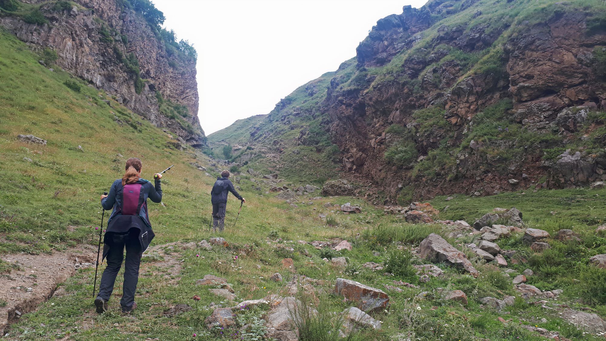
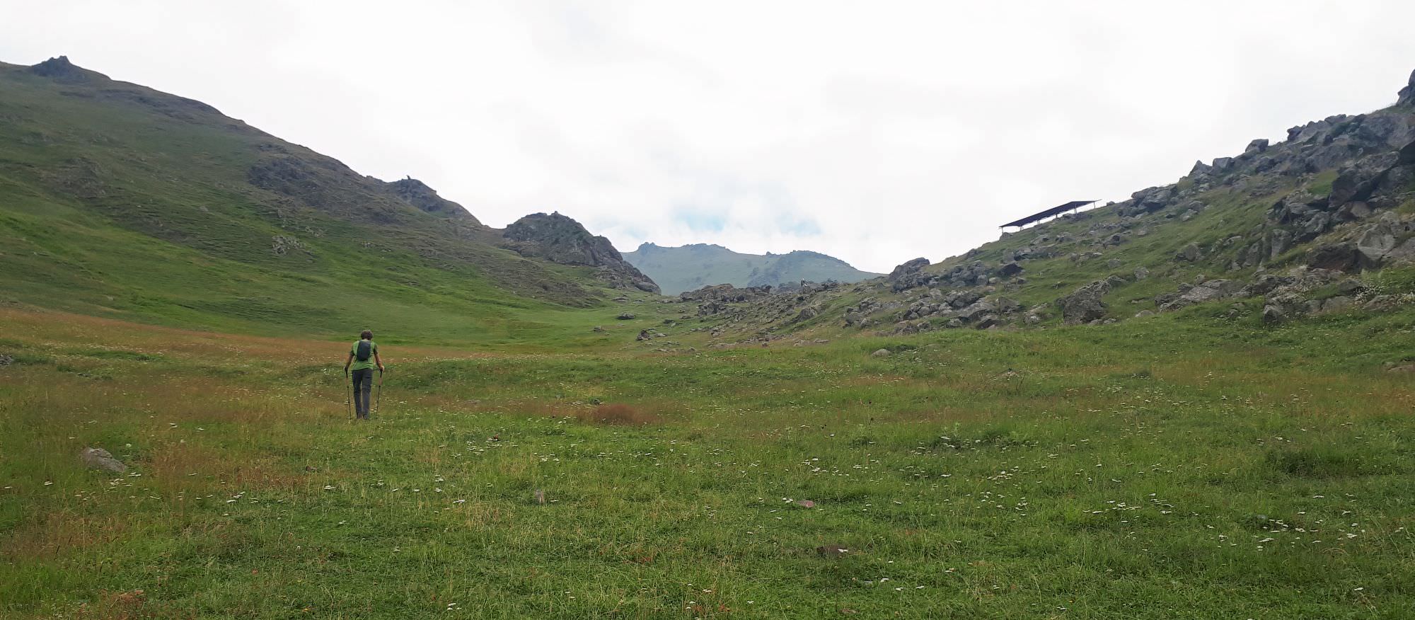
The trail then follows the left side of the ridge, but only for a short while - then, you shall see a roofed place for festivities. Climb a bit to it and go down immediately to the other side. From here, a faint trail follows the contour line to Arsha creek. The creek can be jumped over, but suitable rocks lie right above the steep drop so it's better to ford it.
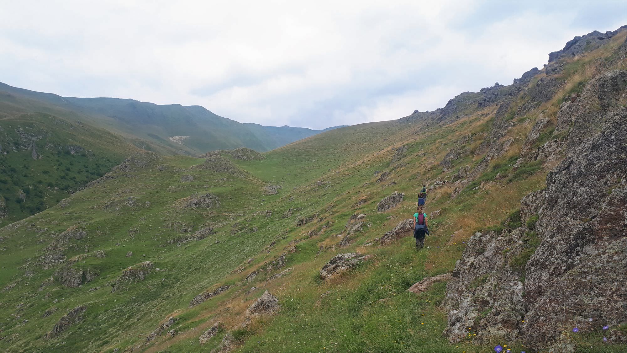
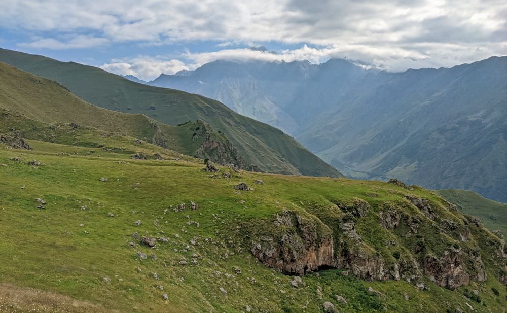
From the creek, you need to climb 100 altitude meters to the rocky outcrop you can see above you. The trail bends around it and then heads straight up, slowly sliding to the left. At these sections, it climbs slowly, but steadily, it's well-trodden and easy to follow.
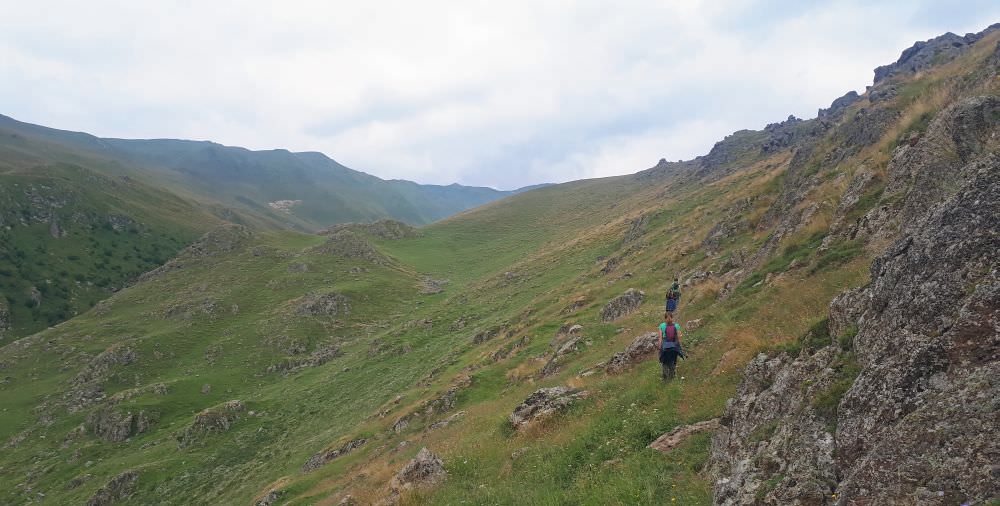
Trail runs in the hillside above the Arsha creek
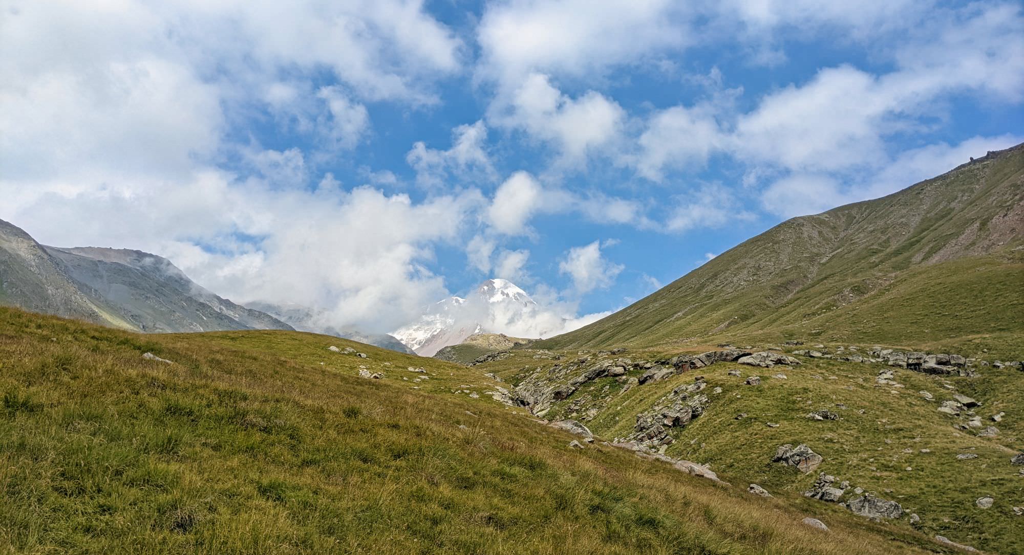
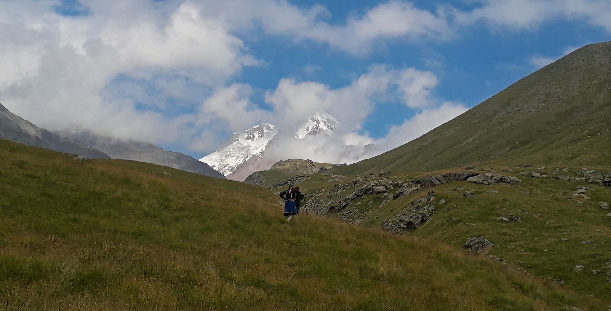
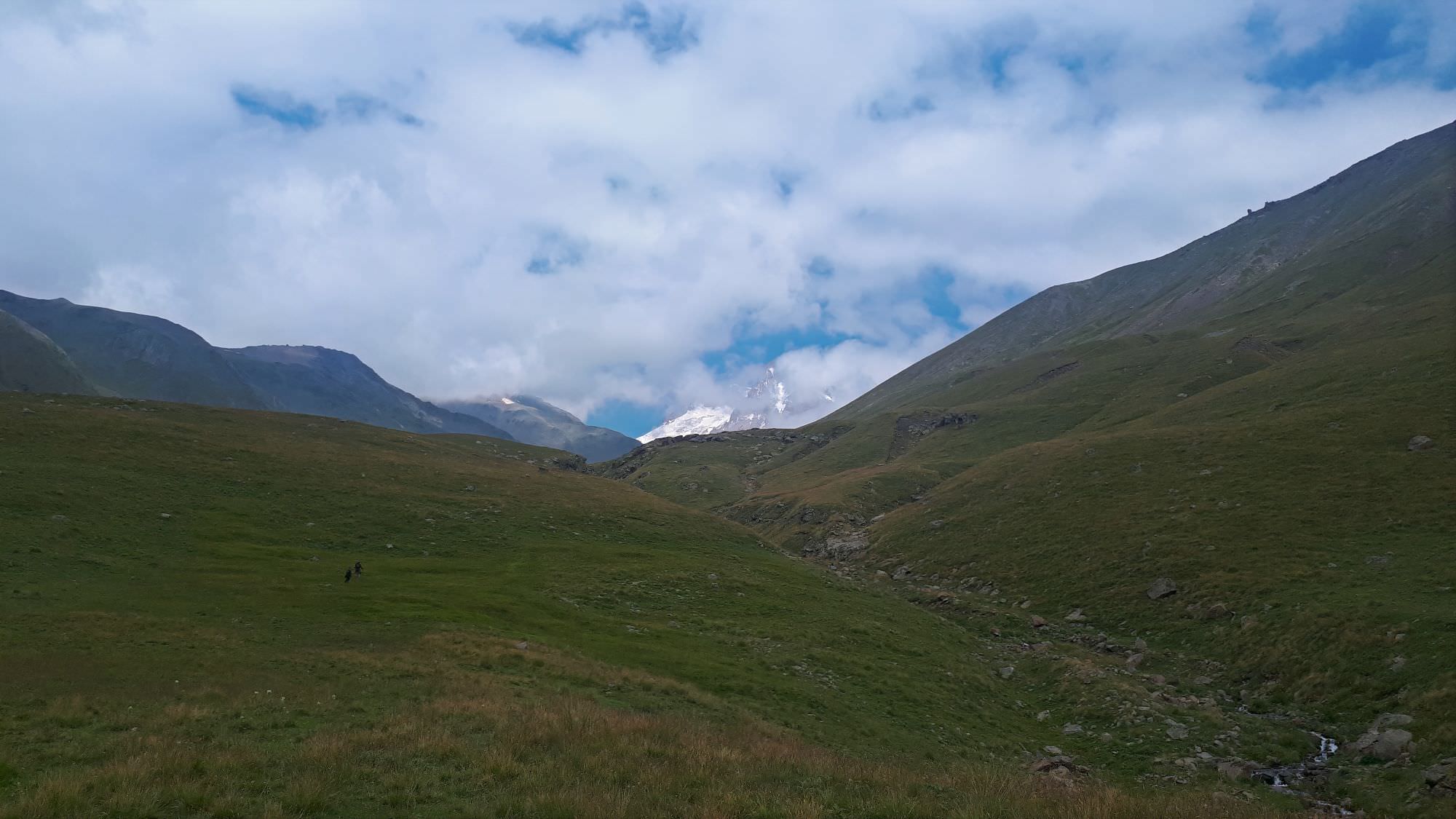
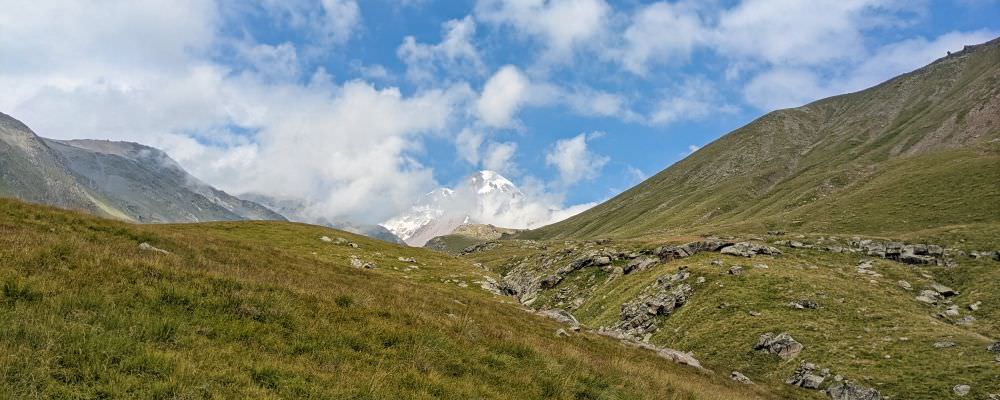
Eventually, Mt. Kazbek comes into view. The trail still navigates the mountainside to the right from the river, but the distance between the trail and the creek slowly decreases. Once you pass the spot where the creek below is joined by several smaller subsidiaries, the trail fades out. Shortly later, you need to cross Arsha creek and continue on its western bank. The next section is a bit steeper, but the valley flattens soon enough. It is used for shepherding, so even if there is no trail, the grass is short and easy to walk on.
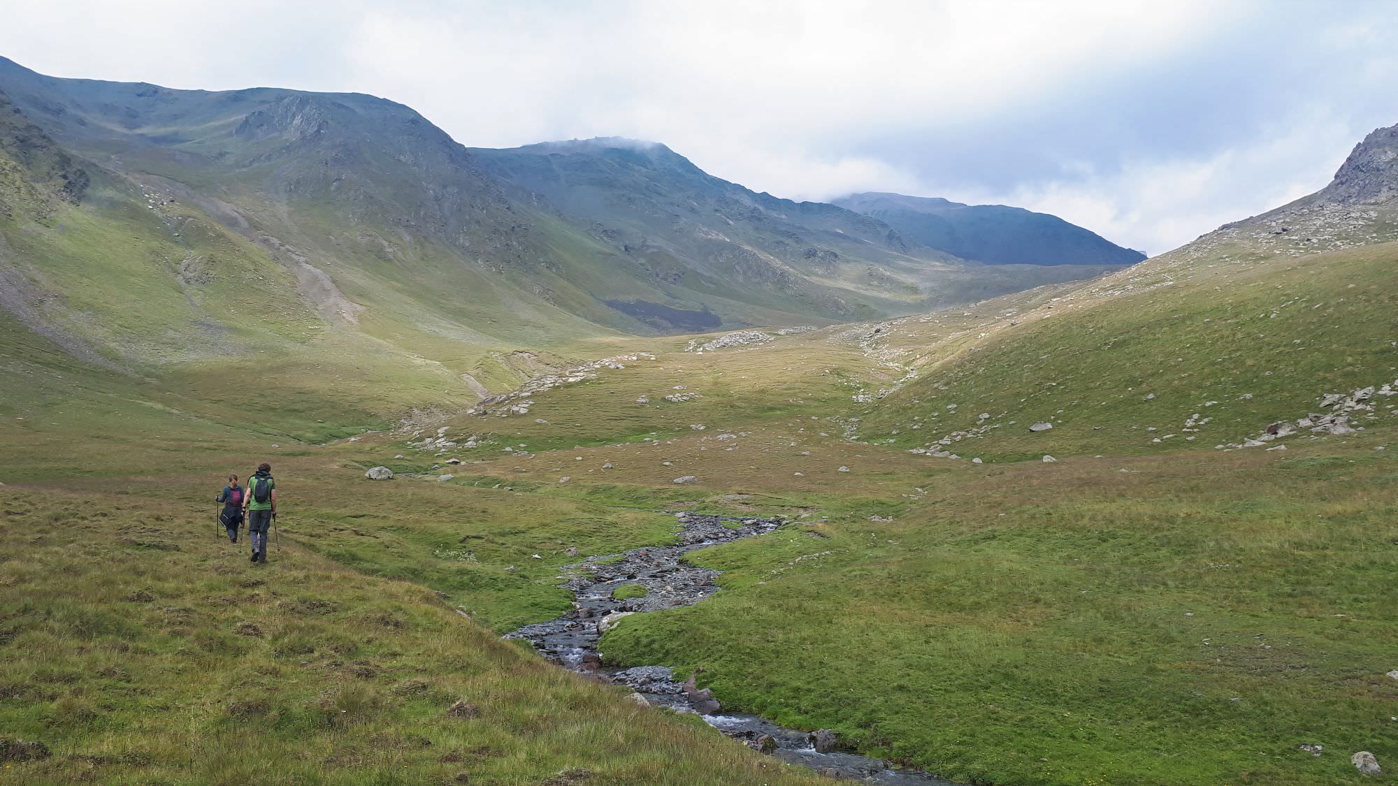
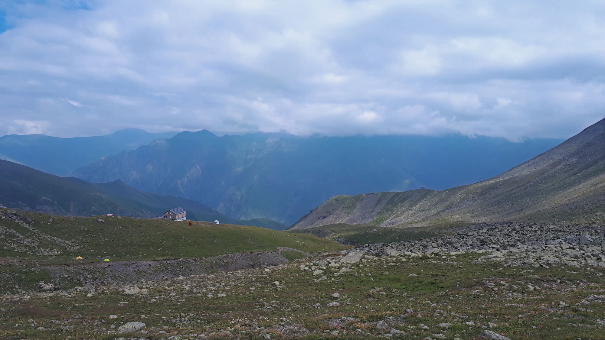
The upper part of the valley bends to the north. Cross the creek again (there are some nice camp spots around) and follow it. Arsha pass is not far, but it comes into view only quite late since it´s obscured at the right side of the valley. Either way, climbing it is a piece of cake. Once at the top, you will notice AltiHut and "Kazbegi highway" right below.
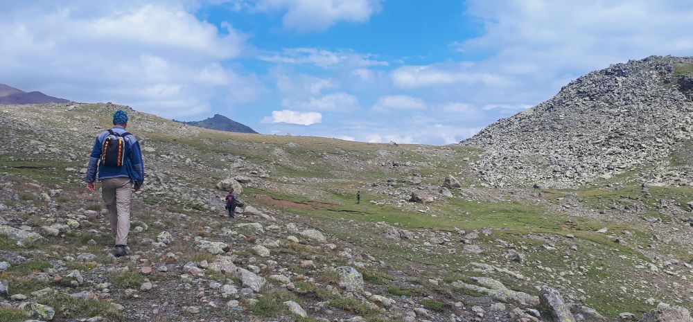
Last meters to the Arsha pass
To reach them, there are several options. During our visits, we saw two bridges below. We aimed for the one sitting at the "Kazbegi highway", situated beneath Altihut. To reach it, I had to cross a pretty large boulder field, which was fun but could be dangerous if those rocks were wet. So, if you want to go straight to the glacier, you might want to go for a bridge situated a little upstream.
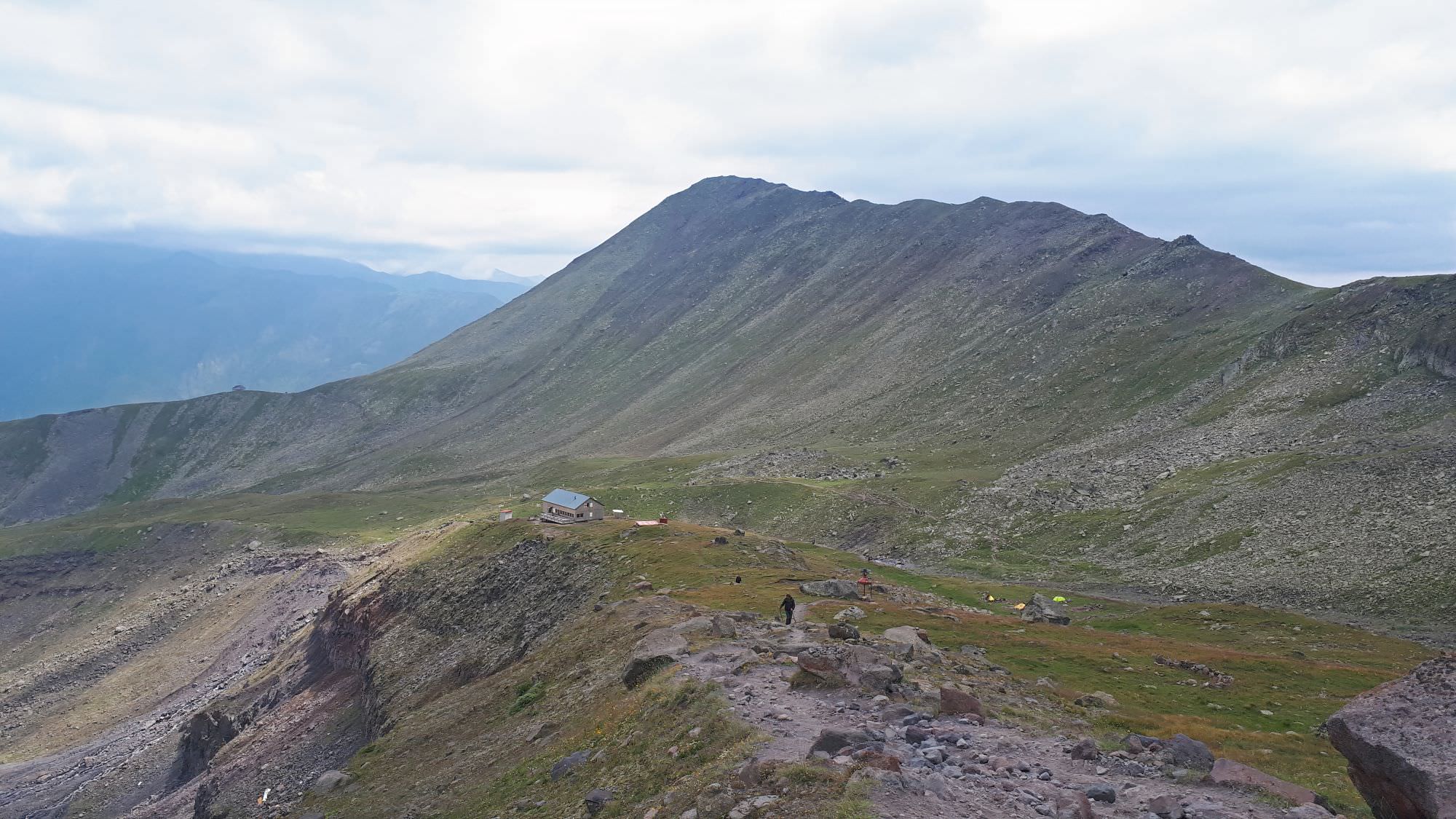
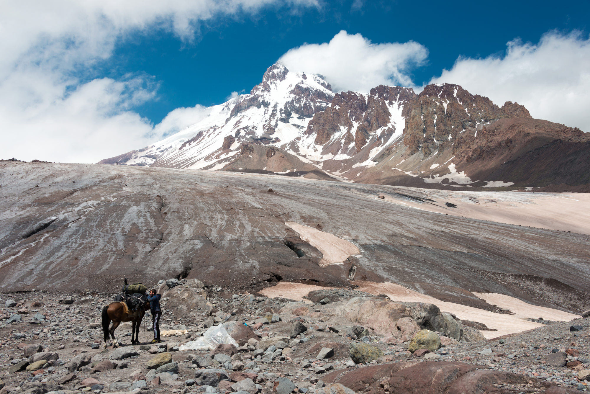
Either way, both routes join a little beyond Altihut at the Sabertse campsite, used by Kazbek climbers who want to acclimatize slowly. From there, the well-trodden trail keeps climbing, passing some shack and climbing or snaking between numerous piles of debris, formed in the moraine. The trail is marked by numerous stone pyramids, but in the end, splits into several branches, approaching glacier at various spots, but still close to each other.
To get back, I guess you will prefer to return to Stepantsminda, so please follow the trail guide to the corresponding route. And, congratulations - it didn't feel that way, but you overcame a pretty serious distance and altitude difference!
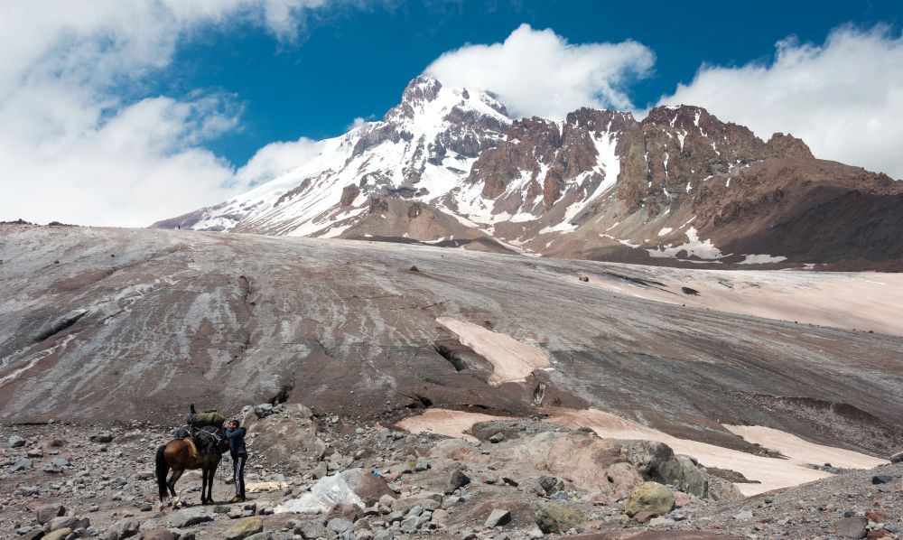
Gergeti glacier