A lovely hike through little-visited parts of southern Tusheti, connecting the valleys of the Khiso Alazani and Oristskali rivers. Along the way, it passes several villages untouched by tourism and crosses a mountain pass at over 2,500m which, despite its modest elevation, offers some pretty nice views.
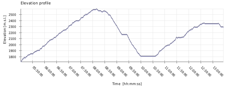
This is a substantial hike that will take you the better part of the day. The time above assumes you are carrying only a daypack.
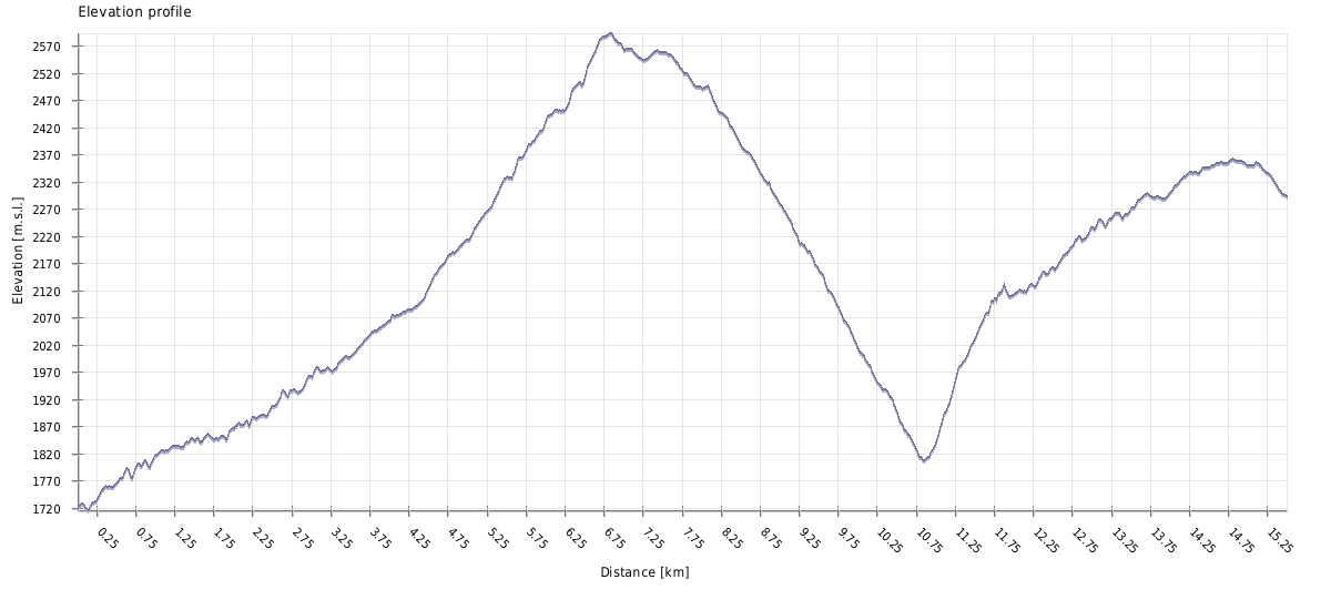
The overall distance is not particularly long, but the total ascent and descent are considerable. You will spend most of the day either climbing or descending.
I don't think the direction matters much on this hike. Either way works well.
This hike is generally doable whenever Tusheti is accessible.
You don't need a tent, as you can stay in guesthouses. Here are their contact details:
However, keep in mind that these guesthouses rarely open before July or stay open far into autumn. If you want to do this hike without camping gear, book your accommodation in advance to make sure they will be open.
To get to Khiso from Omalo, you can hire a driver, but if could cost 200 GEL or even more. If you want to start your Tusheti trip with this hike, you can also ask your driver bringing you from the lowlands to drop you at the Khiso bridge, from which you can walk in some 45 minutes to Shtrolta, which has several guesthouses.
If you want to include this hike into a longer loop around Tusheti, from Omalo, you can climb to Oreti lake and then simply descent not to Kumelaurta, but to Khiso on the way back
There is a new road to Goglurta, so the village is now accessible also by a car - the ride from Omalo will cost at least 250 GEL. But you will most probably continue further on foot - in such case, the most popular route heads towards Jvarboseli.
There is also trail heading north, over the valley to Dochu, but I am not a big fan of this route since there is no bridge and water level of Tushetis Alazani at these places is often too high for a safe crossing.

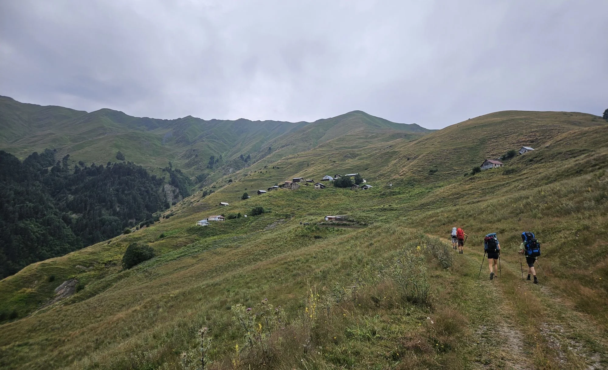
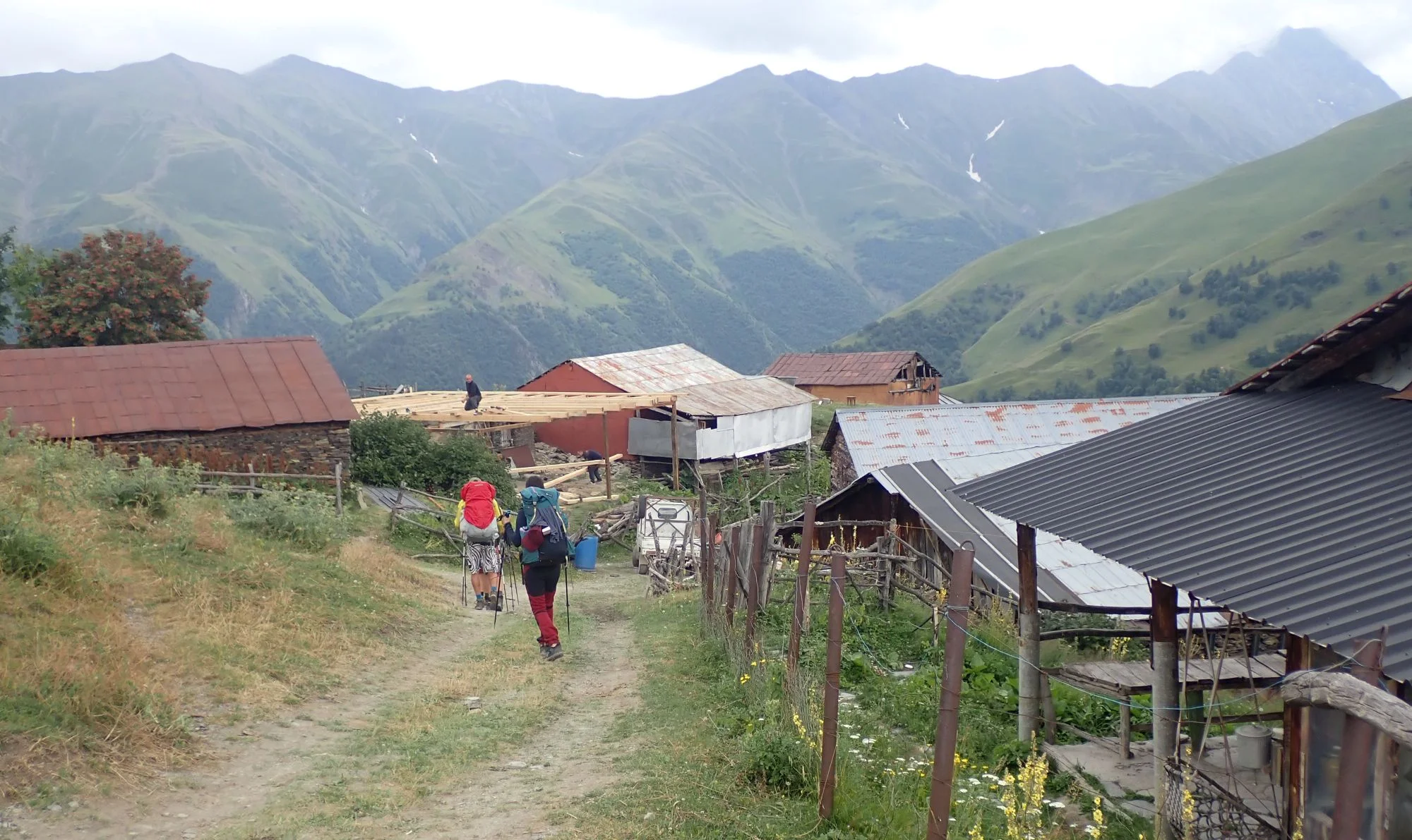
Approaching Jverulta
| Distance | 15.5 km |
| Trail type: | A → B trip |
| Max. elevation: | 2593 m |
| Min. elevation: | 1715 m |
| Total climb: | 1603 m |
| Total descent: | 1027 m |
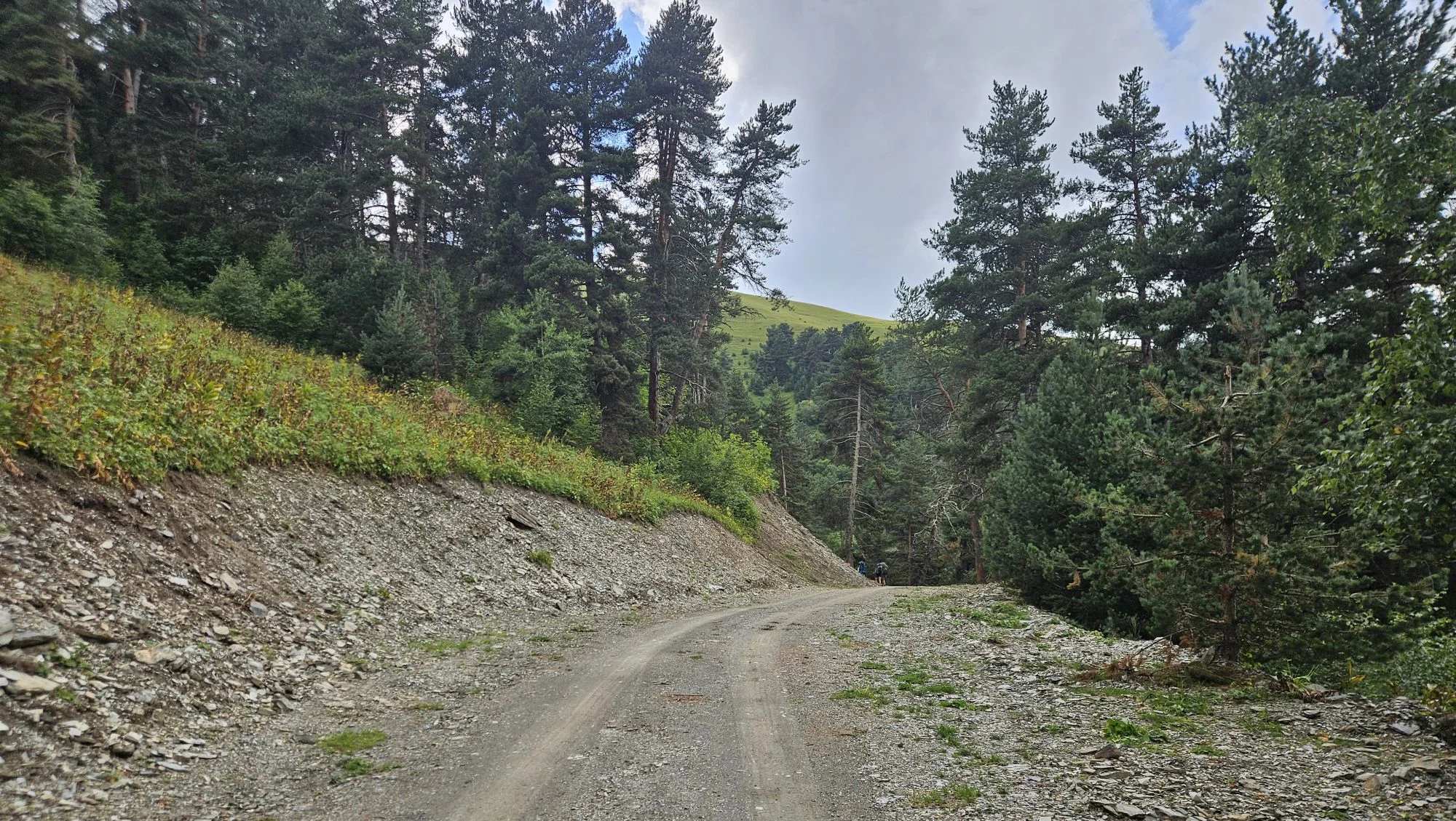
The trail starts at a junction just south of the bridge over the Khiso Alazani River. Here, leave the main road and take the dirt road climbing along the hillside. Follow it through the forest for about 30 minutes. When you emerge, you will see Shtrolta on the hillside above you to the left. This is a place to stay if you are doing a longer loop.
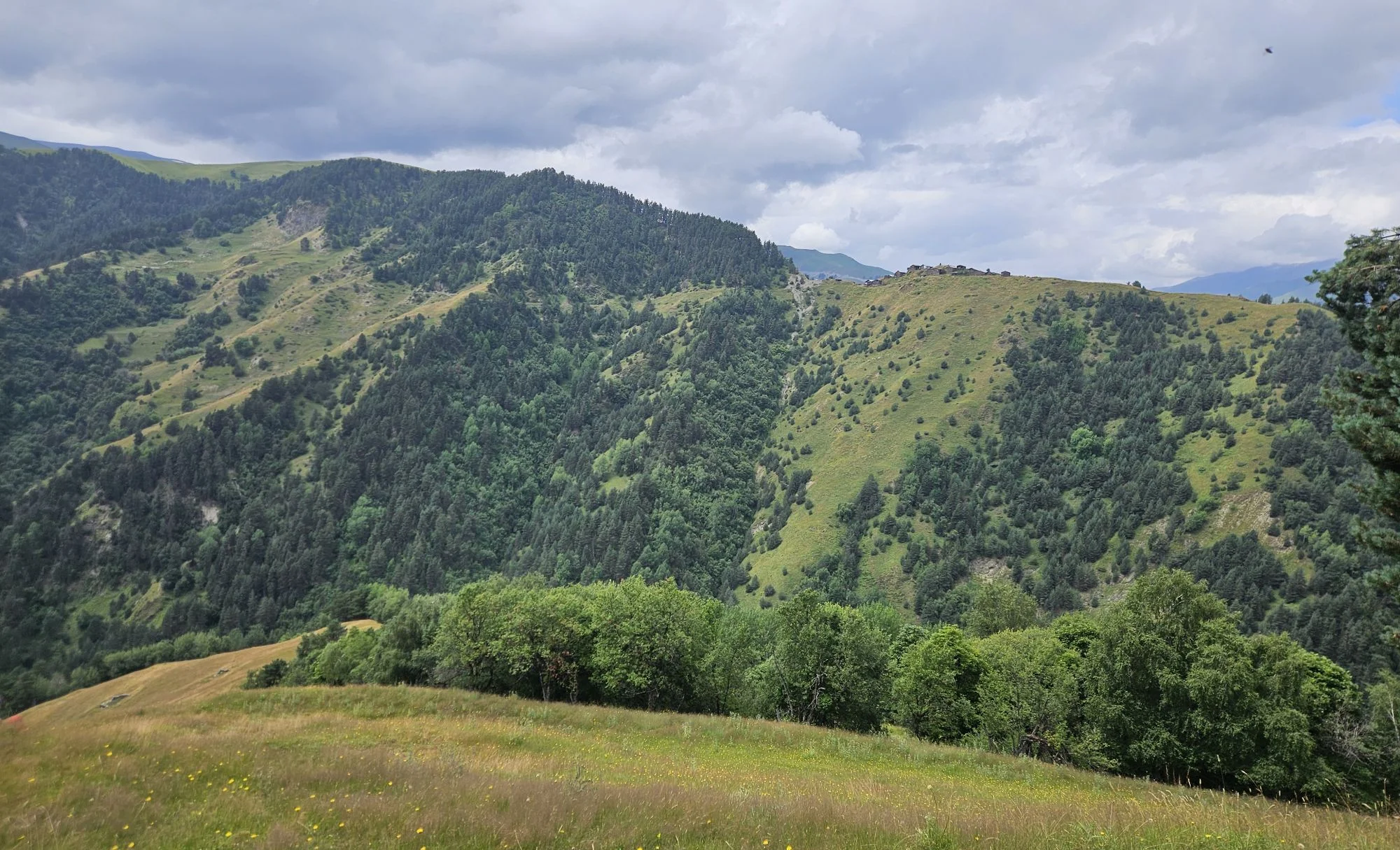
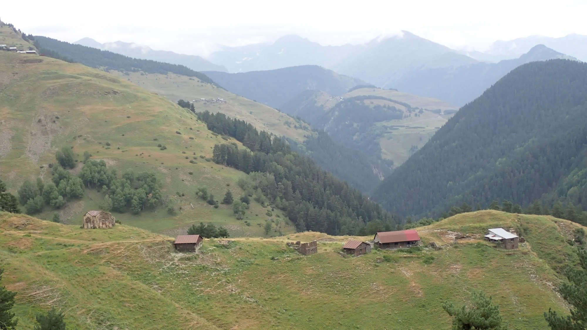
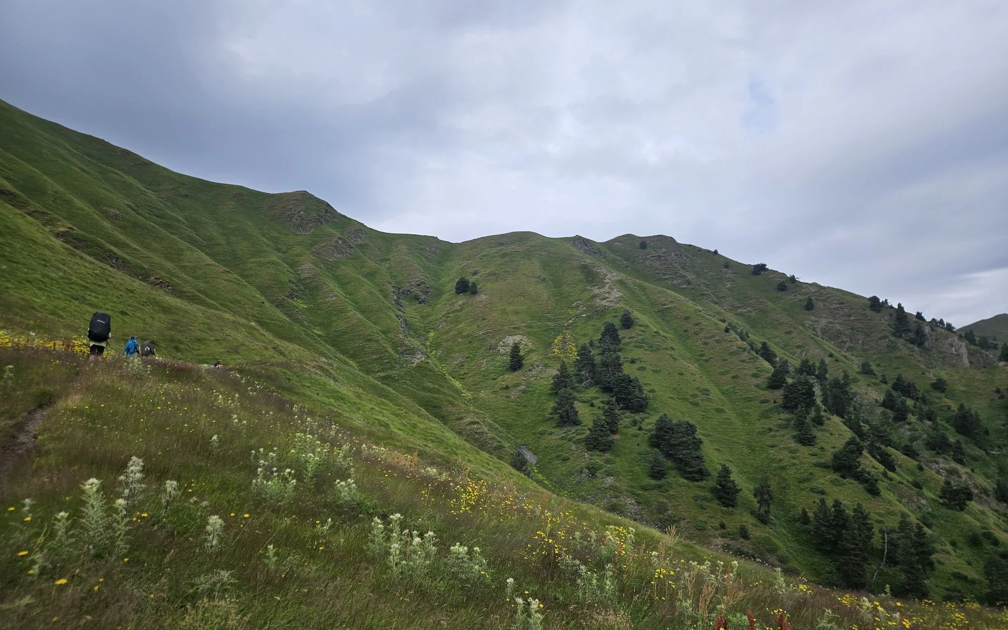
The road then crosses a small valley. Here, you can see Jvelurta ahead and above you, but you can't climb directly to it. Instead, the trail turns sharply right and snakes along the eastern slopes of the Sanarovani Range, slowly gaining altitude. Soon, you will see a small hamlet of no more than five houses to your right. This is Natsikhari. It is best known for its church, one of the few in Tusheti, built in the 19th century at the initiative of the Orthodox Church.

Natsikhari village below
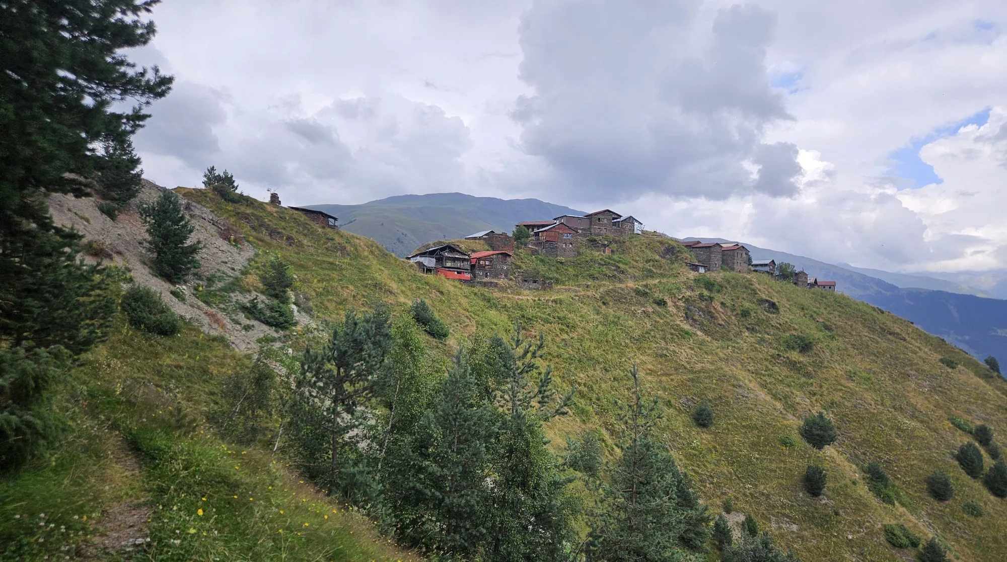
Just 50 metres beyond the junction with the road leading down to Natsikhari on the right, you will reach another turn-off, this time to the left. Take it: this is the road to Jvelurta, at an elevation of 2,100 m. About 15 minutes later, the village will come into view on the hillside ahead. Walk towards it, but turn right at a small junction just before the first houses. After another 200 metres, when you reach the top of a small ridge, turn left again. The trail veers to the left of the ridge and eventually disappears into a tangle of cattle tracks. You will need to climb a little to the right to regain the ridge, or simply ignore the trail and stay on the ridge from the outset.
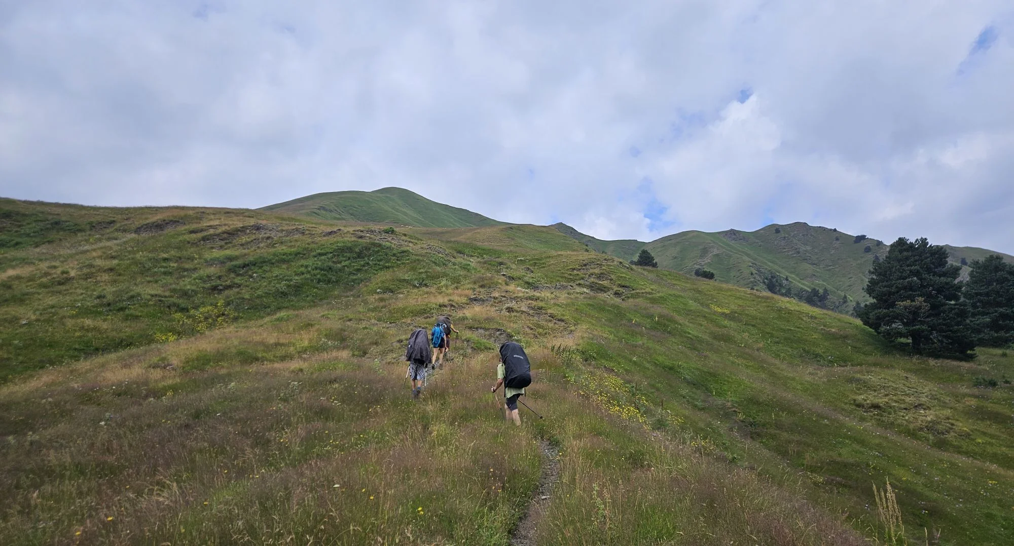
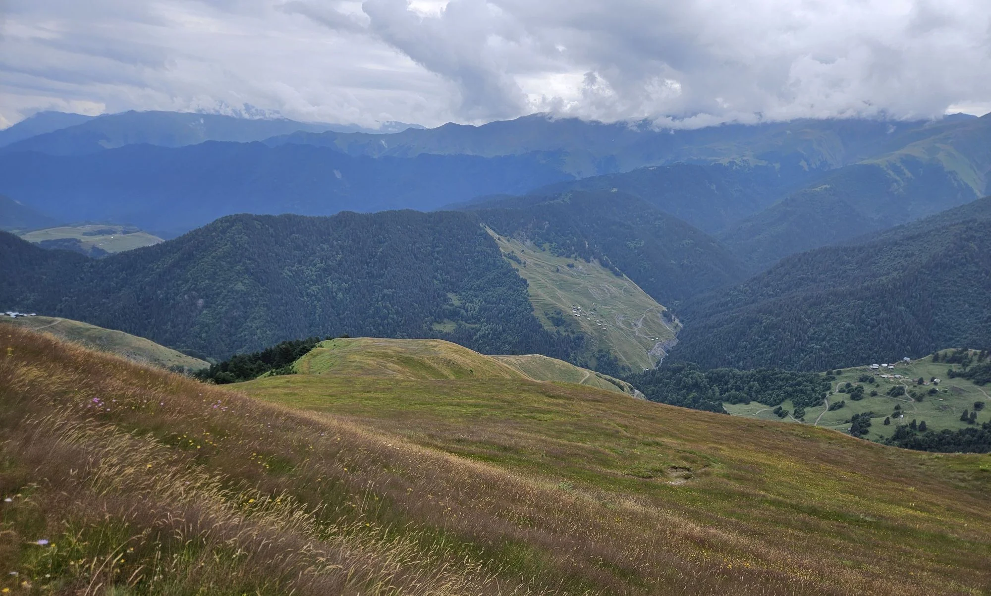
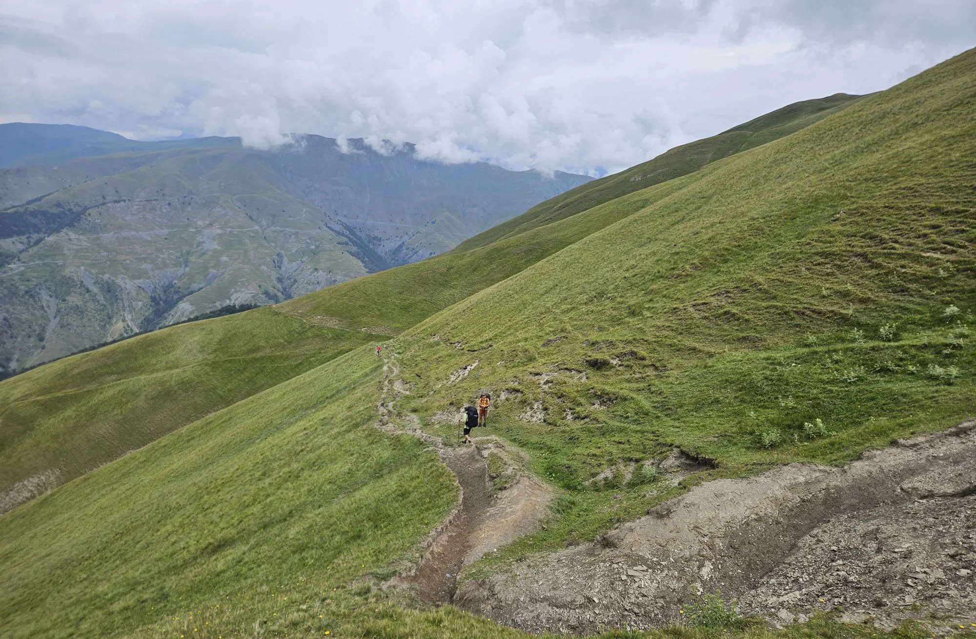
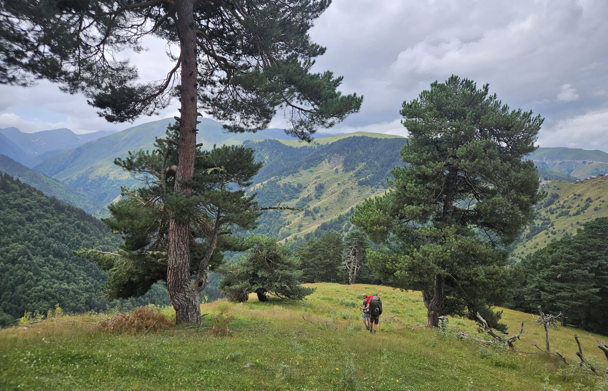
From here, the trail becomes harder to follow, but the direction is clear: climb towards the mountain ridge ahead. Apakurta Pass lies farther to the right. To reach it, you need to gain enough elevation to skirt the upper end of the valley on your right. At around 2,500 m, the trail levels out and begins traversing the hillside to the right, towards the pass. Here, we chose to climb to the ridge a little earlier to avoid a large flock of sheep, but you should be able to reach Apakurta Pass (2,572 m) directly. From the pass, the Oristskali Valley opens up below you, and you can easily spot Gogrulta, and even one of Vestomta's roofs, on the opposite side.

Approaching Apakurta pass
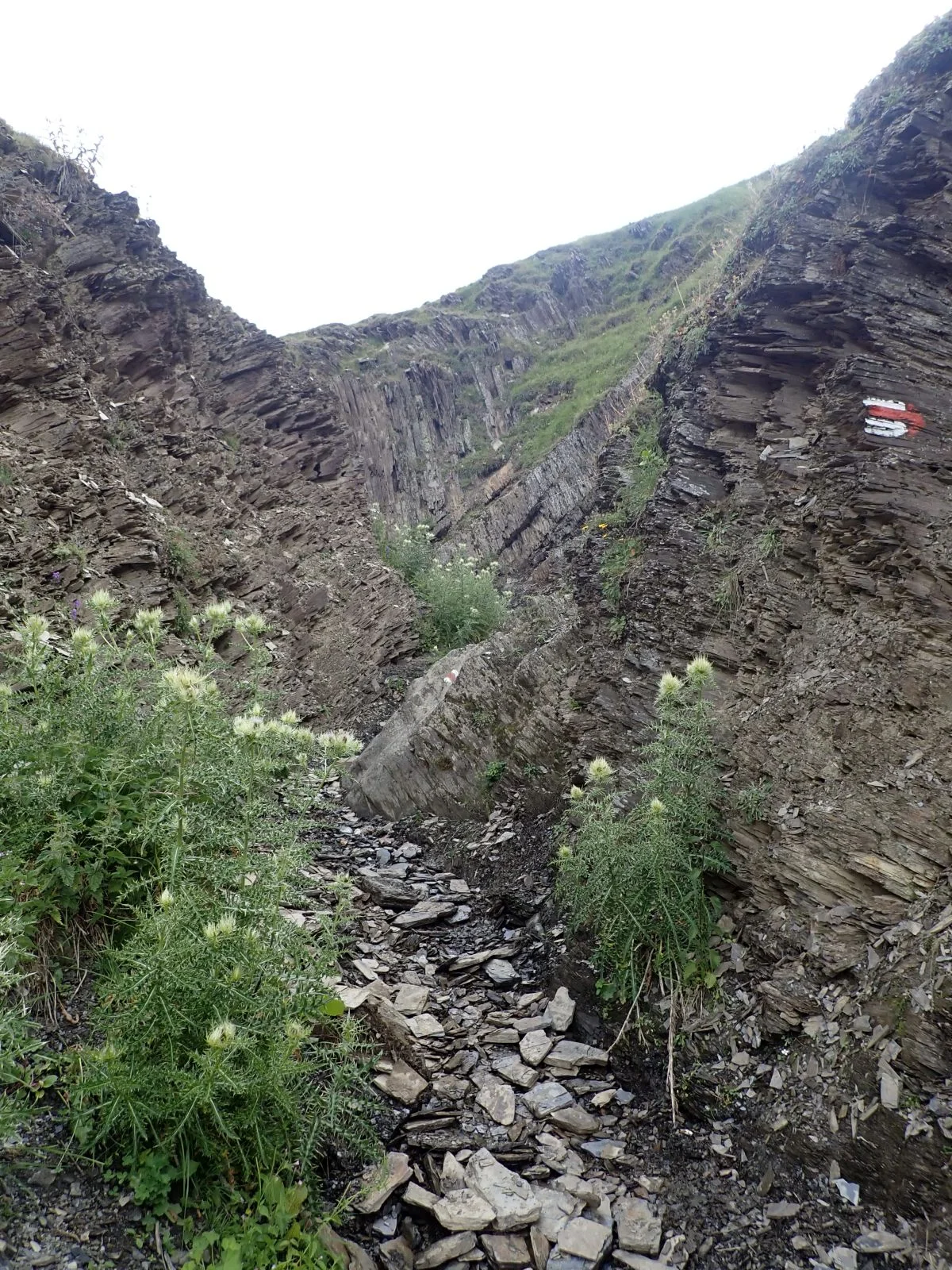
At the pass, you join the established hiking route between Omalo and Gogrulta. The trail becomes clearer, and red markings appear. Follow it for about 500 metres to a spot where it descends through a small gully. Continue for another 200 metres, then look left. In the meadow below, called Apakurta, you should see a pole with a red marking. Here, leave the trail and begin the descent into the Oristskali Valley, losing almost 600 m of elevation.
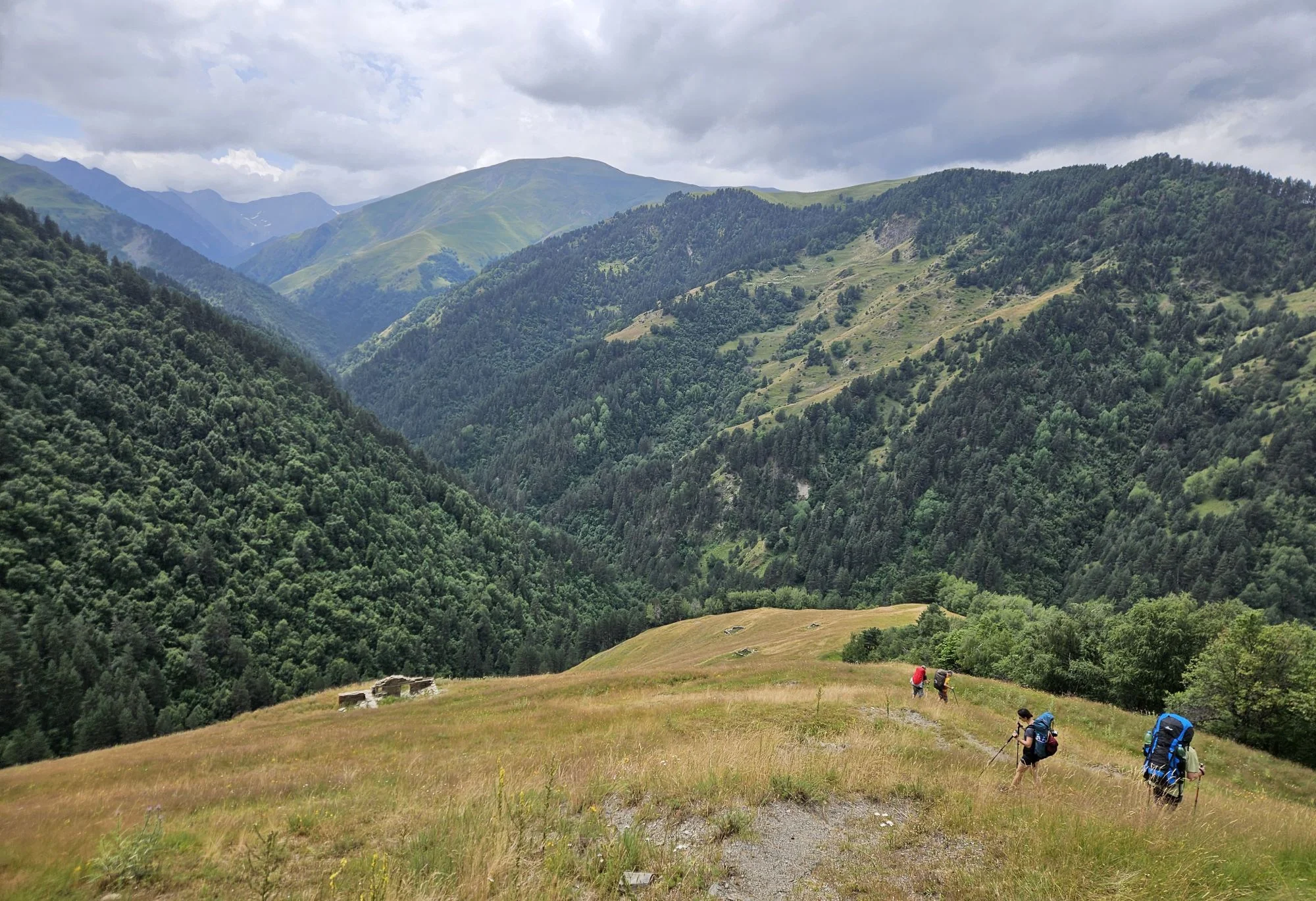
The descent is steep but straightforward. Most of the time, you follow the edge of a pine and beech forest, only occasionally venturing into it. Keep an eye out for the markings. As you descend from one, you should soon spot the next.
At around 2,000 m, you will see several ruins in the meadow below. These are the remains of Gogrulta's winter homes (Gogrulta boslebi/Lashkaraulta). In winter, when everything was covered in snow and there was no risk of raids, the Tush people moved into these more comfortable, unfortified homes.

Ruins of winter homes of Gogrulta
Past the ruins, the trail follows the edge of the forest and begins its final descent to the Oristskali River. The river is not difficult to cross under normal conditions. On the other side, it is time to start climbing again. To reach Gogrulta, you need to gain almost 300 m of elevation. The terrain is quite steep, but luckily the trail is in very good condition. After gaining the first 250 m, you will join a decent but little-used trail connecting Gogrulta with Sachigovlo. From here, the village is visible nearby, and you should reach it in about 10 minutes.
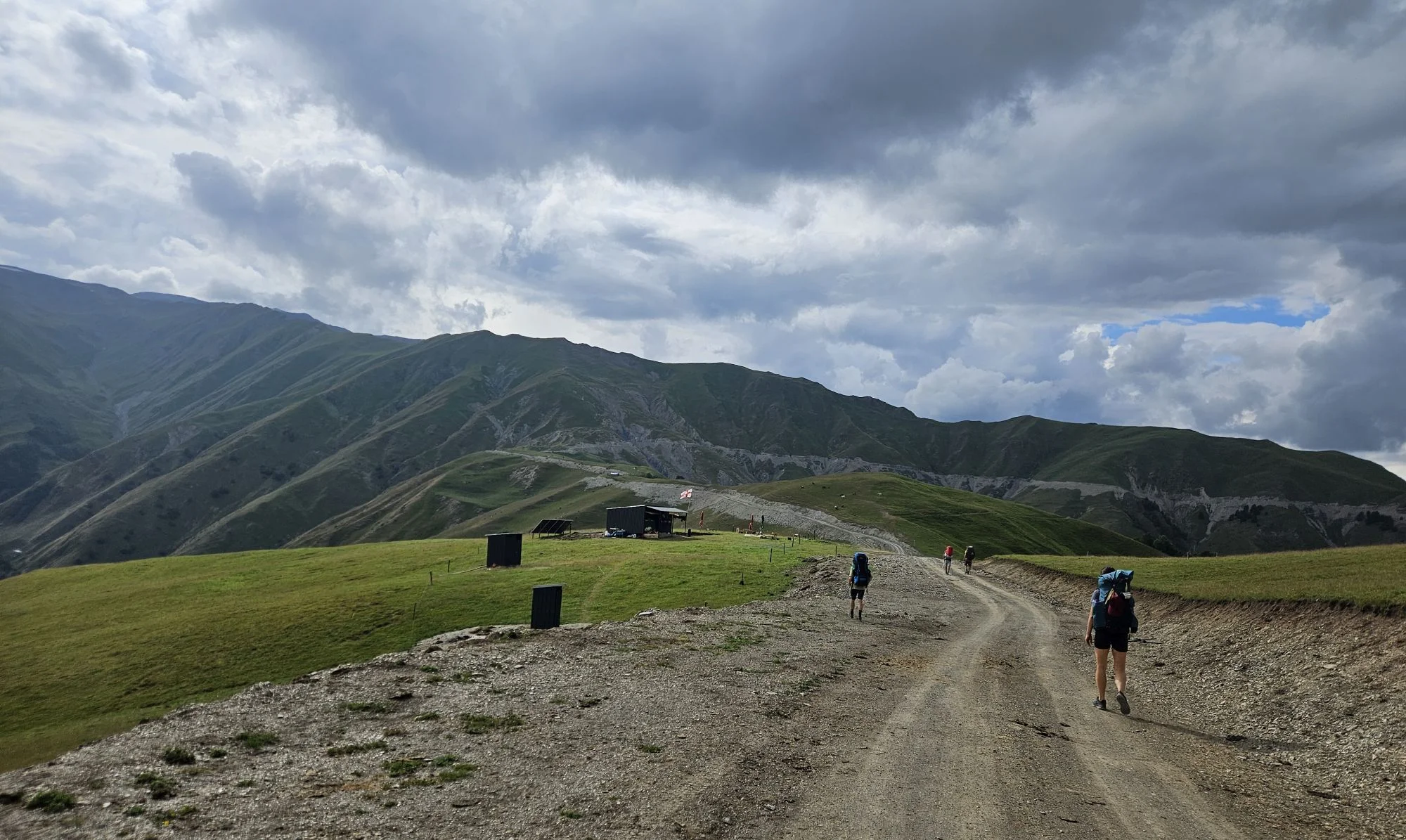
If you would like to continue to Vestomta, you have two options, both taking about an hour. The first is the newly built road: a longer and less interesting option, but also a more pleasant walk. The other is the old trail, which is harder to find because its starting point was damaged during road construction. The trail itself is wide and in good condition, but it runs closer to Mt Kitemta, so it involves more climbing. That may not appeal to you at the end of an already demanding day. Either way, at the very end of the trail, right above Vestomta, stodd in 2026 a new snack stand. No idea how profitable it is, but maybe they will open it also on the next year :)

A snack stand above Vestomta