An alternative, little-visited route connecting Tusheti with Khevsureti.
Slender daughter of Shatili,
I have chosen you,
and will take you from Shatili to Tusheti
on a horse, flying over giant rocks.
I will hold you on the top of Borbalo mountain,
and protect from the rain with a shepherd's cloak.
Wash your eyes with morning dew,
and dress you in a dress made from dandelions.
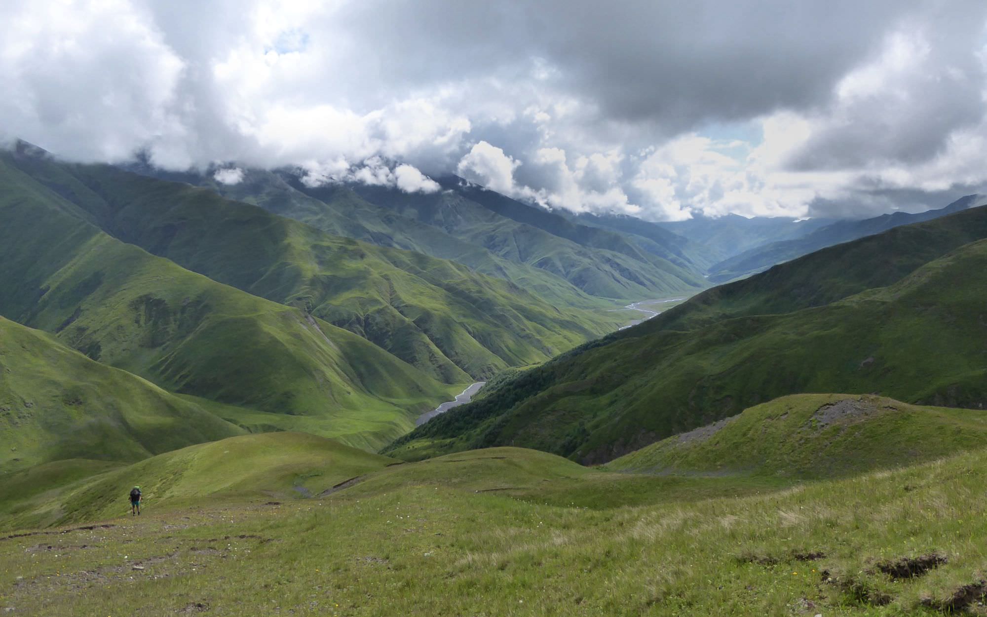
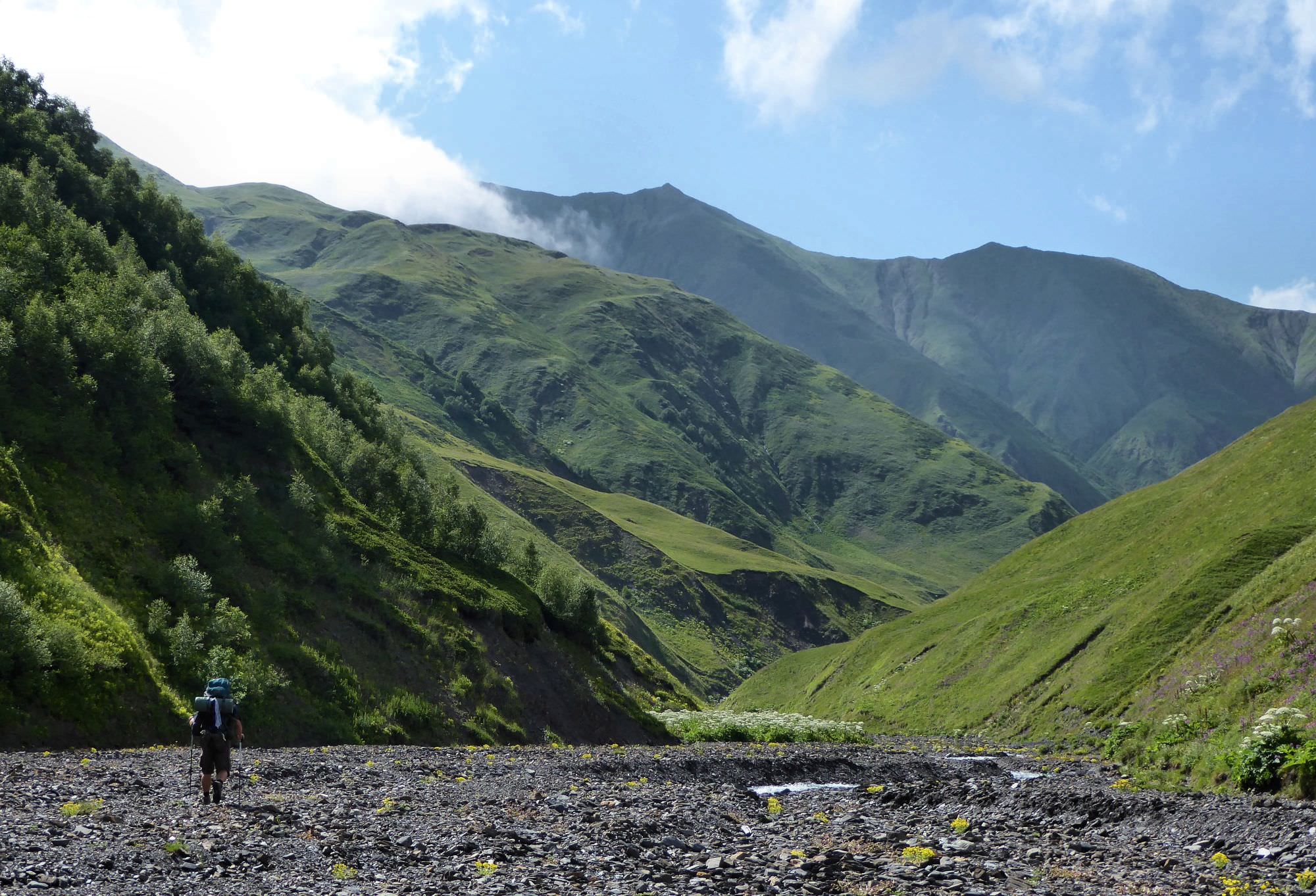
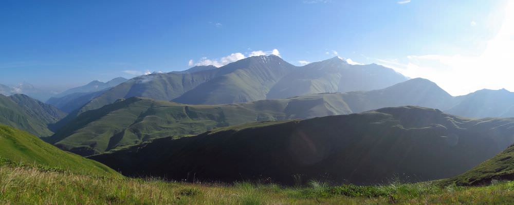
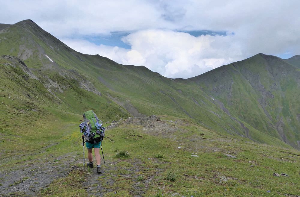
The crossing of Borbalo pass is the ideal pick for hikers who want to cross from Tusheti to Khevsureti and look for something more difficult and remote than Atsunta trail.
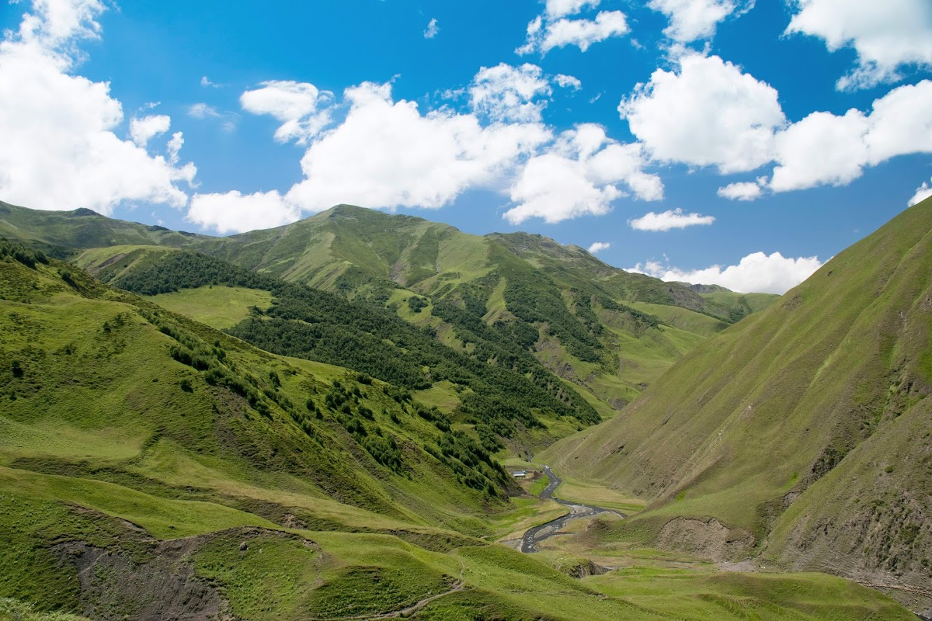
Trek follows the valley of Tushetis Alazani, then climbs onto the ridge and heads northwest, towards Datvisjvari pass.
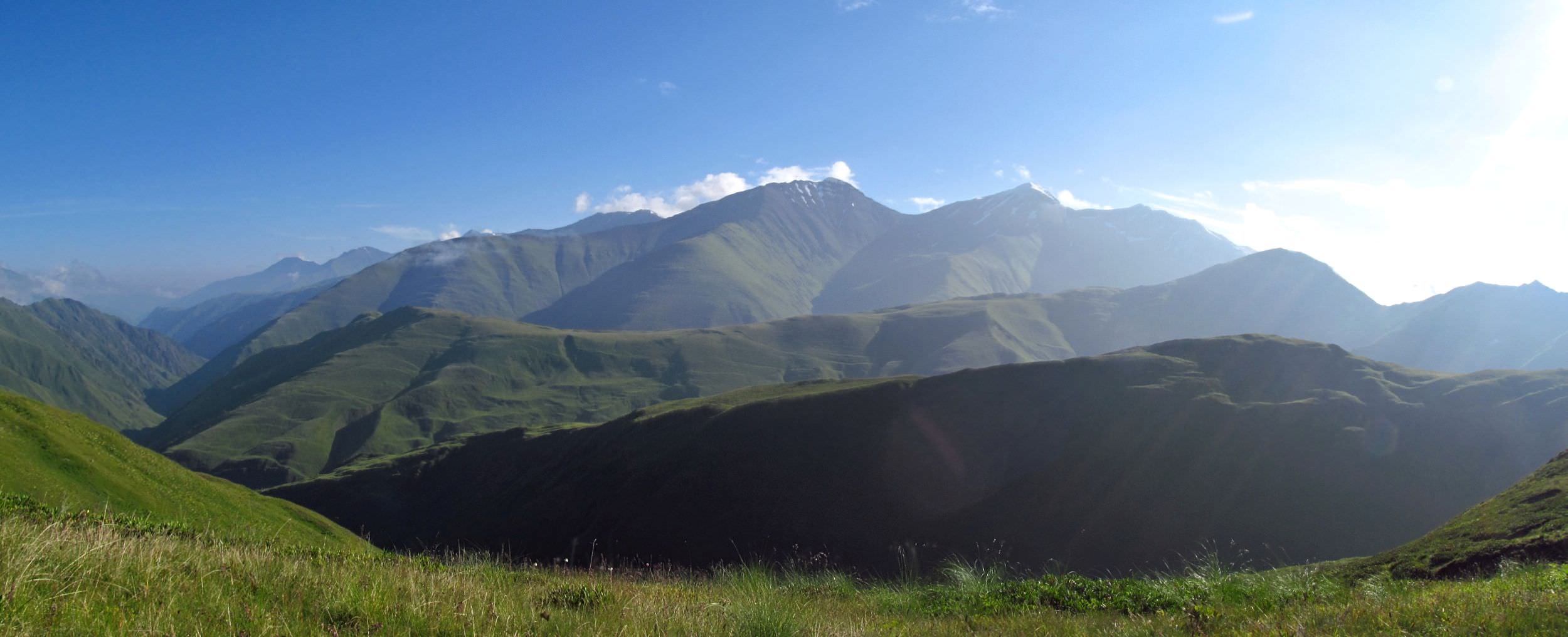
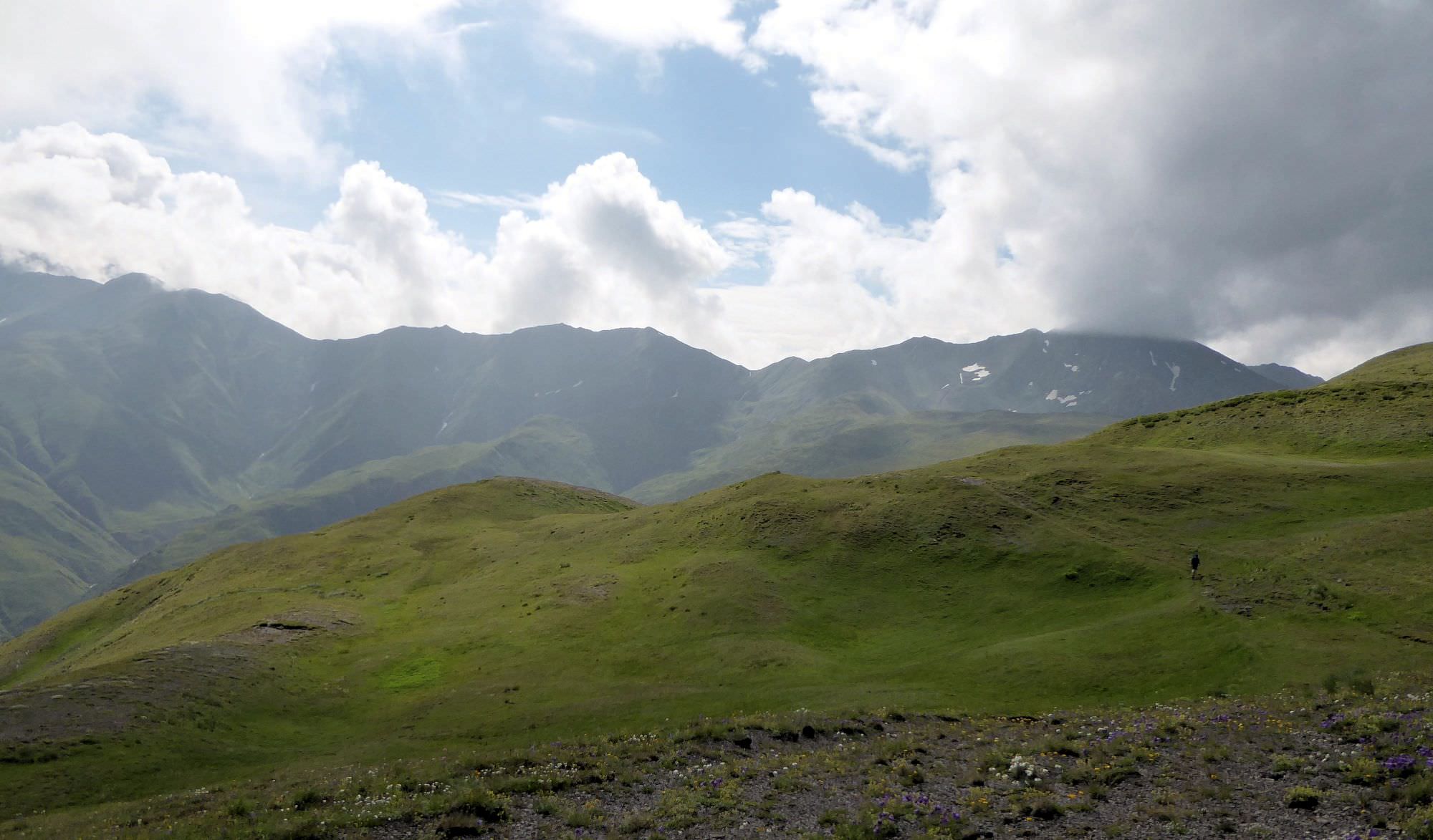
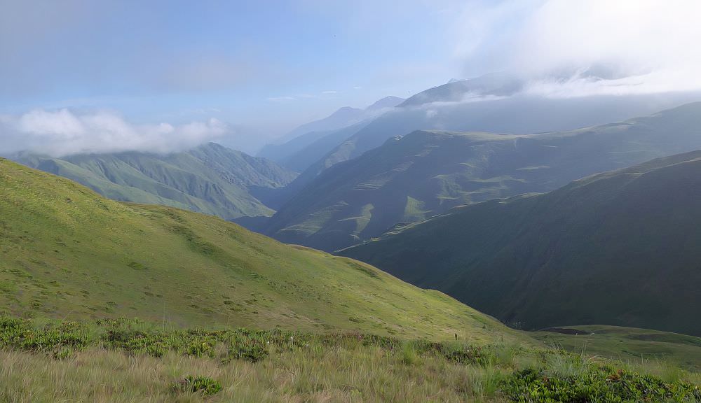
This trek is also quite unique as for almost two days, you will walk right at the top of the main ridge of Greater Caucasus at the elevation of about 3000m.
Also, it´s very little visited - in four days after our departure from Verkhovani, we haven´t met a single tourist.
If you want to include also Shatili, Roshka or Arkhoti gorge, the trek can be easily prolonged to seven days or more.
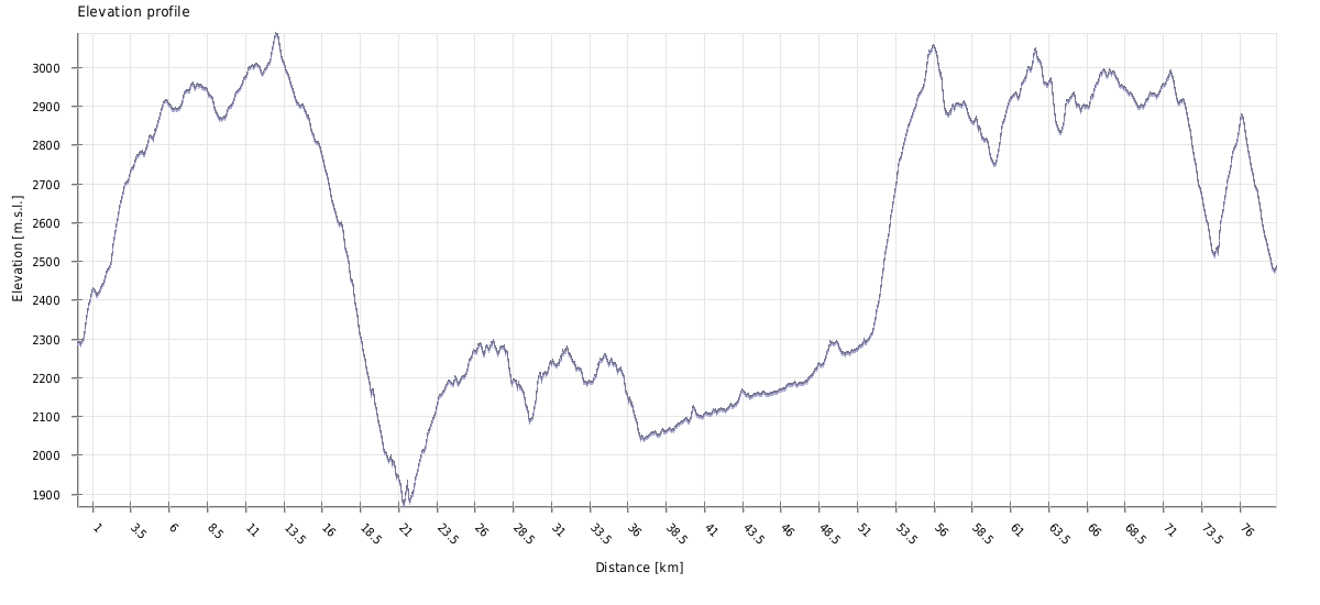
Trek is 78 km long, remote and also quite difficult.
You will need a tent.
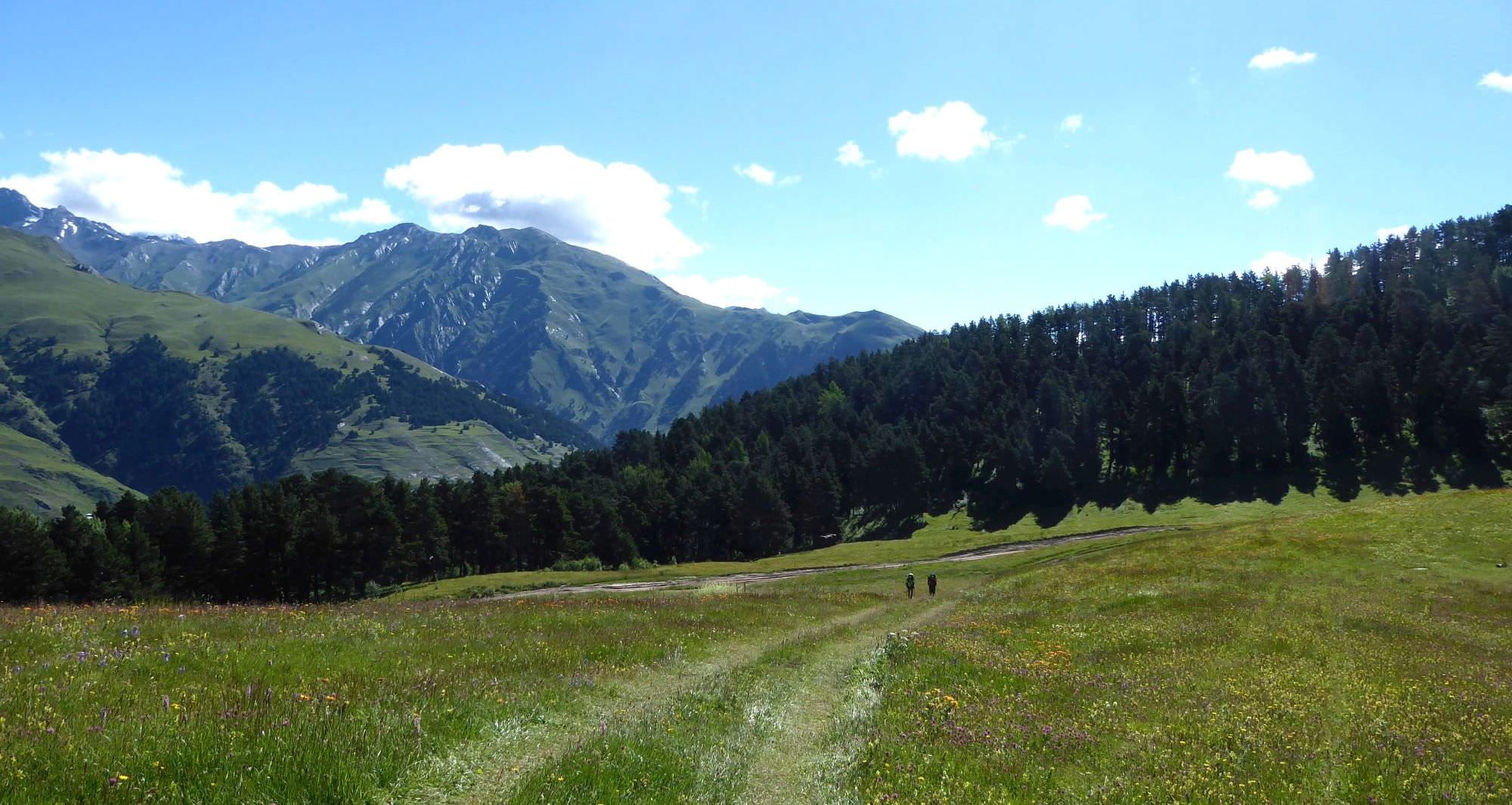
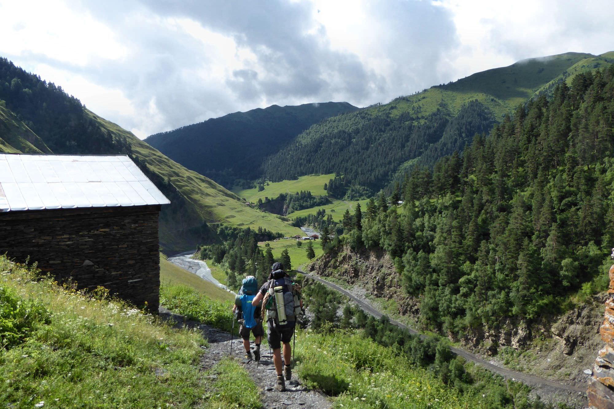
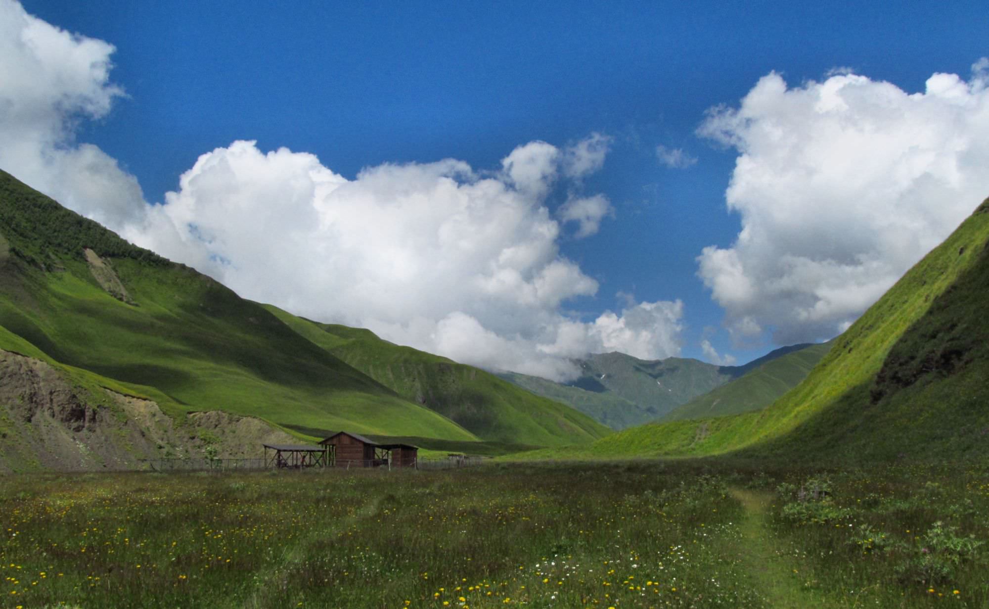
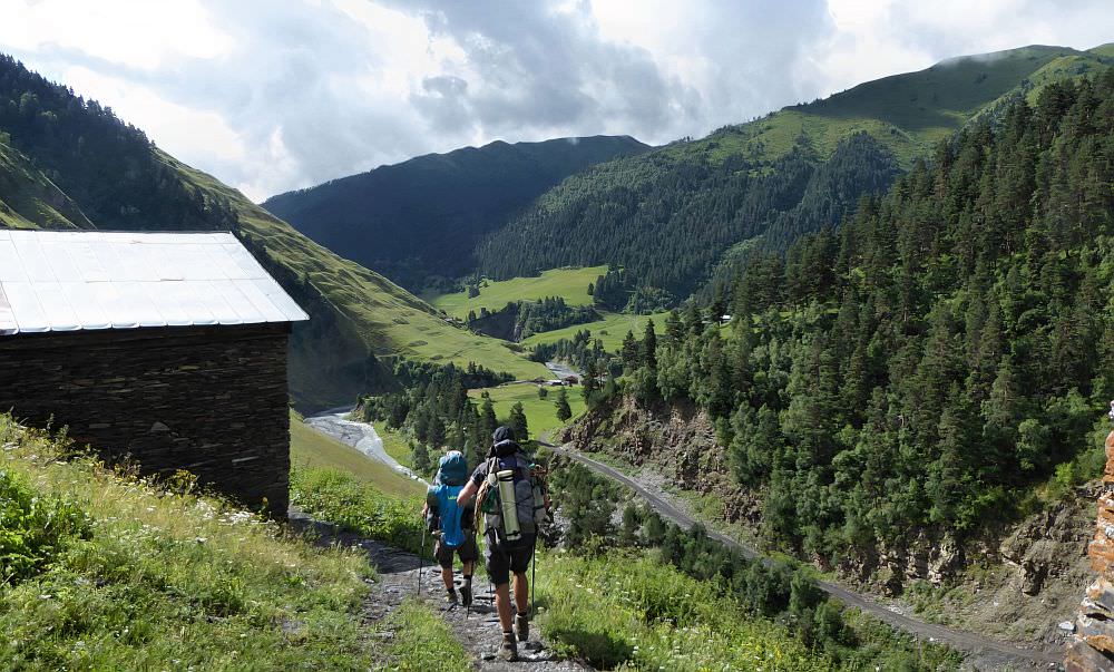
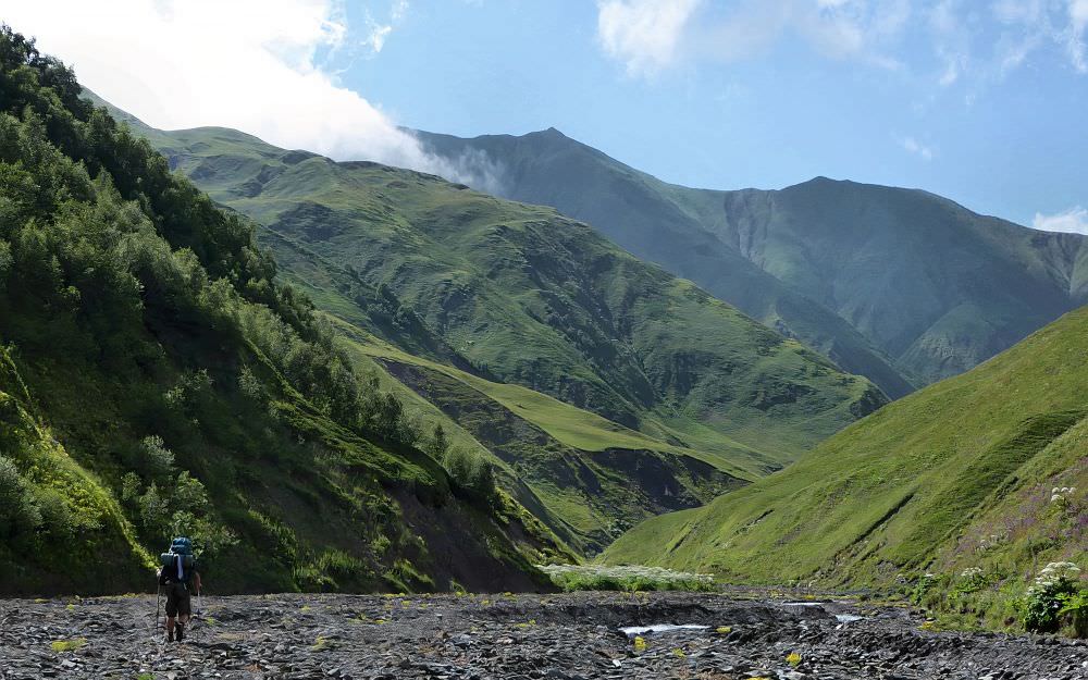
Ghele is the meadow about 8km behind Omalo, at the place where the car road to Dartlo reaches a small pass and starts descending into Pirikiti Alazani valley (not all drivers will know it by name).
It´s possible to get here on foot (the route follows standard Omalo - Shatili trail and the distance is about 5 km if you take the shortcut through the forest), but if you want to traverse Pirikita range on the same day, it´s more convenient to hire a driver. Drive from Omalo to Ghele could cost about 60-70 GEL.
Trail recorded in GPS log ends at the road to Shatili, a bit below Datvisjvari pass.
Leaving this place is quite tricky as there is no public transport or immediate possibility to hire a car. You will have to walk, hitchhike or call a driver by phone.
If you want to make it to Shatili and have enough time - there is an interesting alternative. Don´t follow the trail all the way to Datvisjvari pass,
instead, in Chanchakistskali valley switch to the trail heading to Khakhabo and Mutso. This way, the trek from Omalo to Shatili takes about 7 days.
Major part of this route follows the 3000 meter high mountain ridge, so I don't recommend trying it earlier than in very late June or in July. Trail then gets covered in snow sometimes around mid October
One thing that needs to be kept in mind is than on this route, you need to plan around water - apart from one small lake, there are no sources on the top of the ridge (and it's cumbersome to descent into valleys to get it). One can collect it from snowfields, but they disappear in late summer - therefore, taking everything into account, the best month for this trek might be July.
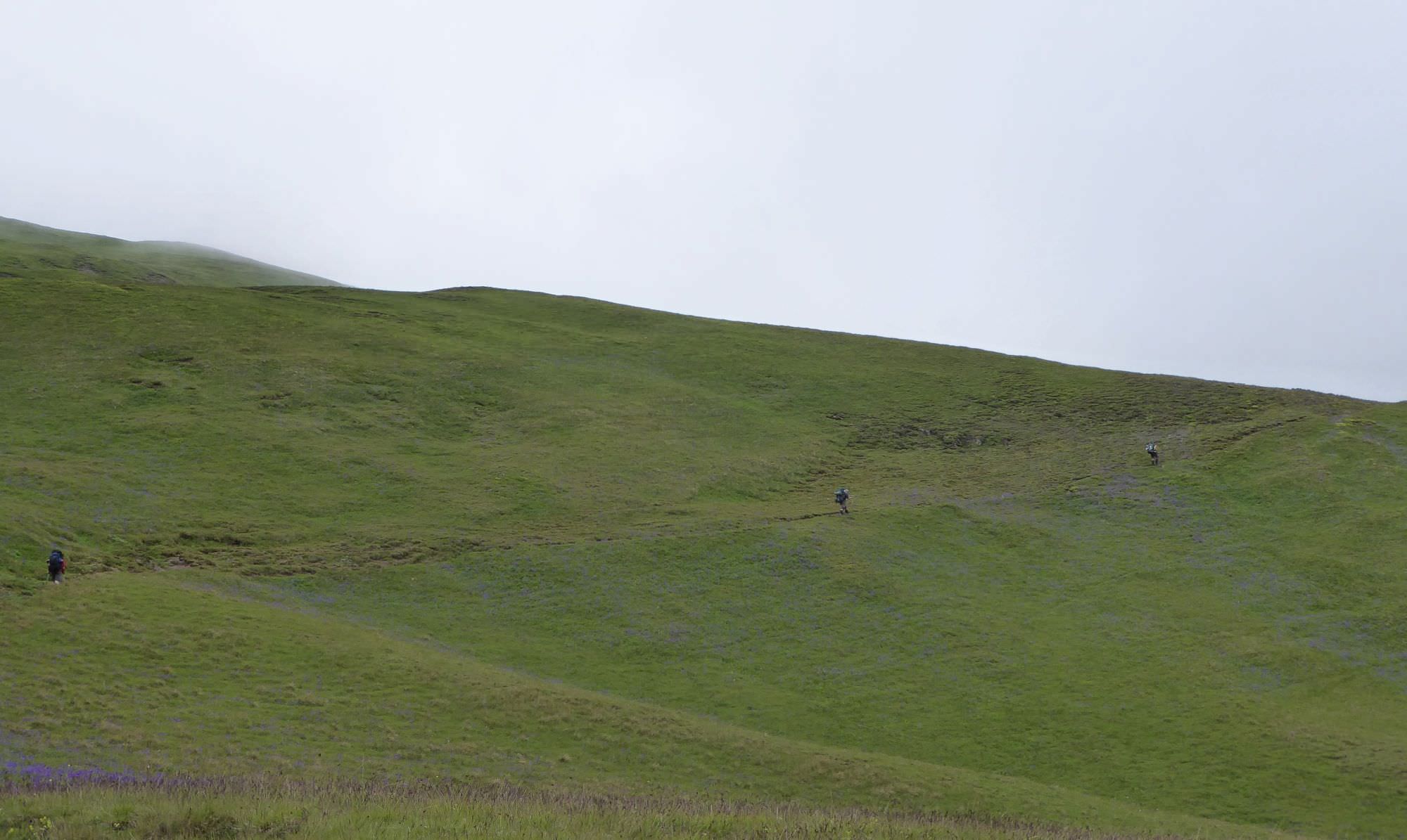
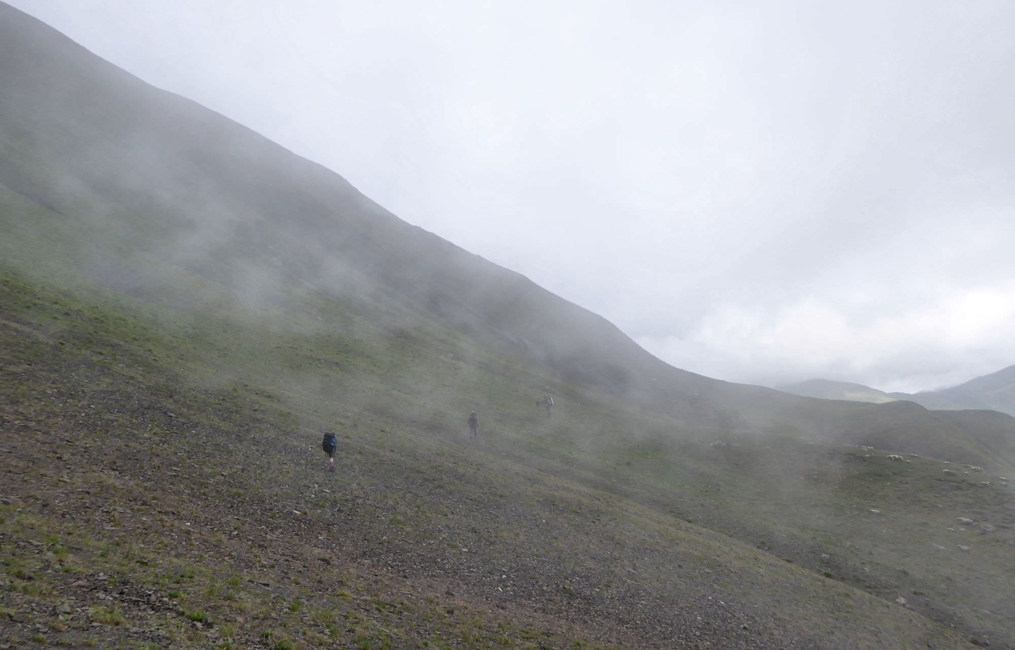
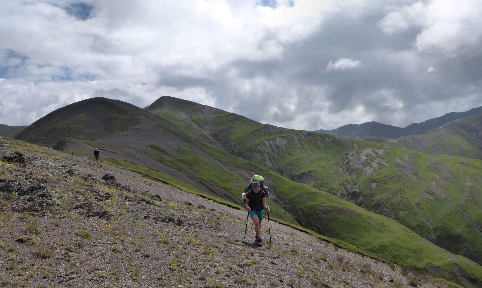
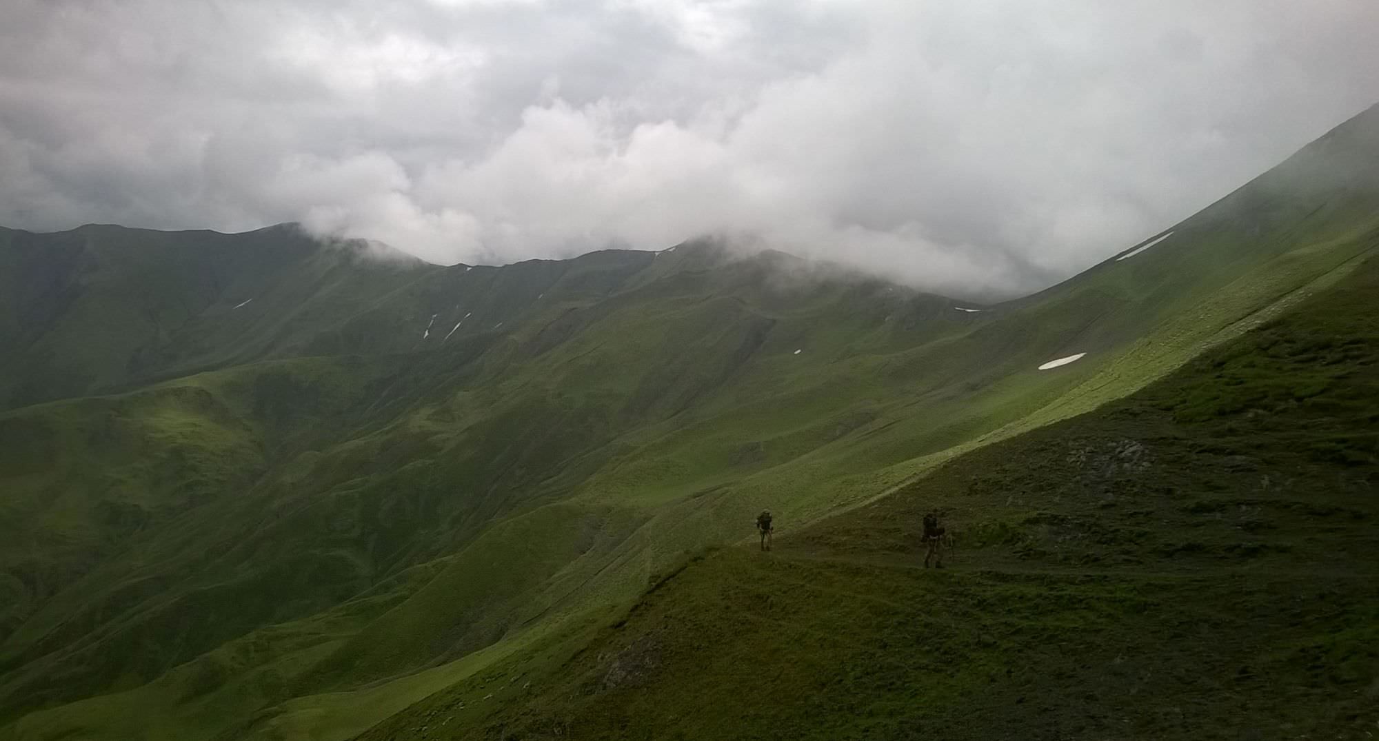
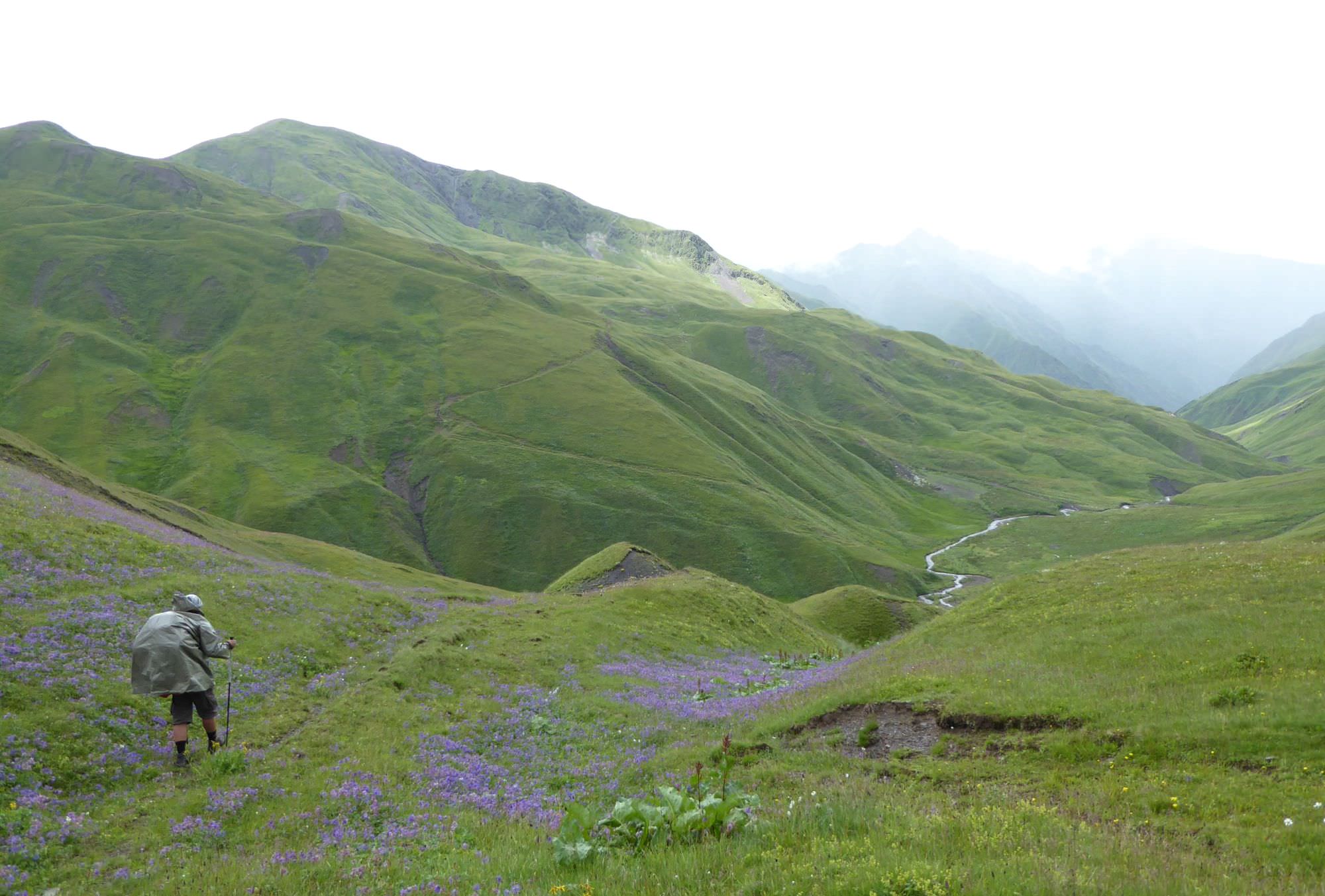
See that dot deep below? That's Ondrej. Ondrej ran out of water and has to go to the bottom of the valley. Don't be like Ondrej
| Distance | 78,4 km |
| Trail type: | AB trip |
| Max. elevation: | 3087m |
| Min. elevation: | 1868m |
| Total climb: | 4372m |
| Total descent: | 4178m |
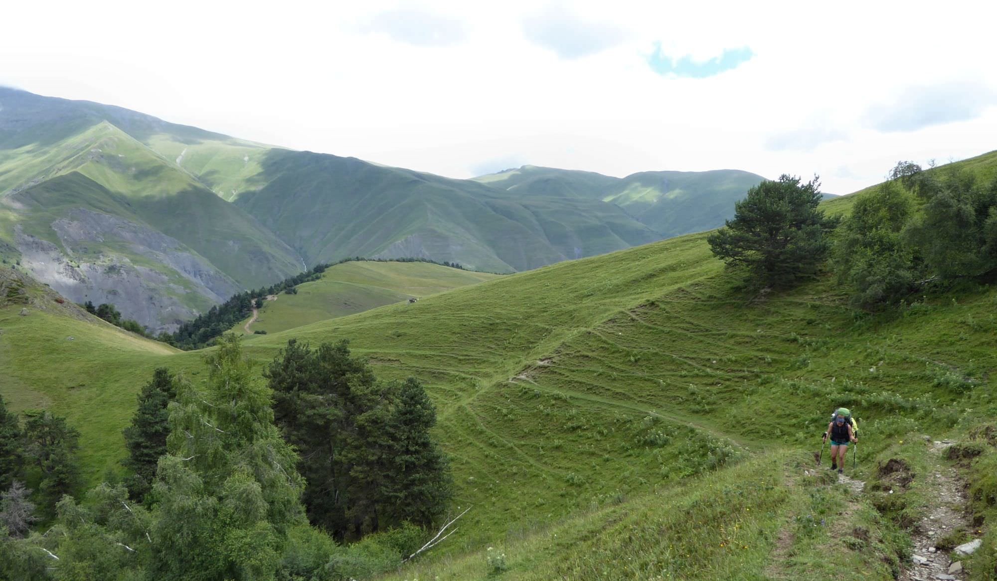
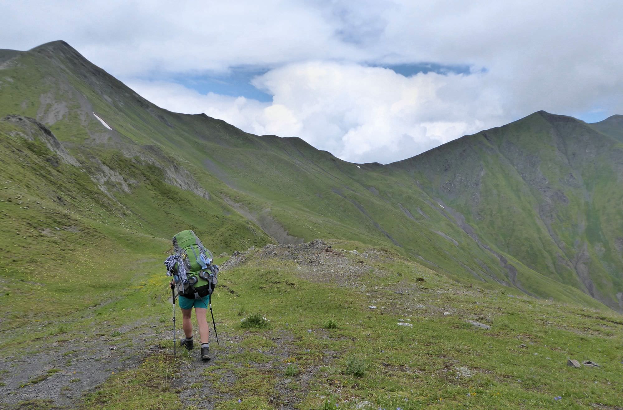
The trail starts on the Ghele meadow. This meadow is the place bordering three main gorges of Tusheti and so, in the past, it was the place where the elders of local communities met and discussed local issues. If you are coming from Omalo, turn left from the main road, onto the smaller dirt road going uphill. Climb onto the small elevation, where the road disappears. As you can see now, main ridge here bends to the north. So does the trail, so prepare for a short, but steep climb.
Luckily, the footpath is still visible. As a bonus, this section of the trail is marked by “2 white stripes” marking (colored stripe in the middle will be added once they agree upon its color).
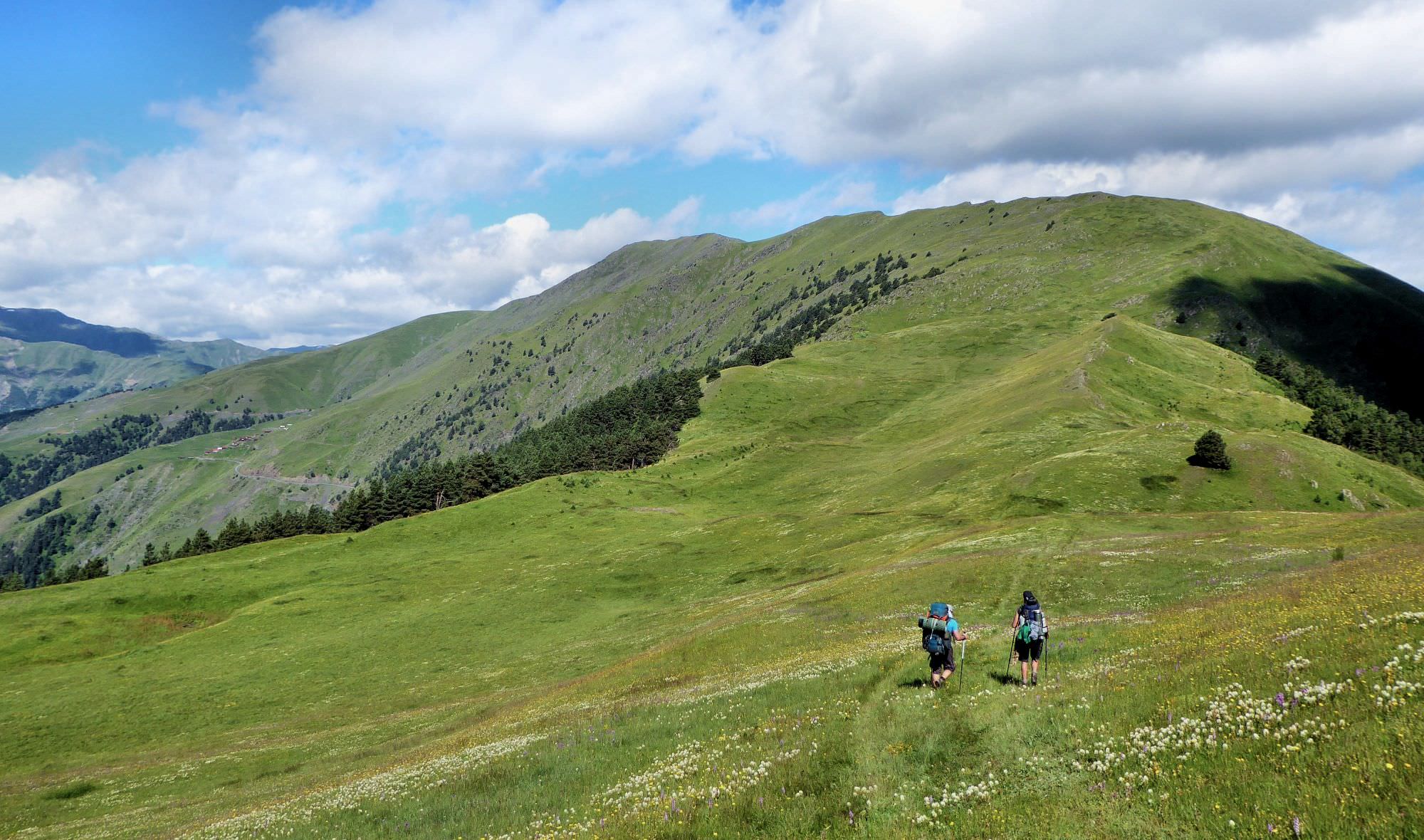
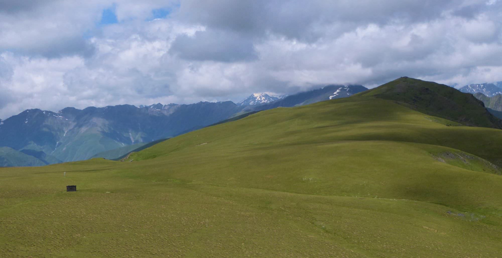
After climbing some 200 elevation meters, you should make it to the top of the ridge. Walk here becomes much more pleasant. It alternately leads on both sides of the ridge, close to the top and provides splendid views of both river valleys. Finally, it circumvents the Sakkhevi mountain from the right side and emerges onto a small, rocky viewpoint.
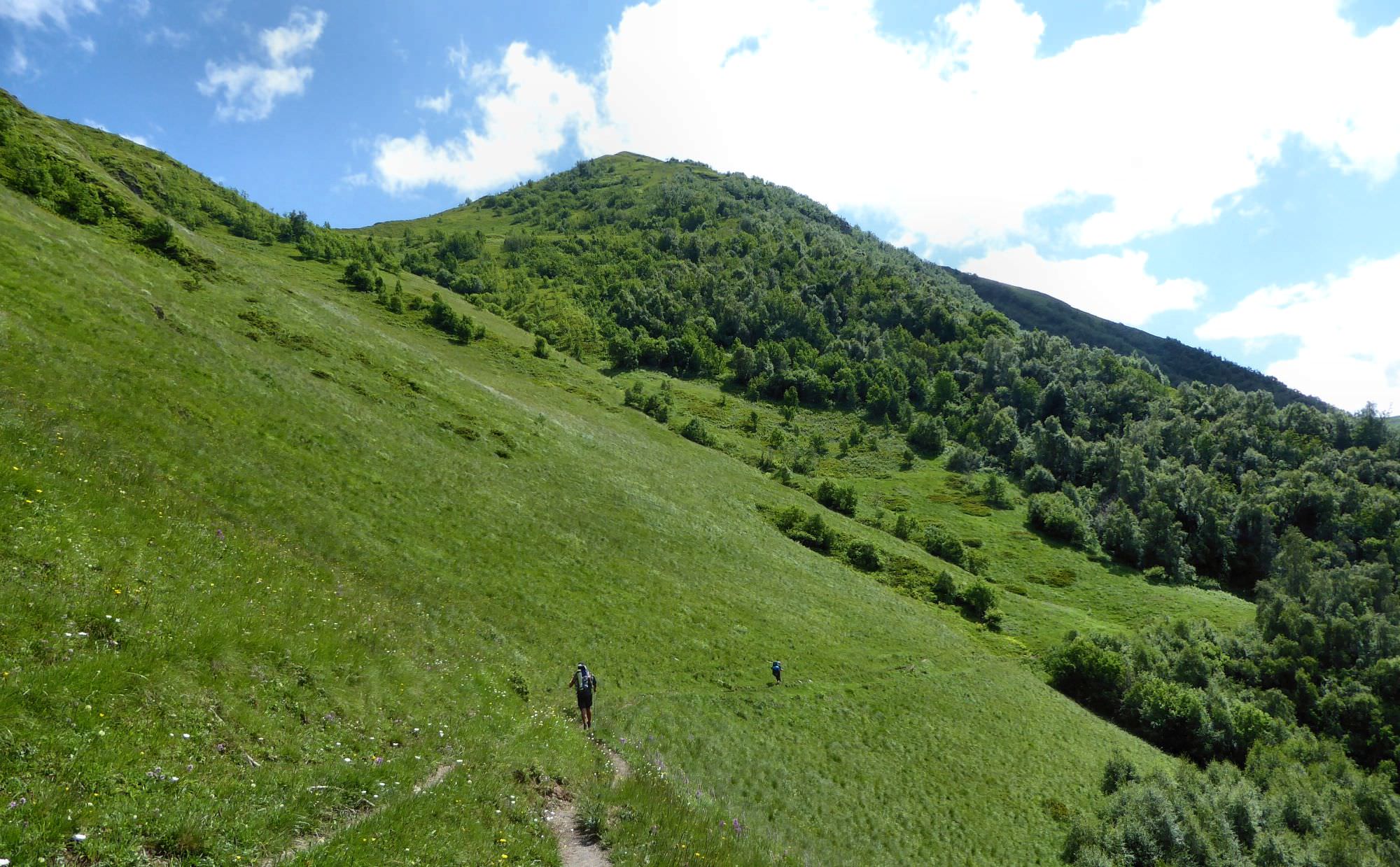
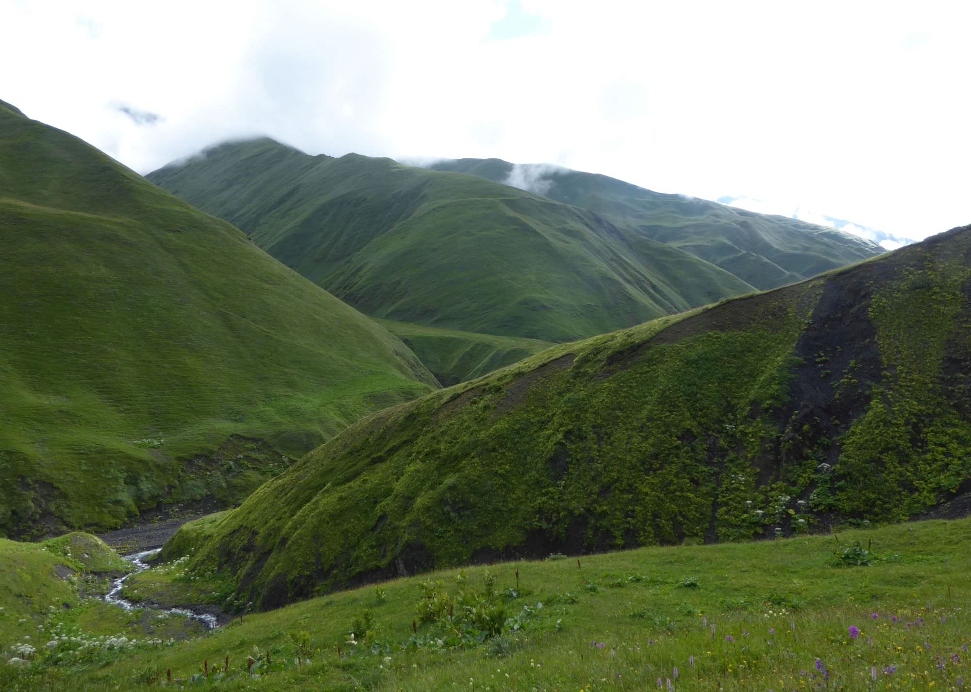
Here, the rocky ridge of Pirikita range turns into a wide flat meadow
Here, the character of the terrain changes drastically - rocky mountain range is replaced by wide flat meadows, used for grazing. That also means that the trail disappears again (as well as the marked trail, which turns left to Dochu village), but Pitsilanta hill, your next destination, is right ahead of you. Walk towards it through the meadows, past the ruined shelter. You don´t even need to climb it, remains of the old road can be found to the left of the actual hill.
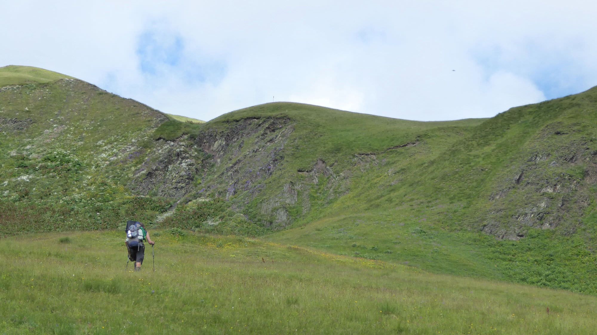
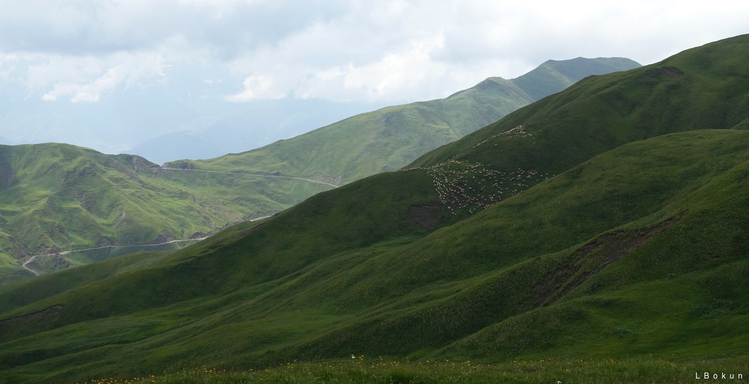
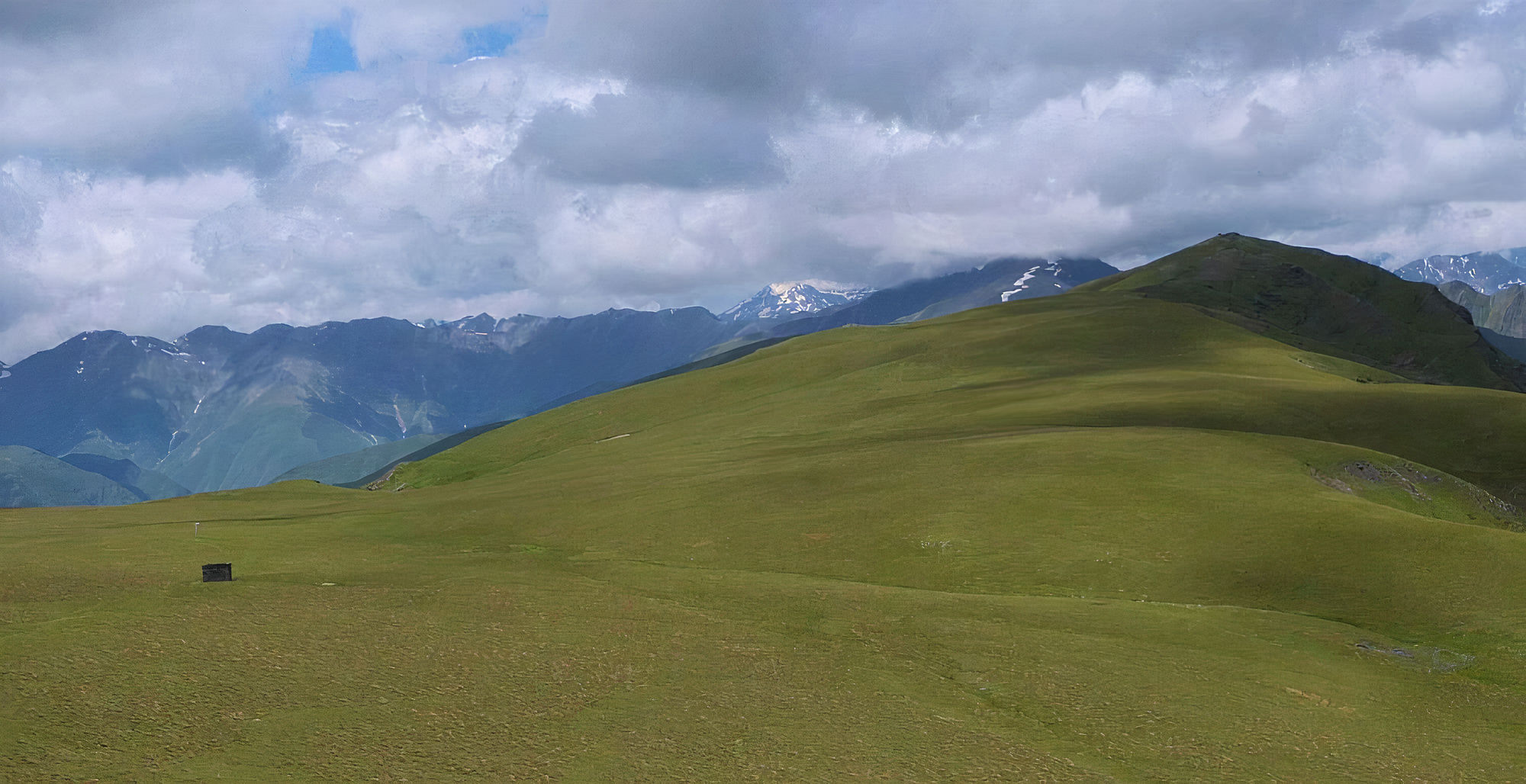
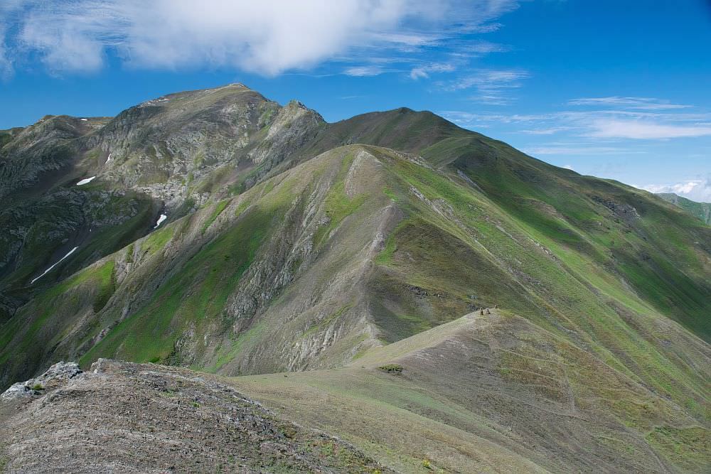
Behind Pitsilanta, the trail is pretty straightforward - just keep walking northwest on the top of the ridge. The trail goes up and down all the time, but nothing extraordinary. Soon, it turns a bit to the left, then to the right and suddenly you will see Nakle-Kholi pass ahead (and below). If you have time, I recommend climbing nearby Makratela hill (3100m) for even better views. Then head to the pass, the path at this section is well-trodden again.
Approaching Nakle-Kholi pass
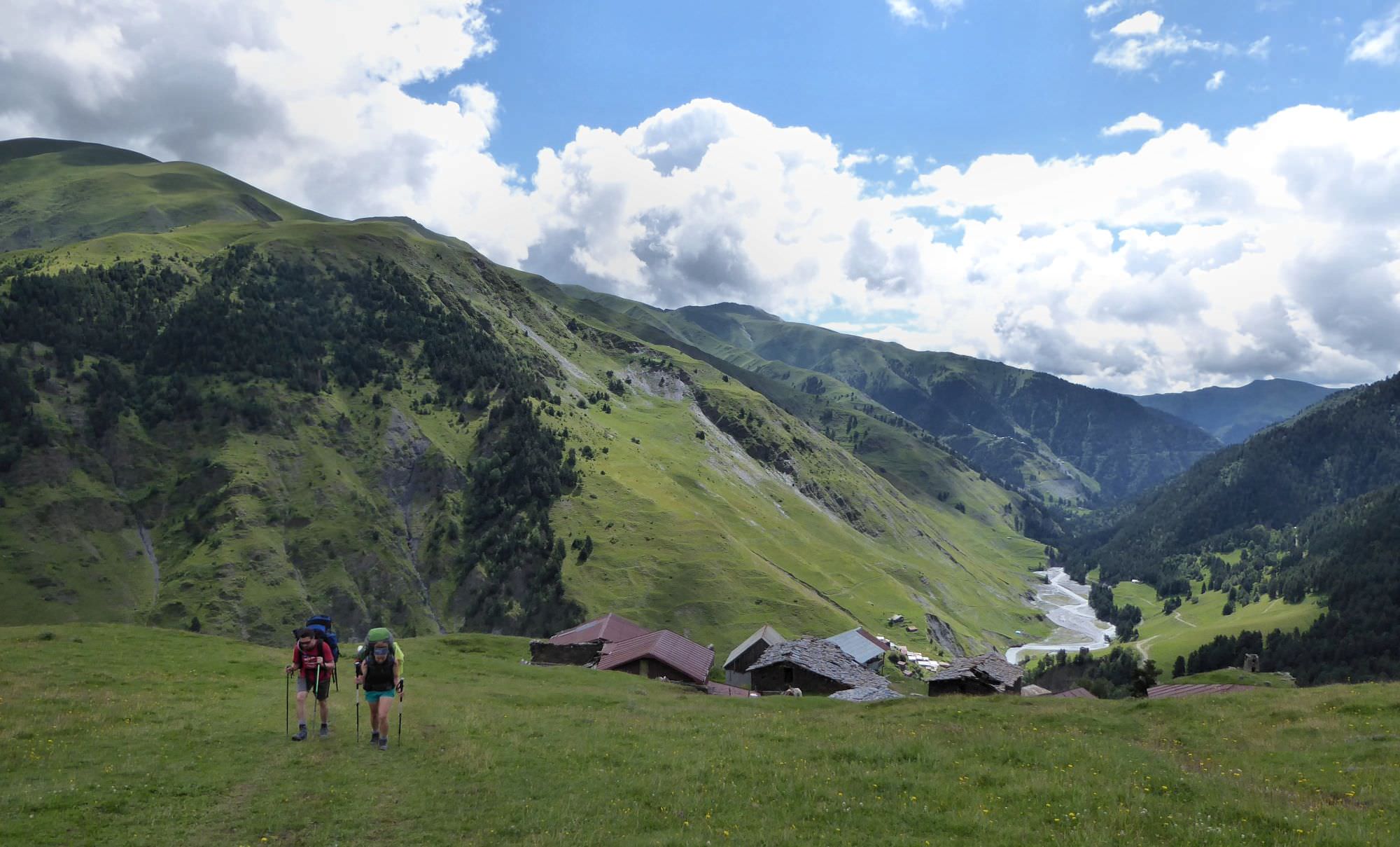
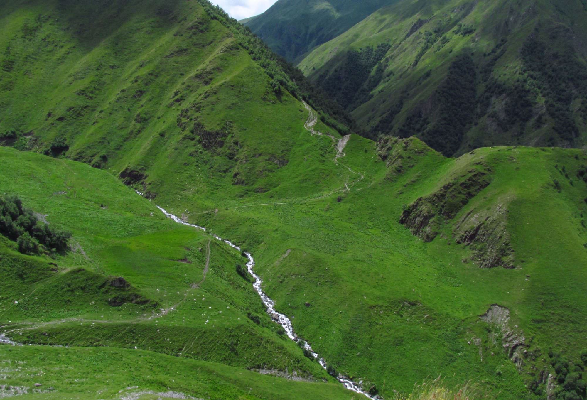
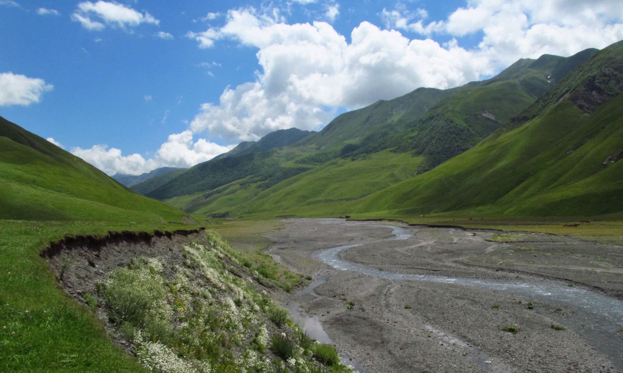
Nakle-Kholi pass is flat and wide, there is even a pointer showing the direction to Verkhovani - path heads to the southwest. The trail is well-trodden and there are write/red pole markers on tricky spots, so you shouldn't get lost. Eventually, the trail gets closer to the creek and passes abandoned village of Dadikurta. Below the village, it turns into a serpentine and descends to the small river, with the forest at the other side.
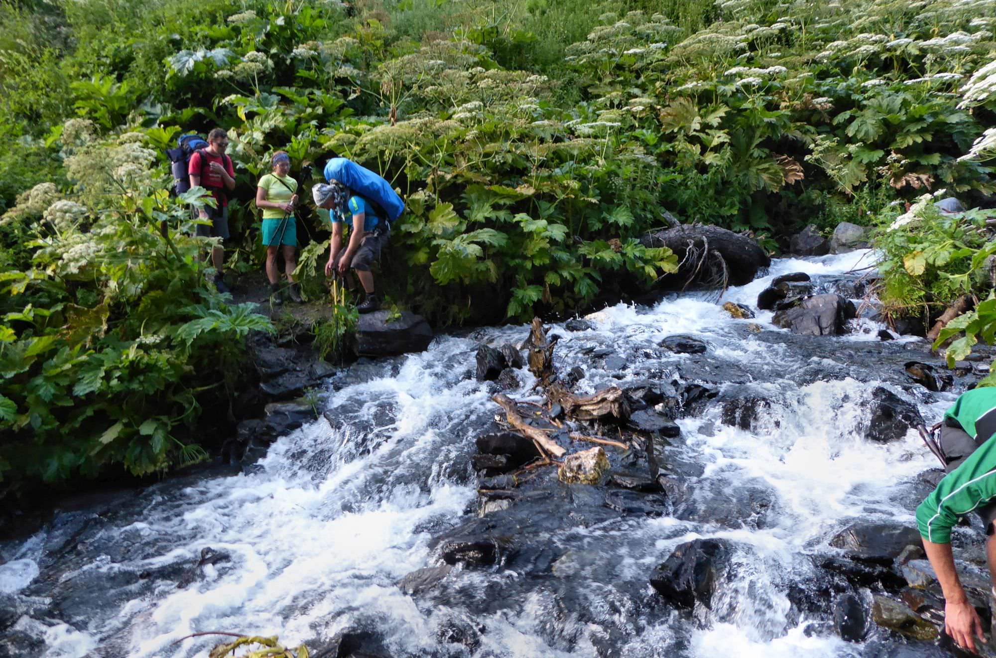
Next section is short but may take a while as it's necessary to cross the stream three times. First crossing is doable without getting wet, but the remaining two are not so easy - if you have sandals, I recommend to put them on. Finally, after third crossing, the trail climbs a bit uphill, circumvents the hillside and enters Verkhovani village.
The village is built on a steep slope, they are only a few places to camp (moreover, the ground is very rocky). If you think you deserve to sleep in the bed after today’s effort, you can do so in the "Guesthouse Lamata" (+995 99 70 03 78). It's very basic, but the bonus is that you can sleep in an actual Tush tower.
In case that Lamata guesthouse is closed or you are looking for something bit more luxurious, you can continue to the Posholi guesthouse (+995 599 208 427) in the next village, Jvarboseli
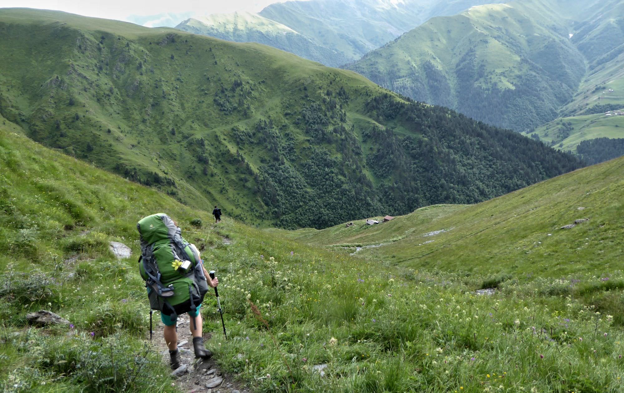
Entering hamlet Verkhovani
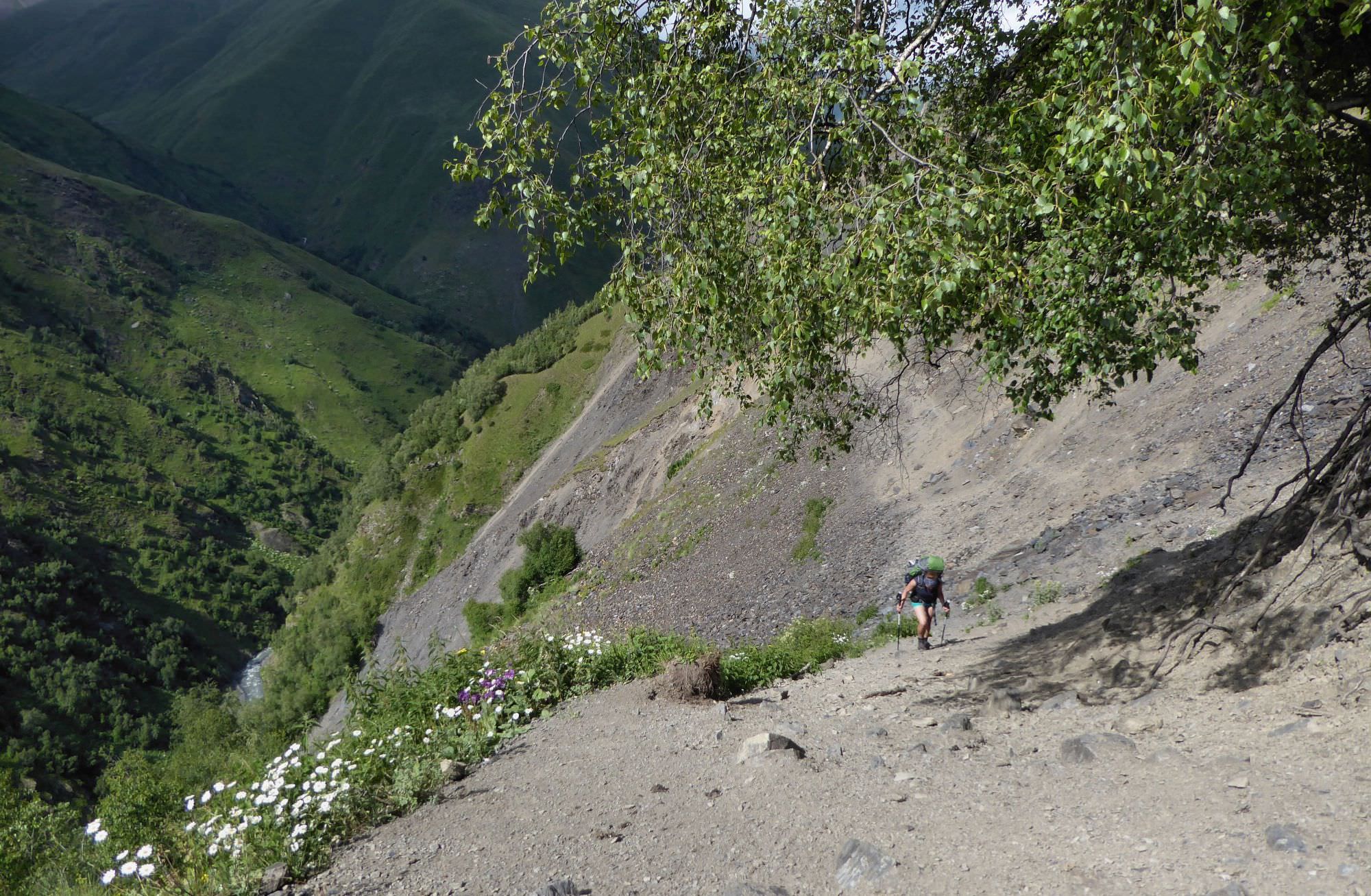
Follow the path which leaves Verkhovani village to the southeast, in parallel to the river (not that you have any other option since Verkhovani bridge got destroyed in 2017 :)). The trail is mostly in a good condition but there are also a few landslide sections where you need to be more careful. After 2 km, you will get to the Jvarboseli village. Local bridge got destroyed too, but a car track is crossing the river here at pretty wide spot so the crossing is safe most of the time. It you don't like how it looks, ask for assistance at the Posholi guesthouse, they should be able to drive you through for some reasonable price or direct you to some footbridge which occasionally pop up here, but now always survive next year's spring floods.
Once at the other side of the river, climb to the main road and follow it back, till you see Verkhovani again, now at the other side. Here, turn left onto the wide track climbing into the forest. Follow it for a few kilometers - it doesn’t follow Tushetis Alazani valley, but turns back and emerges in the valley of its small, nameless right tributary.
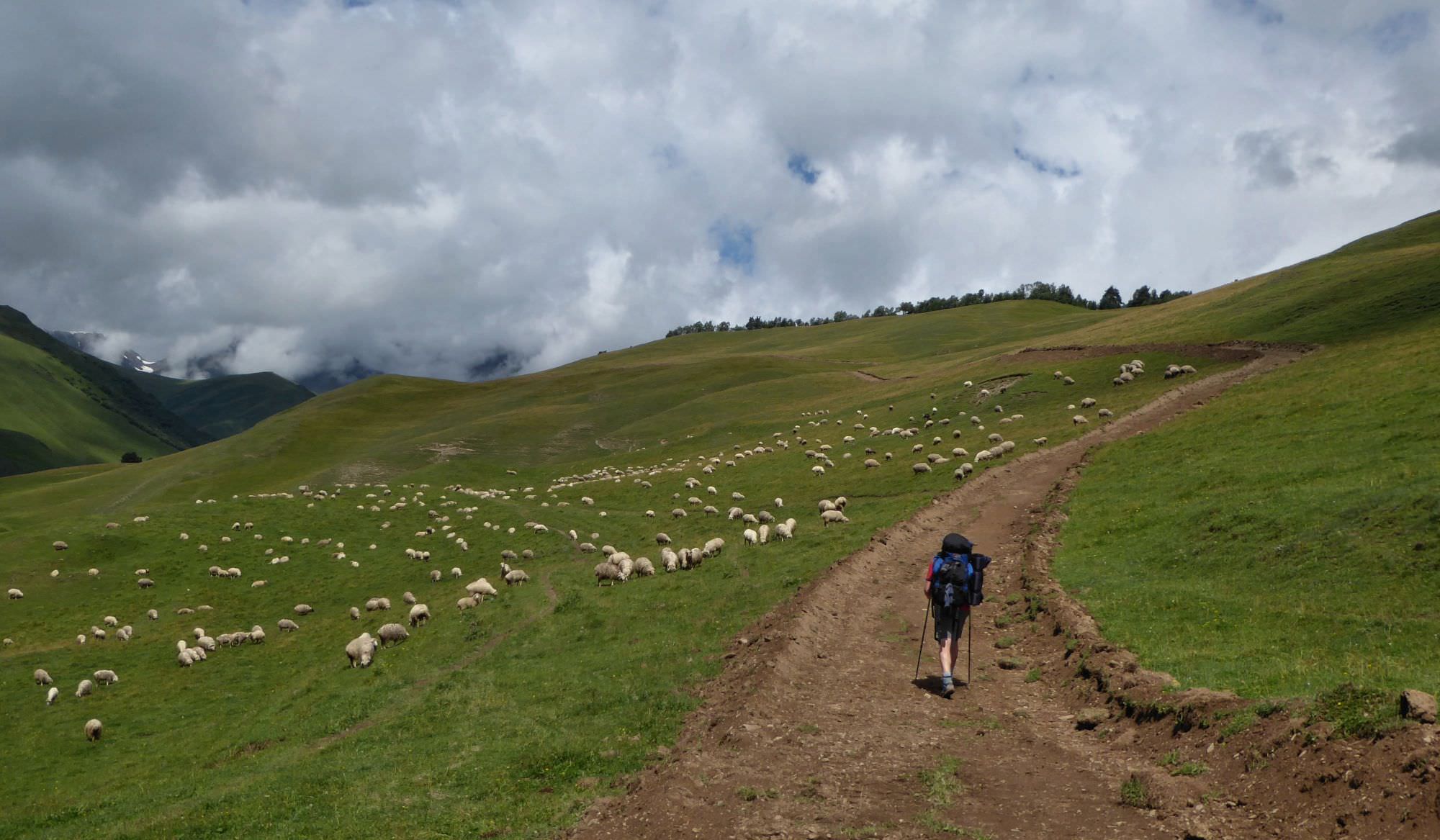
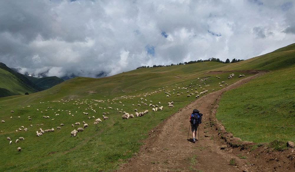
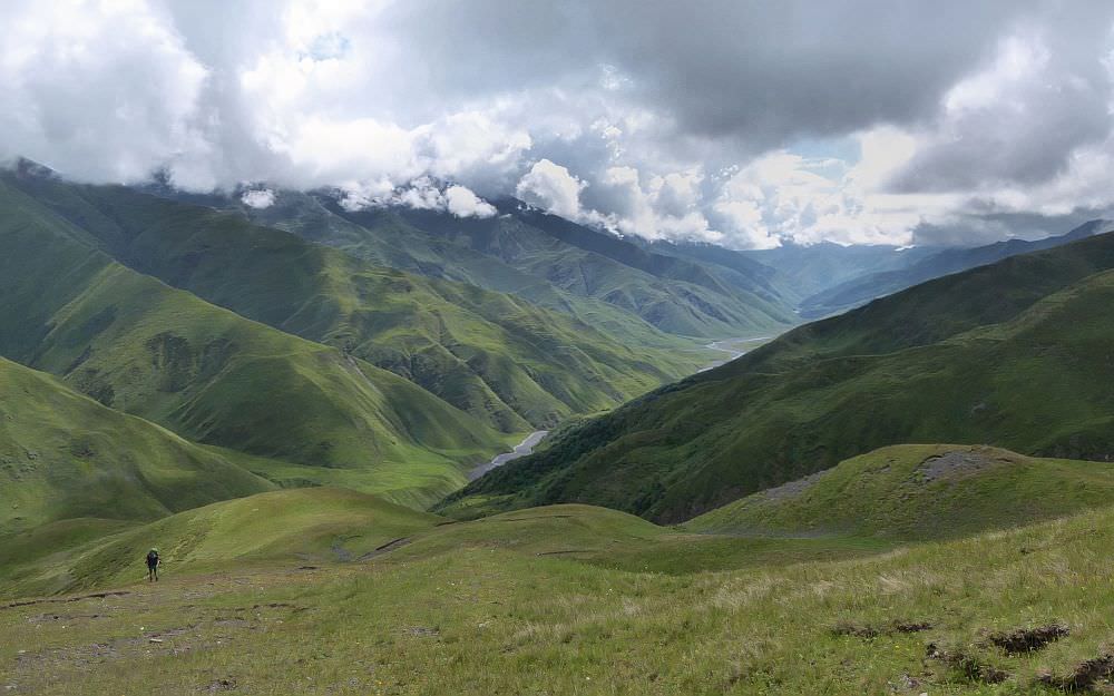
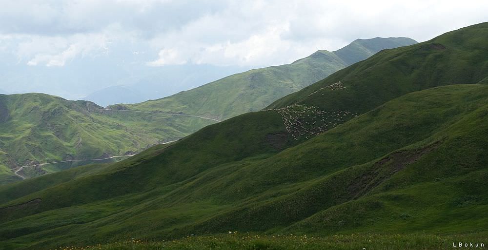
The valley is interwoven by many trails, as several groups of shepherds spend summers here - these settlements are called Koklata. But you can stay on the newly "bulldozered" road and head to valley's upper part, more or less staying on the contour line. Pass the last shepherds hut and head to a pass between two small elevations (this is also the furthest point you can reach by car if you took a taxi in Omalo). From here, view of Tushetis Alazani valley opens up in front of you.
Above Koklata
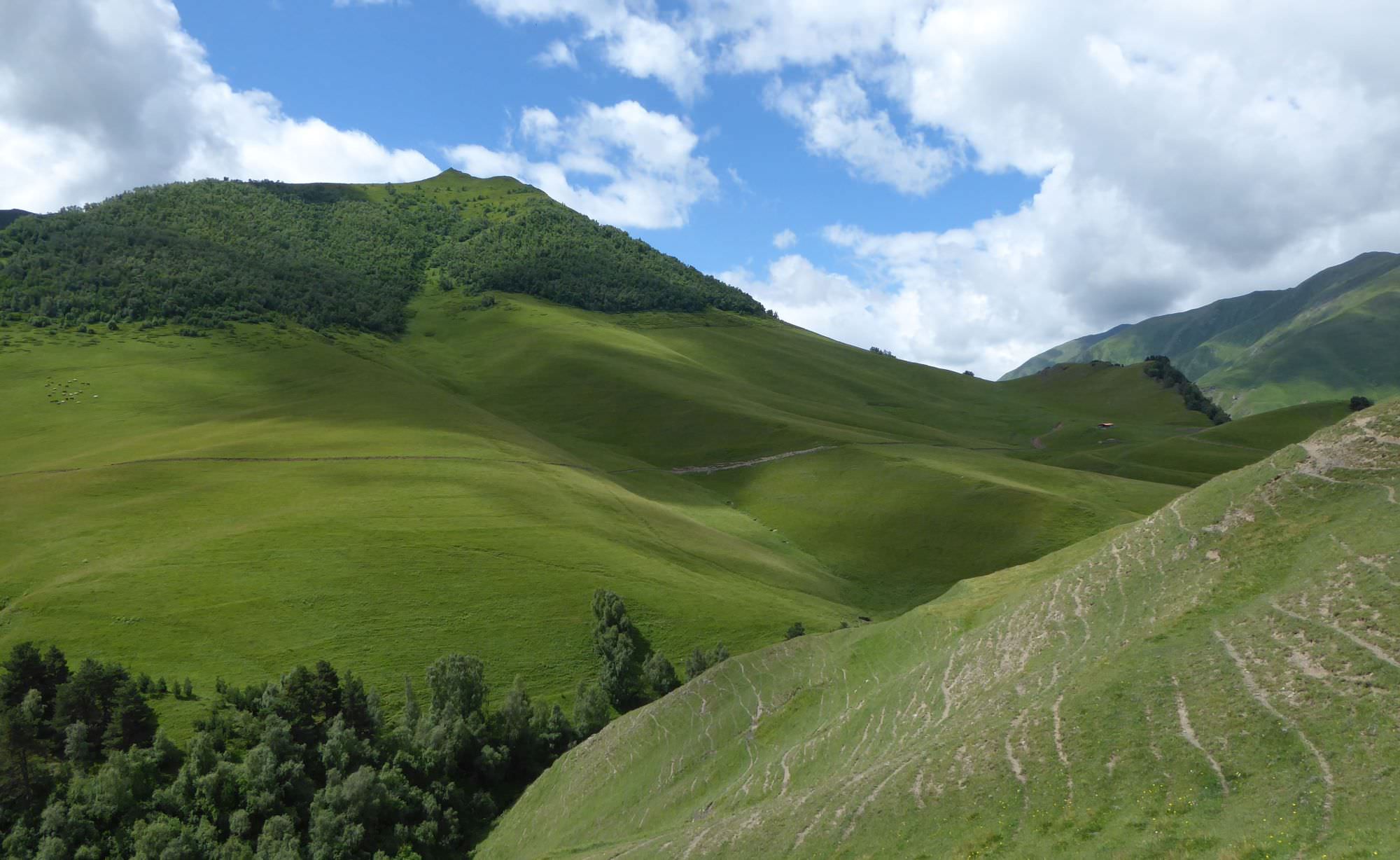
The trail from here is pretty straightforward. It navigates the valley, mostly on the contour line some 100 meters above the river - there are also several climbs and descents, but nothing really serious.
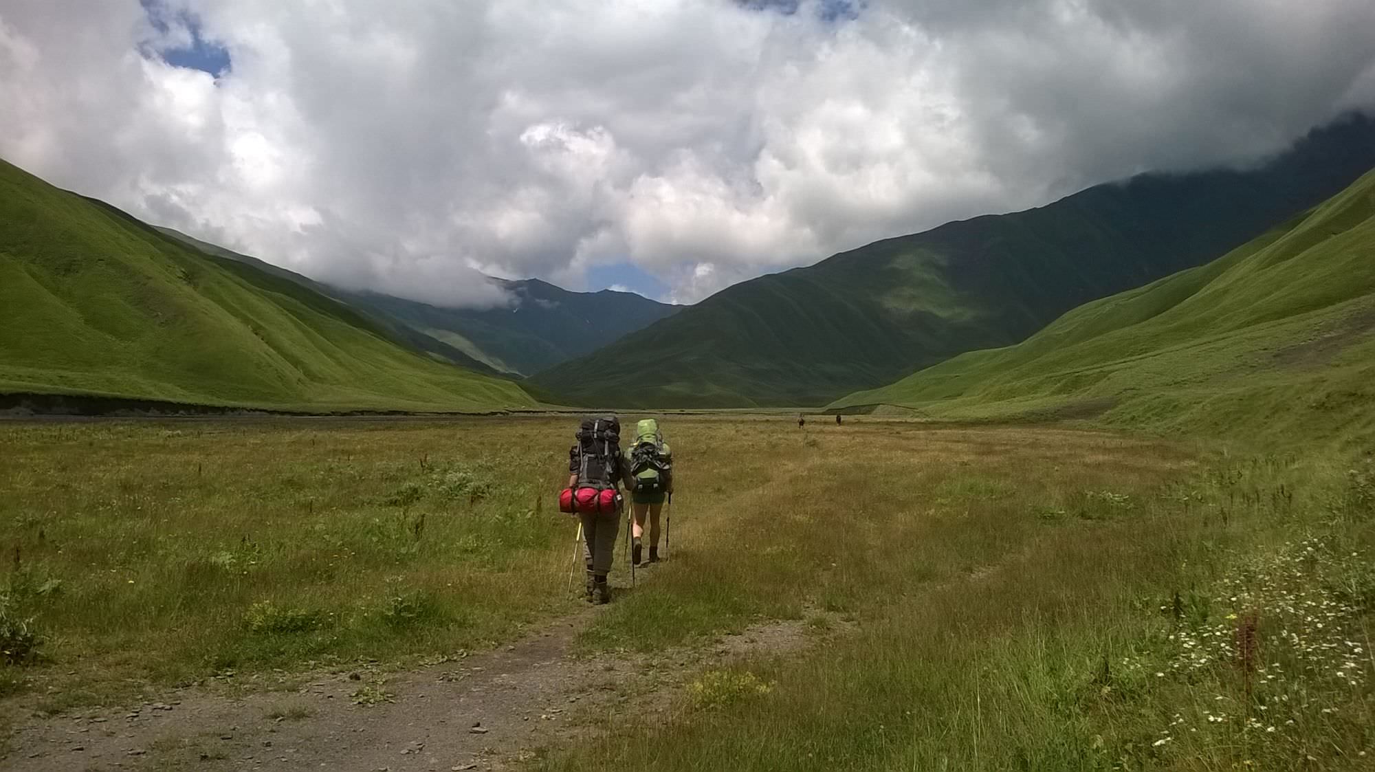
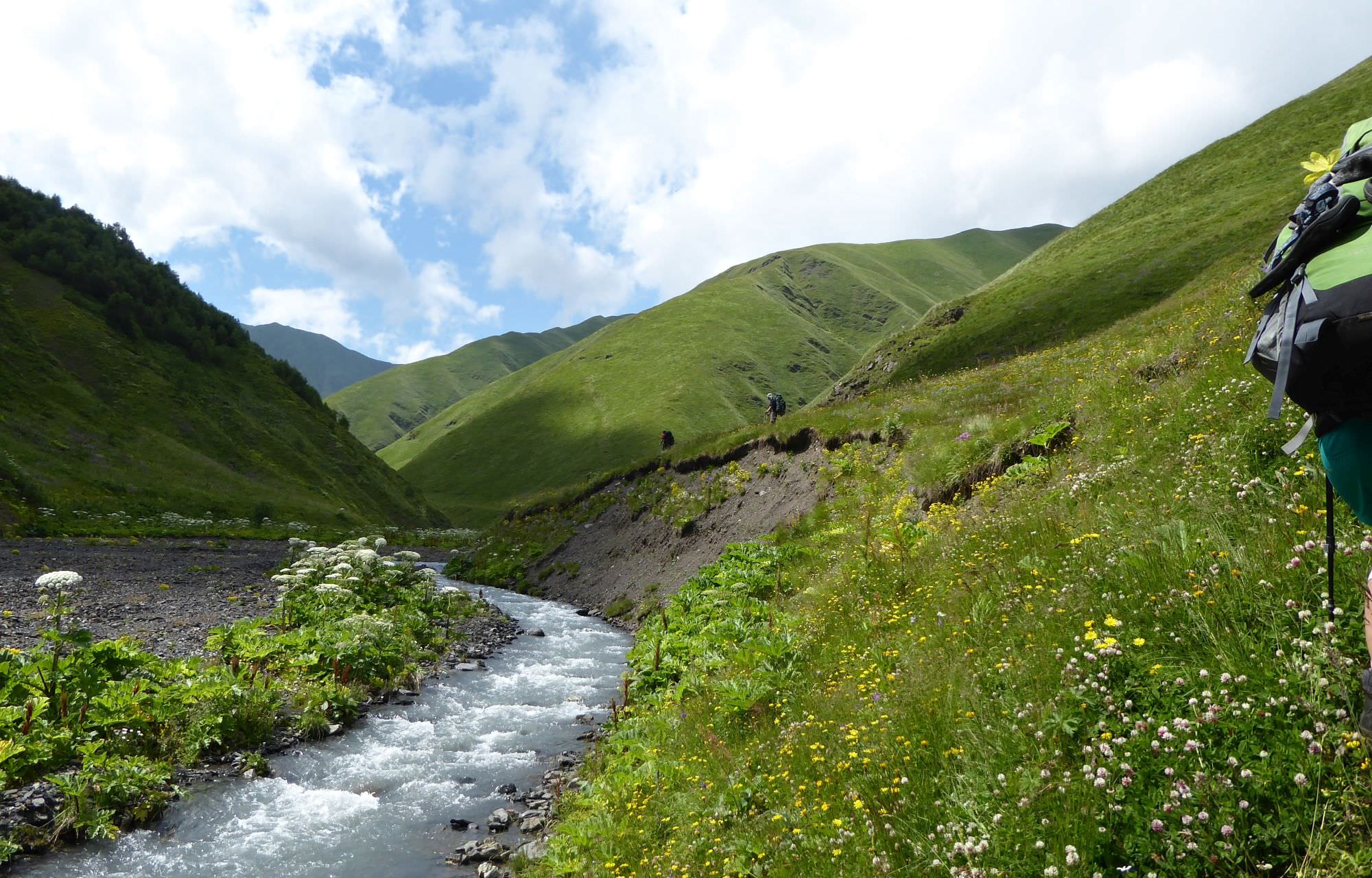
The trail alternately crosses meadows and forests with many smaller streams. Initially, it is very easy to follow, as it´s frequently used by local shepherds - on your way, you will pass several of their huts. But places for camping are limited. Later during the day, you will also reach sections, where the trail got damaged by landslides that are a little more tricky. Also, watch your step - during the last hour of today´s hike we saw three vipers.
Eventually, you will see a big shepherds camp far ahead, at a place, where the river bends to the west. This will be your camping spot - but it takes several more hours to actually get there.
Shepherds at the farm are producing “guda” - traditional Tushetian cheese, aging in sheepskin bags. They even built a small house and offer accommodation to hikers. If you are not interested, right behind the farm is a flat meadow, an ideal place to camp. Water string can be found by the farm.

Alazanistavi "guda cheese farm" visible far ahead, at the bend of Tushetis Alazani river
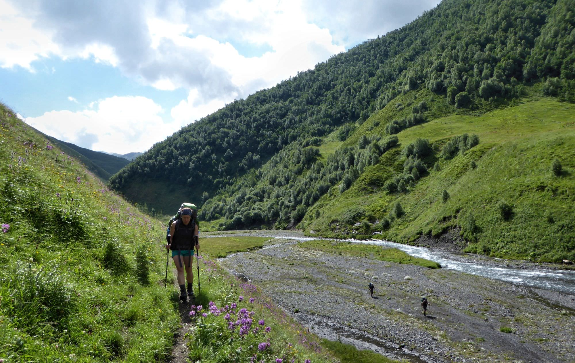
Continue walking up the valley - after 10 minutes you will come to the bridge and cross to the left bank of the river.
For the rest of the day, you will be following the river, heading to the upper part of the valley. But today, unlike the previous day, you will walk quite close to the river. You will pass several chalets of local shepherds - thanks to them, the trail is mostly well-trodden and easy to spot (tho as some places, also this one got damaged and you will have to traverse a steep grassy hillside).
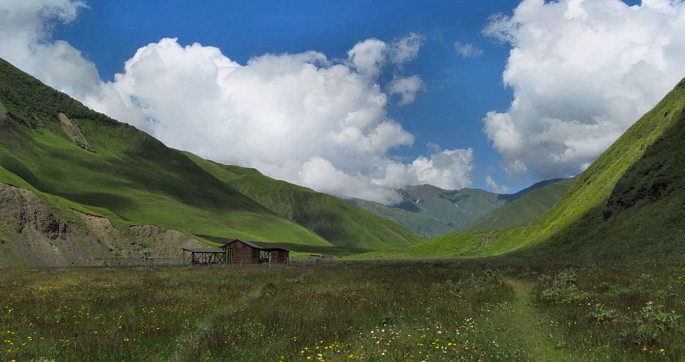
Then, in the early afternoon, comes the biggest surprise of the day - a brand new tourist shelter with 12 bunks and toilets built close to the Kvavistskali river. Not sure why it was built right here as almost no hikers use this trail, but let´s be thankful for what we have.
Unexpected tourist shelter in the Tushetis Alazani valley
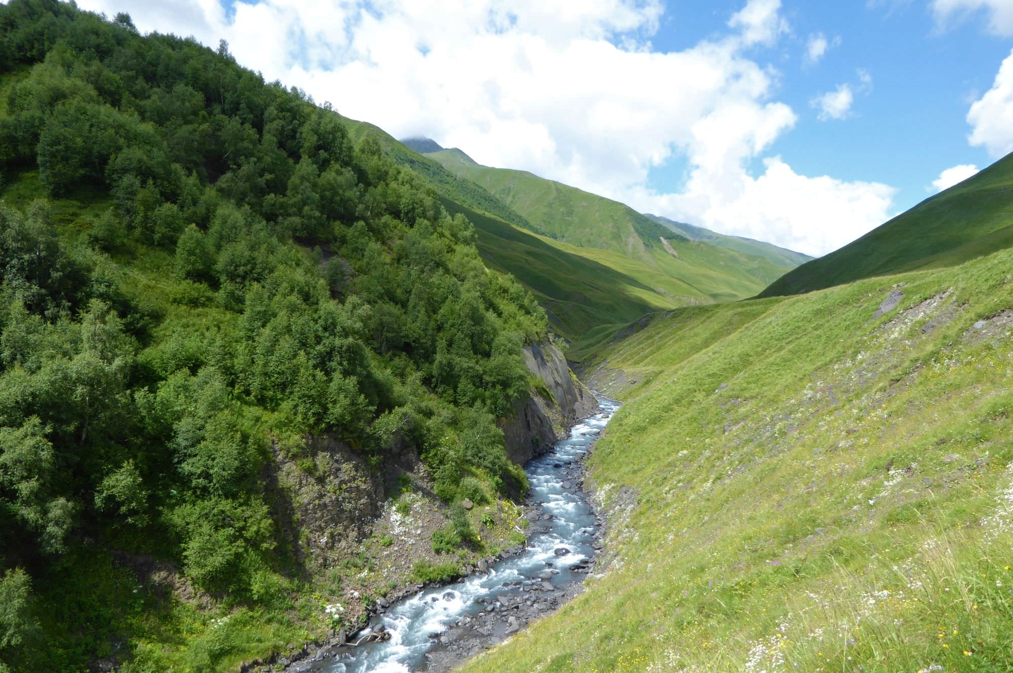
A shelter is a good place for a lunch. Few miles later, near the confluence of Tushetis Alazani with Samruli river, the valley gets much wider. Here, we find another hut occupied by an old shepherd named Ilo (or by some other shepherd with a different name :)) and few streams to cross (to cross the first one, use the bridge hidden by the hut). Further up the valley, the river enters a small canyon so you have to climb a bit uphill to bypass it.
Flat and wide section in the Tushetis Alazani valley
When you descend to the river again, the trail almost disappears. From here, it’s more comfortable to walk in the riverbed, it’s pretty wide. You may be forced to ford a river several times, but here, it’s already quite small. Soon, we come to the last hut in the valley (few years ago, Ilo occupied it, but in 2019, it was abandoned). Your camping spot lies almost 1km behind this hut, on the right bank of the river behind its another smaller tributary. The riverbed is rocky and slopes are quite steep here, we had to climb a bit to find a good place to build our tents.
Also, the situation with water is quite complicated. Ilo says that the water from the smaller tributary is good, but we saw his sheep grazing high above around it, so we are not so sure about it. Luckily, there are several small springs emerging around.
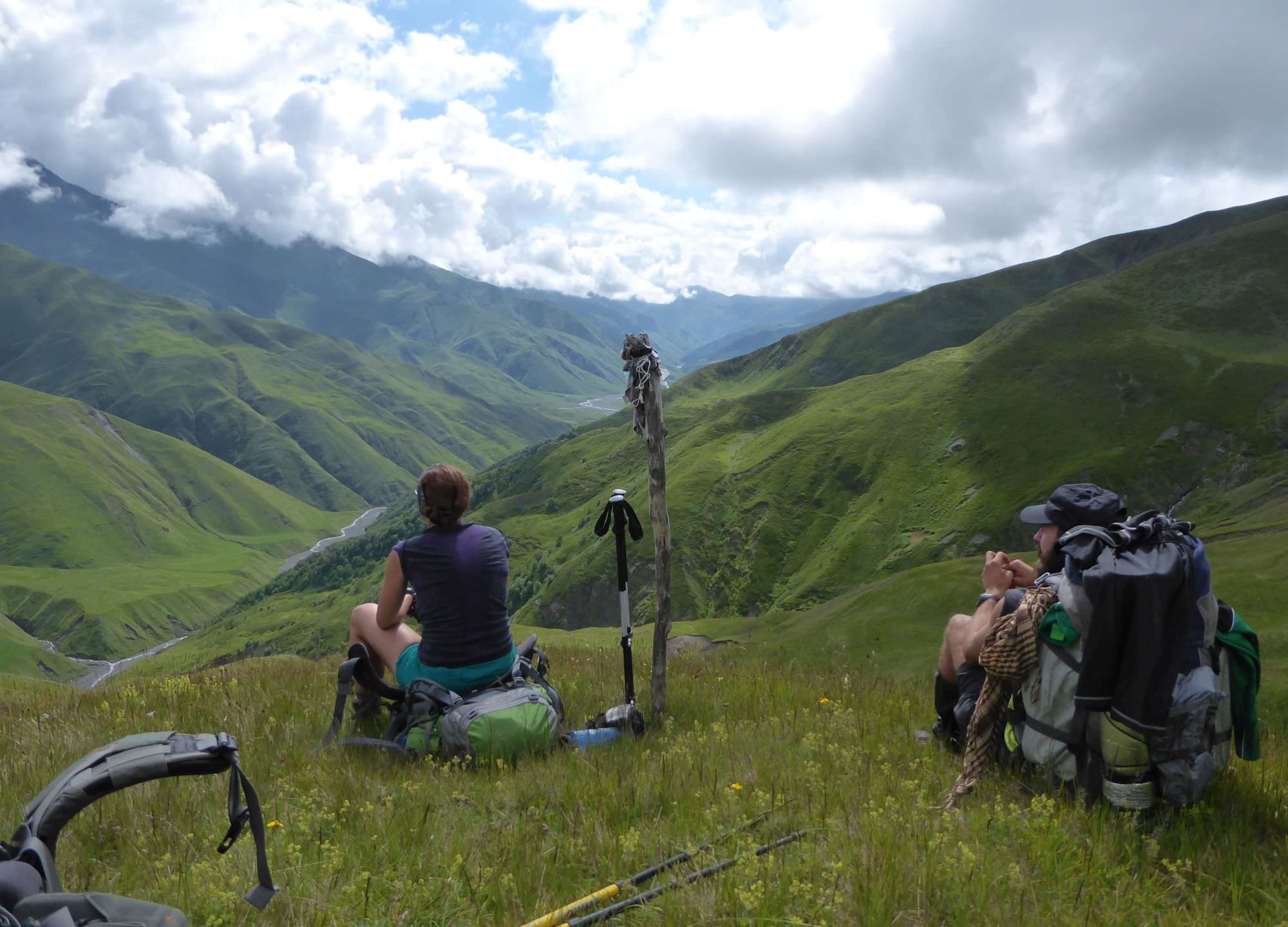
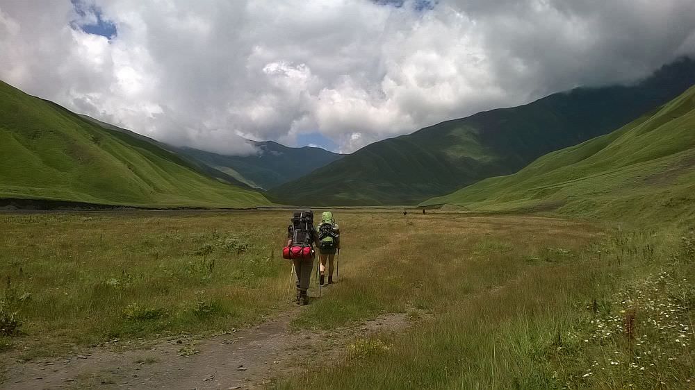
Classic approach to Borbalo pass via Tushetis Alazani valley. Soon, the trail leaves it and climbs left, towards the pass
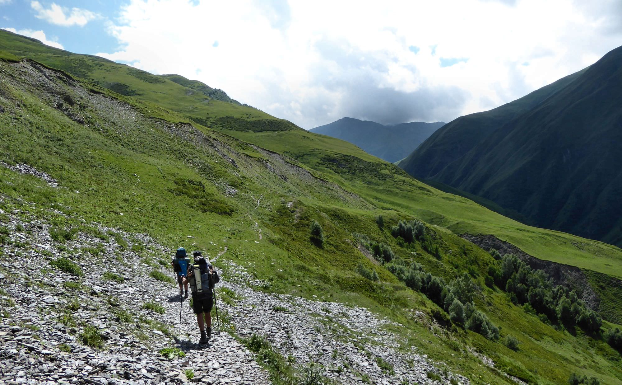
From the campsite, start climbing uphill, while staying close to the small tributary of Tushetis Alazani. Once you reach the elevation of 2500, turn right and start climbing towards a small side ridge to the west. You will see elevated shepherd camp ahead belonging to a dude named Dato, but it´s not necessary to climb all the way to it, it lies some 70 elevation meters above the trail. Pay attention to gpx or the map - but no need to worry, if you climb too high, you will see the trail below.
Once you find the trail, the walk becomes more comfortable - remains of the old cart road can be clearly seen. You will be heading to the northwest, slowly getting closer to the top of the ridge on your left. Finally, the trail disappears in the steep shale field and once you cross it, you will appear on the top.
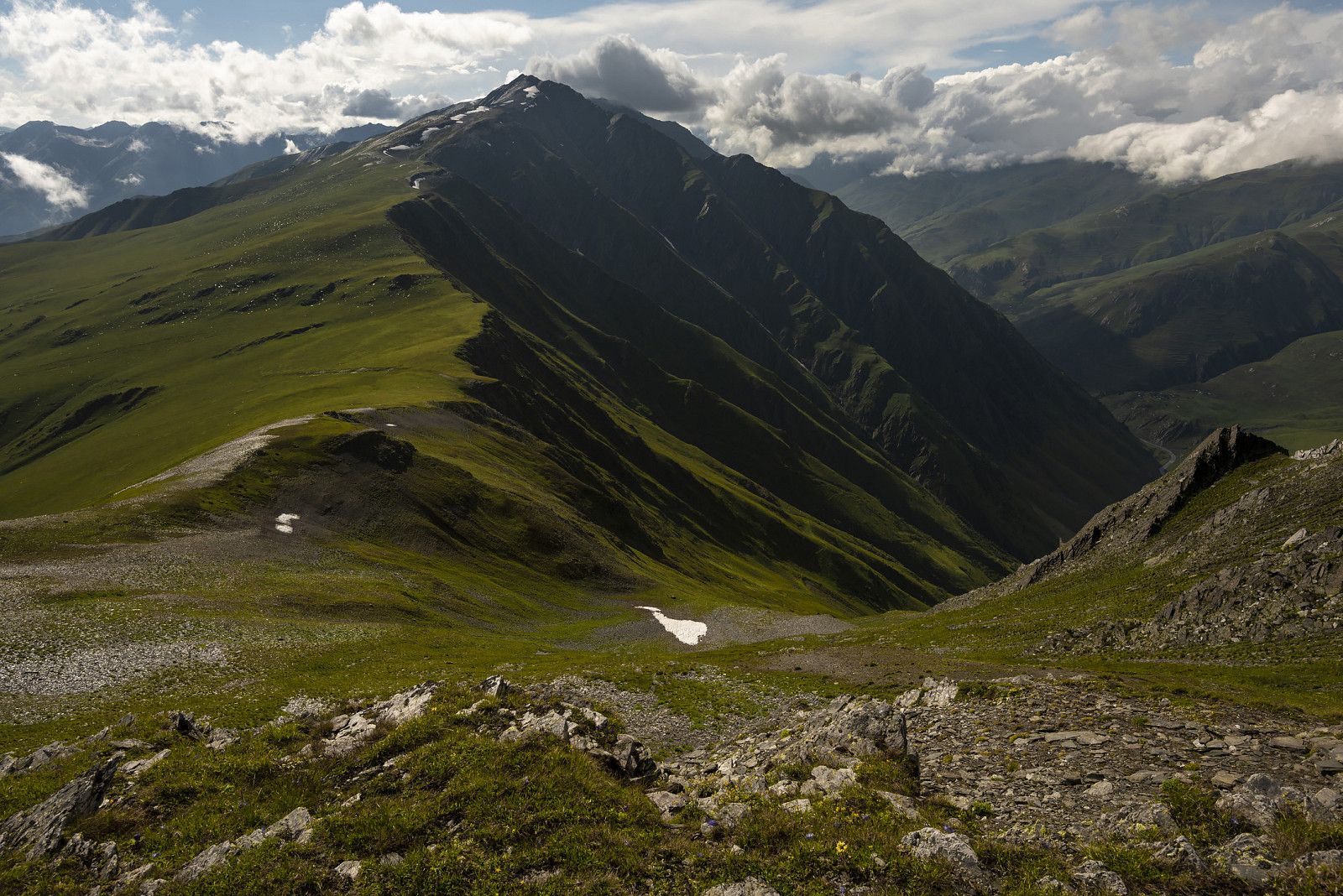
Climb to the Borbalo pass
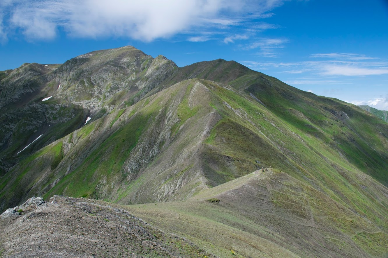
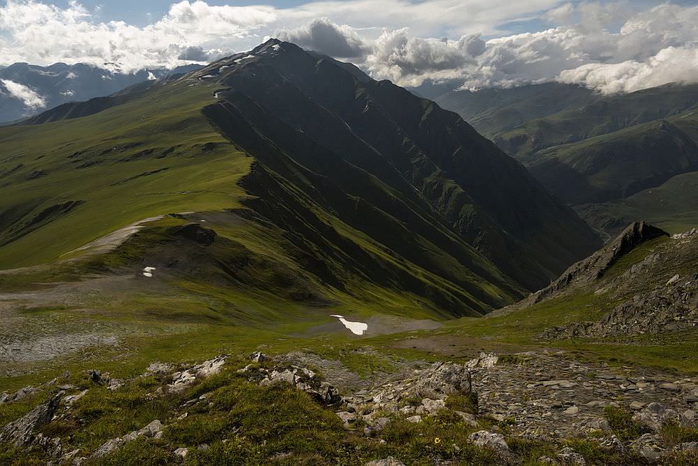
It´s too soon to celebrate. Mountain ridge separating Tusheti from Khevsureti lies further to the west, this is just a side ridge. Follow it for a while. In front of you, it rises again and connects the main ridge. There lies the mountain Patara (Lesser) Borbalo (3134m). You can climb it, but more comfortable is just to bypass it from the left side.
Borbalo pass (2980m) lies some 500m south of Patara Borbalo and is marked by numerous stone pyramids. Once you reach this spot, you can´t keep walking on the ridge, there is a steep drop ahead. Look to the right, you should see a small trail below. Follow it for a while. Now, you see the deep valley of Andaki river right ahead and further to the left, approximately at your elevation, lies Andaki pass (2887m). Traverse towards it - there is no trail, but the terrain is not hard to navigate. While walking this section, we saw a man with a horse walking in the opposite direction some 100 meters above us, so maybe there is some real trail.
Borbalo pass seen from the north. Behind, one can see the mountain Greater Borbalo
At the Andaki pass (2877m), the trail reappears. From here, you will be mostly traversing the main ridge - rarely on top, usually some 100-200 meters below.
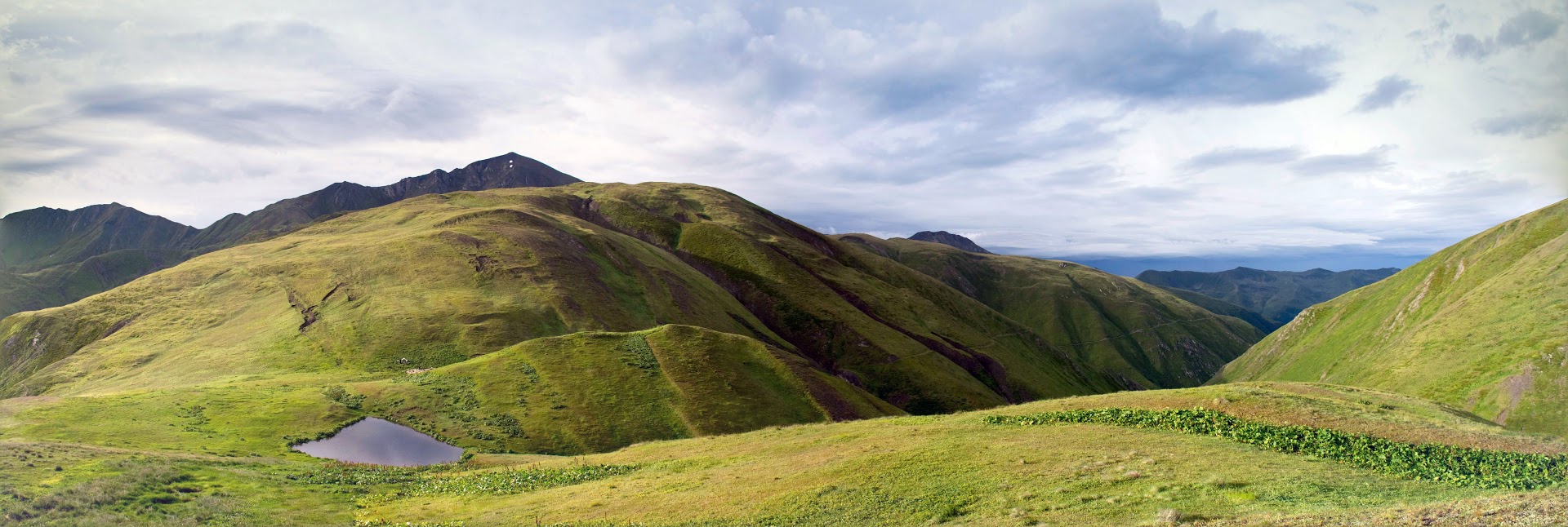
The section behind Andaki pass is quite flat - after about 2km, you will come to a tiny Borbaloskari lake with several springs. It is also an ideal campsite, especially if you took the "Sakorno pass trail" - if you followed valley route, it´s quite early but it still may be worth it to break a camp here - it is the only source of the water on the ridge.

Borbaloskari lake. We arrived from the left, to the right is visible trail descending to Pshavi
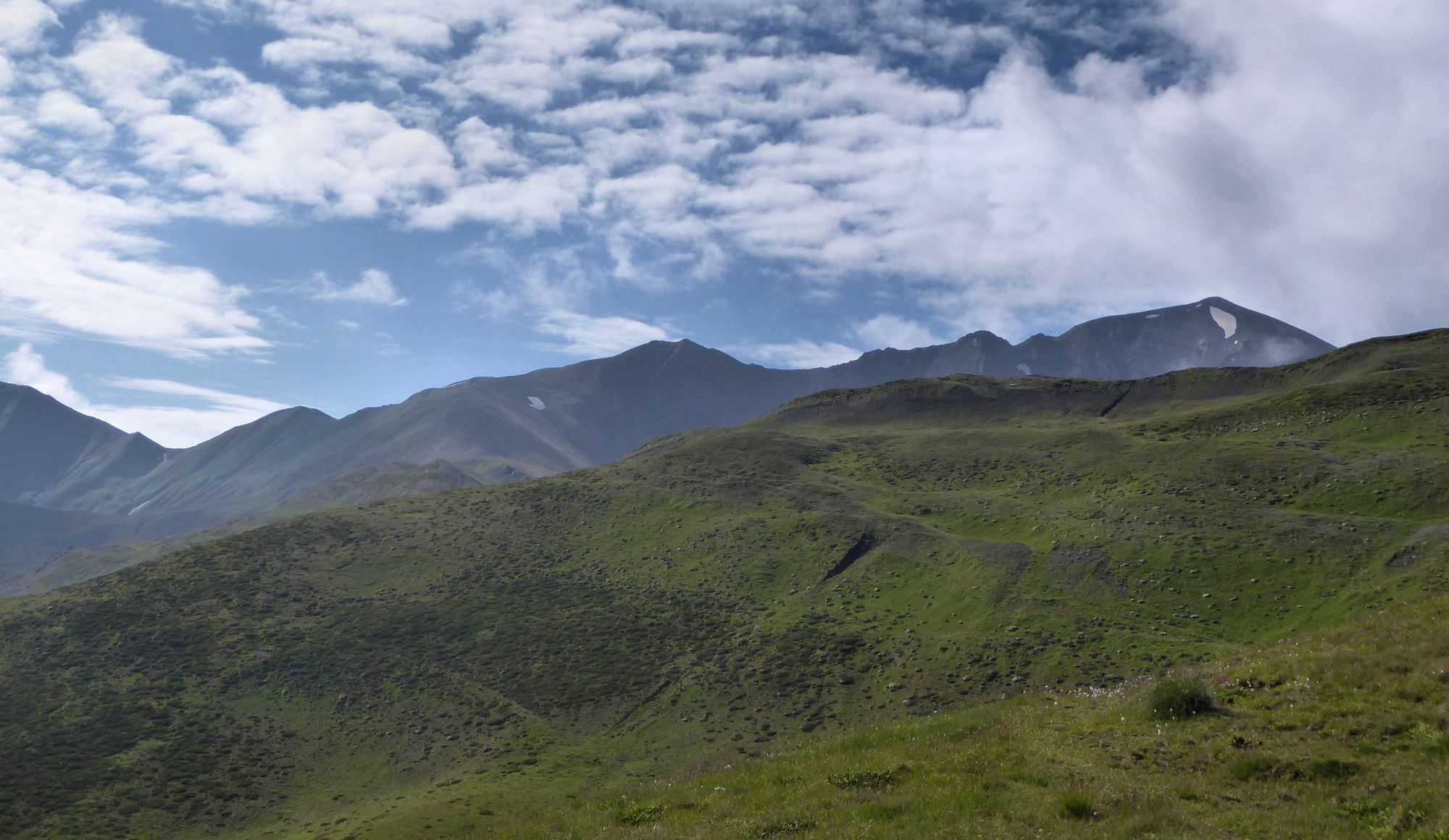
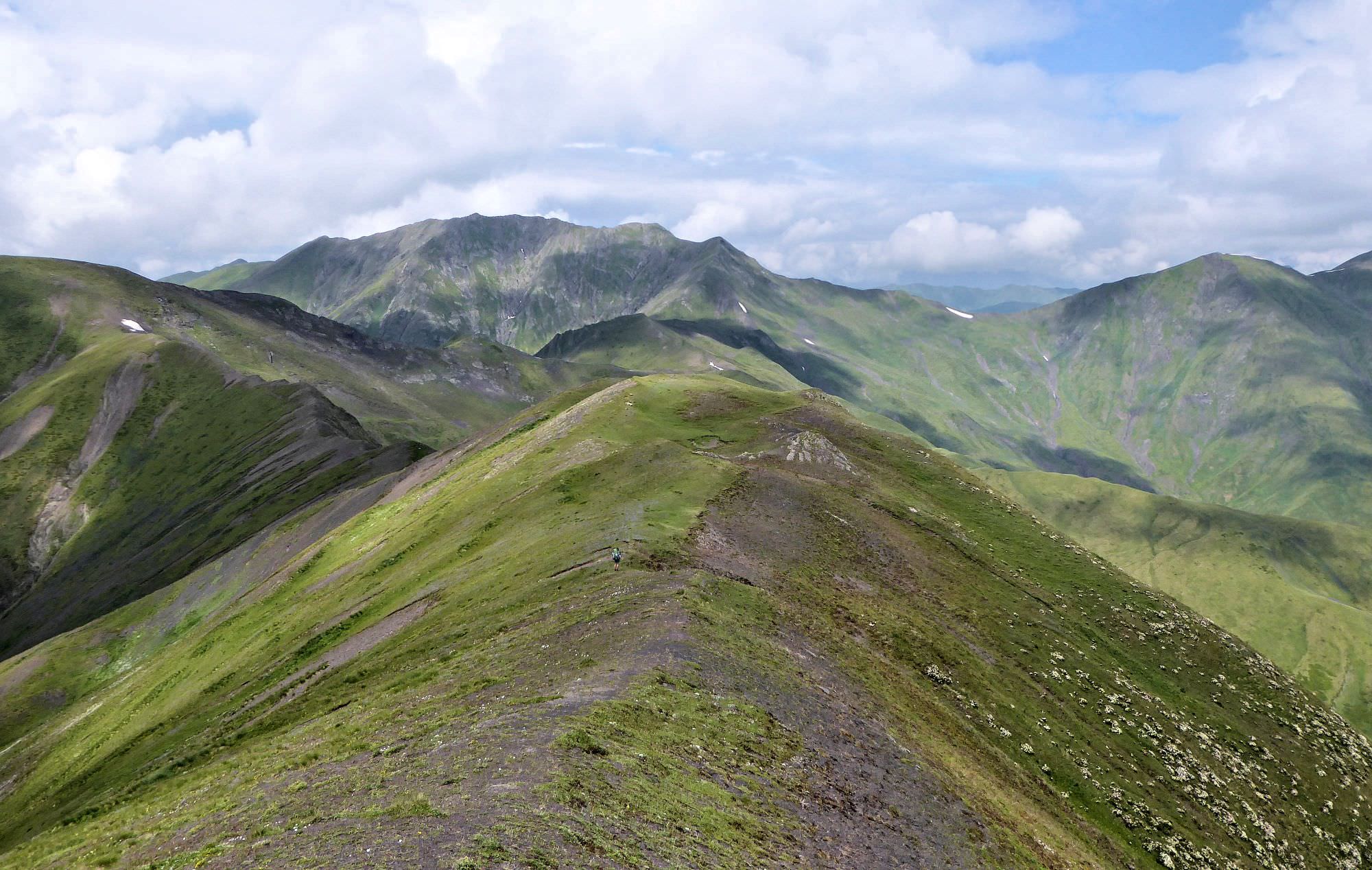
If you decide to go on, fill all your bottles. The trail climbs some 100m and leads you to the small pass. From there, the view of Mariamtsminda mountain (3104m) opens in front of you. You will have to pass it from the right side - there is nowhere to get lost, just follow the top of the ridge. To pass by the mountain, it´s better to lose some elevation and walk on the lower, more flat terrain instead of trying to traverse steep, rocky slope. Then you will cross another small "pass", a solid place for a camp with 360° views of surrounding mountains. However, there is no water.
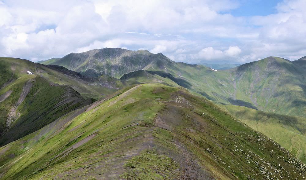
Hiking on the main ridge of the Greater Caucasus. Mountain in the middle is Mariamtsminda, the trail bypasses it from the right side
From the camp site, keep walking to the east. Trail is here well-trodden and slowly leads you to the another small pass (marked as Foggy pass in the GPS file, 2969m).
Cross the pass, turn right and traverse the hillside again. This section is a bit problematic, as the trail disappears again and the terrain is quite steep. And what´s worse, there are several deep gullies in your way. Crossing these gullies is exhausting, it´s much better to climb a bit uphill so you will walk above them. Eventually, you will find here also some kind of a trail, which will eventually lead you a bit down, onto the wide and relatively flat terrain.
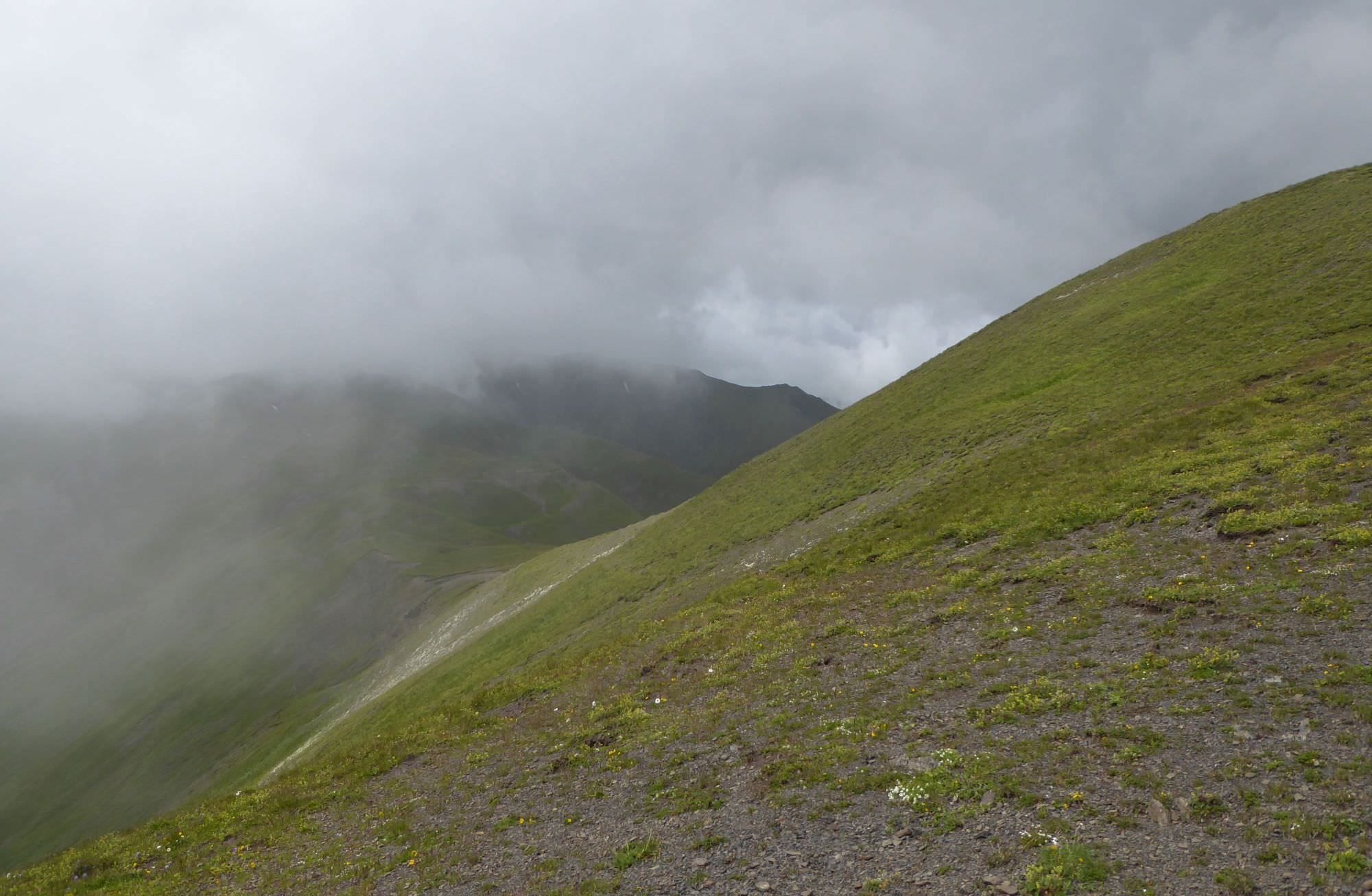
"Foggy pass" ahead. Here, the trail is quite preserved./p>
The trail then passes unremarkable Borola hill (2954) and turns north, towards Chanchakhismta hill (3024m). It the last mountaintop on your route so it´s worth visiting - but if you don´t want to, you can easily bypass it. From Chanchakhismta, descend west to the small pass and from here, descend to the Chanchakistskali valley starts (not directly at the lowest point of the pass but a bit to the northwest). The trail is quite obvious, it leads on the left side of the valley. Eventually, you will reach the bottom of the valley, where two larger streams come together.
If you plan to continue to Khakhabo, a bit downstream is a good place to camp. If you plan to head to Datvisjvari pass, right ahead of you, on a hill behind a left tributary, you can see a serpentine climbing uphill. Climb the steep hill, the trail then turns northwest and leads you to the Chanchakhi pass (2849m). Beautiful views open in front of you.
From the pass, descend directly to the west, on the right bank of the river. The trail will lead you to the southernmost point of the road connecting Shatili with Datvisjvari pass, on a spot, where it sharply turns to the west.
Alternative route to the pass: To get to main road, one doesn´t have to descent to Chanchakistskali valley - to be honest, we did it mainly because we wanted to continue down to Mutso. You can just follow the main ridge to the west and then turn north to the pass, as outlined in the gpx log. This way, you will keep your altitude and won't have to descend and climb to another pass again.
Which option is better? That depends on your further plans and water situation. If you stay on the top of the ridge, you can reach the road with much more comfort. However, if you don't have prearranged transport, I recommend only if you manage it no later than in the early afternoon. Because there is no water at Datvisjvari pass and if you reach it too late and fail to stop any passing car, you might be stuck there for a night. In comparison, route through Chanchakhi valley, while harder, gives you the option to camp by the river so water is not an issue.
Beyond the Chanchakhi pass opens up view of Datvisjvari pass and of the road climbing to it