Difficult, but very scenic trek navigating remote northern parts of Khevsureti.
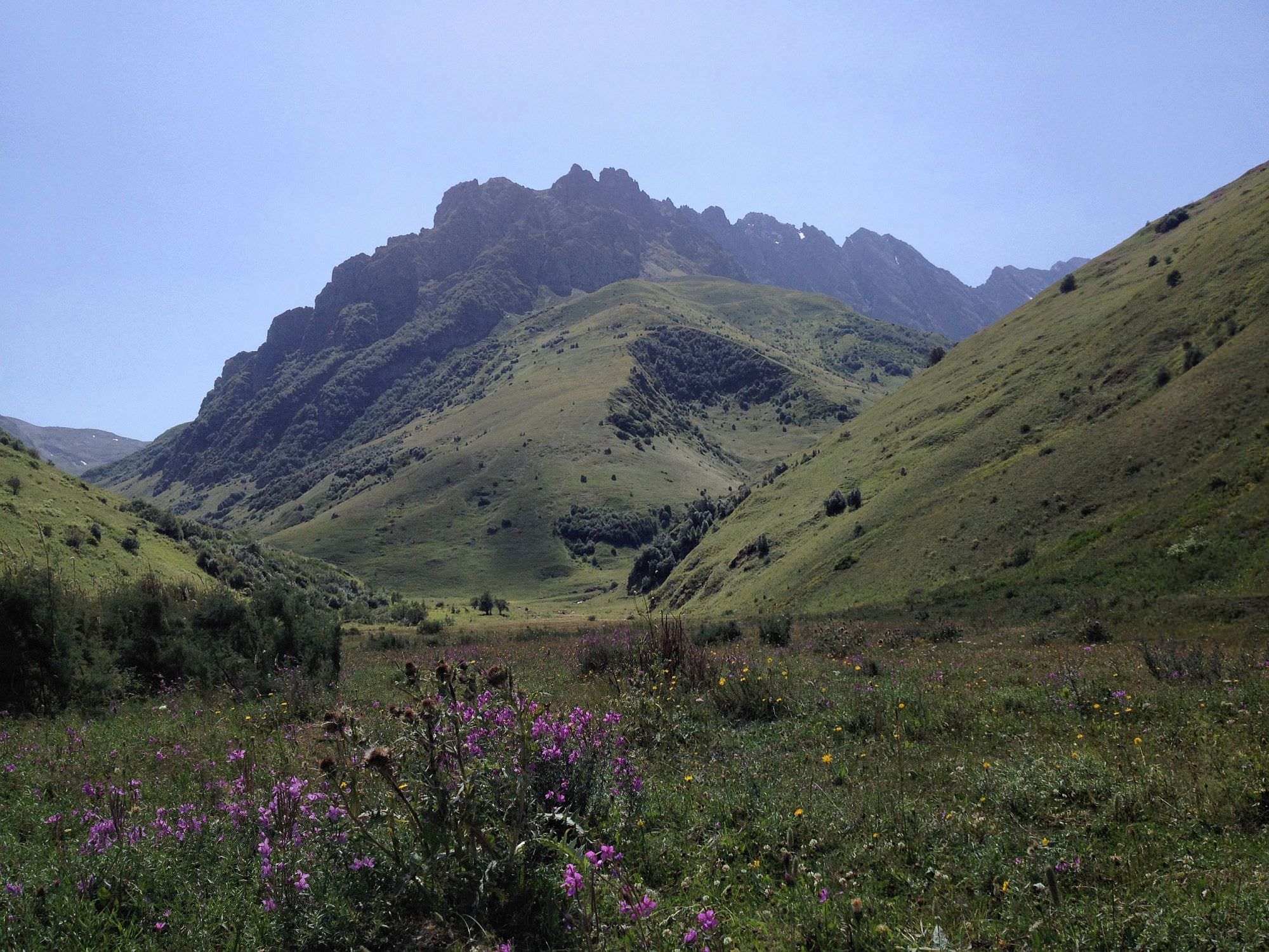
This remote and beautiful 2-day trek truly presents the vastness of Caucasus - most of the time, one can enjoy views of countless, huge mountains.
Because of very few tourists and no shepherds, usually there is no path at all and one has to choose his own.
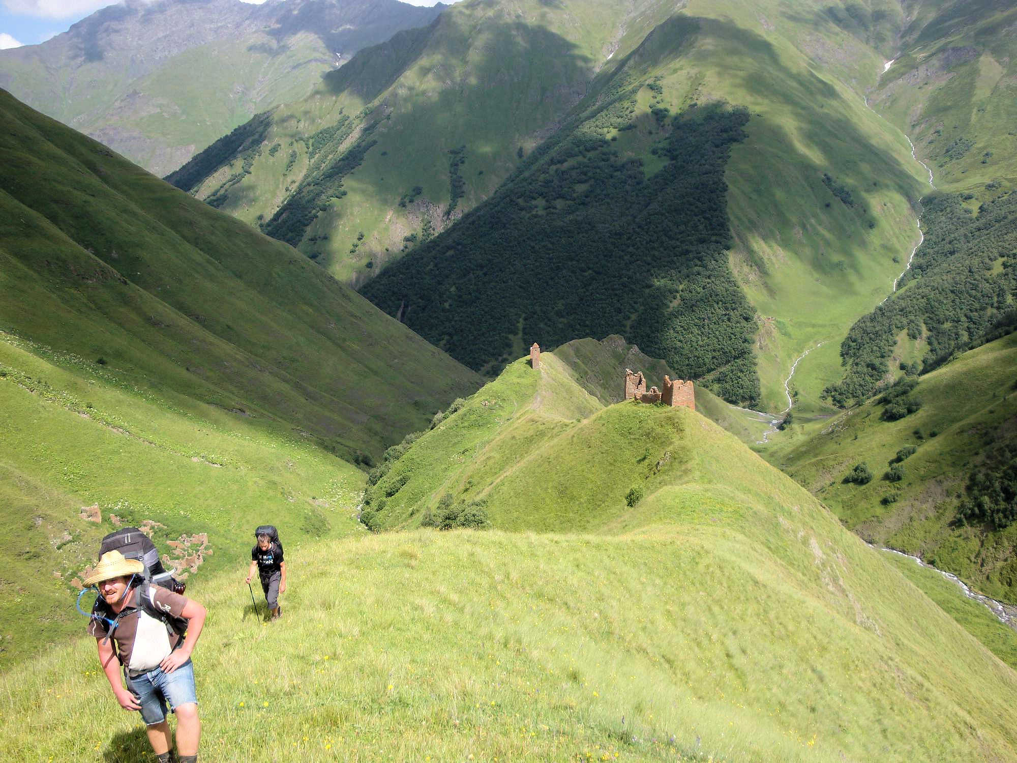
Trek starts by the Kistani tower, climbs up the ridge and follows it all the way to Kalotana pass, from where it descends to the valley of Asa river.
Both days are difficult, but each in a different way - one has a major climb, the second one lots of bushwhacking.
Three important remarks:
1.
Don´t try this trek on rainy or stormy days, because most of the time you walk on the beautiful, but very exposed ridge at a high altitude.
2. Generally, there is a lot of water in Caucasus, but this is not the case as you will spend a whole day at the top of its main ridge.
Especially, be prepared that on the first night, at the hiking shelter, there is no running water, only snow to melt.
3. You should have a map and compass, ideally also a GPS device. Walking on the ridge sounds easy, but there is a lot of valleys, ridges and nobody to help in case you would get lost.
If you don't want to carry extra water, you have to spend about 12 hours on the first day to get to a reasonable campsite with a river nearby.
There is no path most of the time, so you have to walk through the grass or traverse quite steep screes on the slopes.
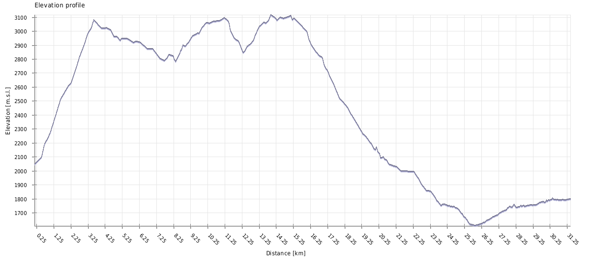
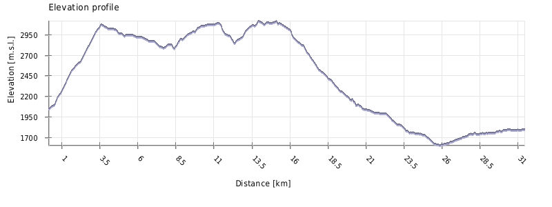
Trek is also quite long - from Kistani to Tanie pass, there is approximately 15,5 km with over 1000m ascent, and some tiring traverses.
On the second day, it is easier but still you have to walk another 16,5 km and descend more than 1000m (on a path mostly leading through the bushes).
Best time is August (probably late June and July are also OK, but we haven't checked it) . August is hot, but not so rainy.
Thanks to the newly-built tourist shelter at the Tanie pass, you can theoretically complete this trek without a tent, only with sleeping bag and mat. Which sounds great, however, only if you are confident that you will be able to reach the Tanie pass in a day (and then Akhielli village on day 2).
I would probably play it safe and bring at least tarp or something for the emergency bivouac. This is a remote area and I don't want my readers get stuck in the winter cold. But it's up to you, we are all adults, aren't we? ;)
On foot from Shatili, but the road is long and dull; you can try to hitchhike or pay for a 4WD (it costs up to 100 GEL per car, 4 people).
If you want to come from Tbilisi, marshrutka to Shatili departs on Saturdays from Didube station. It leaves at 9. am, but it's good to come 30-60 minutes earlier
as it's almost always full. Ask the driver to drop you by the Kistani tower.
Only on foot (maybe on a horse) to Juta or Roshka. From Juta you can arrange a transport (50 GEL per car to Stepantsminda.
In Roshka, there is no public transport, but there are some guesthouses where you can arrange a jeep. Of course, you can also keep walking and follow the blue trail either
to Chaukhi pass or to the main road.
In 2017, a new road connecting Akhielli and Roshka will be finished so it should be possible to leave Akhielli village also by car. If there will be any to hire, that's another question.
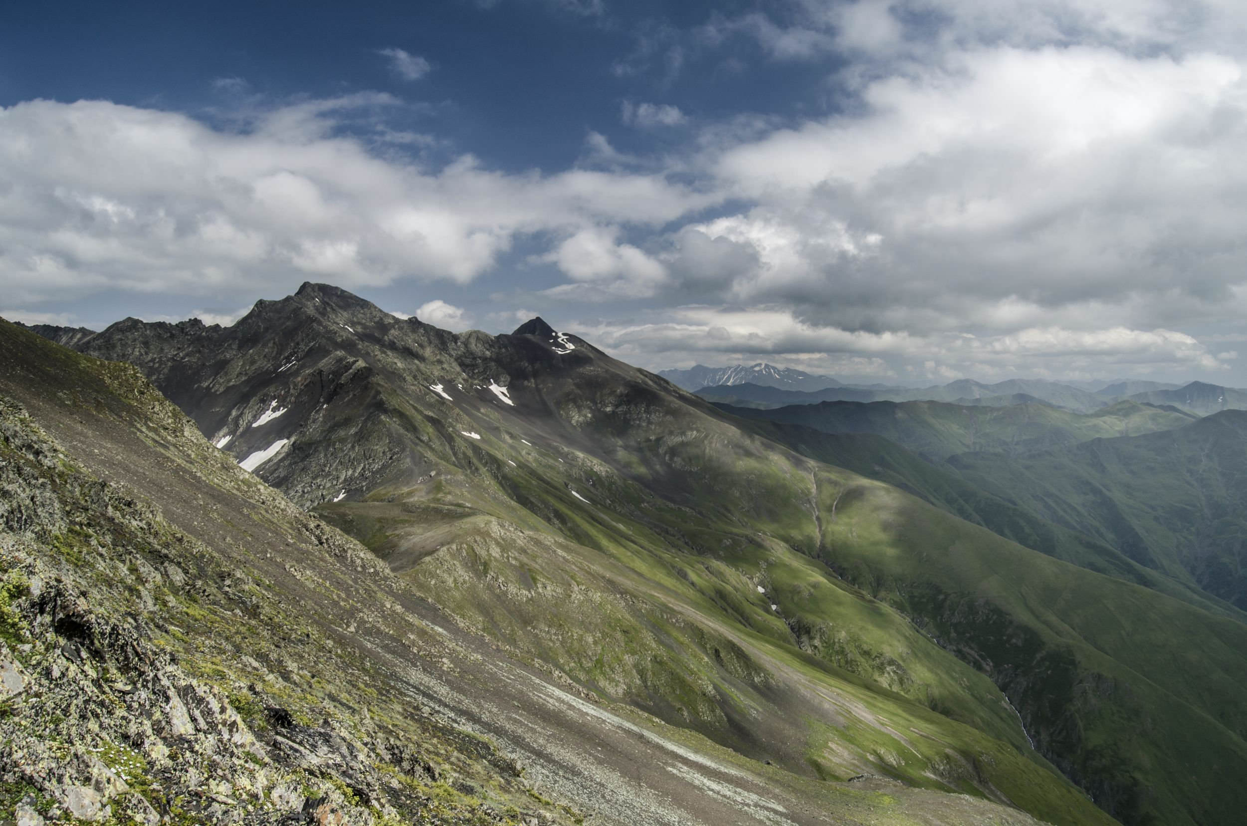
Main ridge near Kistanistavi peak
| Distance | 30,8 km |
| Trail type: | AB trip |
| Max. elevation: | 3116m |
| Min. elevation: | 1606m |
| Total climb: | 2197m |
| Total descent: | 2427m |
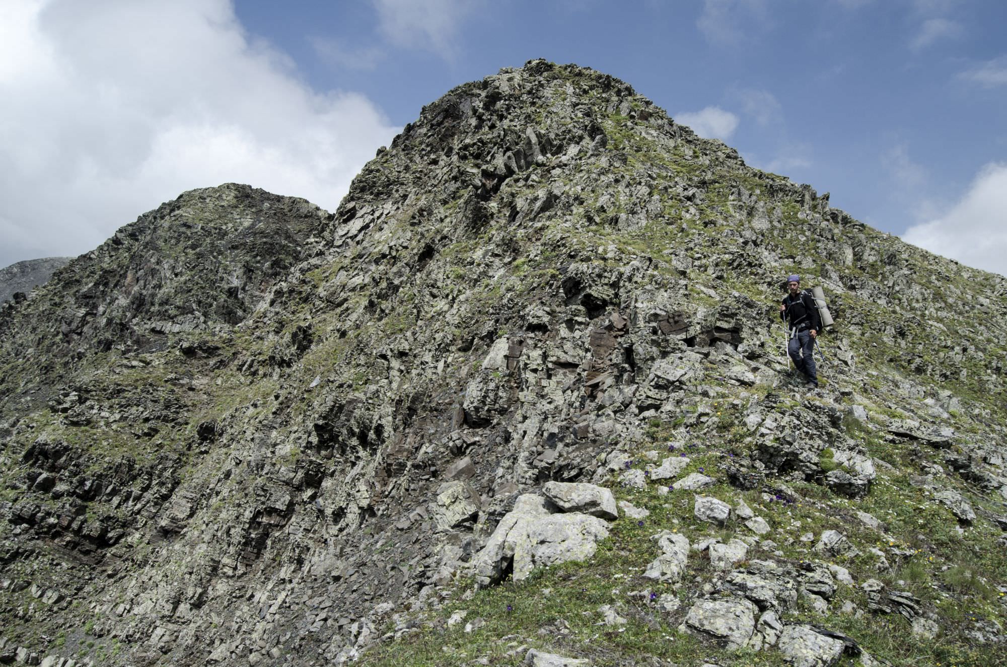
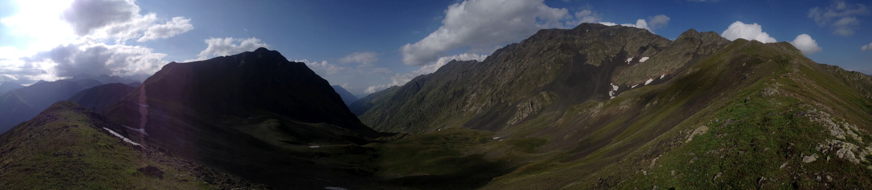
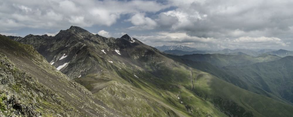
The day starts with a steep ascent, altogether more than a 1000m. There is no marked path, most of the time you walk in grass, so you have to be careful and go in a right direction – head towards the ruins of the medieval towers. Then you have to continue, always staying on the ridge, until you reach the first peak (we marked it as Lucia Peak in the gpx log, it has no name on the maps; it has 3061 on maps - if someone knows a real name, will rename it).
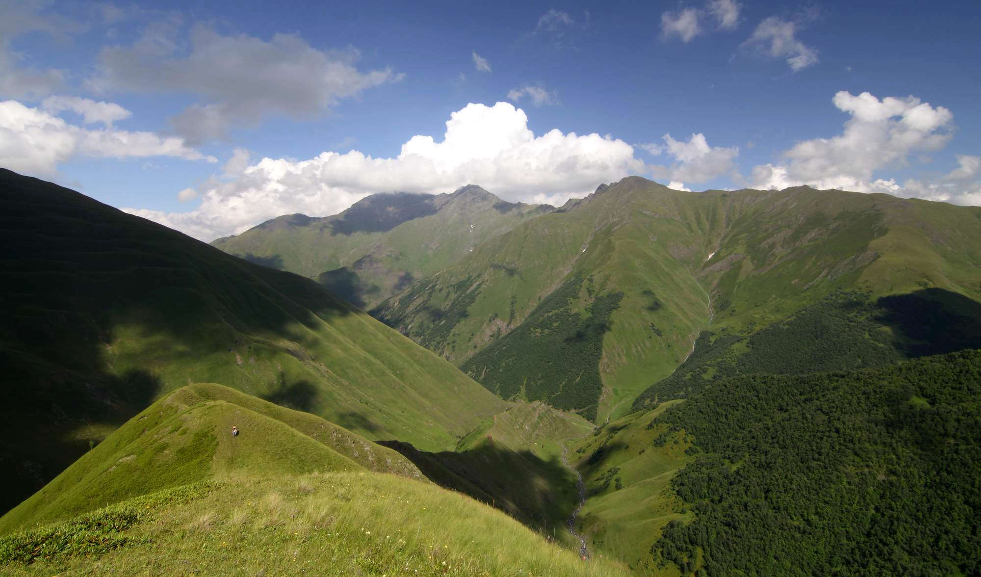
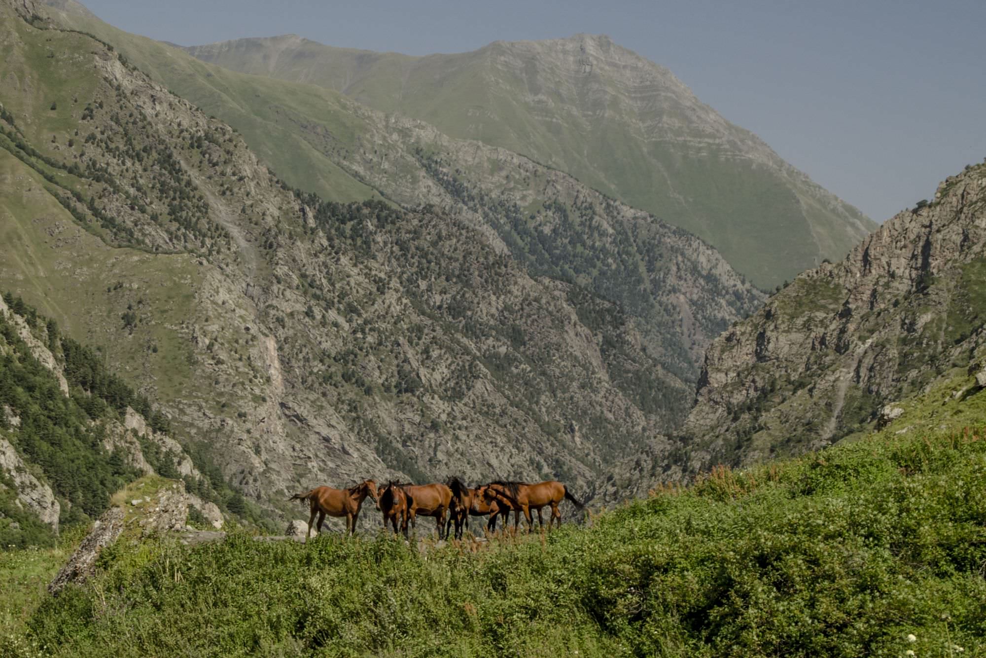
The views from the top, in a good weather, are astonishingly beautiful and good news - generally there are not many more ascents. From this point on, for the most of the day, a little path sometimes shows up and unexpectedly dissapears. You simply continue with the ridge, which takes two slight turns right. In this area, about 30min from Lucia Peak, you can spot a water spring.

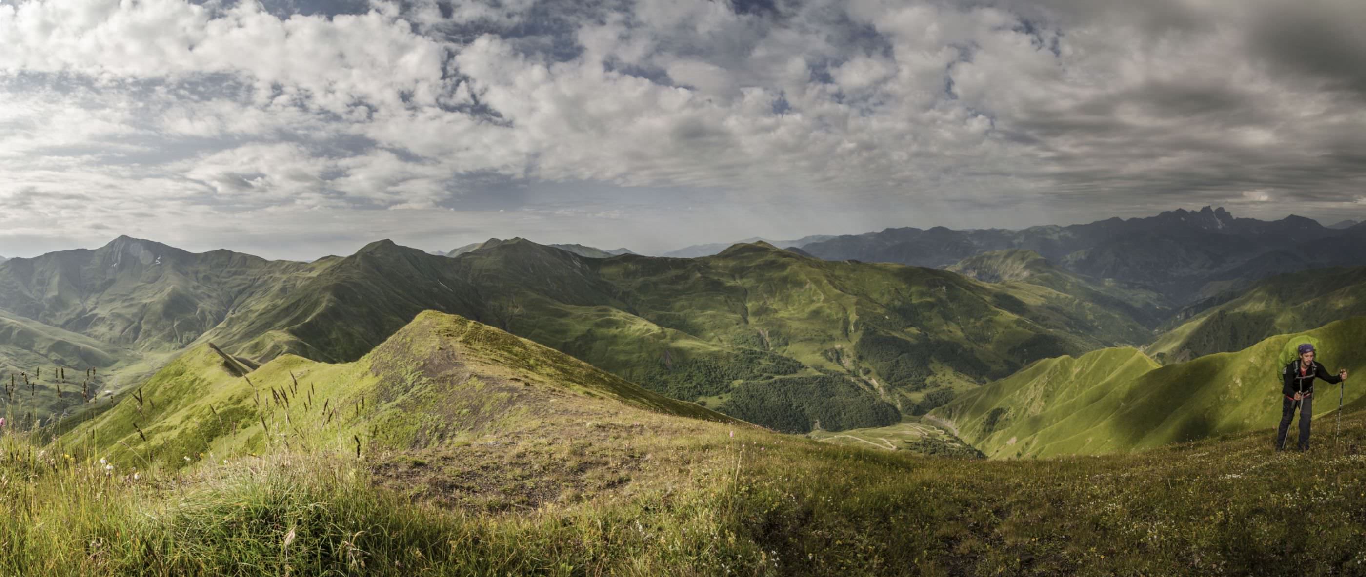
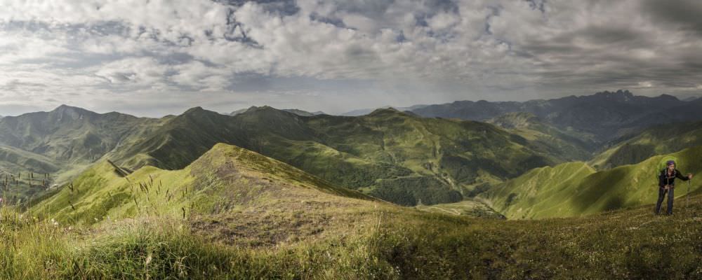
Looking back at Kistani
Continue on the ridge, past the Anatorisghele pass. Once you make it past the Mt. Aknekhi (3061m), the trail deviates to the left of the main ridge, while more or less keeping the altitude. On the right, you can see an impressive Tsroli peak (prominent, covered with snow even in the middle of the summer, seems a little sinister). After going through something like a quasi-plateau, you start a traverse of a slope, which is partly covered with a scree. Trekking poles really come in handy, this (not long) part will be uncomfortable for people sensitive to steep slopes or exposition.
At this point you can already spot a green-marked trail to Tanie lake, which adjoins the route. It is a good idea to head towards it and then start walking its path - it is easy to follow and leads through streams. If you plan to in the shelter at the Tanie pass, then this streams are the last convenient source of water.
The trail starts slowly climbing again and leads you towards the Tanie pass, where you shall find a newly built hiking shelter. There is no water nearby, but apart from that, it is an ideal spot to spend a night.

The new hiking shelter at the Tanie pass
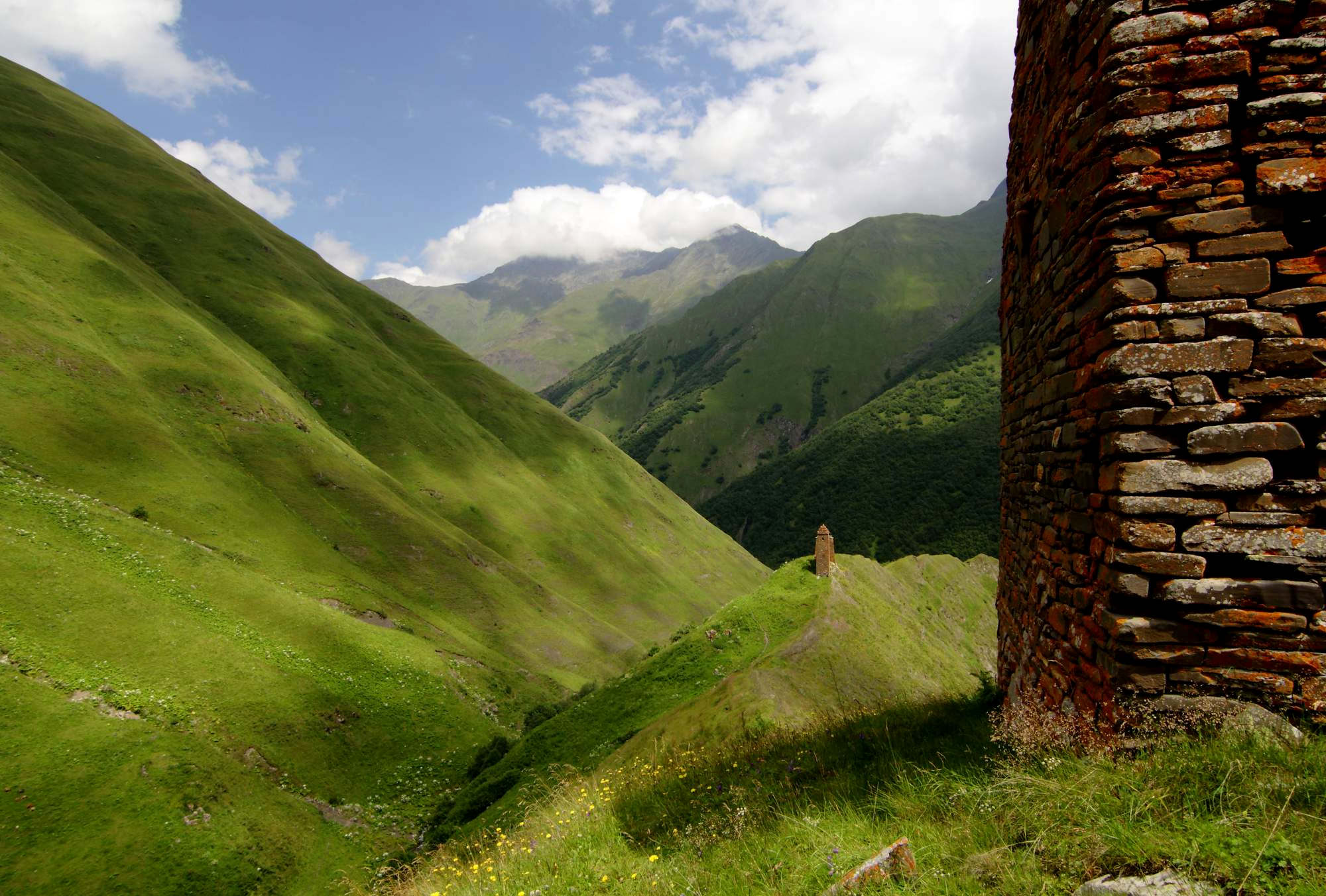
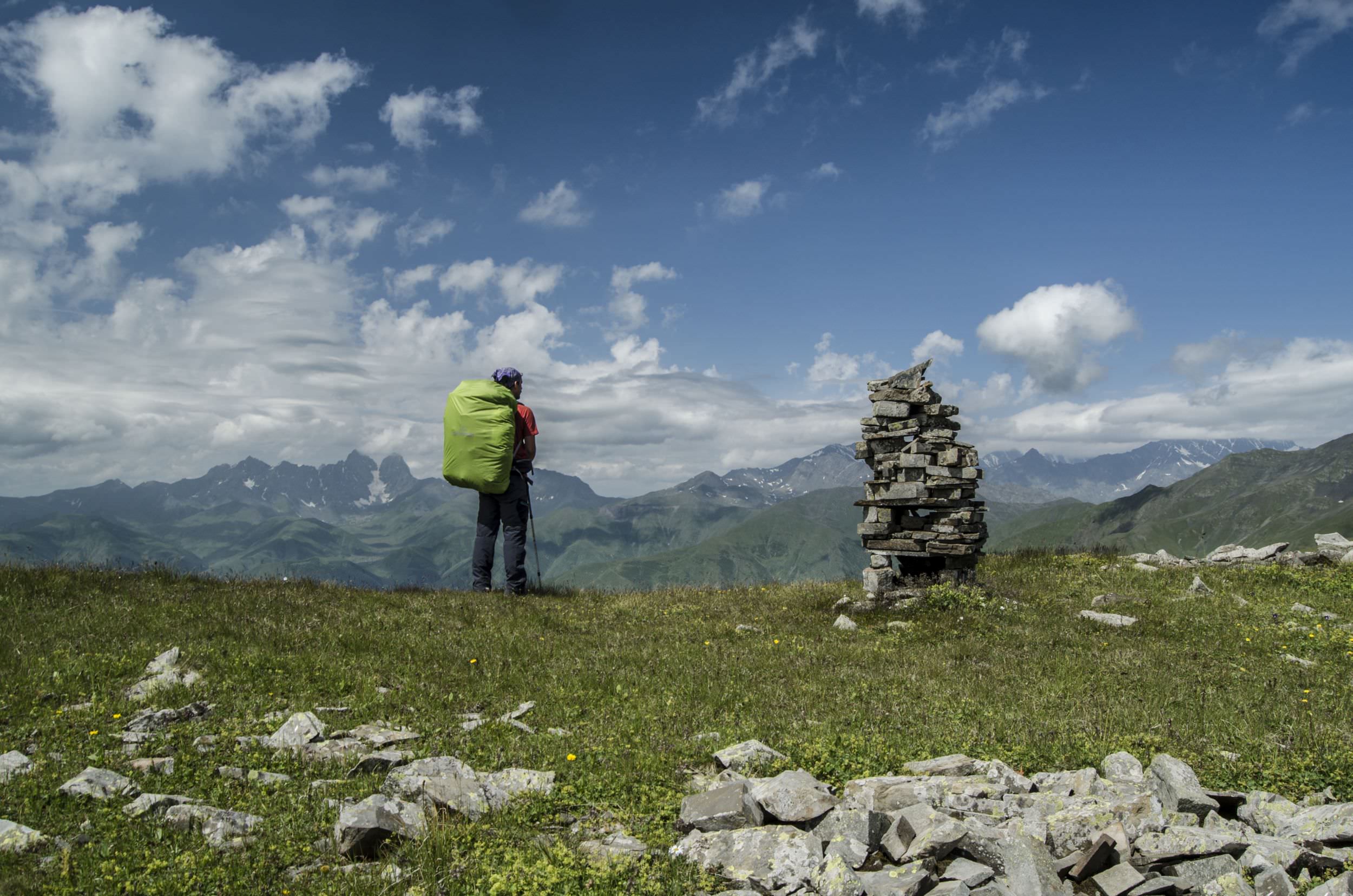
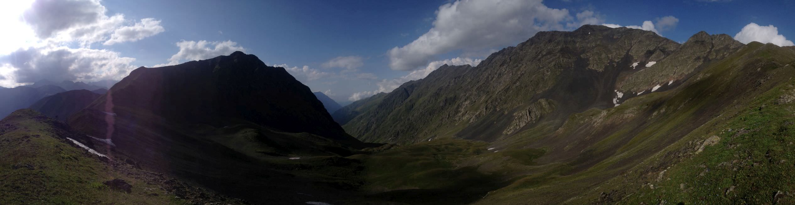
Once again start walking with a ridge. You can run around the hardest, rocky parts of the ridge going to its left and traversing the slope. Once you are past this section, it's only a short walk to Kalotanasghele pass – it is huge and stunning.
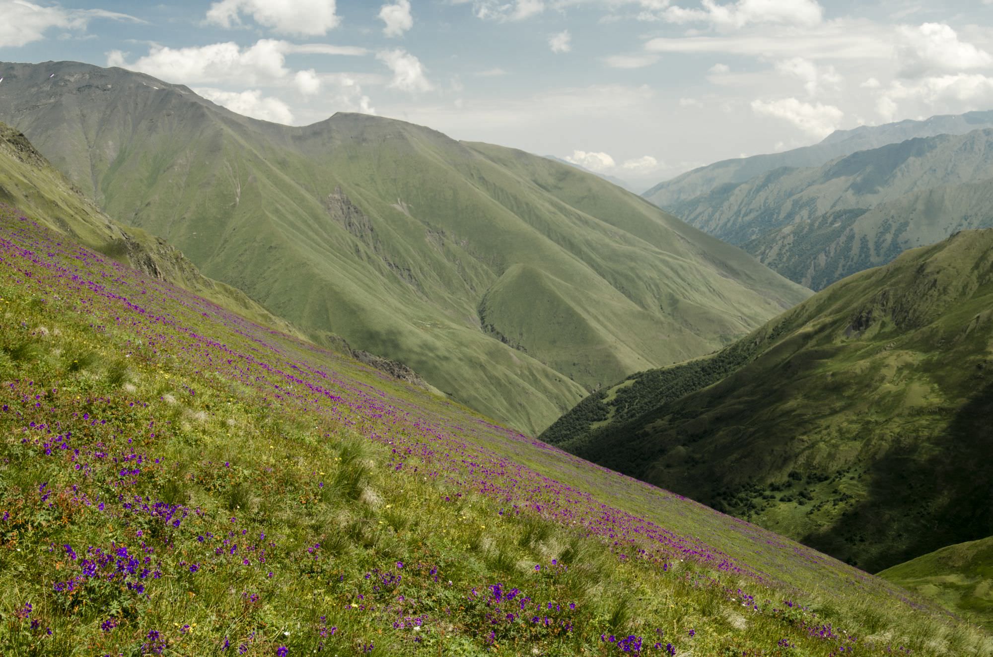
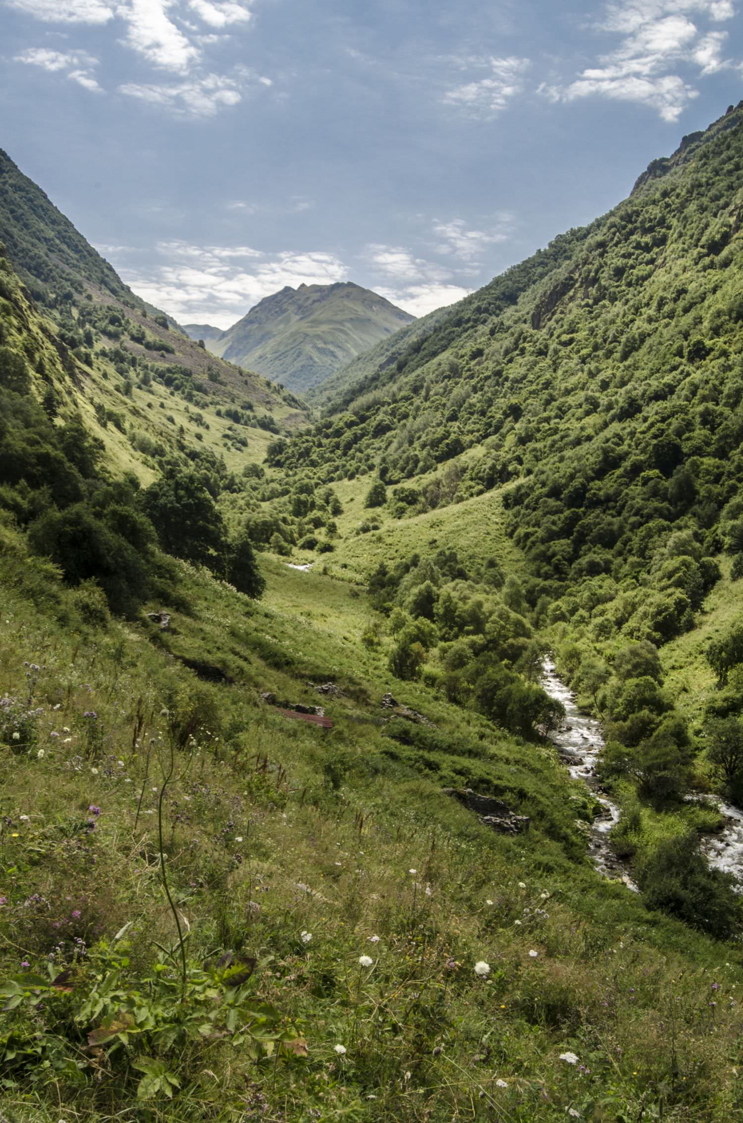
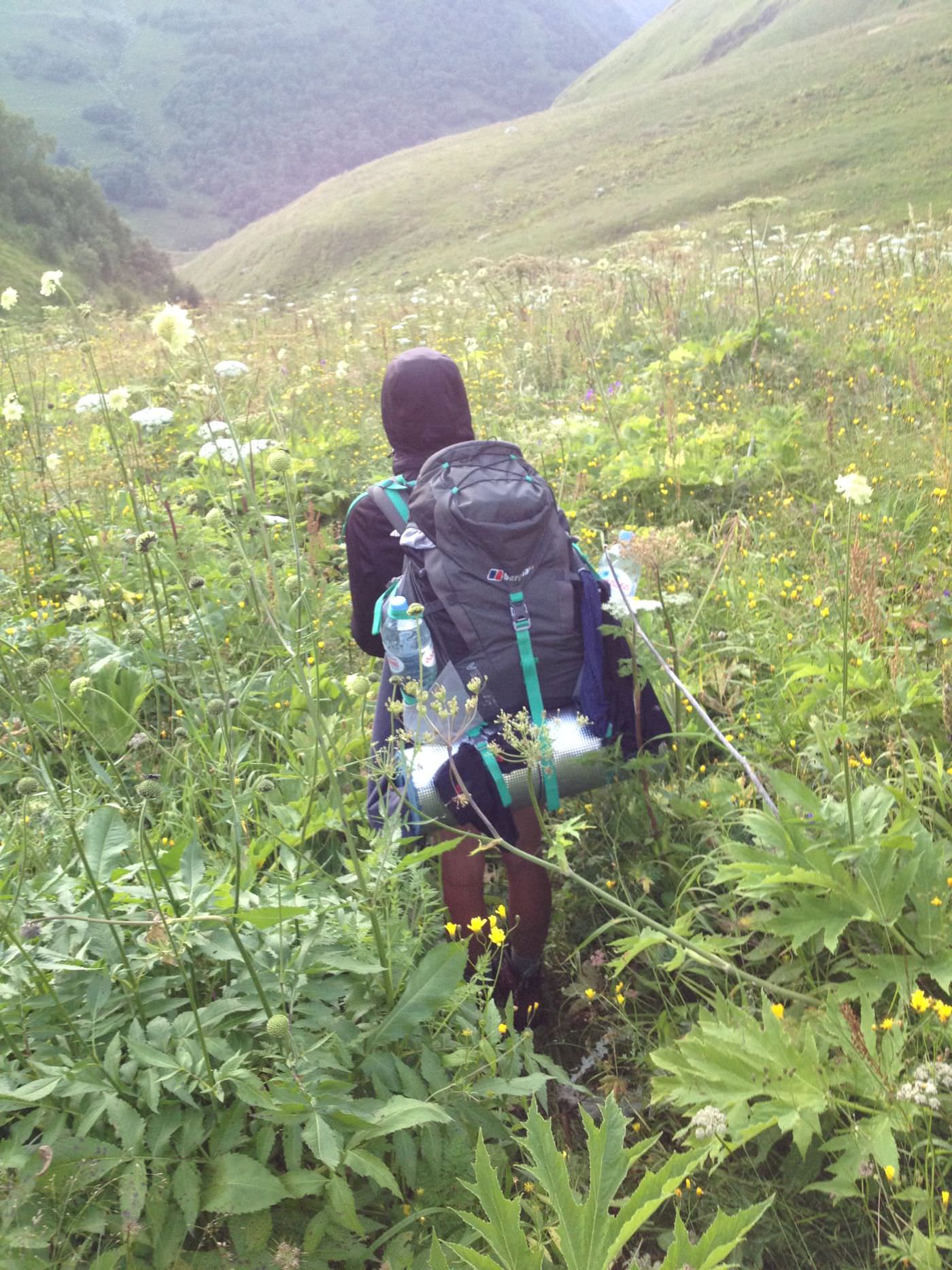
Here starts the descent into the Tskarostavi valley – about 1300m altogether, but the slope is not very steep so it isn't very tiring on the legs. Just below the pass, you can spot a path that leads through dense (sometimes more than two meters high) bush.
There is no other way down - just try to follow the trail, repeatedly losing and finding it again. Very, very few people ever venture here, and it shows - it is good to have trekking poles and also clothes with the long sleeve.
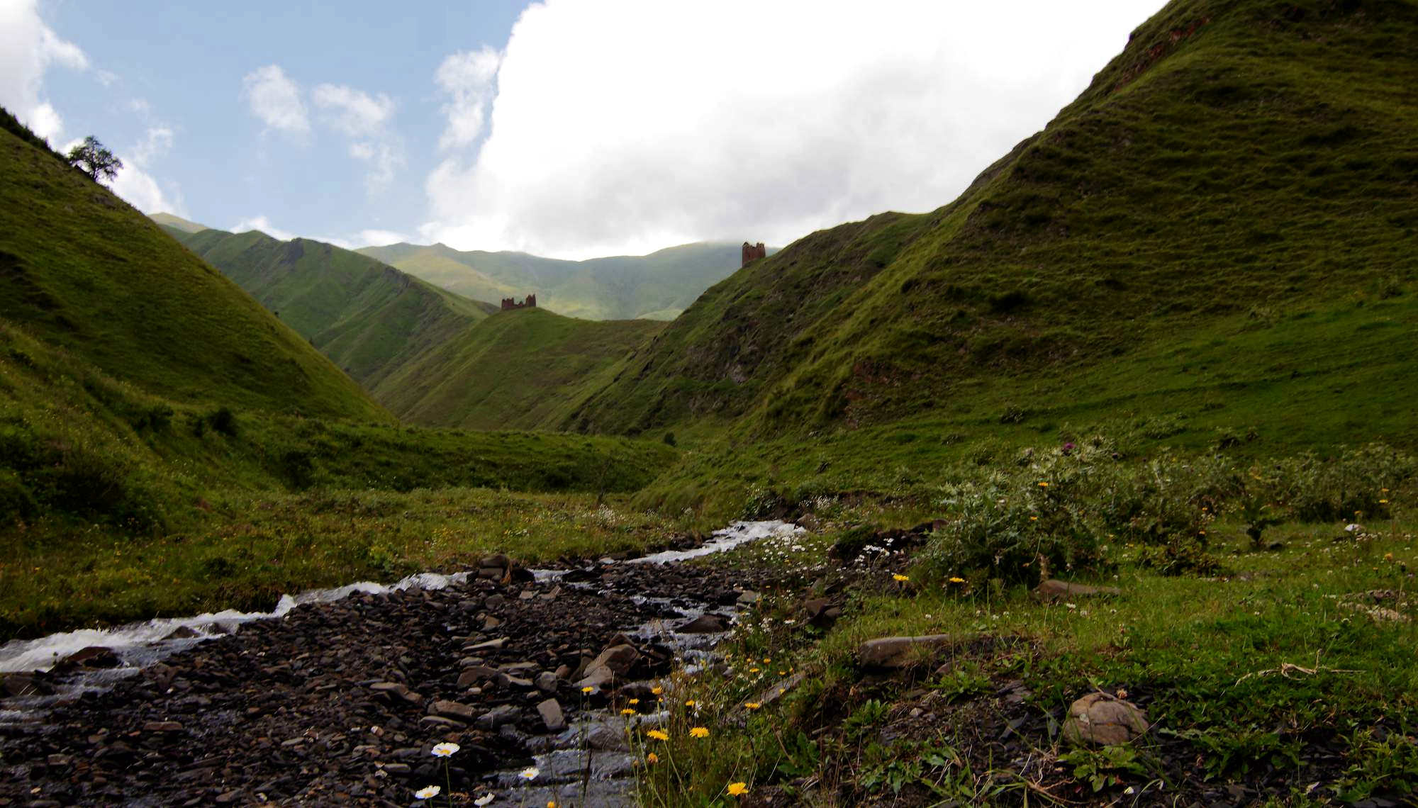
After the river shows up, stick to its right bank all the way down until you come across the bridge, that gets you to the other side of Asa river. Then, the path turns left and from now on the trail is marked red with the markings which are usually visible. It leads on the right bank of the Asa river, which we cross at the Amgha village (no shops or official sleeping places).
Go through the village and head to Akhieli following (more or less) the electricity network (the markings are not that consistent around here, so the best option is to find your own way, sometimes you can use the streambed). In Akhieli you can sleep in one of two hotels or buy bread and cheese (bread – 4 GEL, >0,5 kg cheese – 8GEL, very tasty), as well as have coffe or tea.
For camping, we recommend to leave the village behind and set up about 500m further, near the path, at the river bank. There are only few people there, views are beautiful and the terrain is flat. Water is available only from the river (the stream before Akhieli is not very clean), we drank it boiled, and we are still alive (September 2016).
Note: I know a group of hikers which from Kalotana pass didn't descend into the valley to the north, but followed main ridge further to the west, to the Arkhotistavi pass. I am not recommending it as this route is rocky and exposed, could be very dangerous during a storm. But in case someone is curious whether it's doable - yes, it is.
Kalotana pass
This original article was written by Polish hikers Julia and Olgierd, who finished the trail in 2016. Then I updated it in 2025. Thanks a lot!
Photos were provided by them and by Jana and Martin they met on the road. And later by Bastien.