Nice day hike towards the ruined fortress situated by the Russian border.
Nice walk from Kvemo (Lower) Omalo to Diklo fortress with nice view in all directions. The path passes through beautiful, rustic Shenako village and there is also possibility of a detour to the lonely tower called Fortress of Love (more in Tusheti sights).
If you want to return by foot, you will need a whole day.
Reasonable distance (11 km), no major elevation gain. If you return on foot the same way, difficulty is moderate.
You need to return by car or on foot - walking there and back is doable in a day but it´s quite a distance. For hikers there is an interesting alternative, if you want to make a loop around Tusheti - in a day you can walk directly to Dartlo through Chigho village, path starts a little south from the village.
By jeep:
There is no public transport to Tusheti. To get to Omalo, you will need to hire a driver with 4WD. If you are traveling from Tbilisi, you will first need to get to Kvemo Alvani village - this can be done by marshrutka or a taxi.
The marshrutka departs from Ortachala bus station in Tbilisi at 9.am and arrives at Alvani two hours later (price 20 GEL). Drivers are used to tourists and often arrange them further transport to Tusheti. Just confirm with the driver that he is going all the way to Alvani, they sometimes try to drop passengers in Telavi in order to make them hire another taxi to Alvani. Or they simply want to hook you up with the jeep driver from Telavi but that is OK if the price is right.
If you want to take a taxi from Tbilisi to Alvani instead of a bus, the price can be anywhere 100 and 150 GEL (it grows with your distance from the Ortachala station :))
In Kvemo Alvani, the bus or taxi will drop you at the main (and the only) junction. This is the place from which depart jeeps to Tusheti so if you get here before noon, you should be easily able to hire a driver.
The ride to Omalo takes about 4-5 hours and costs about 100 GEL per passenger (or about 350-400 GEL for the whole jeep). BBC once placed it among the "10 Most Dangerous Roads in the World", but with a good driver, it definitely doesn´t feel like that. In navigates pretty steep mountainside but the road is usually wide enough and unless you are passing another car and need to navigate to the very edge of the road, there is no reason to feel nervous. Still, the accidents happen here and the road claims a few lives every year. Therefore, even if you have your own car, for this stretch of the road, it may be better to use the service of the local driver.
Since July 2024, there is also another, rather comfortable option. A popular Georgian transport provider, GoTrip.ge, added Omalo into the list of their destinations. Only a few of their drivers offer this route yet, but that shall eventually change. And the prices they offer are pretty decent - the cost of a drive from Tbilisi all the way to Omalo start at around 450 GEL.
By hitchhiking:
Hitchhiking can be "hit or miss" since jeeps traveling to Omalo are usually booked by tourists and full. And even when they are not, tourists might be reluctant to pick someone who just walked a few hundred meters beyond the departure point and raised a thumb (especially if he is dressed up in Arc´teryx gear like a couple of "travel hackers" we saw there the last time :)). Professional drivers will rarely pick you up for free. Therefore, your best bet will be locals heading to Omalo for a visit - but it may take a while until some show up.
Another option is the Kamaz truck which brings supplies from the lowlands to Omalo. These drivers usually pick up passengers for a symbolic price but the truck has no fixed schedule. It departs like each other day in the morning, so it can´t be relied upon.
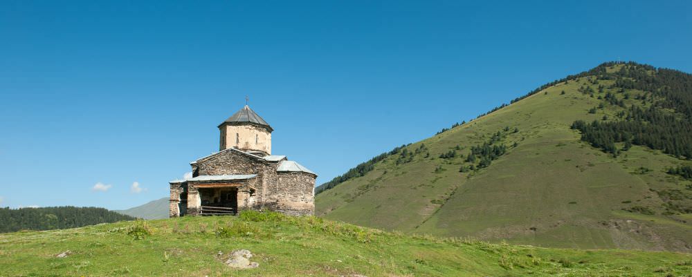
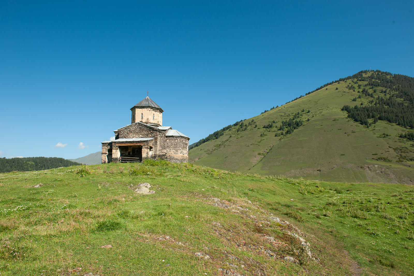
St. George's church in Shenako
| Distance | 11,2 km |
| Trail type: | AB trip |
| Max. elevation: | 2206m |
| Min. elevation: | 1666m |
| Total climb: | 659m |
| Total descent: | 382m |
The first section of this trek follows the marked path to Fortress of love, which starts at Tusheti Visitors Center in Lower Omalo and is marked by black/yellow markings. Walk to the southeastern part of the village, where the car road to Shenako starts.
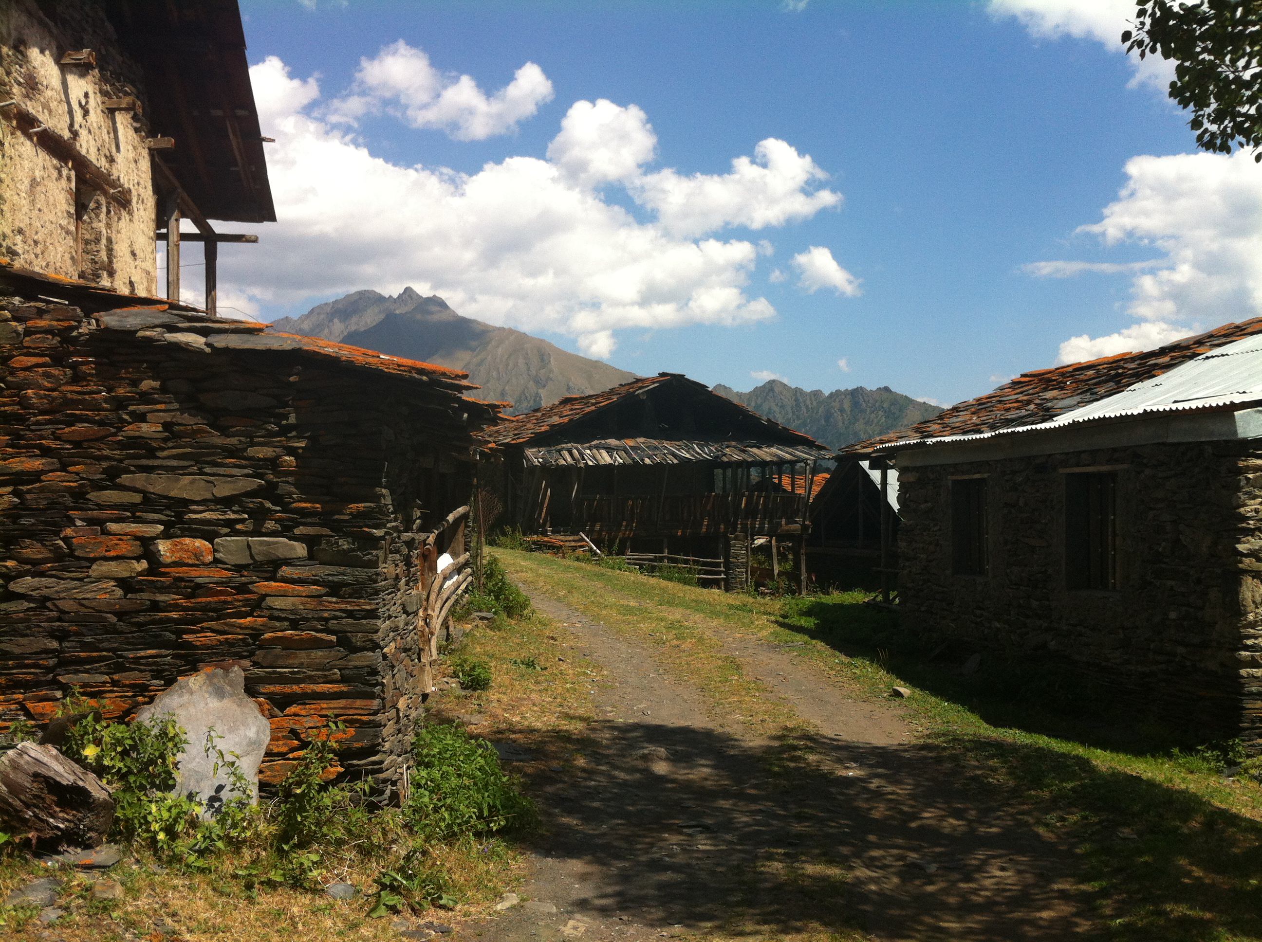
There are several buildings on the right side while remnants of the funicular to the Shenako side will be on the left. The road then descends more towards the forest. On the next crossroad, we turn sharply to the left to the information desk. Continue to keep on the road up to the sharp curve to the right. From the viewpoint here we could see so-called Love Fortress on the opposite river bank as well as bezoar goats or chamois if you are lucky. From the viewpoint continue on the road further down some 50 m. Here the trail leaves the car roads - it turns left to the hollow way down the hill. The trail follows the hollow way down turning to dogleg path up the old Shenako bridge. The bridge used to be in a bad condition but got repaired in September 2019. So even if you read somewhere that it´s broken, worry not. When it gets broken again, I will know it soon enough.
Not far beyond the bridge, there is a crossroad, where you can turn left following the contour line to the Love Fortress or you can continue straight up the hill to Shenako. If you want to go to the Love Fortress, turn left on the crossroad and continue slightly up following the contour line until you reach the rocks. Go through the rocks and go down through steep hill. After that follow the contour line again on the left hillside, you will see the river under the hill on the left. You will keep slightly up and down, but follow the same direction, do not turn right nor left. You will pass two rock fields consequently. After the second rock field app. 100 m the terrain will rise, turn right up to the hill and keep climbing up, you will see the Love Fortress tower on the left, so climb there). You return the same way back to the crossroad and then you can continue to Omalo or Shenako.
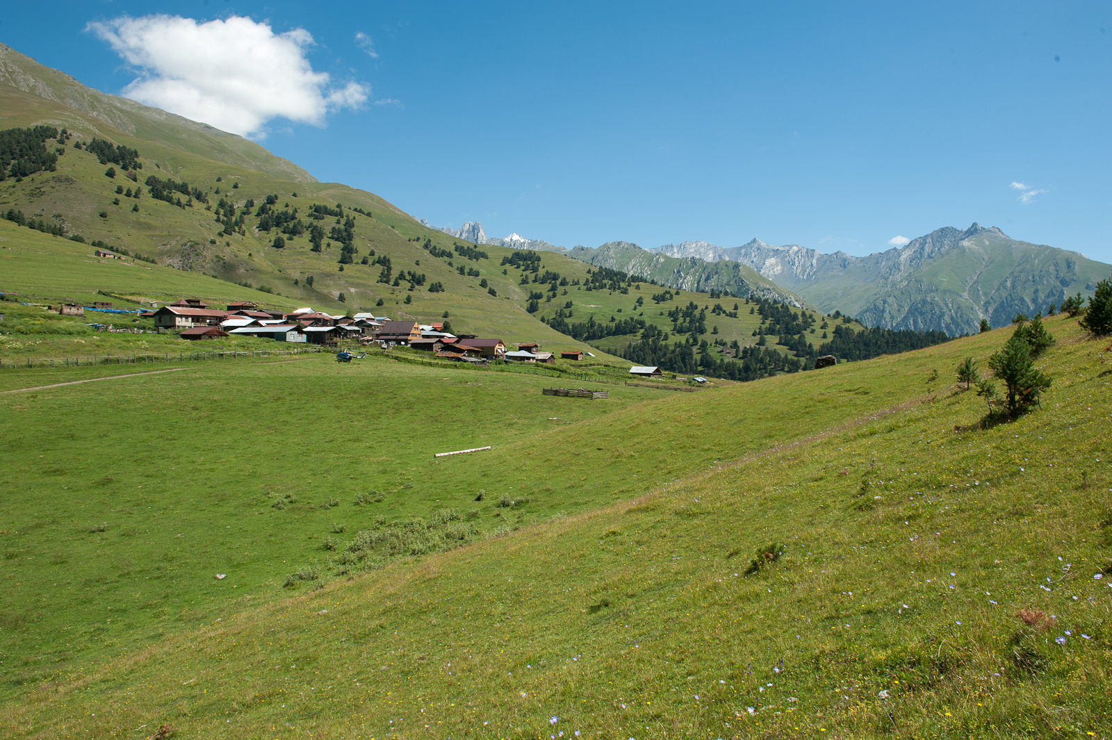
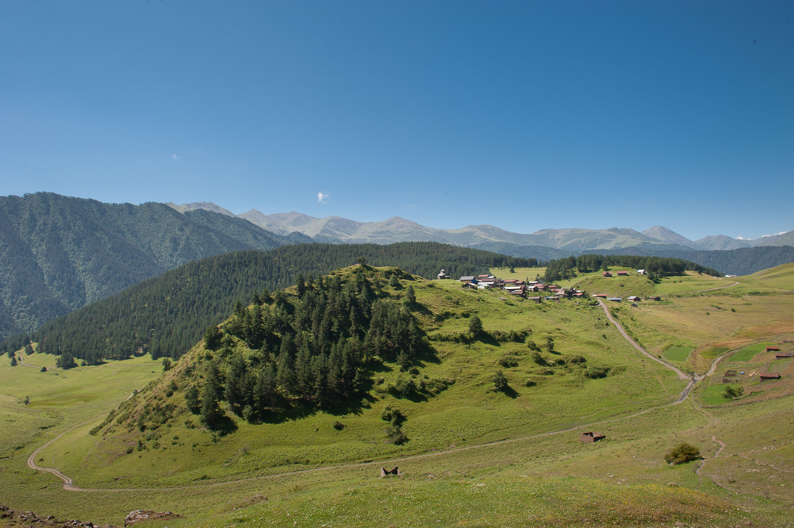
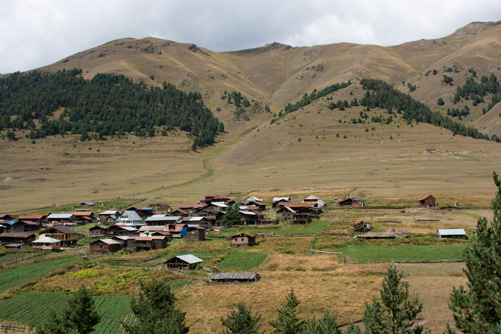
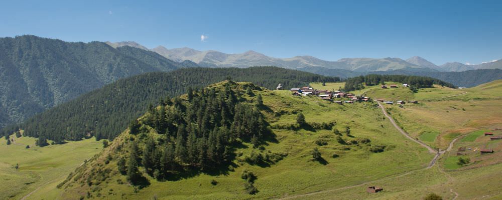
To get to Shenako, follow the original direction from the footbridge. There is the road in the forest, it turns slightly right, then left, but keep on the road, do not turn away. After app. 500 m you will come to the small meadow, cross it and you will reach the car road. Follow it to Shenako - one of the most beautiful Tush villages with rustic houses, church, and brewery.
Car road skirts the Shenako village from the left side, so it worth it to make a detour and explore it a bit. The most famous landmark of Shenako is local St. George´s church, the only church in Tusheti. There are also several small restaurants (some might be even open), a museum and so on. If you ask about "aludi" beer, someone might even direct you to the local microbrewery.
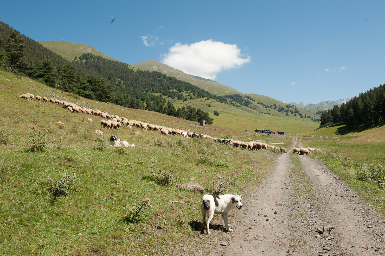
Once you are done, return to the car road and continue north towards Shenako - the trail soon joins a small creek and follows it up the valley. This area is known for some aggressive shepherds dogs, guarding flocks grazing on the surrounding hillsides.

Views of Diklo fortress from the alternative trail
In the middle of Diklo village, there is a shrine women shouldn't approach, please respect that. Follow the road straight from the village, you will see information table and Old Diklo on the right, which is visible in the distance on the right. The trail continues following the contour line on the hillside, do not turn left nor right. You will cross river Tischulischevi and a small stream.
Keep following the trail on the hillside to the next small stream, where you can see a memorial - two people went to Diklo and were killed by the avalanche in the USSR times. You will reach the farm on the right side of the road, you can meet the shepherd dogs there, so be aware.
Follow the path on the hillside until you reach the rocks with another memorial. At the memorial turn right on the mountain range, the path turns slightly right - there is a sacred place Salotsavi at N 42°23´56,7´´ E 045° 42´08,6´´, women pls do not approach it. The trail continues through the small forest. You will cross the forest, still in the same direction and you will see the Old Diklo ahead.
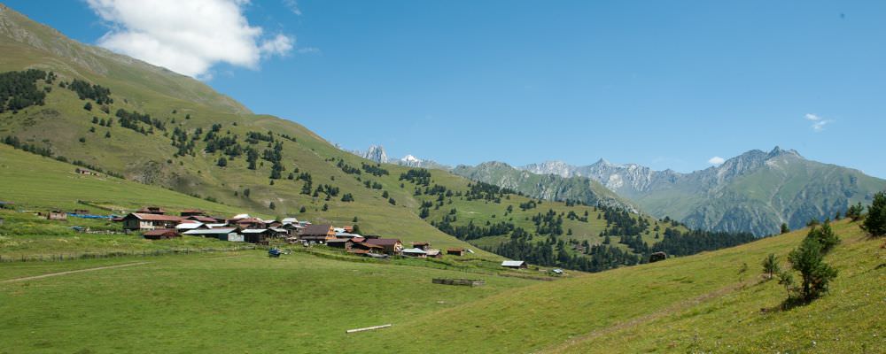
Views of Diklo village from the route to the fortress
Description of trail was mostly written by Slavomir Horak, expert on Tusheti and organizer of Tusheti Help Camp, annual volunteering event.
His website about Tusheti in Czech language can be found here.
Photos are borrowed from from this interesting article about the walk by Thomas Dekiere. Thanks Thomas.