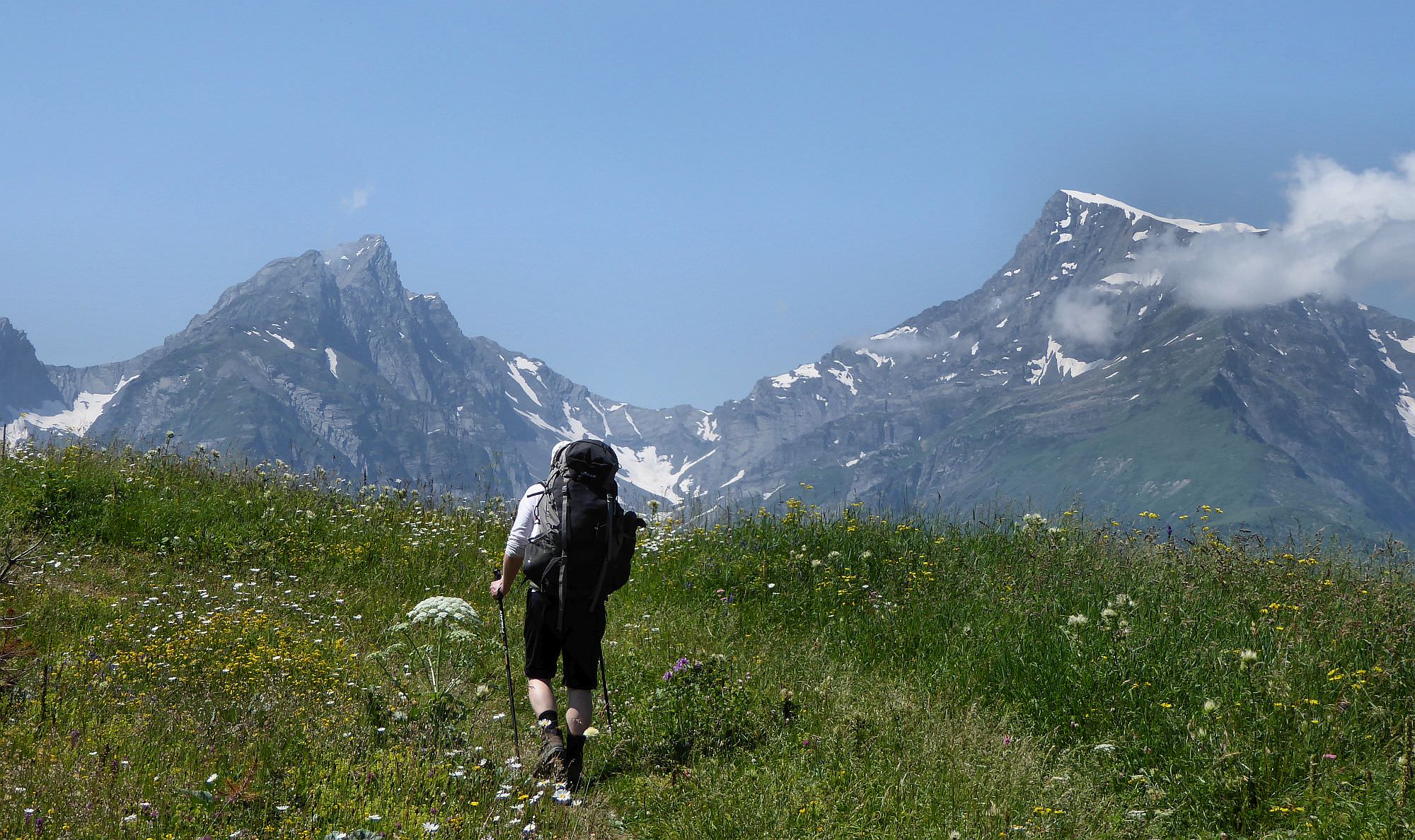
The great day hike climbing at the ridge above the Chiora village.
The great hike which follows an old dirt road climbing from the Chiora village to the northeast and follows it all the way to the upper Notsaruli valley. The walk is not that difficult and offers great 360° views of surrounding mountains. A slight disadvantage may be that you are walking on the dirt track (even though with a very little to zero traffic). But, for the same reason, it could be an excellent place for a horse trip.
This walk can be comfortably done in a day (if you carry only a daypack) so I will describe this version. 2-day variants are listed at the end of an article.
The distance is considerable, but the terrain is simple and the elevation to overcome not that big.
The bus from Oni to Chiora travels only on Thursday - the market day. It leaves Oni around 7.30 and after Chiora continues further to Ghebi. There it loads people and goes back to Oni to the market. Then, in the afternoon, it does the same route again, departing from Oni to Chiora around 4:30 pm.
And how to get to Oni? The daily minibus leaves Didube station in Tbilisi at 8 am. If you need to reach the city from Kutaisi, there are two buses a day departing from the bus station by the bridge (not the one by the McDonalds). One departs at 8:30 (ride takes 5 hours as it takes the route through Alpana) and second, much faster leaves at 2 pm (this one takes the direct road through Tkibuli). But if there is another day than Thursday, you will have to hitchhike or take a taxi from Oni - it should cost about 60 GEL.
Do not feel comfortable doing this hike on your own?
You might want to check our Racha/Svaneti trekking tour or Racha trekking tour.
Again, hard to tell. You will have to ask around, hitchhike or even pay a taxi back to Oni (50-60 GEL).
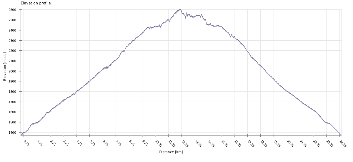
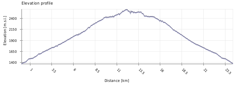
| Distance | 23,5 km |
| Trail type: | Roundtrip |
| Max. elevation: | 2601m |
| Min. elevation: | 1371m |
| Total climb: | 1477m |
| Total descent: | 1477m |
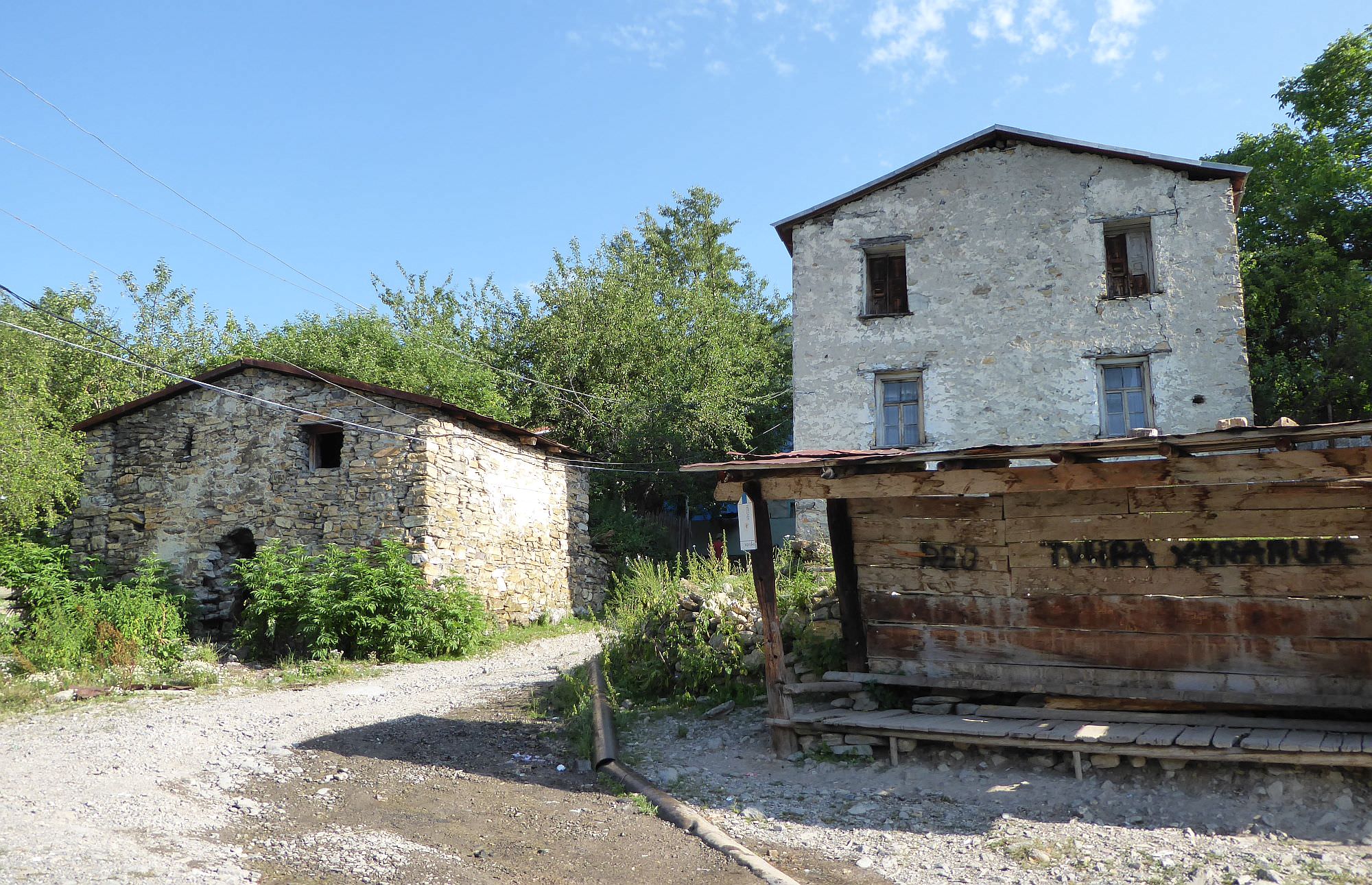
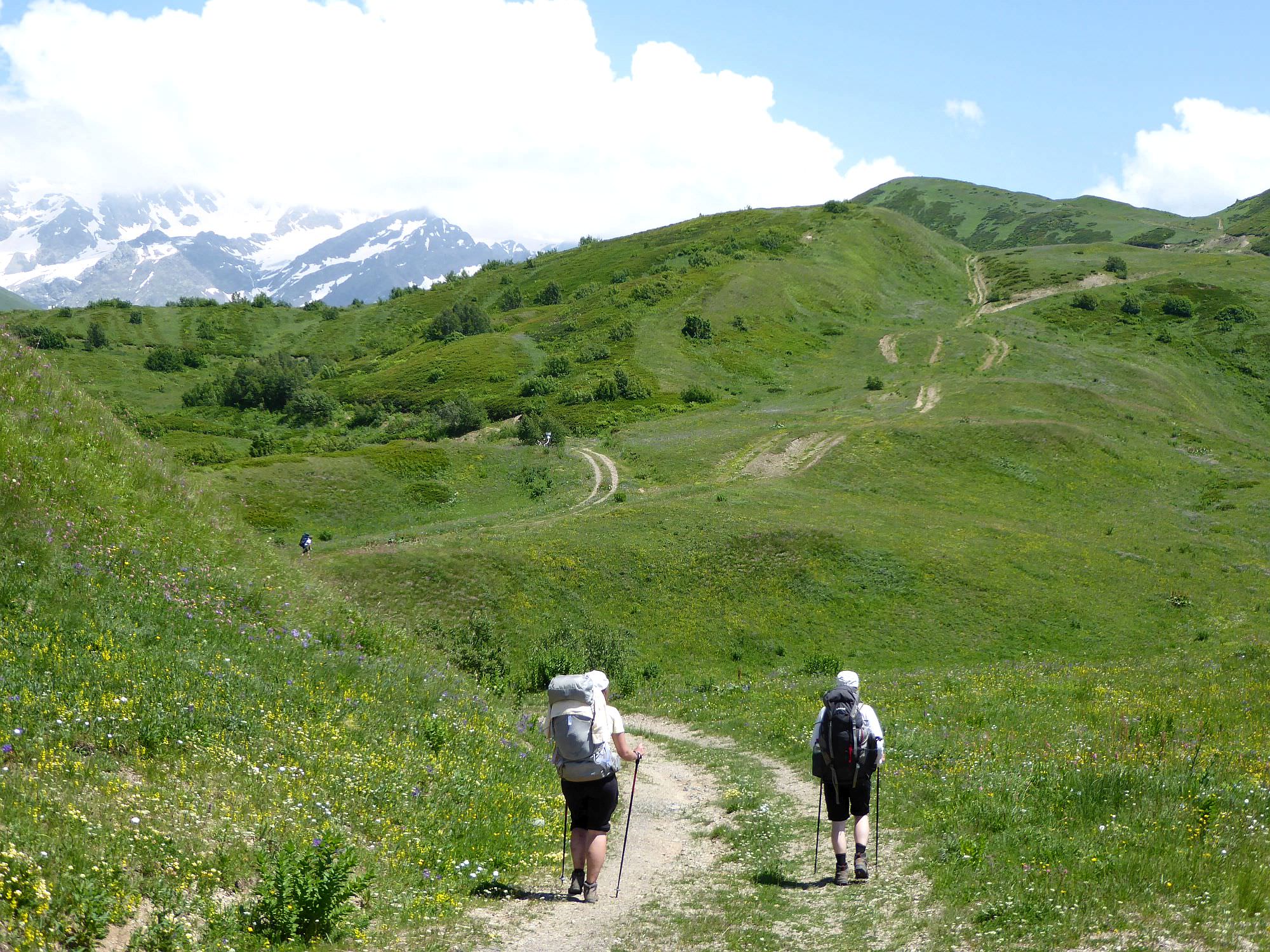
The trail starts at the main square of the Chiora village. Apart from the meeting place of the local elders, you will find here also a water spring - take enough water as you will find almost none while on the ridge. There is also a tourist pointer - the trail is marked by blue color.
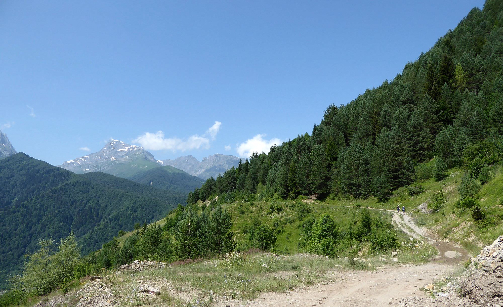
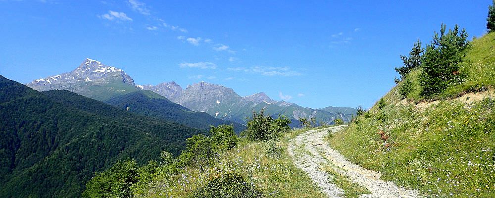
Follow the village street for almost 100 meters and when you come to the T-intersection, turn to the left. From here, the road goes more or less directly till it leaves the village. Then it crosses a small creek and climbs in serpentines to the north, entering a pine forest. On the next five kilometers, you will climb 800 meters but it isn’t that bad as the walking is pleasant and the trees offer a pleasant shade even on hot days. You will also pass several marked camping places.
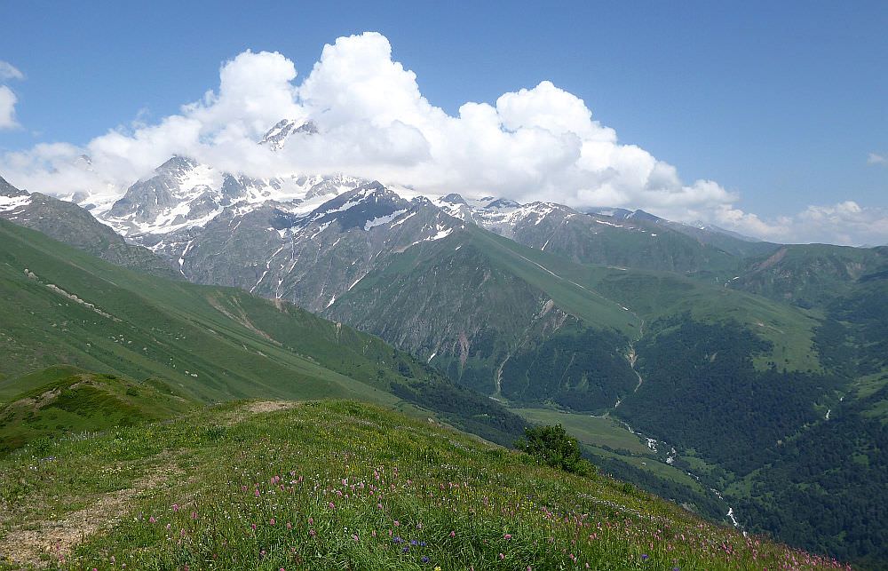
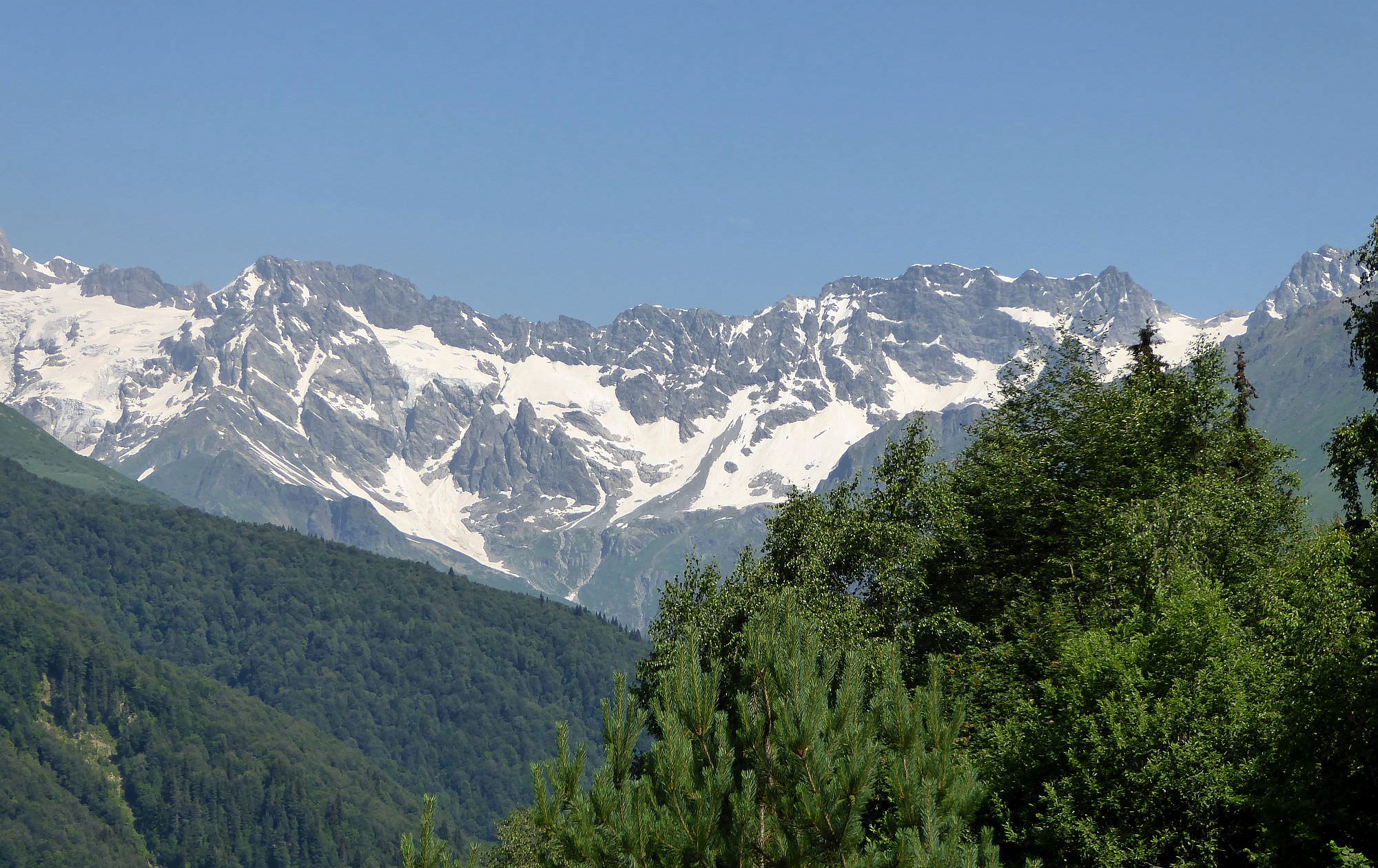
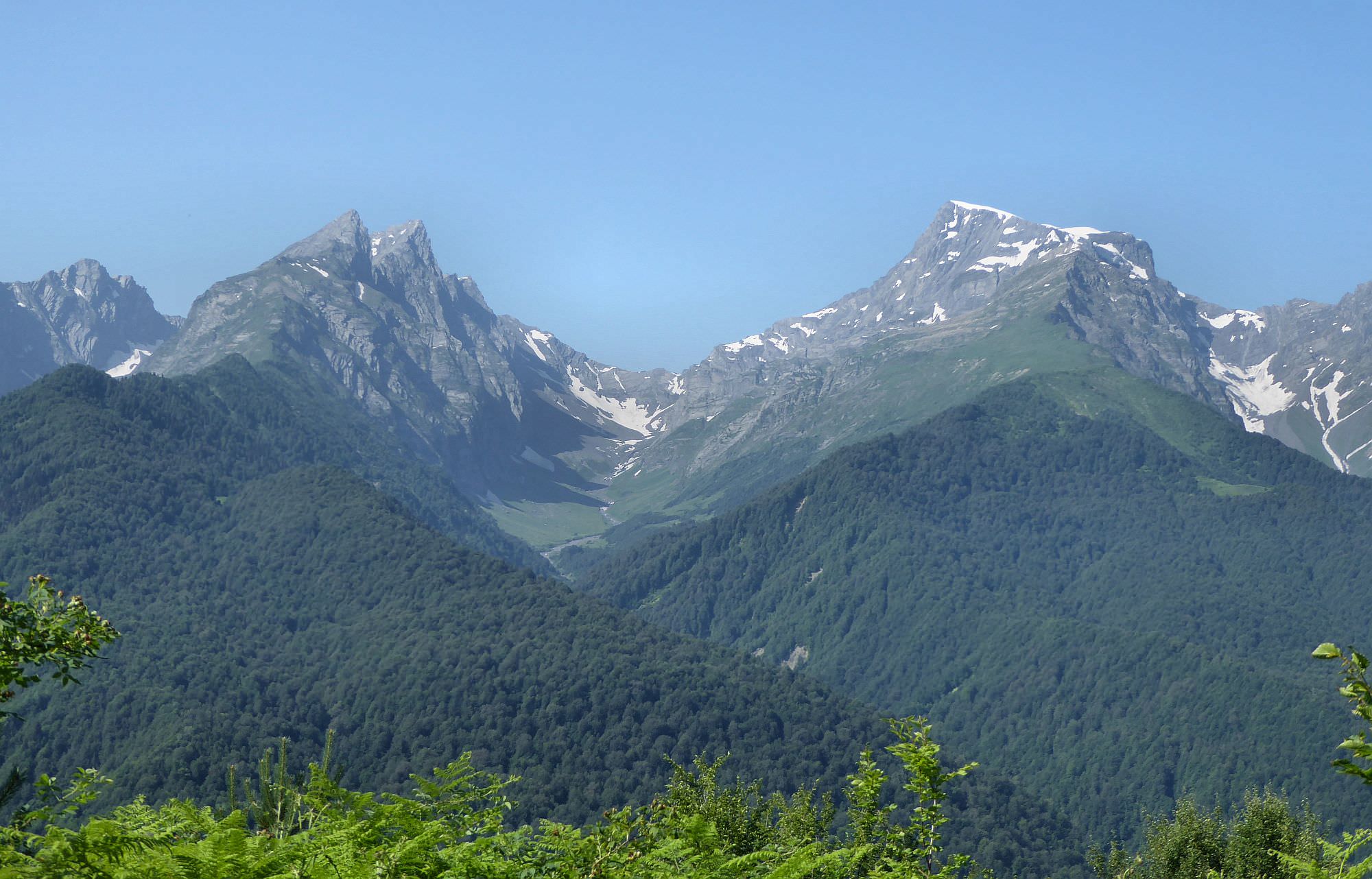
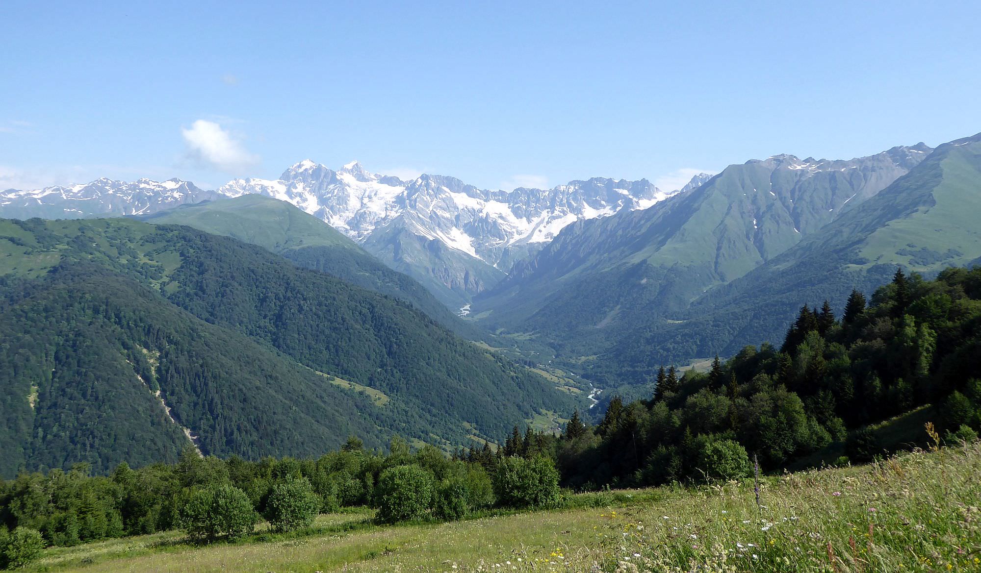
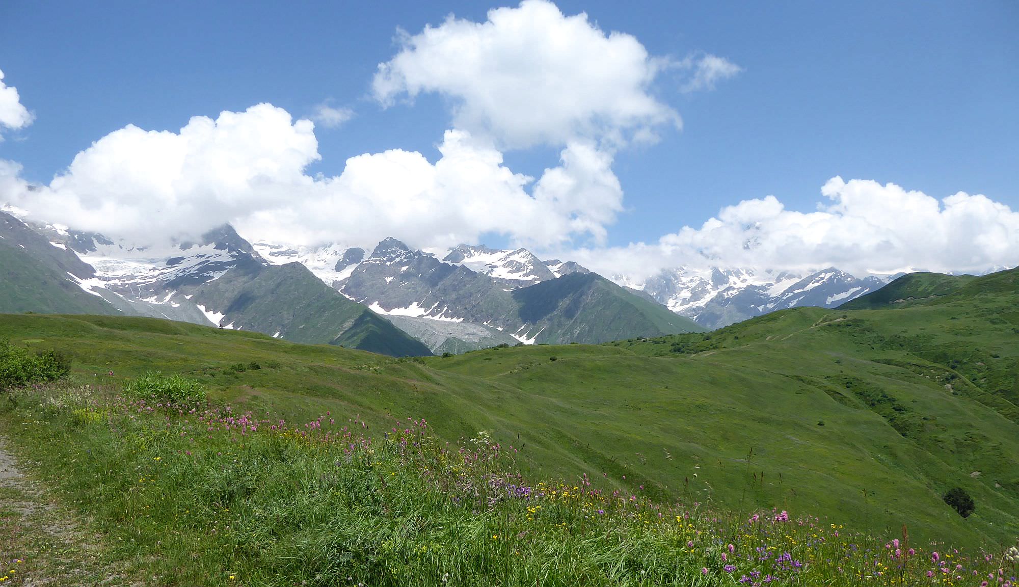
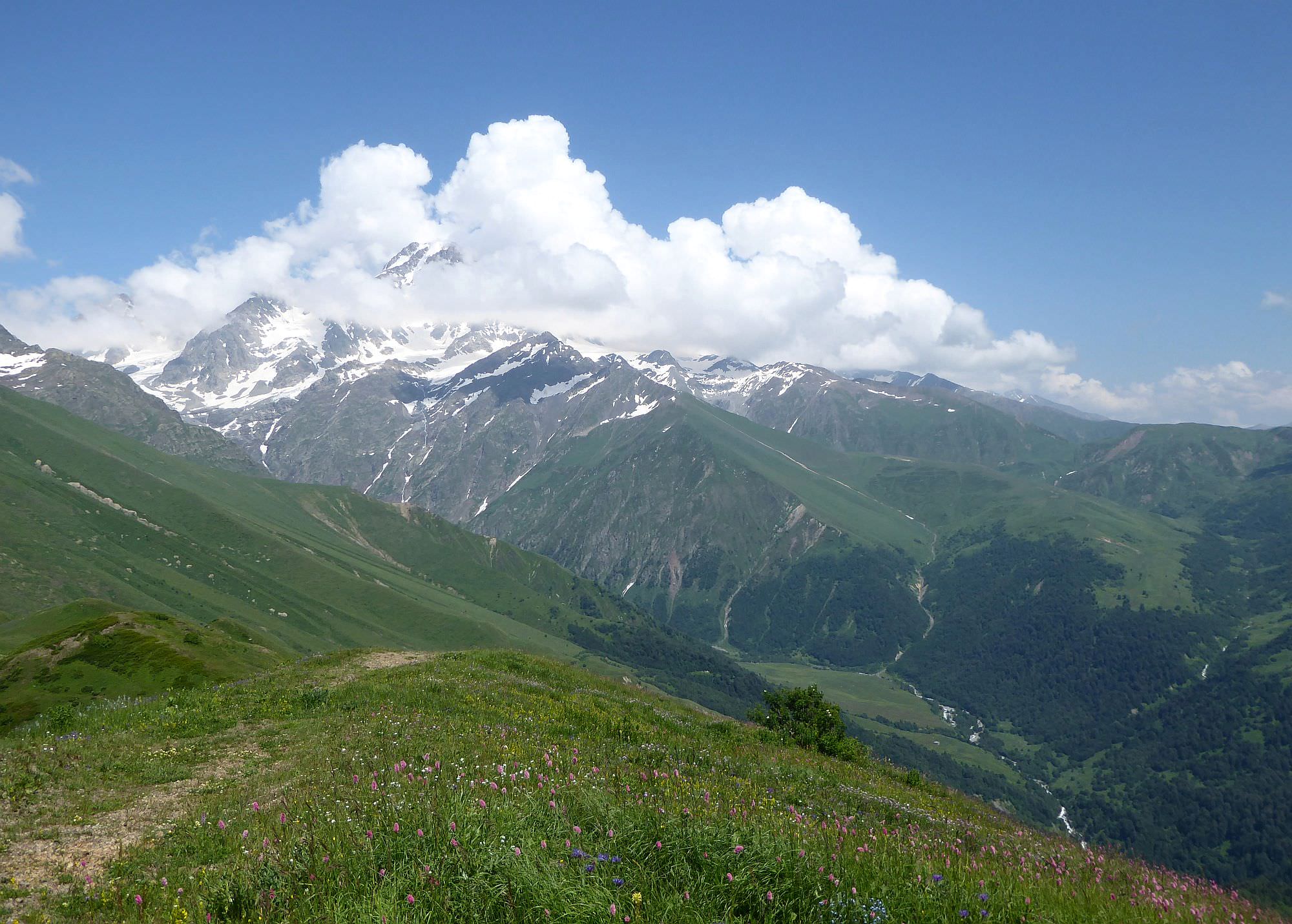
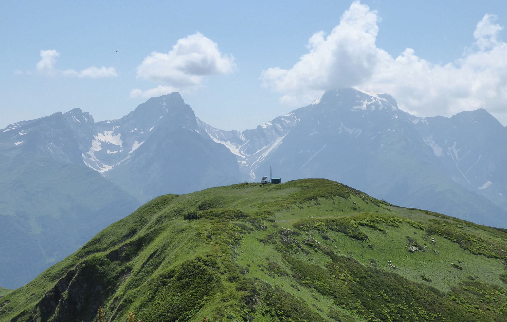
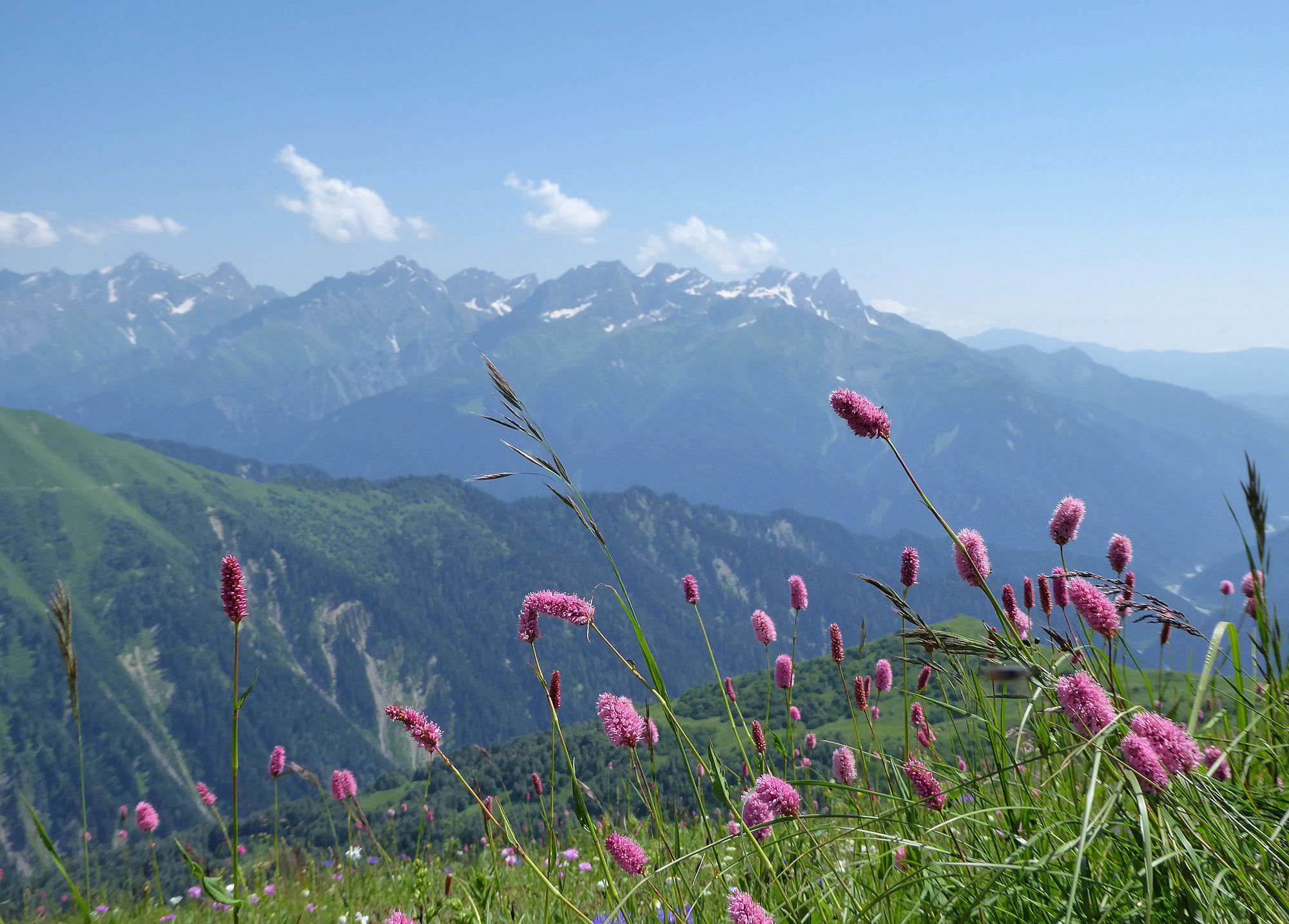
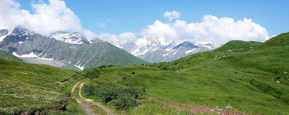
At the elevation of 2300, the road leaves the forest and you finally get the better view of the mountains around. To the north, you see the Chveshuri valley and the mountain wall dominated by Mt. Burjula, to the south lies Shoda-Kedela range with its prominent peaks such as Shoda and Lagora.
Here is also the small spring - it lies on the right side of the road, some 10 meters uphill. I wouldn´t rely on it too much as it can get dry during hot summers but if it “works”, you should be able to recognize the spot due to the puddles on the road.
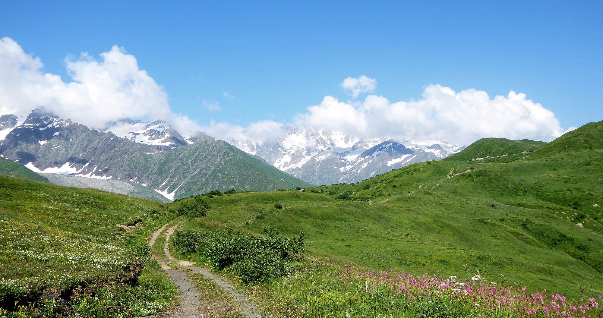
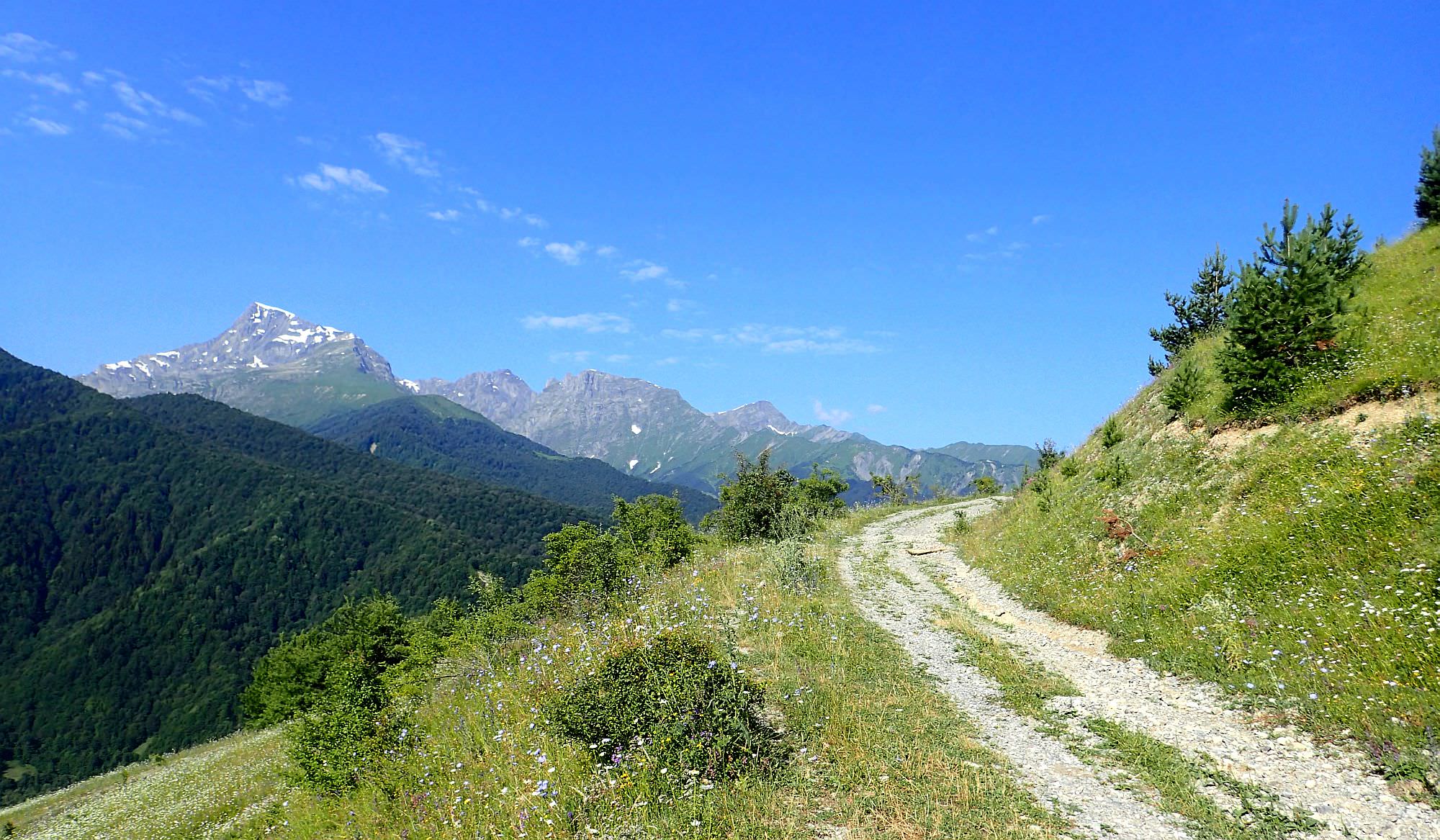
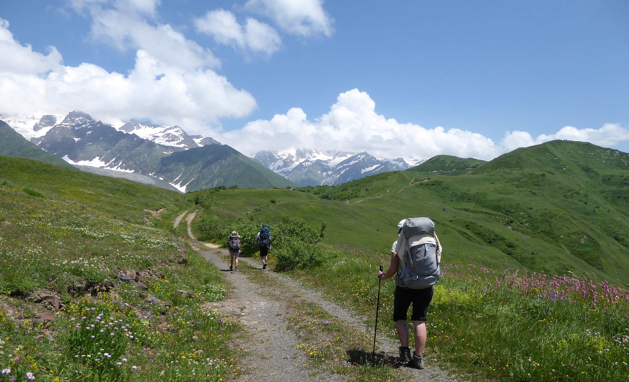
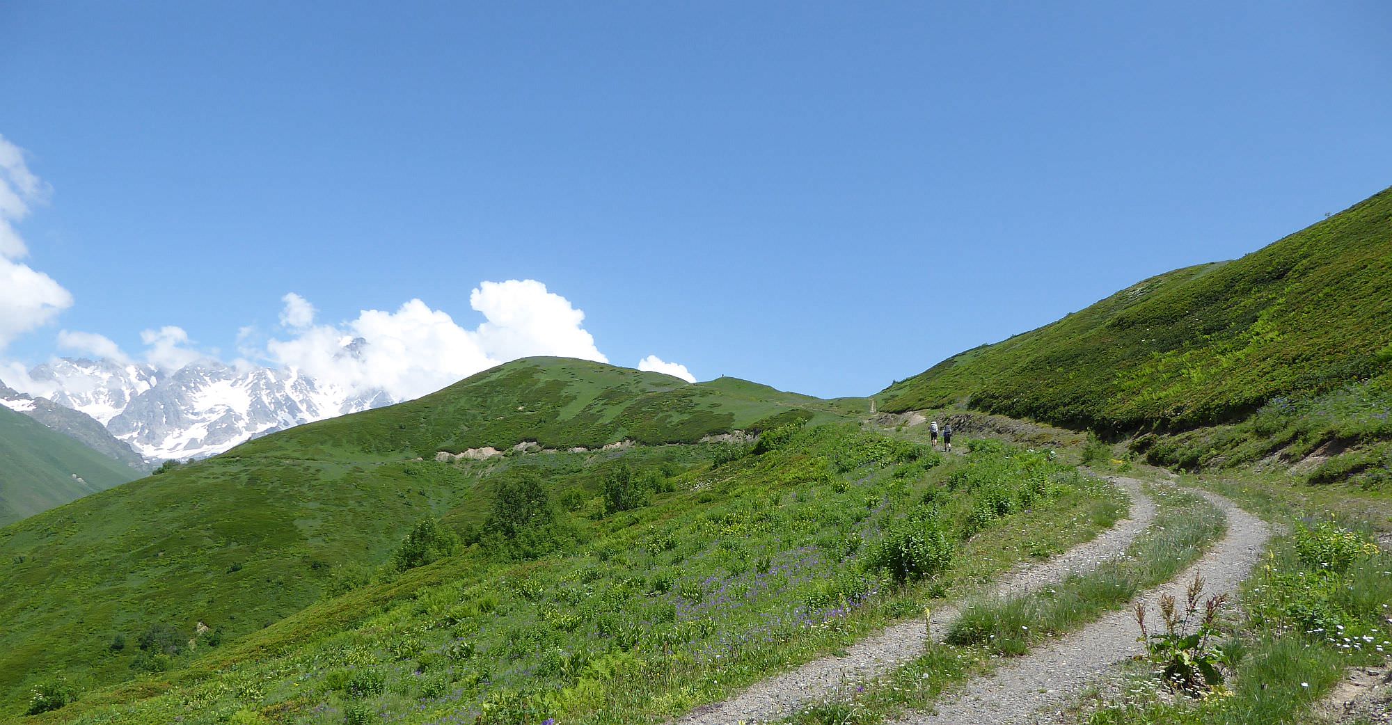
Walk beneath the small elevation marked on maps as Mt. Chiora (2387m). The ridge here becomes pretty wide and the main road branches off into several smaller ones. You can stick to the main track or try some shortcuts, as long as you keep walking east, you should be fine.
After two kilometers, you see a small elevation ahead, the last one separating you from the Notsaruli valley. The main road circumvents it from the north but since we also want to return today, we can´t go that far. Instead, we leave it at the spot where it turns north and follow an old track onto the top of the ridge. Take a break, enjoy the views. Then you can follow the top of the ridge for another 500 meters before the track turns and descends back onto the main road. From there, follow the road back to the Chiora village.
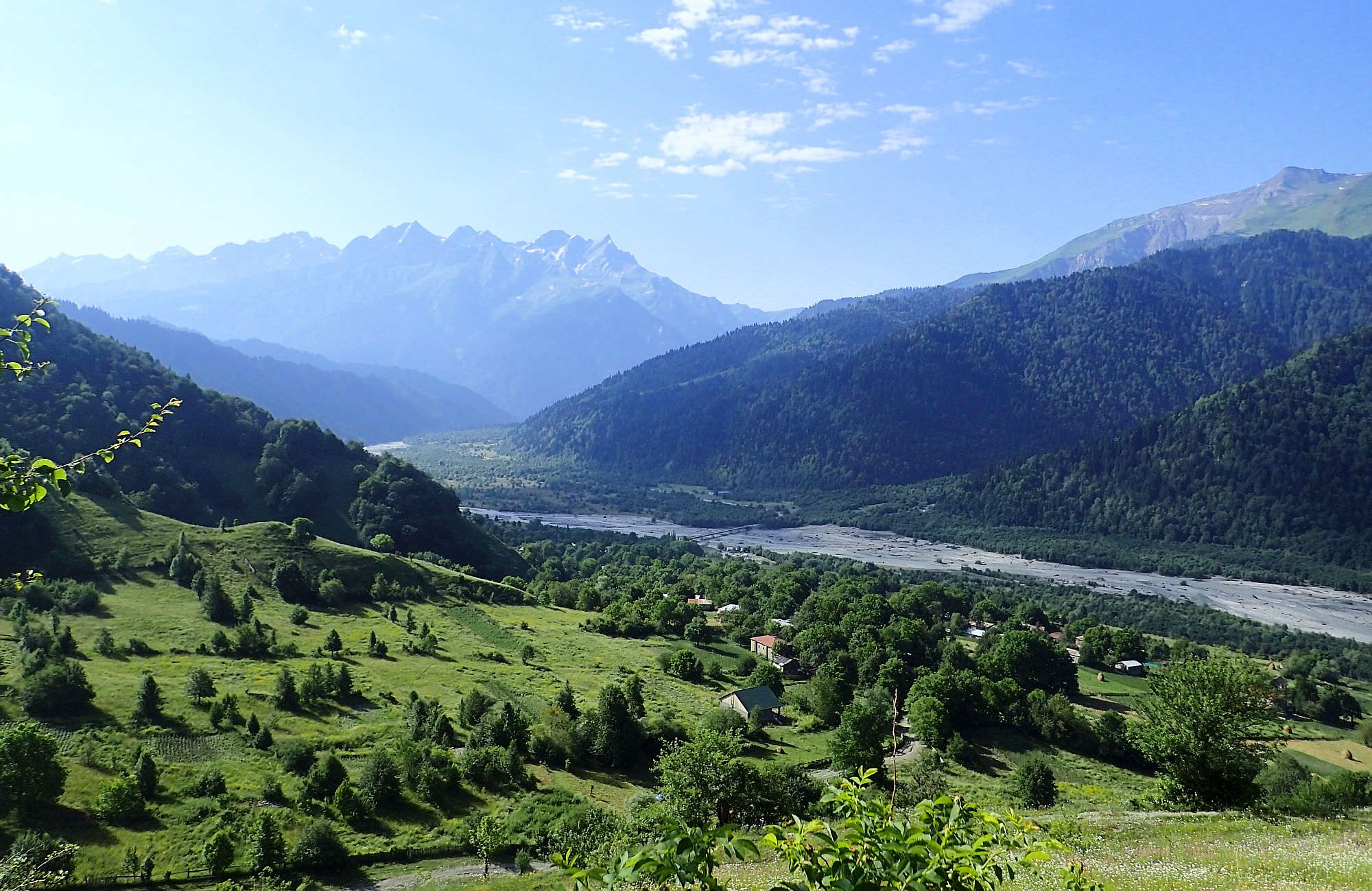
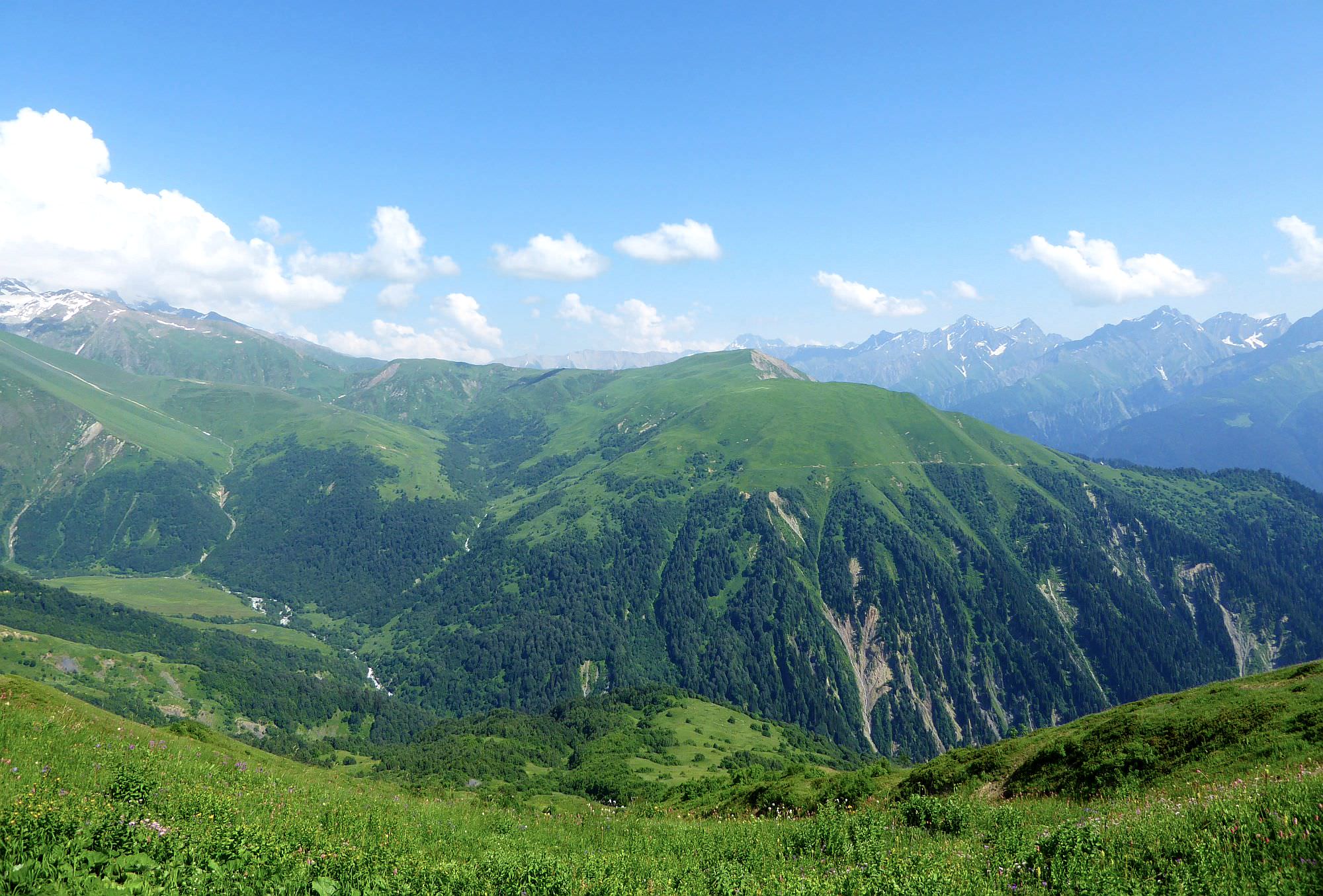
Of course, this is the suggested route for the day hike. If you have two days, you can follow the road all the way to the bottom of the Notsaruli valley - it should take another hour. There is a shepherd´s hut with several suitable camping spots nearby. On the next day, you can return to Chiora. Or, if you are feeling adventurous, you can cross the river, climb the opposing hill and join an old trail which will eventually lead you to Glola village. Be warned, though - this route is much more difficult as the track which once led there is very dilapidated (at least first few kilometers, it gets much better once you reach the transmitters).