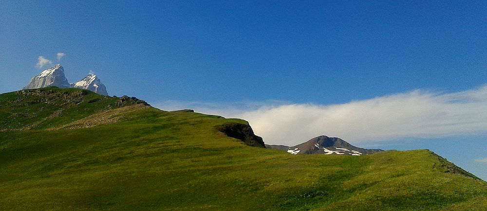

Mestia, the center of the Upper Svaneti is one of those places where I always happily return. Sure, it´s busy with tourists and it seems that every other house was already converted into a guesthouse. But that´s no surprise given how much it offers - it has medieval stone towers, pleasant atmosphere (once you leave the main road) and cozy homestays with friendly owners and great homely food. Moreover, it is the best base for day hikes in the whole of Georgia - even if you don´t have a tent, you can easily spend a whole week exploring the surrounding mountains.
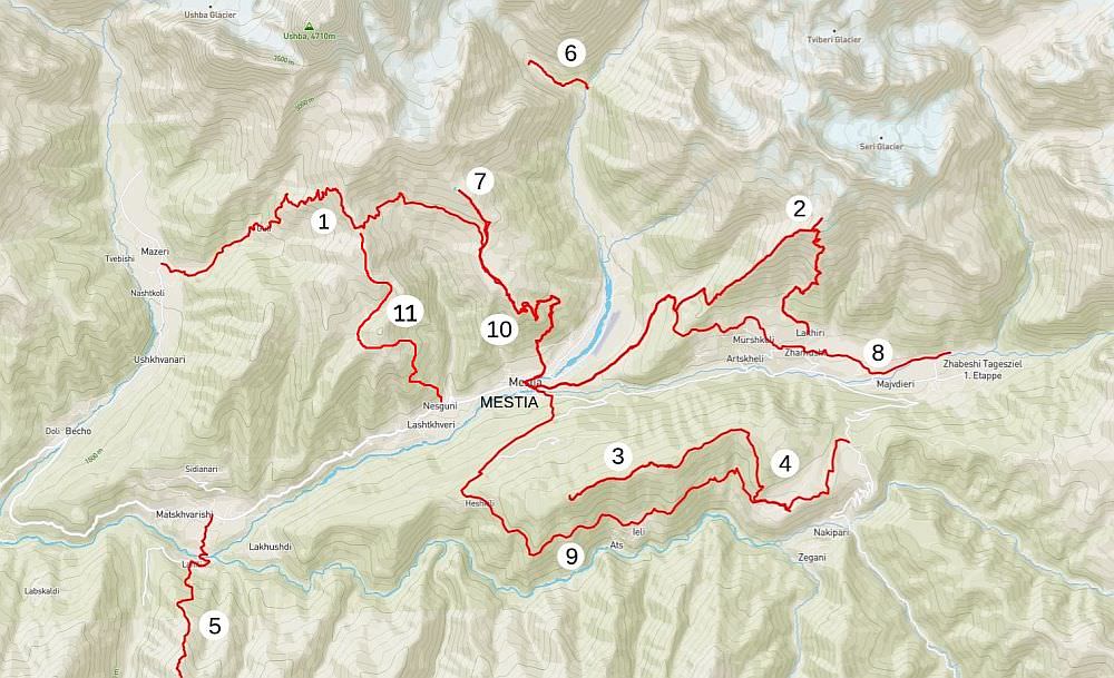
If you are the kind of a tourist who would like to explore Svaneti in more depth beyond the usual "jeep-trip to Ushguli", the list is right for you - in contains all day hikes you can do in Svaneti while using Mestia as a base. Or, to be more precise - all day hikes I am aware about. If you know some others, please let me know :)
| Distance | 22,6 km |
| Trail type: | AB trip |
| Duration: | 9 hours |
| Total climb: | 1464m |
| Total descent: | 1693m |
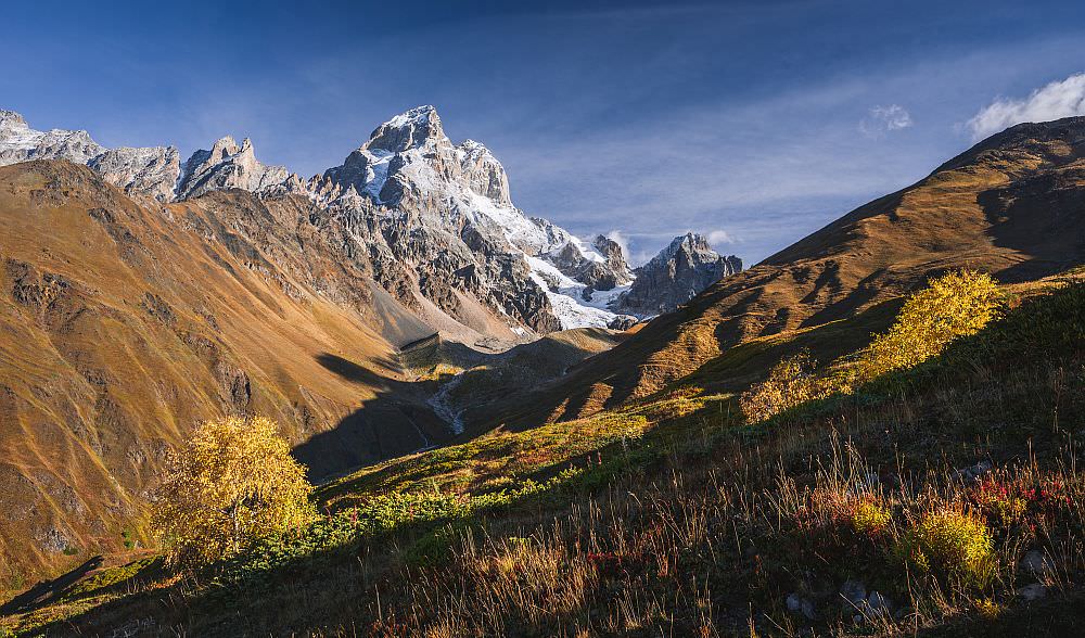
One of the most scenic (and difficult) hikes on the list. It climbs to the 2950 meters high Guli pass and offers some of the best views of Mt. Ushba, probably the most recognizable mountain of Svaneti. Also, we were pleasantly surprised by a relatively low number of tourists (considering how famous the hike is) - we met no more than a few dozens on the sunny summer day. If you are really fit and have only one day to hike around Mestia, this walk should be very high on your list!
However, since the route ends in another valley, this hike needs some more planning. It´s recommended to arrange a driver in advance who will meet you at the end of the trail and bring you back to Mestia. An even better idea might be to make this hike in reverse - take a taxi to Mazeri in the morning and then return to Mestia on foot.
When to go: 2nd half of June - early October
| Distance | 23,2 km |
| Trail type: | Roundtrip |
| Duration: | 9 hours |
| Total climb: | 1910m |
| Total descent: | 1910m |
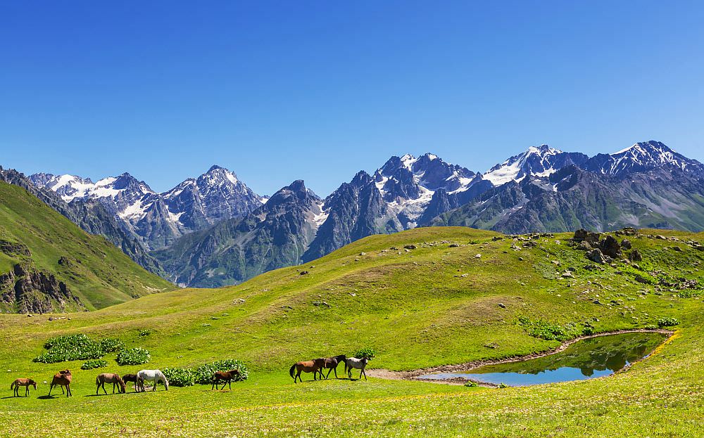
This very nice, yet little-known hike climbs onto the narrow ridge east of Mestia. During the climb, you will walk among the countless flowers while having great views in all directions.
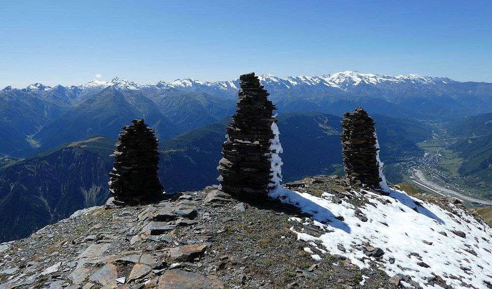
The highest point of the hike present three stone cairns at 3100m built a long time ago by hunters from Lakhiri village. From here, you can either hike the same way back to Mestia or descend to the charming Lakhiri village where you will need to arrange the transport back..
When to go: Late June - early October (you can go also earlier if you don´t mind that you won´t climb all the way to the top)
| Distance | 6 km |
| Trail type: | Roundtrip |
| Duration: | 2 hours |
| Total climb: | 390m |
| Total descent: | 390m |
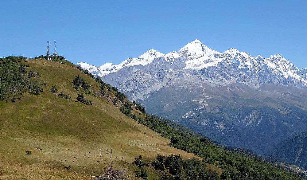
Compared to the previous hikes, this one is a piece of cake. Moreover, it can be finished in a few hours and the scenery it offers is almost as good. How is that possible? The answer is simple - Hatsvali cable car. It takes you to the top of the Zuruldi ridge, where you can visit the restaurant, order coffee and enjoy splendid views of the Ushba mountain.
And that exactly what most of the people do. It´s hard to understand why more people don´t hike to the east, on the dirt road running along the top of the ridge. It is two miles long, almost flat and ends at the Mentashi hill with an old transmitter which serves as a great viewpoint. From there, you can return back to the cable car station (or do the next hike on the list).
When to go: Doable all year long
Looking for a place to stay in Mestia?
These are my favorite guesthouses
| Distance | 11,2 km |
| Trail type: | AB trip |
| Duration: | 4 hours |
| Total climb: | 390m |
| Total descent: | 898m |
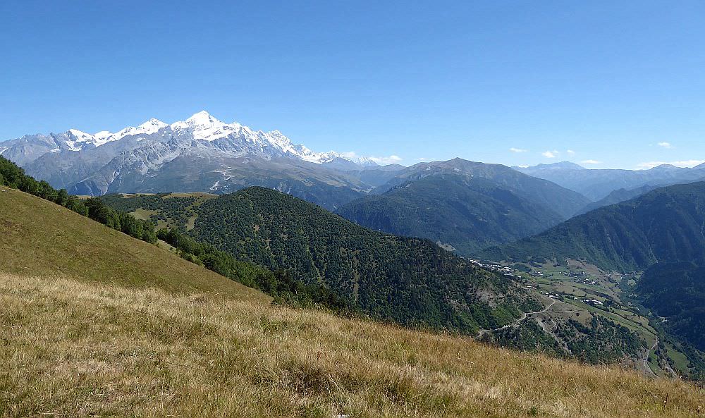
A longer version of the previous walk. In this case, you don´t turn back at the Mentashi transmitter but climb down at the other side. There is a trail navigating the beautiful alpine pastures which will eventually lead you to the Tsvirmi village.
The disadvantage is that you need to arrange the transport back. The easiest would be to walk 2km further and reach the main road, close to the Ugviri pass. If you make it here before 4 pm, you should be able to wave down some taxis which bring day-trippers back from Ushguli.
When to go: Late May-late October
| Distance | 17,2 km |
| Trail type: | Roundtrip |
| Duration: | 6-7 hours |
| Total climb: | 1470m |
| Total descent: | 1470m |
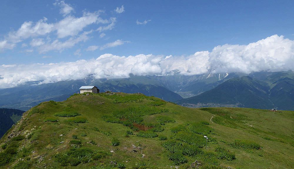
This hike starts in Latali village lying some 10km away from Mestia (to get there, you may have to take a taxi for 20-30 GEL). It climbs to the small church lying at the foot of Laila. The major part of the trail passes through the forest but once you get above the treeline, the panorama of the mountain wall of the Greater Caucasus opens up in front of you. At the opposite sides, you can admire glaciated Laila and Gvadarashi.
To get back to Mestia, you may have to hitchhike. However, the road is busy so you probably won´t have to wait for long.
When to go: Mid June - early October
| Distance | 5,2 km |
| Trail type: | Roundtrip |
| Duration: | 2 hours |
| Total climb: | 270m |
| Total descent: | 270m |
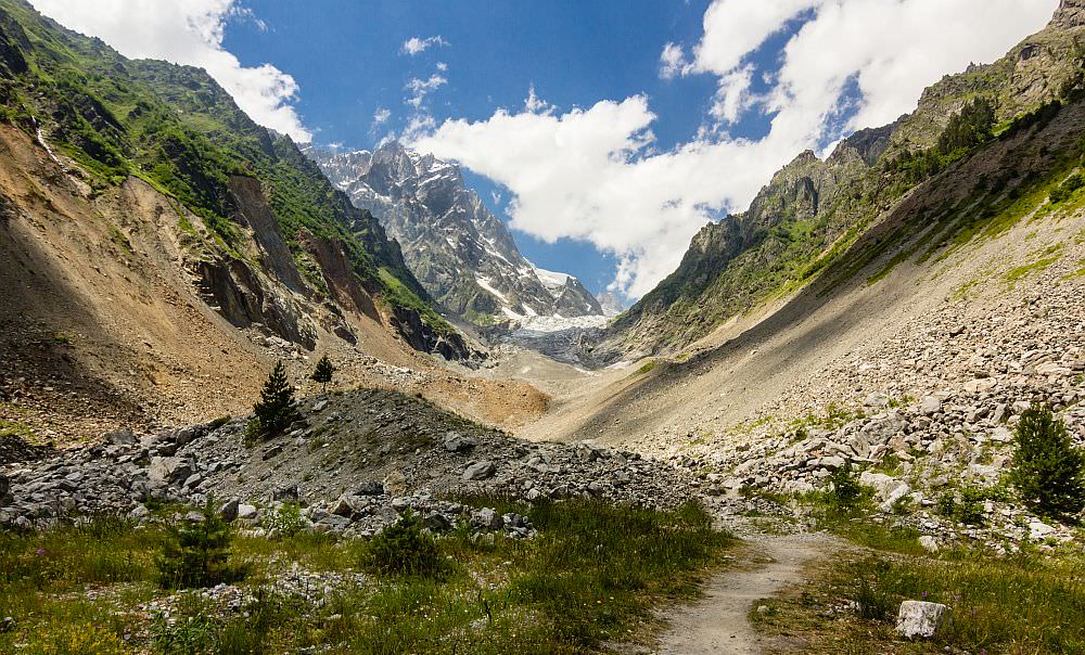
The most notorious hike around Mestia. It used to be much longer but now it´s strongly recommended to take a taxi for the first 8 kilometers - the construction of hydropower dam turned the original "boring part" of the hike into "a dusty, noisy and overly disturbing part". Luckily, once you cross the suspension bridge, the trail enters a beautiful pine forest and you will appear in a different world. After this nice, tho a bit short walk you will reach the moraine and will be finally able to admire the glacier. Just beware of rocks tumbling down the glacier!
When to go: April - November
| Distance | 16,4 km |
| Trail type: | Roundtrip |
| Duration: | 7 hours |
| Total climb: | 1560m |
| Total descent: | 1560m |
Another popular hike, climbing to the group of alpine lakes at the foot of Mt. Ushba. The lakes themselves are not that special but the surrounding scenery is spectacular. Yet, I am not a big fan since you mostly walk by the road. Also, this hike almost completely overlaps with the Guli pass trail which, while much harder, offers much better views.
Still, there are ways to greatly improve the overall impression if you are fit. Don´t stop at the lakes, but climb Koruldi ridge to the north, to the cross at the elevation of 3328m - it´s one of the highest places which can reach a regular hiker in Svaneti. The climb is not technical but you shouldn´t be afraid of heights. If you look for something easier walk, you can also climb to the viewpoint at the other side of the mountain (2920m).
When to go: Early June - late October (you can reach them even earlier, but lakes won't be visible because of the snow)
| Distance | 16,1 km |
| Trail type: | AB trip |
| Duration: | 5 hours |
| Total climb: | 911m |
| Total descent: | 911m |
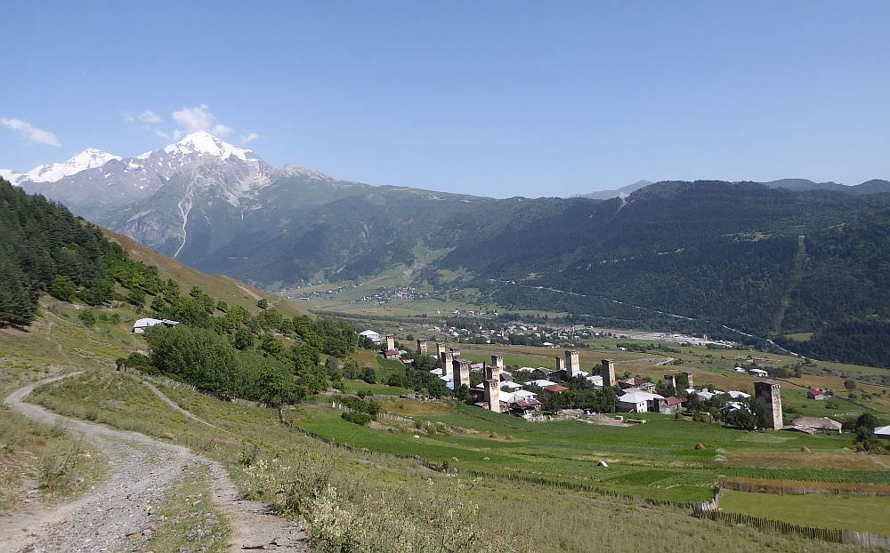
Not many people do this but if you want, you can walk along the first section of the famous Mestia - Ushguli trail. You will enjoy nice views of Mt. Ushba and pass several old Svan villages. The trail ends in Zhabeshi (or wherever you will decide you had enough), from here, you will have to hitchhike or take a taxi back to Zhabeshi.
When to go: November - April
| Distance | 18 km |
| Trail type: | AB trip |
| Duration: | 6 hours |
| Total climb: | 1253m |
| Total descent: | 725m |
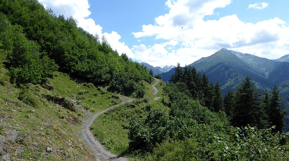
Another hike connecting Mestia with Tsvirmi village. However, unlike its more famous variant which navigates the top of Zuruldi ridge, this one crosses into the Enguri valley and follows the river upstream. The route follows the new concrete road to the Hatsvali station but leaves it on the turn-off to the Heskhili village. From here, it runs along dirt tracks and trails connecting the remote villages of Inguri valley such as Ieli and Tsvirmi.
Again, you will need to arrange the transport back. The easiest would be to walk 2km further and reach the main road, close to the Ugviri pass. If you make it here before 4 pm, you should be able to wave down some taxis which bring day-trippers back from Ushguli.
When to go: April - November
| Distance | 8,4 km |
| Trail type: | Roundtrip |
| Duration: | 4 hours |
| Total climb: | 680m |
| Total descent: | 240m |
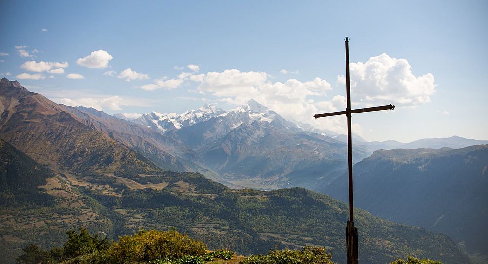
Shorter variant of the hike to Koruldi lakes, this route climbs to the cross at the Tskahazagari mountain, the first major hill to the north of Mestia. At the top, you will find a newly built viewing platform.
The views from the top are really good and hike is shorter than many others - it can be easily finished during the afternoon. The problem is you will spend most of the time in the forest and once you will climb above the treeline and things become much more interesting, you will reach the end point of the hike. Therefore, if you have some extra time, I recommend to prolong this walk as much as possible in the direction of the lakes.
When to go: April - November. You can go also during winter, but you will need a few more hours.
By Marcin Chalupka
| Distance | 17,6 km |
| Trail type: | Roundtrip |
| Max. elevation: | 2931m |
| Min. elevation: | 1415m |
| Total climb: | 1680m |
| Total descent: | 1680m |
An interesting, yet almost unknown alternative to the popular Guli pass hike. It climbs 2926 meters high Gul mountain south of the pass, which offers even better views of magnificent Mt. Ushba than the pass itself. To reach it, you will cross scenic high pastures of Lashkvid - a place very few tourists ever heard of. Also, since it forms a loop, it´s particularly suitable for hikers based in Mestia - they can explore the area without the need to pay for a taxi to bring them back from Mazeri.
When to go: May - October.
