This trek explores Pirikiti and Gometsara valleys, crossing the Nakle-Kholi pass in-between.
This 3-day route explores Pirikiti and Gometsara valleys. It combines visits of traditional Tush villages with some serious trekking - Nakle-Kholi pass (2920m) offers some of the best views you can find it Tusheti . It also can be finished without sleeping equipment, as nowadays there is a guesthouse in both Parsma/Baso and Verkhovani/Jvarboseli villages.
Still, while this route was quite popular some years ago, nowadays, I wouldn't recommend it to too many people - two days of walking on the dirt road vs. one day of serious hiking is not such a good ratio. Could be a good option for people who want to explore Tusheti slowly and see many interesting villages. For others, I recommend to do only one half of the loop (it's up to you which one) and combine it with the traverse of Pirikita range.
This trek takes three days but offers many sidewalks so that it can take even five days to finish.
First and last day of the trek is spent mostly on dirt roads, but on the second day there is a difficult crossing of Pirikiti range.
A tent is not necessary, it is possible to sleep at guesthouses.
By jeep:
There is no public transport to Tusheti. To get to Omalo, you will need to hire a driver with 4WD. If you are traveling from Tbilisi, you will first need to get to Kvemo Alvani village - this can be done by marshrutka or a taxi.
The marshrutka departs from Ortachala bus station in Tbilisi at 9.am and arrives at Alvani two hours later (price 15 GEL). Drivers are used to tourists and often arrange them further transport to Tusheti. Just confirm with the driver that he is going all the way to Alvani, they sometimes try to drop passengers in Telavi in order to make them hire another taxi to Alvani. Or they simply want to hook you up with the jeep driver from Telavi but that is OK if the price is right.
If you want to take a taxi from Tbilisi to Alvani instead of a bus, the price can be anywhere 100 and 150 GEL (it grows with your distance from the Ortachala station :))
In Kvemo Alvani, the bus or taxi will drop you at the main (and the only) junction. This is the place from which depart jeeps to Tusheti so if you get here before noon, you should be easily able to hire a driver.
The ride to Omalo takes about 4-5 hours and costs 70+ GEL per passenger (or about 350-400 GEL for the whole jeep). BBC once placed it among the "10 Most Dangerous Roads in the World", but with a good driver, it definitely doesn´t feel like that. In navigates pretty steep mountainside but the road is usually wide enough and unless you are passing another car and need to navigate to the very edge of the road, there is no reason to feel nervous. Still, the accidents happen here and the road claims a few lives every year. Therefore, even if you have your own car, for this stretch of the road, it may be better to use the service of the local driver.
By hitchhiking:
Hitchhiking can be "hit or miss" since jeeps traveling to Omalo are usually booked by tourists and full. And even when they are not, tourists might be reluctant to pick someone who just walked a few hundred meters beyond the departure point and raised a thumb (especially if he is dressed up in Arc´teryx gear like a couple of "travel hackers" we saw there the last time :)). Professional drivers will rarely pick you up for free. Therefore, your best bet will be locals heading to Omalo for a visit - but it may take a while until some show up.
Another option is the Kamaz truck which brings supplies from the lowlands to Omalo. These drivers usually pick up passengers for a symbolic price but the truck has no fixed schedule. It departs like each other day in the morning, so it can´t be relied upon.
Looking for a place to stay in Omalo before the trek?
Here are some of the better guesthouses.
Again, you will need to hire a jeep with a driver. Price should be the same as what you paid to get there.
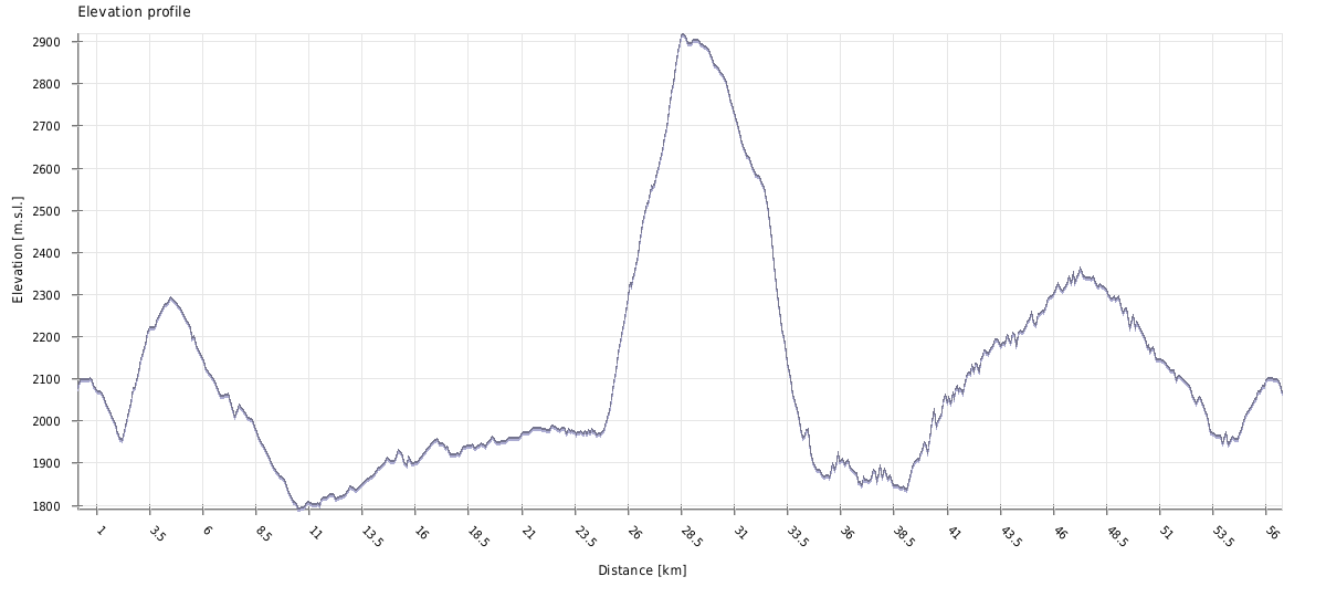
| Distance | 56,8 km |
| Trail type: | Roundtrip |
| Max. elevation: | 2919m |
| Min. elevation: | 1791m |
| Total climb: | 2473m |
| Total descent: | 2473m |
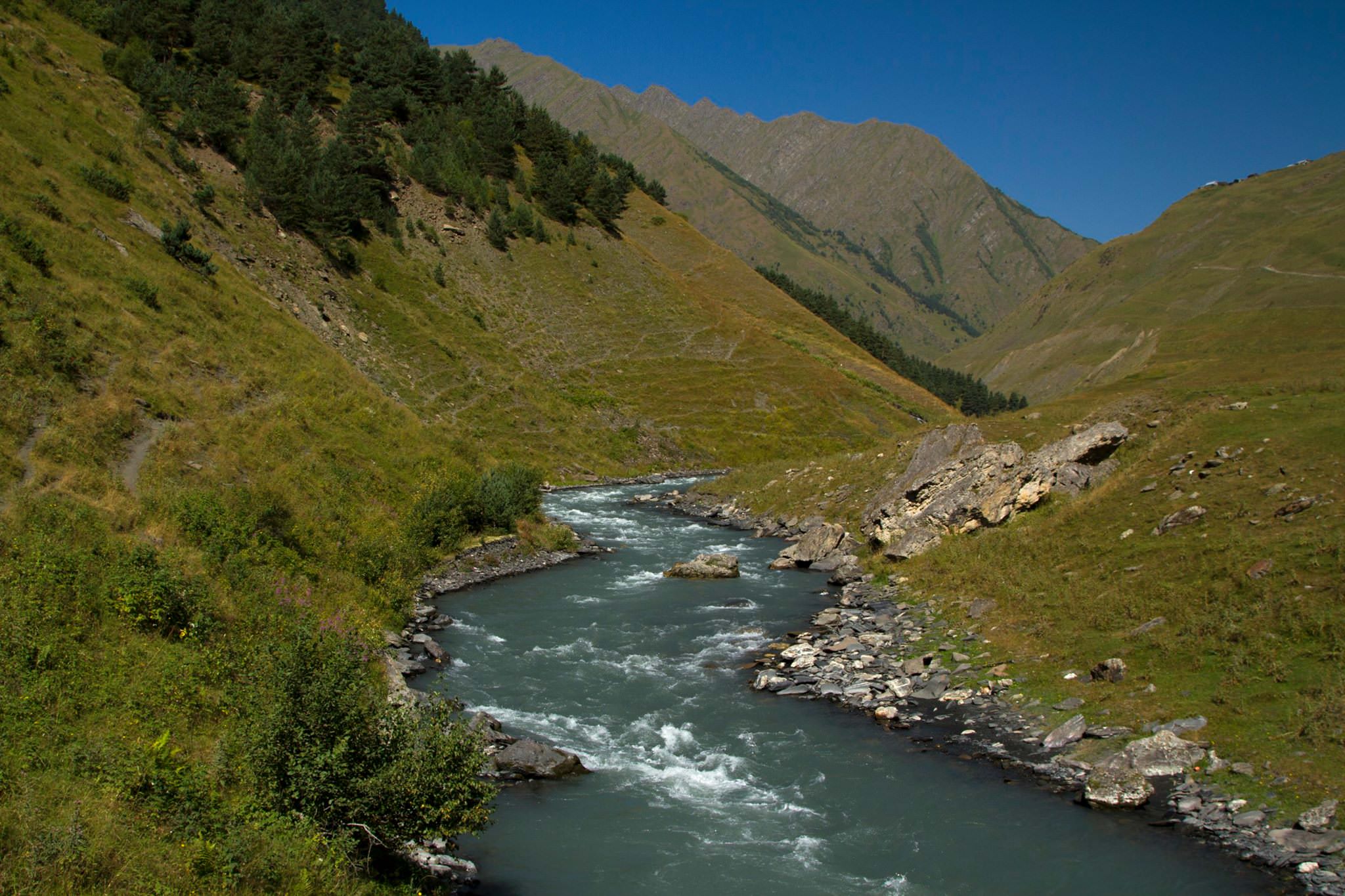
Leave Upper Omalo by jeep track heading to the north. You can follow this road all the way to Dartlo, but there is a shortcut you probably will want to take. Some 1 km from the Upper Omalo village there is a serpentine, where road sharply turns left. At the bend there is a marker with directions, so just turn from the main road to the right, follow the smaller path, climb the meadow and you will soon come to the trail in the forest. This trail joins the main road to Dartlo after some two kilometers, close to the small pass separating river valleys. From here, the walk is pretty straightforward - for about two hours, you will follow mostly flat or mildly descending road till you reach Dartlo village.
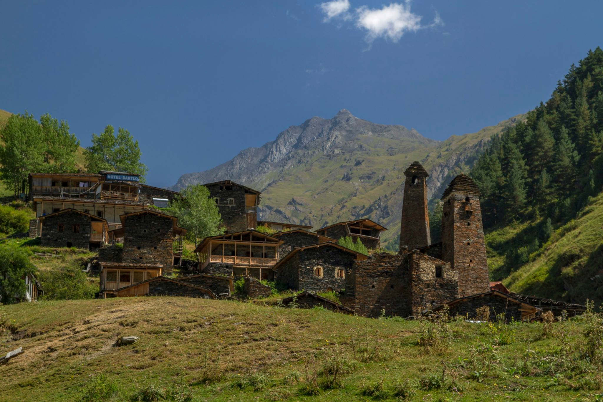
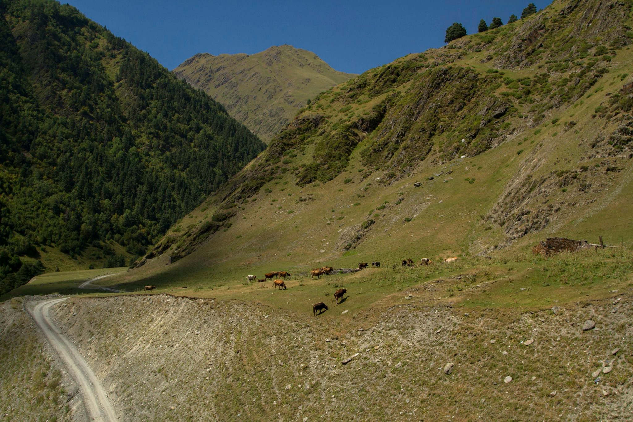
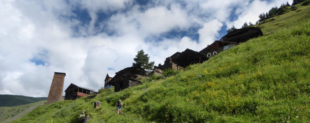
The standard route from Dartlo follows the main road by the river and after some 2 hours, you should arrive to Chesho village. Another hour of walking and you will come to Parsma village - time to break a camp. And you still should have time to see this interesting village. However, the village lacks good guesthouse so for accommodation, I recommend to check Baso guesthouse at Baso (but it's so close that you won't realize it's a different "village").
You could easily spend two days on this section - if you go through Kvavlo, Dano and then decide to visit villages beyond Parsma, further up the Pirikiti valley.
Cross the bridge in Parsma - used to be in a terrible condition, but got repaired in October 2020. Then follow the road downstream - in the same direction from which you came yesterday, but on the different bank. There is a shepherd's camp, so beware of dogs - ones living here are quite protective of their herd.
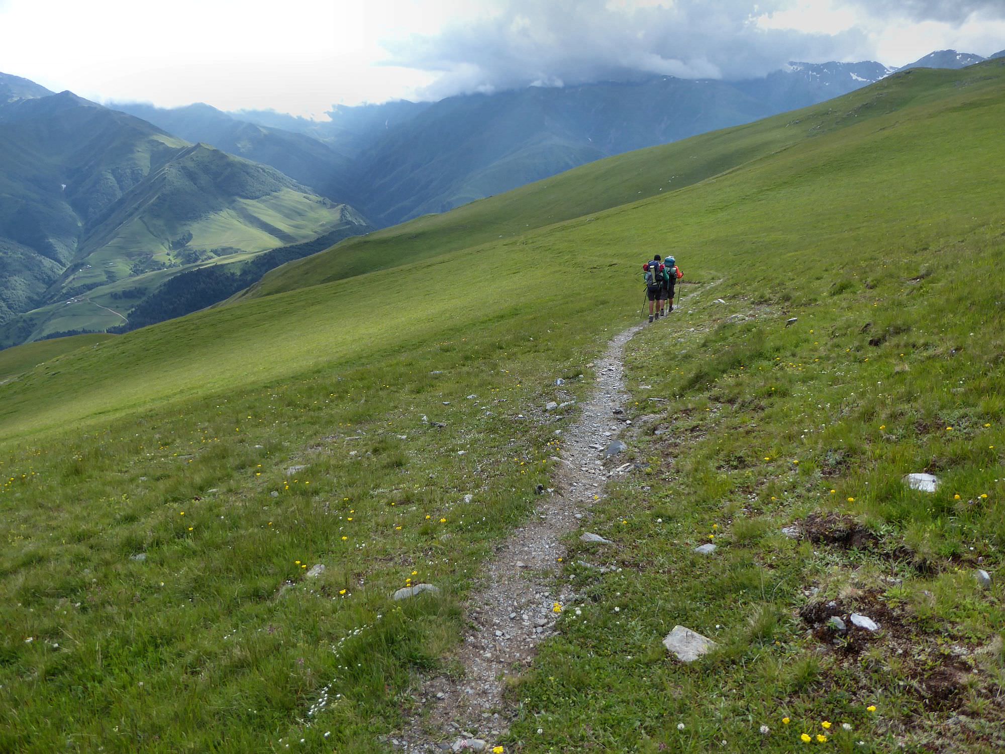
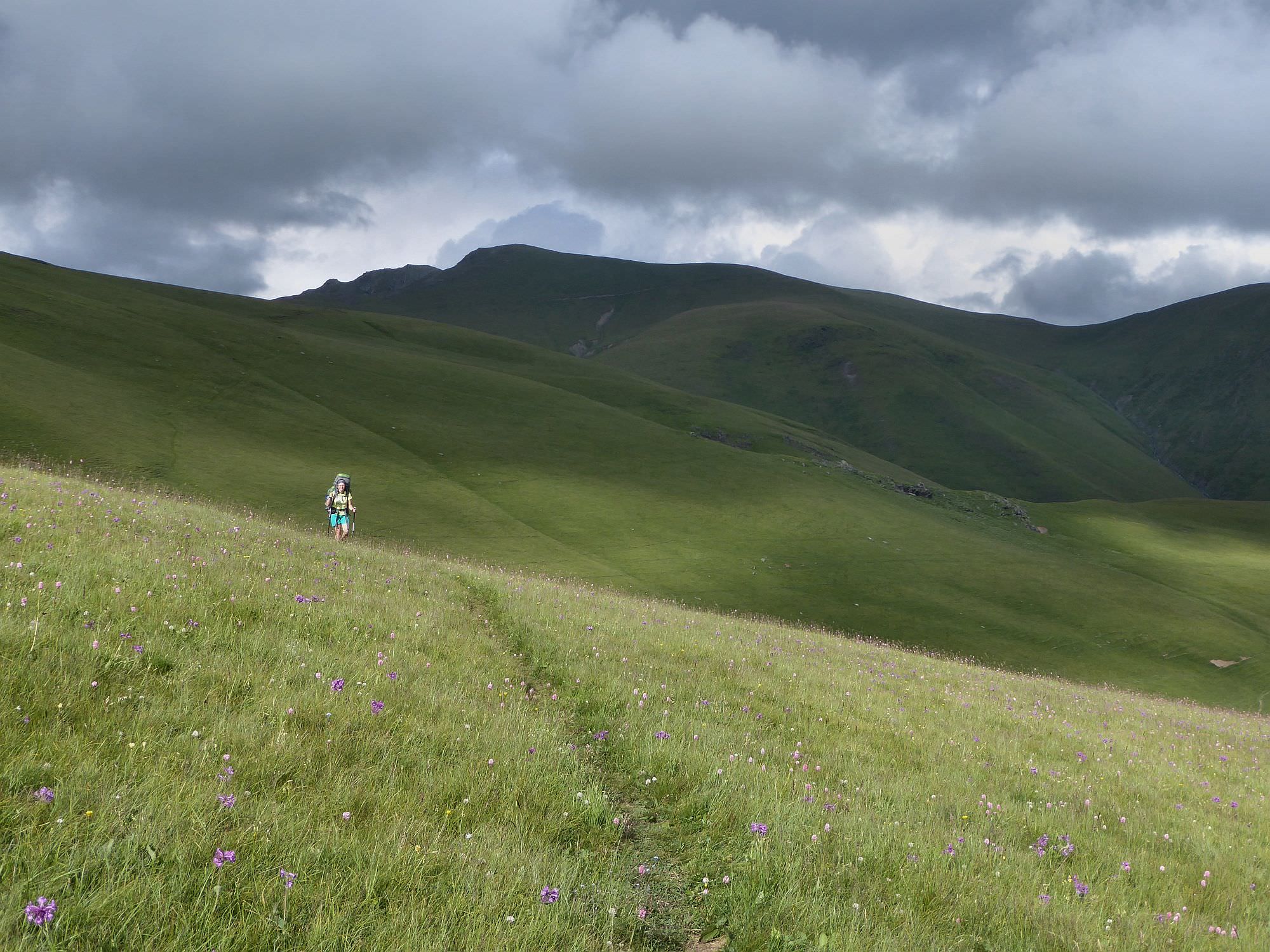
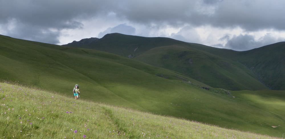
After one mile, the path turns right and starts sharply ascending. Follow the path, it's quite obvious. It will eventually turn southeast and after several hours you will finally reach Nakle-Kholi pass.
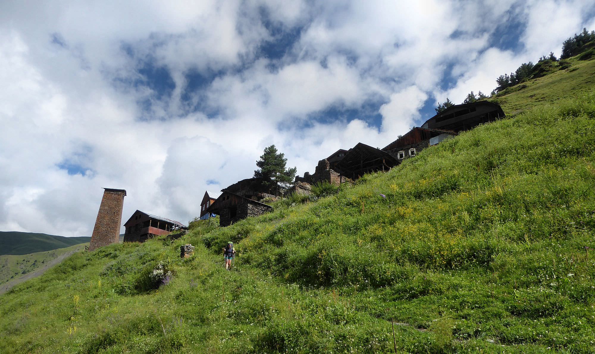
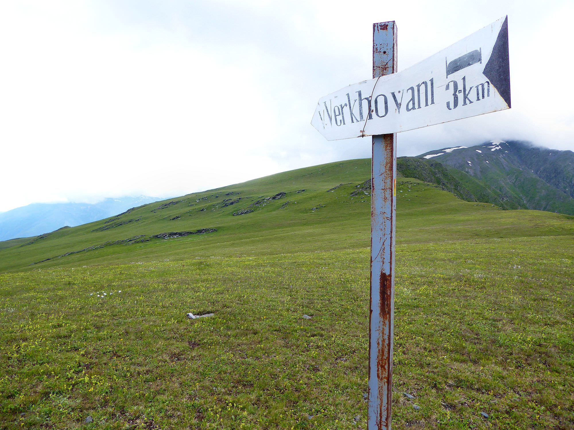
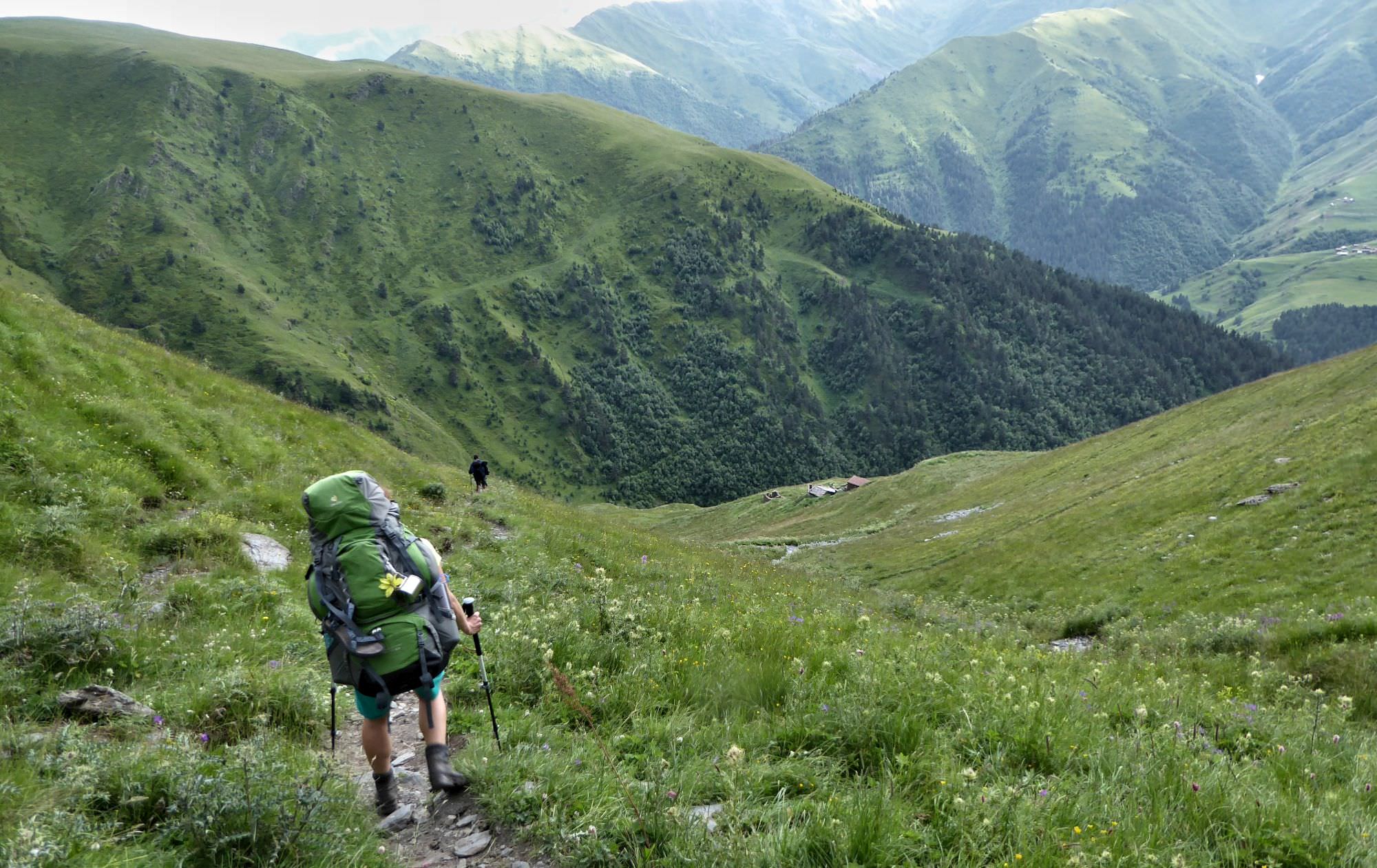
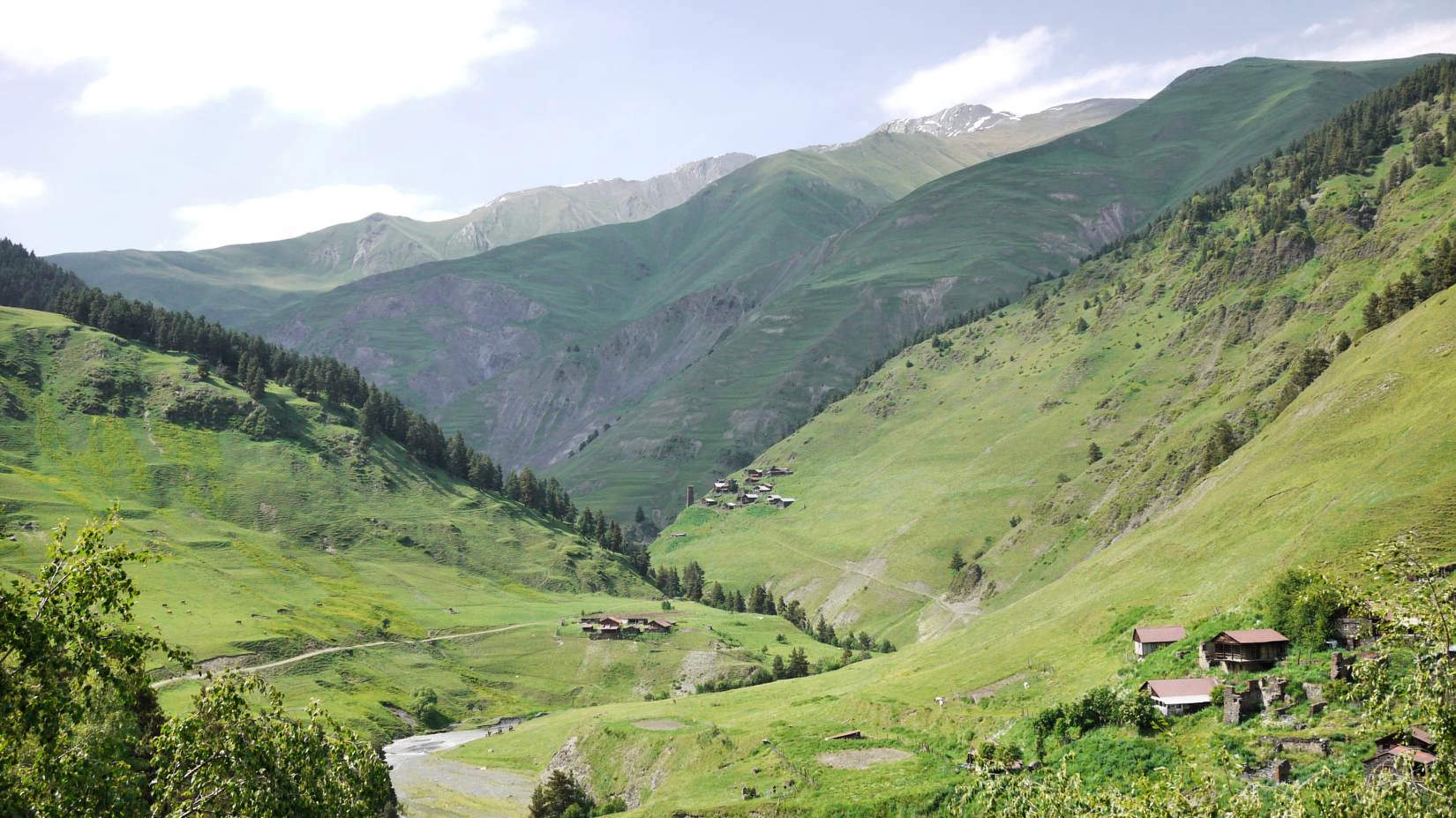
Nakle-Kholi pass is flat and wide, there is even a pointer showing the direction to Verkhovani. Start walking in that direction - path heads to the southwest. The trail is well-trodden and there are write/red pole markers on tricky spots, so you shouldn't get lost. Eventually, the trail gets closed to the creek and passes abandoned village of Dadikurta. Below the village, it turns into a serpentine and descends to the small river, with the forest at the other side.
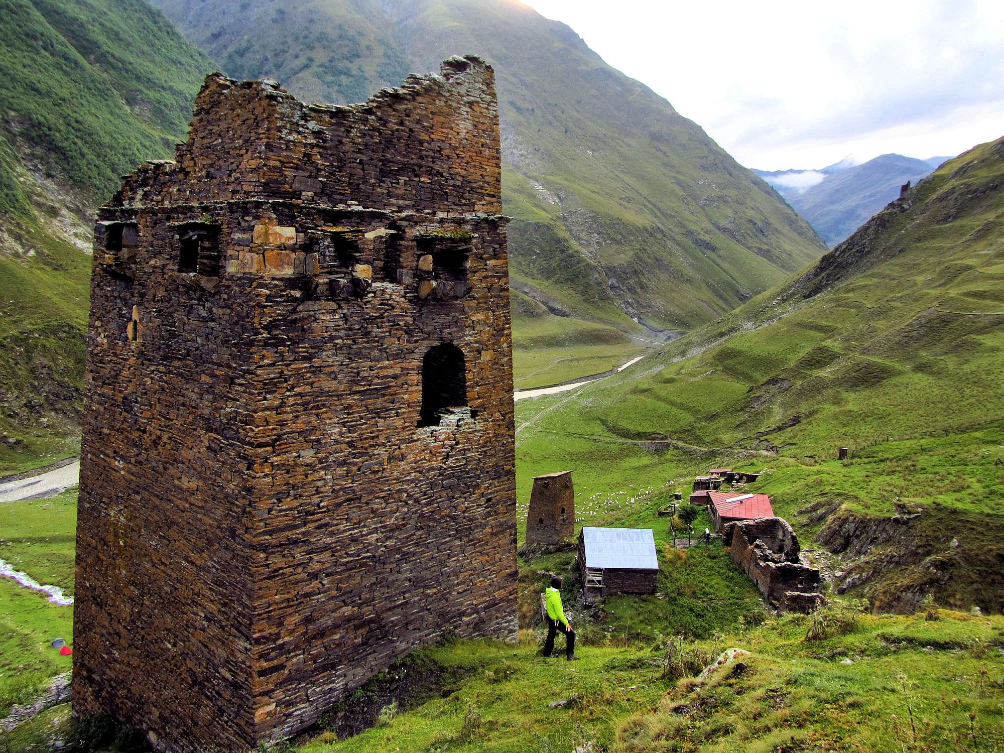
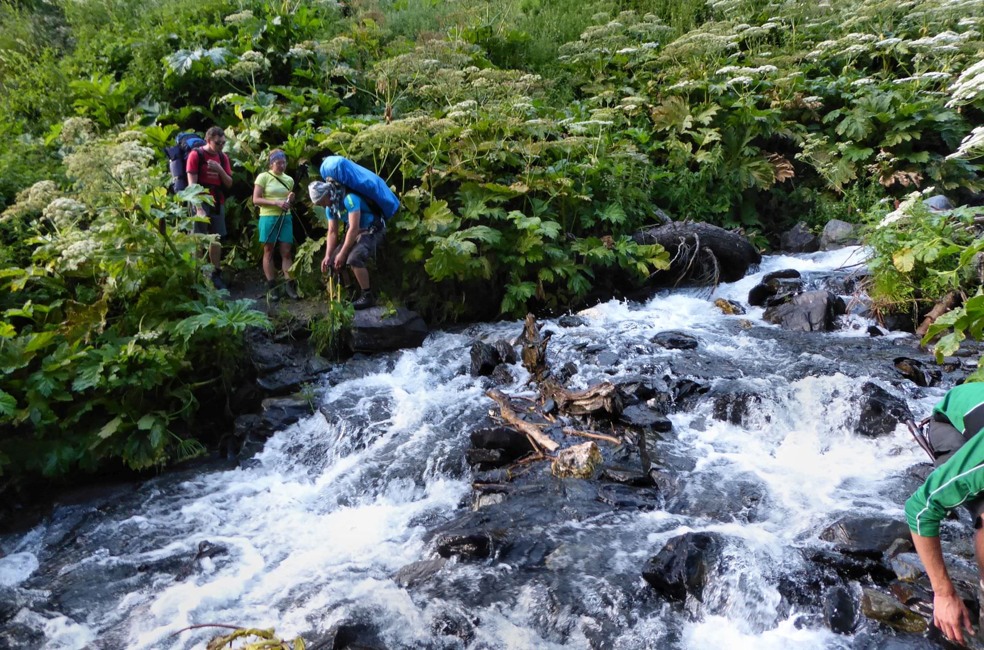
Next section is short but may take a while as it’s necessary to cross the stream three times. First crossing is doable without getting wet, but the remaining two are not so easy - if you have sandals, I recommend to put them on. Finally, after third crossing, the trail climbs a bit uphill, circumvents the hillside and enters Verkhovani village.
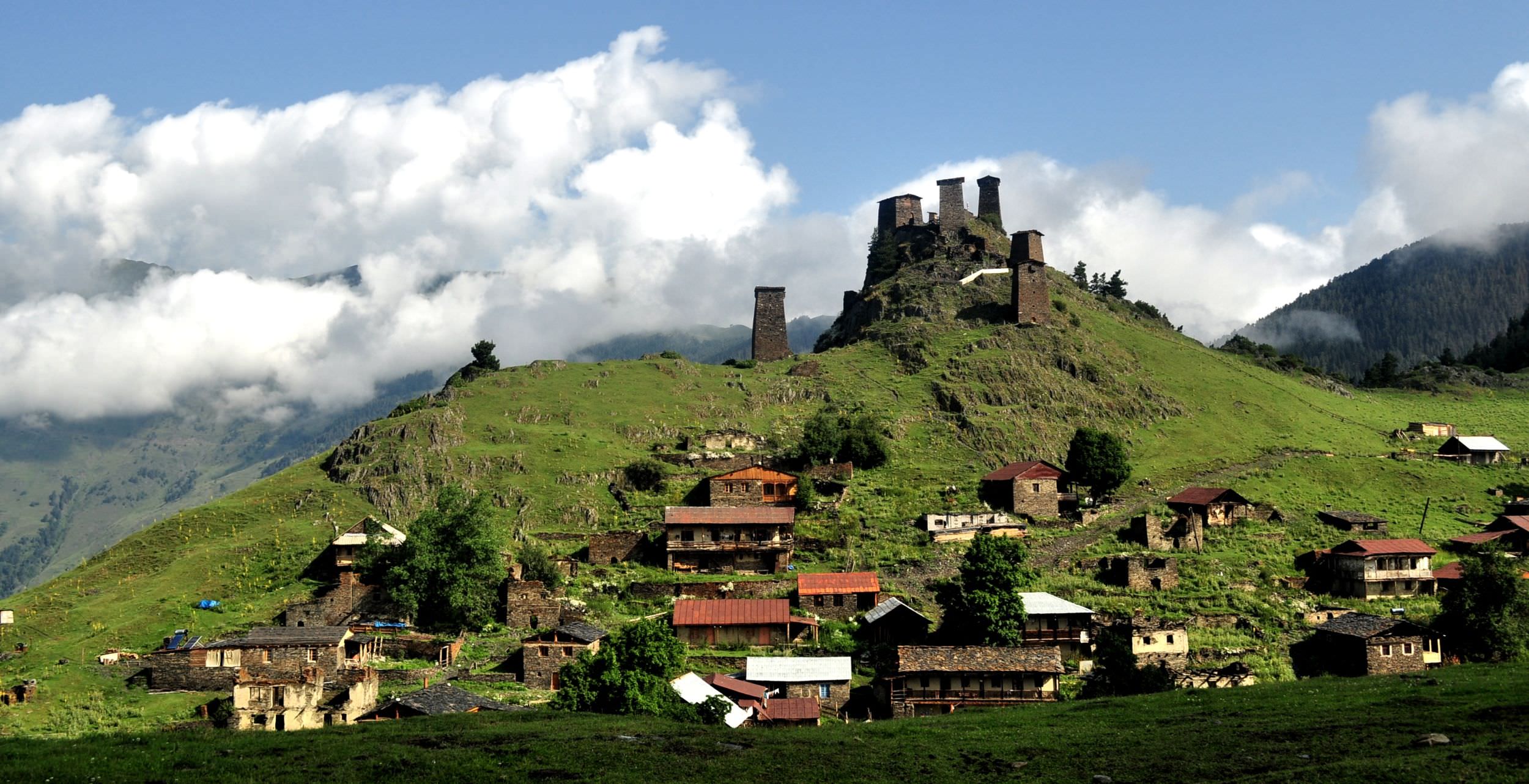
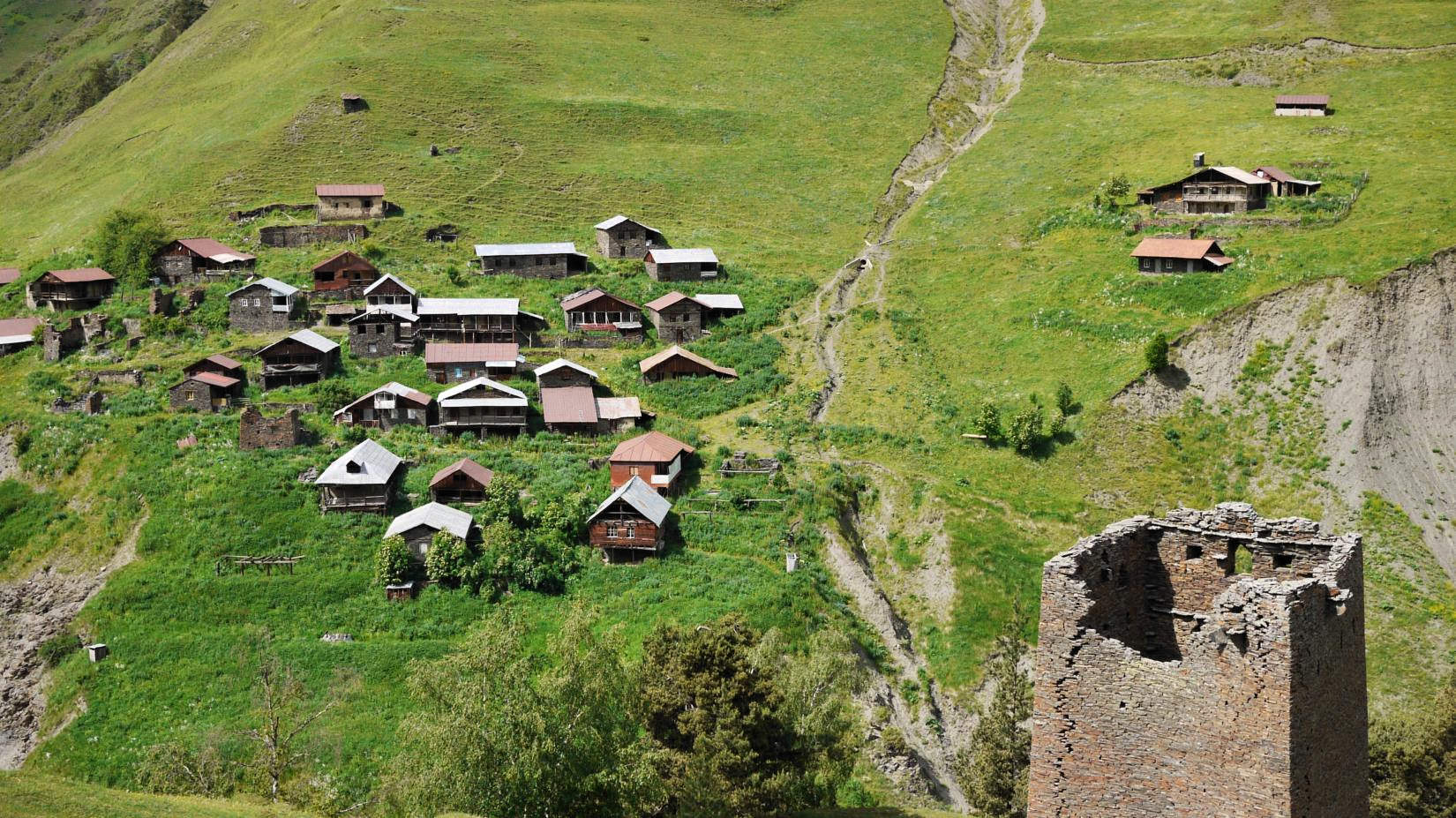
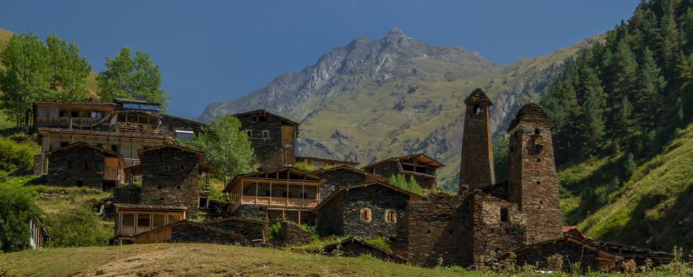
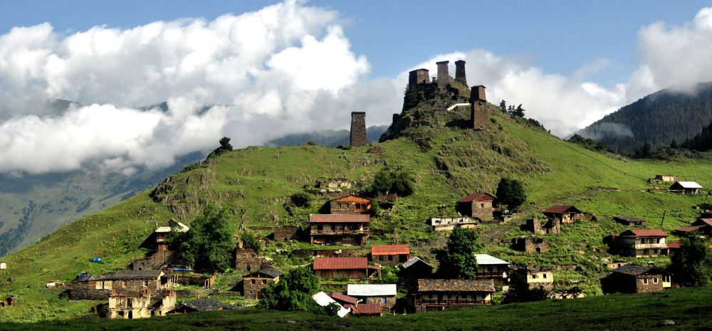
The village is built on a steep slope, they are only a few places to camp (moreover, the ground is very rocky). If you think you deserve to sleep in the bed after today’s effort, you can do so in the "Guesthouse Lamata" (+995 99 70 03 78). It's very basic, but the bonus is that you can sleep in an actual Tush tower.
In case that Lamata guesthouse is closed or you are looking for something bit more luxurious, you can continue to the Posholi guesthouse (+995 599 208 427) in the next village, Jvarboseli
If you have time, you can spend another day in the area, using Verkhovani as your base and visiting abandoned villages in the Tsovatistskali valley to the west. But you have just three days, it's time to return to Omalo.
Follow the path which leaves Verkhovani village to the southeast, in paraller to the river (not that you have any other option since Verkhovani bridge got destroyed in 2017 :)). The trail is two kilometers long and mostly in a good condition but shortly before you reach the village, there are also a few landslide sections where the trail is more exposed and you need to be more careful.
At Jvarboseli, check the situation with bridges. Local large bridge got destroyed too, but there is a solid chance that there exists a smaller, more rickety replacement footbridge made by locals, little downstream from Posholi guesthouse (ask there if it exists or not). One such footbridge was built in September 2021, but it´s hard to tell if it will survive spring floods. If there is no bridge, a car track is crossing the river here at pretty wide spot so it should be relatively safe most of the time. It you feel the water level is too high for a safe crossing (what happens quite often), ask for assistance at the Posholi guesthouse, they should be able to drive you through for some reasonable price.
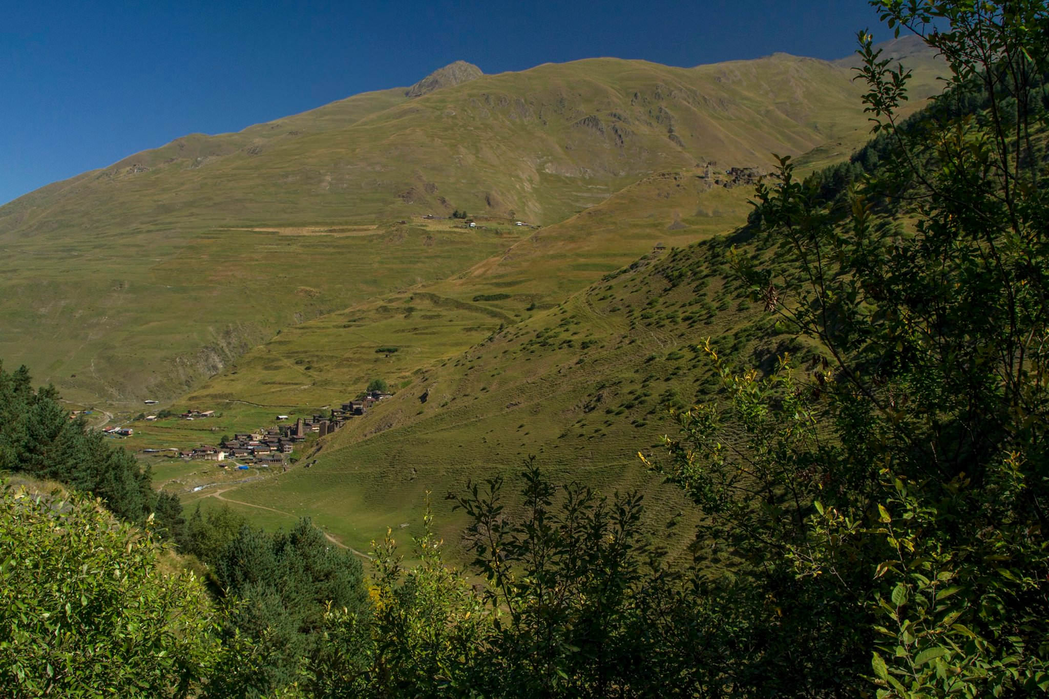
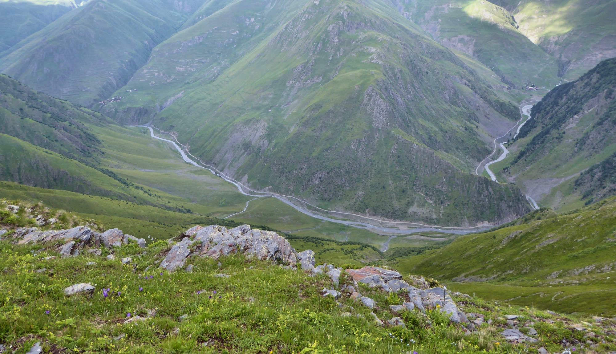
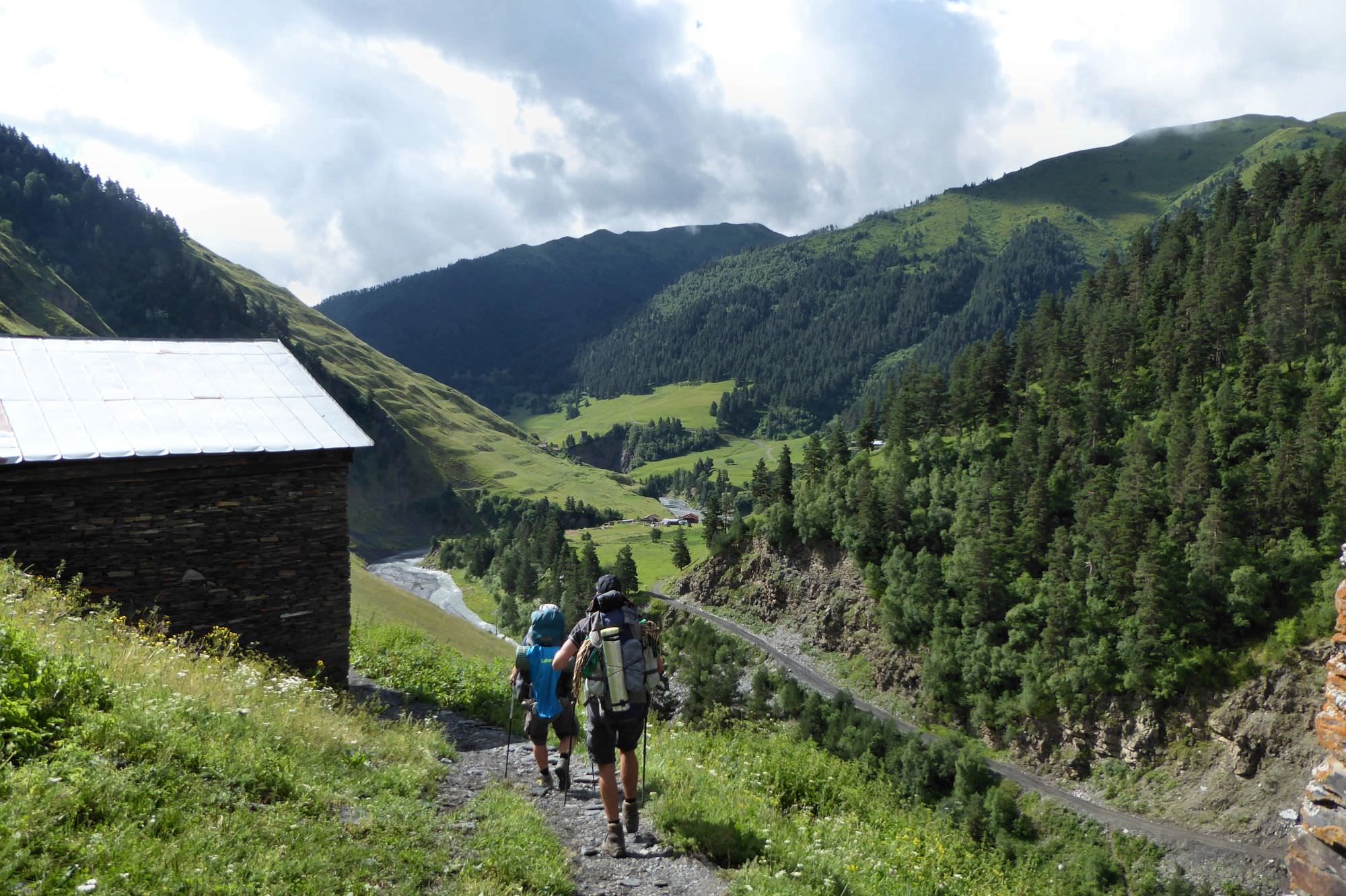
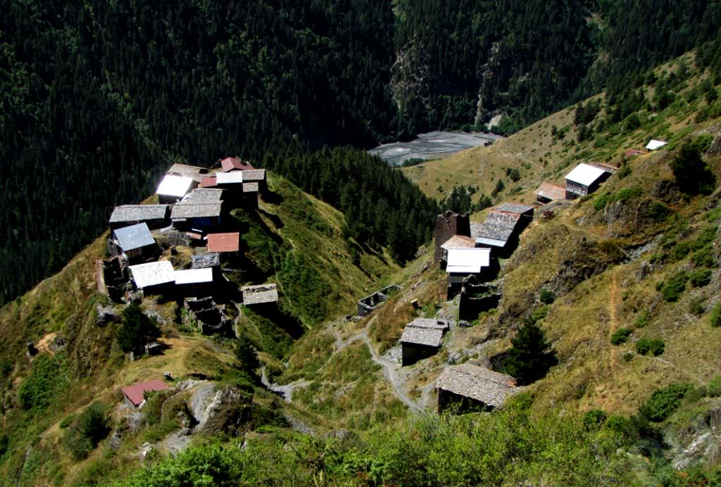
Once at the correct side of the river, just climb to the main road and follow it to the east. After one hour the road crosses a river again, this time finally by a bridge, and climbs a little into Beghela village. Here it abandons a river, climbs the hillside and follows the contour line through the forest. Follow the road, after another hour you should see Dochu village below - it's amazing, almost aerial sight, as Dochu is situated in the slope below the road.
Follow the road for another few hours, it will cross Bochorma village, dive into the forest and eventually join the road from Omalo to Dartlo. On this intersection turn right and follow the road all the way to Omalo.
Many great photos used in this article were taken by Mario Sklenar. More of his photos can be found here.
Photo of Dochu is borrowed from this webpage with more info about Georgia. Thanks Oliko.