Adventurous hike navigating the little visited river gorge.
This interesting hike starts in the upper part of Chanchakistskali valley and navigates it all the way down to Mutso fortress.
On the way, you will pass ruined villages Khakhabo and Ardoti as well as the steep Chanchakhi gorge.
The hike can be finished in one long day, but it’s not the usual day walk as it’s starting and ending point are not that easy to reach.
It works better as a part of a longer trek. The easiest variant is 2,5 days long "Shatili - Mutso - Khakhabo - Datvisjvari pass" loop, but there are also several much harder options as the walk connects two main trails between Tusheti and Khevsureti. It’s up to you how you want to mix it.
It’s possible to finish it in a day, but not recommended.
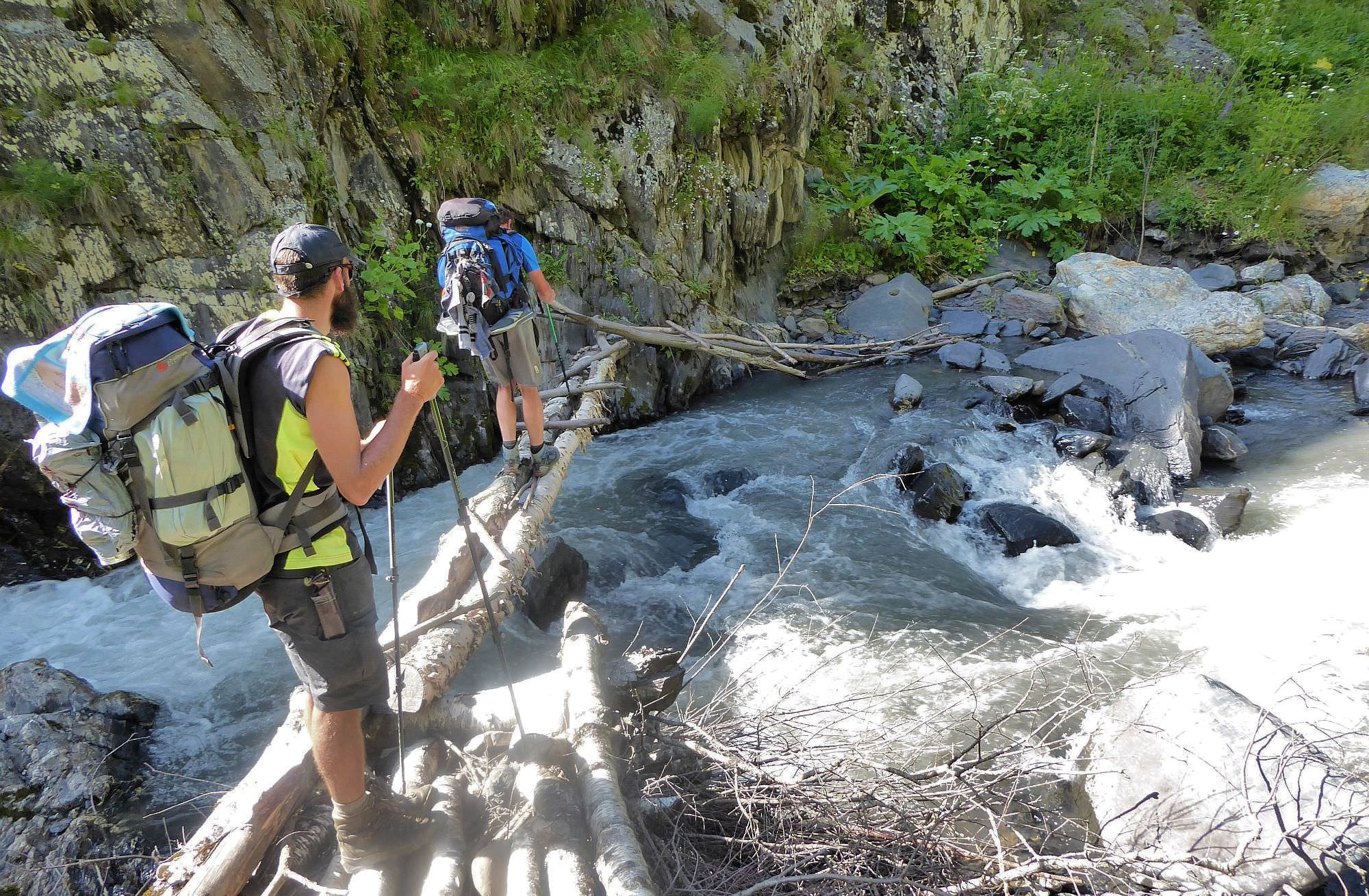
Trek is moderate by distance, but there is also some technical difficulty. In the Chanchakhi gorge, you will have to cross a quite strong river several times, either by foot or on the bridge of a questionable design. It can be a bit dangerous.
I don´t recommend the early summer - river current will be stronger and the hike could be truly dangerous. But the second half of July should be fine (that´s when we did it).
The upper part of the valley is accessible only on foot, see the description of Borbalo trek for more details. You get there either from the west through Chanchakhi pass or descend there from the south from the main ridge.
Mutso is connected with Shatili by a road but it’s not easy to get a car here as most of the jeeps which arrive here are already full. So again, the most reliable will be following the Omalo - Shatili hiking route, it´s up to you in which direction.
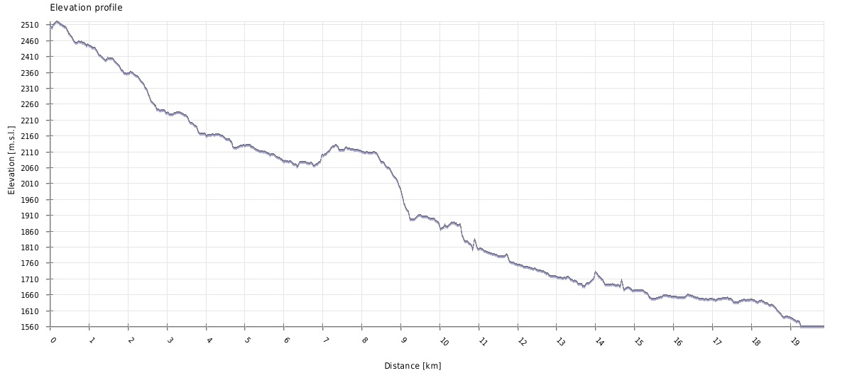
| Distance | 19,9 km |
| Trail type: | AB trip |
| Max. elevation: | 2520m |
| Min. elevation: | 1560m |
| Total climb: | 295m |
| Total descent: | 1206m |
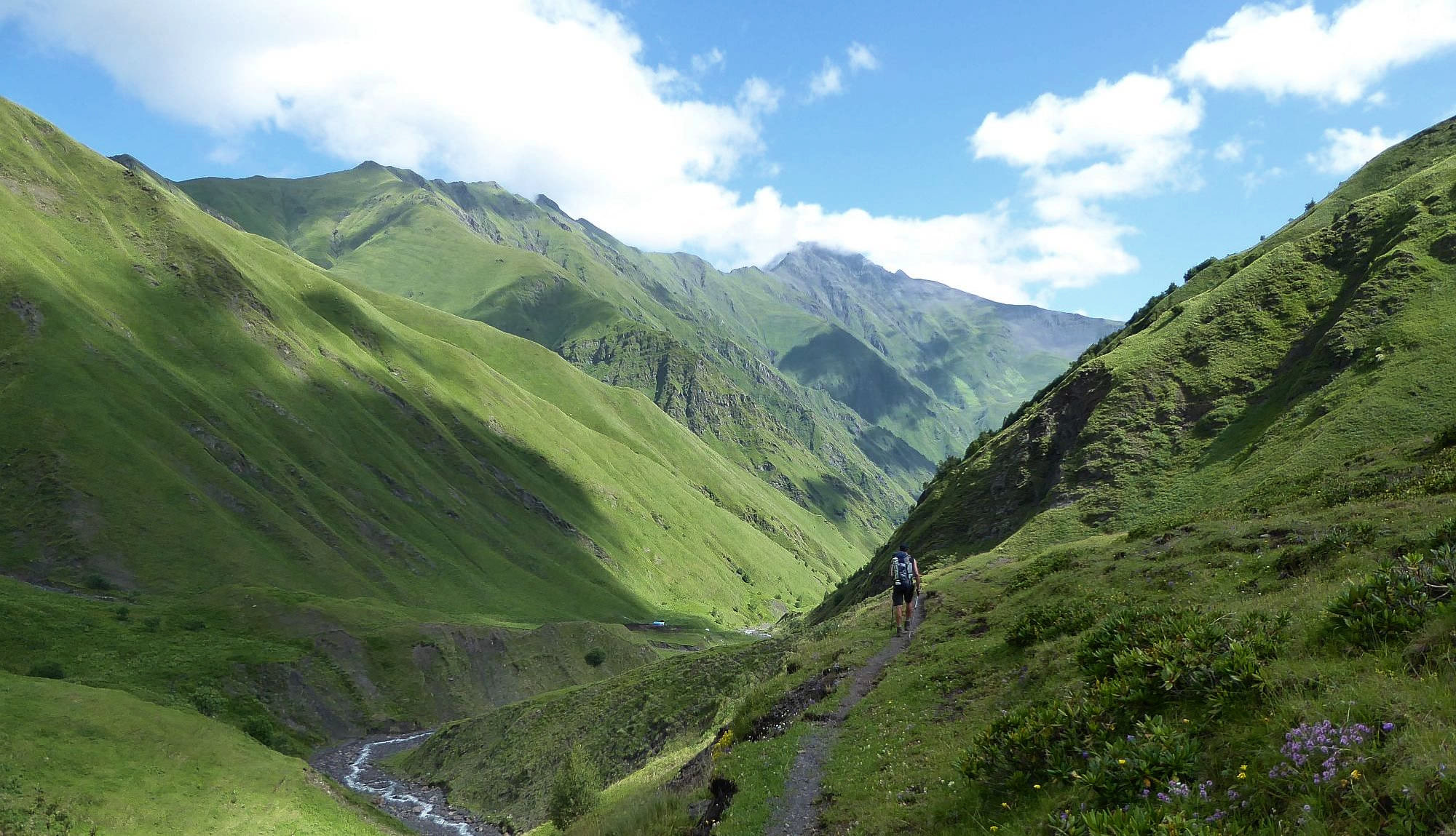
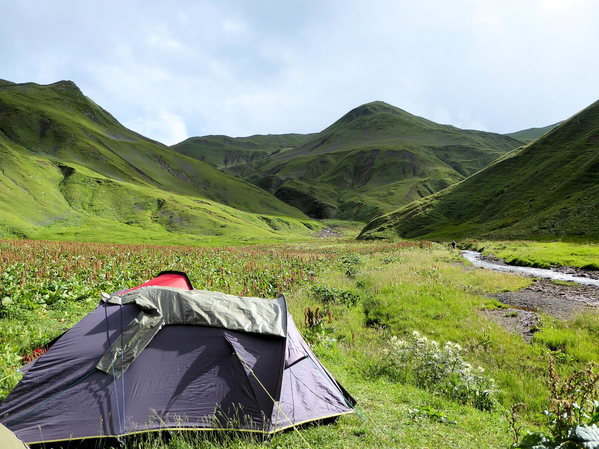
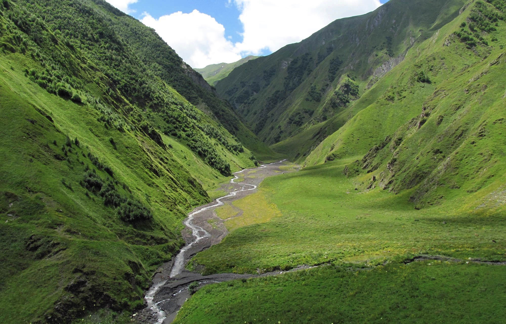
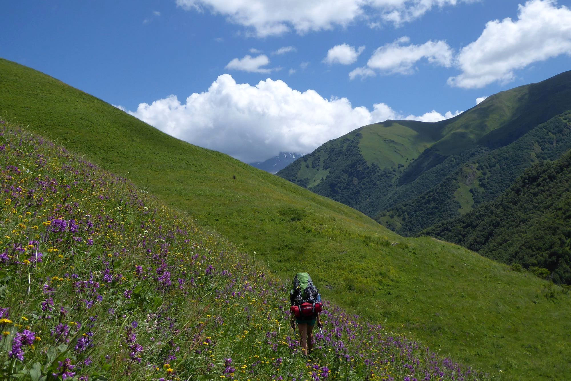
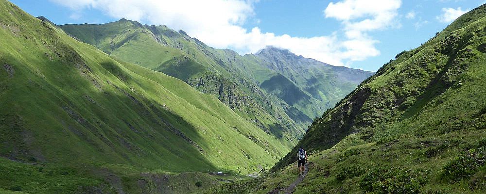
The trail starts in the upper Chanchakhistskali valley, where several smaller streams merge into something that can be called “a river”. The whole trail is marked by yellow/white rectangles (except of the section beyond Ardoti village, which is marked by green/white ones).
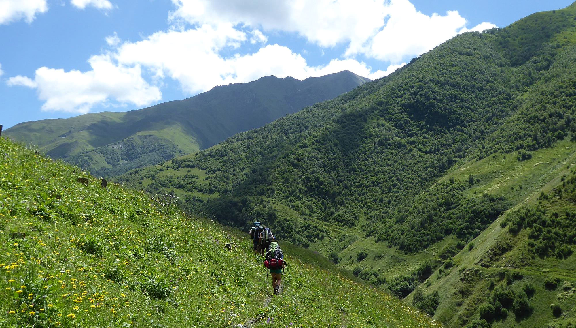
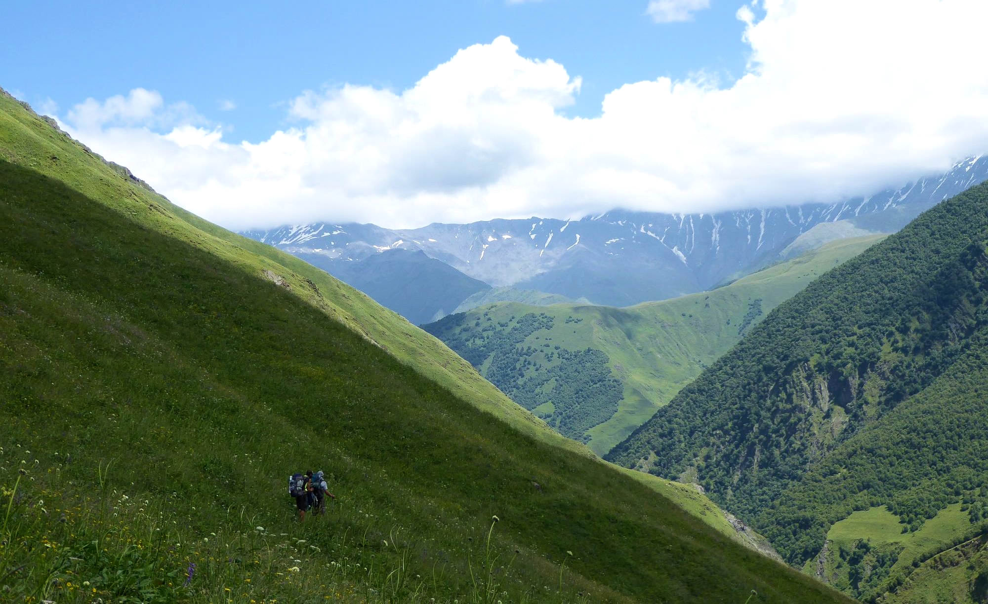
Follow the trail going by the river - it starts on the right bank, but soon crosses to the left and then back again. The river banks soon become too steep, so the trail climbs a bit uphill and for 1,5 km traverses the hillside some 50m above the river. Then it descends down again by a bunch of shepherds huts.
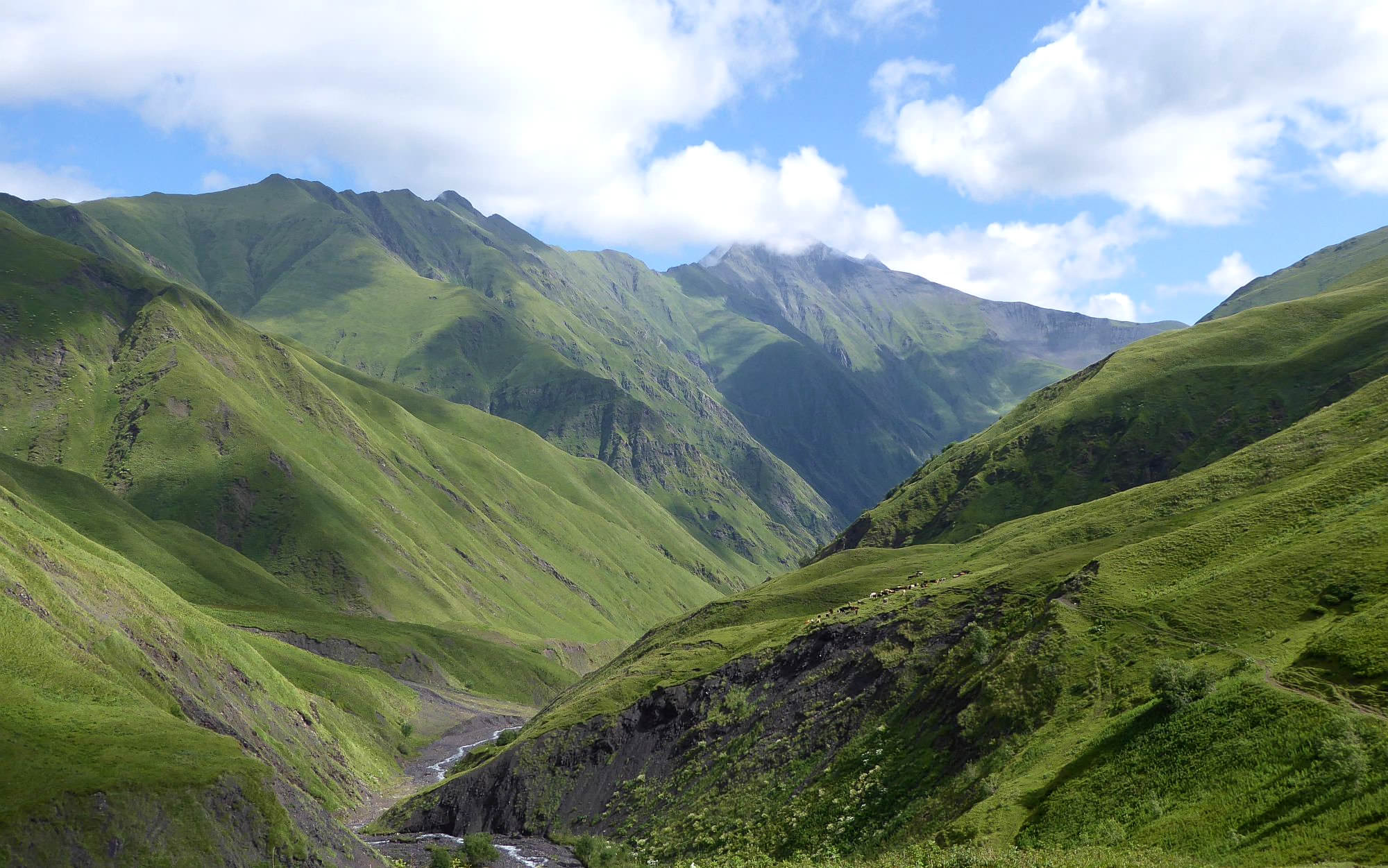
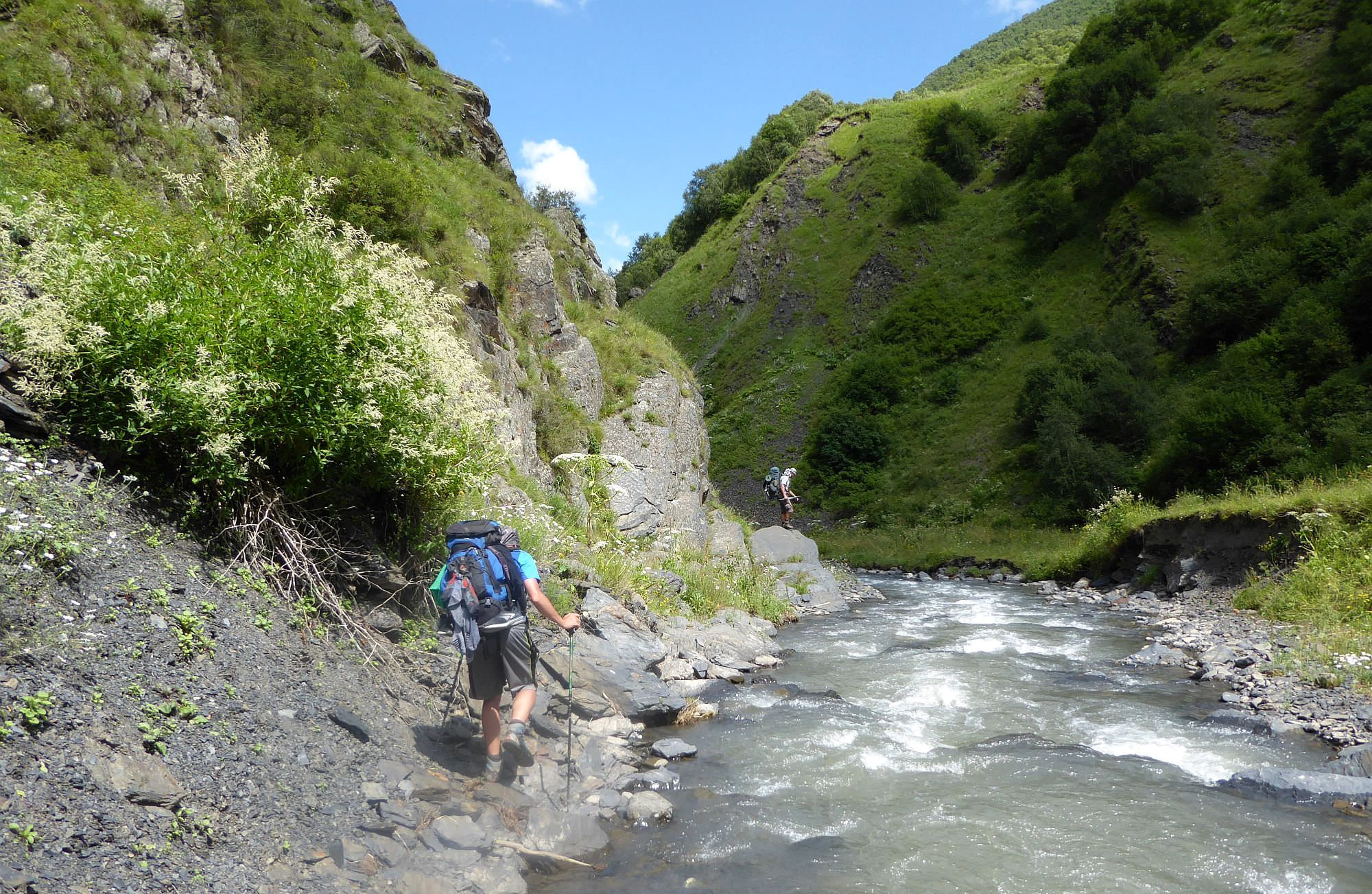
The trail here enters a wide river gorge - during a next few kilometers, you will have to cross the water numerous times. Luckily, the stream is not that wide yet and usually, it´s possible just to jump over. If you have hiking sandals, simply wade through so you don´t have to risk falling on the slippery stones. Also, putting your feet in the water is very pleasant, at least during hot sunny days.
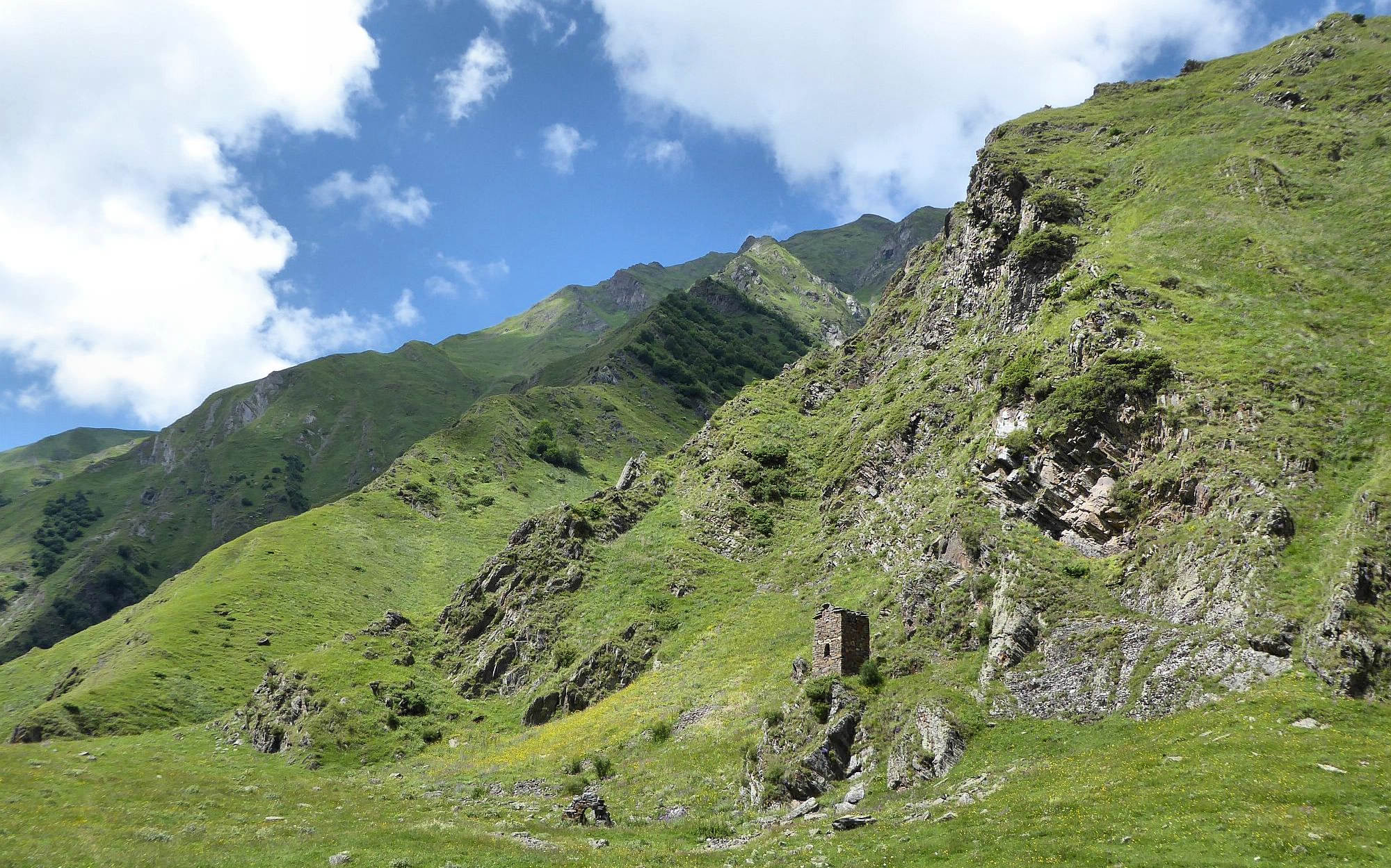
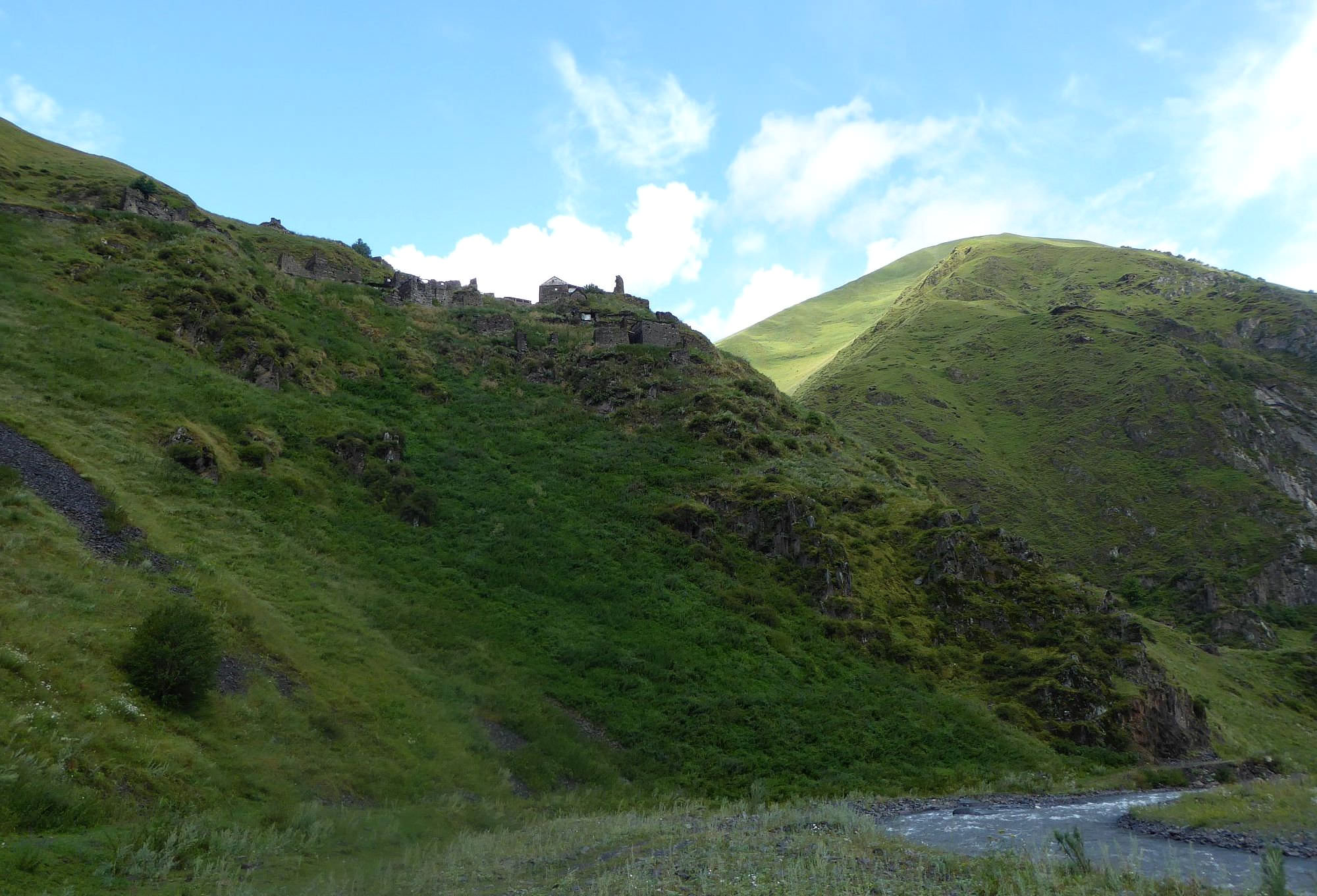
Eventually, the river leaves the gorge and the whole valley sharply bends to the east. In the hillside right in front of you, you can see ruined towers of Khakhabo. Village was once quite populous, but nowadays, only a handful of people is living here. On your left, you can see the well-preserved tower and a small “khati” shrine.
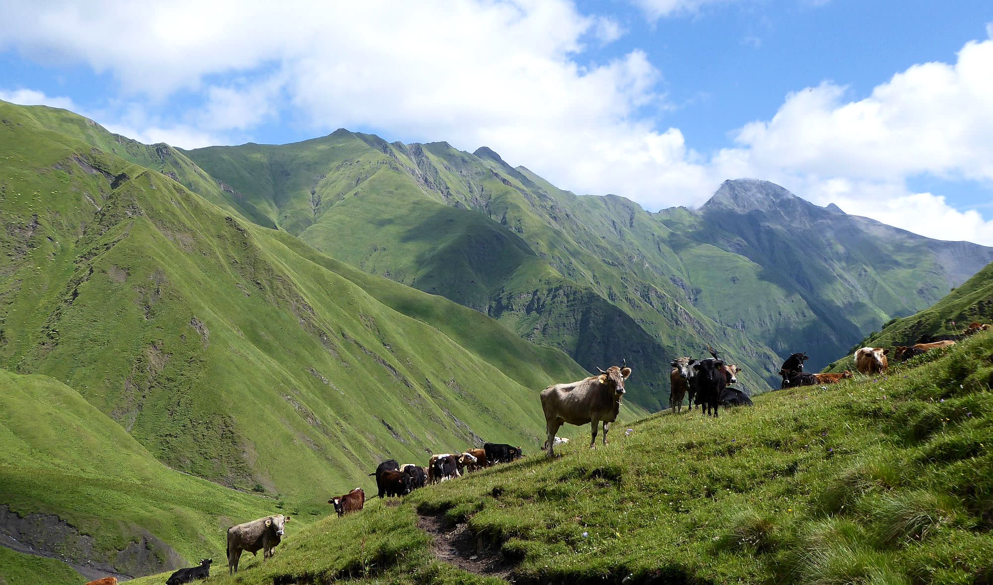
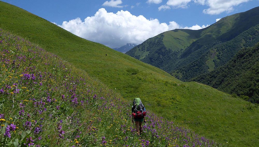
Climb up the hillside, about halfway towards Khakhabo and then turn left and start traversing the slope. Hillside here is crisscrossed by numerous pathways trodden by cows. Pick the one you like the most, they all head in the same direction.
Soon you will see a bunch of shepherd huts at the bottom of the valley - trail here drops to the river again. At the huts, you can scoop fresh water from a hose. There is also a bridge to the right bank, but the lady living there recommended us to keep walking on the left.
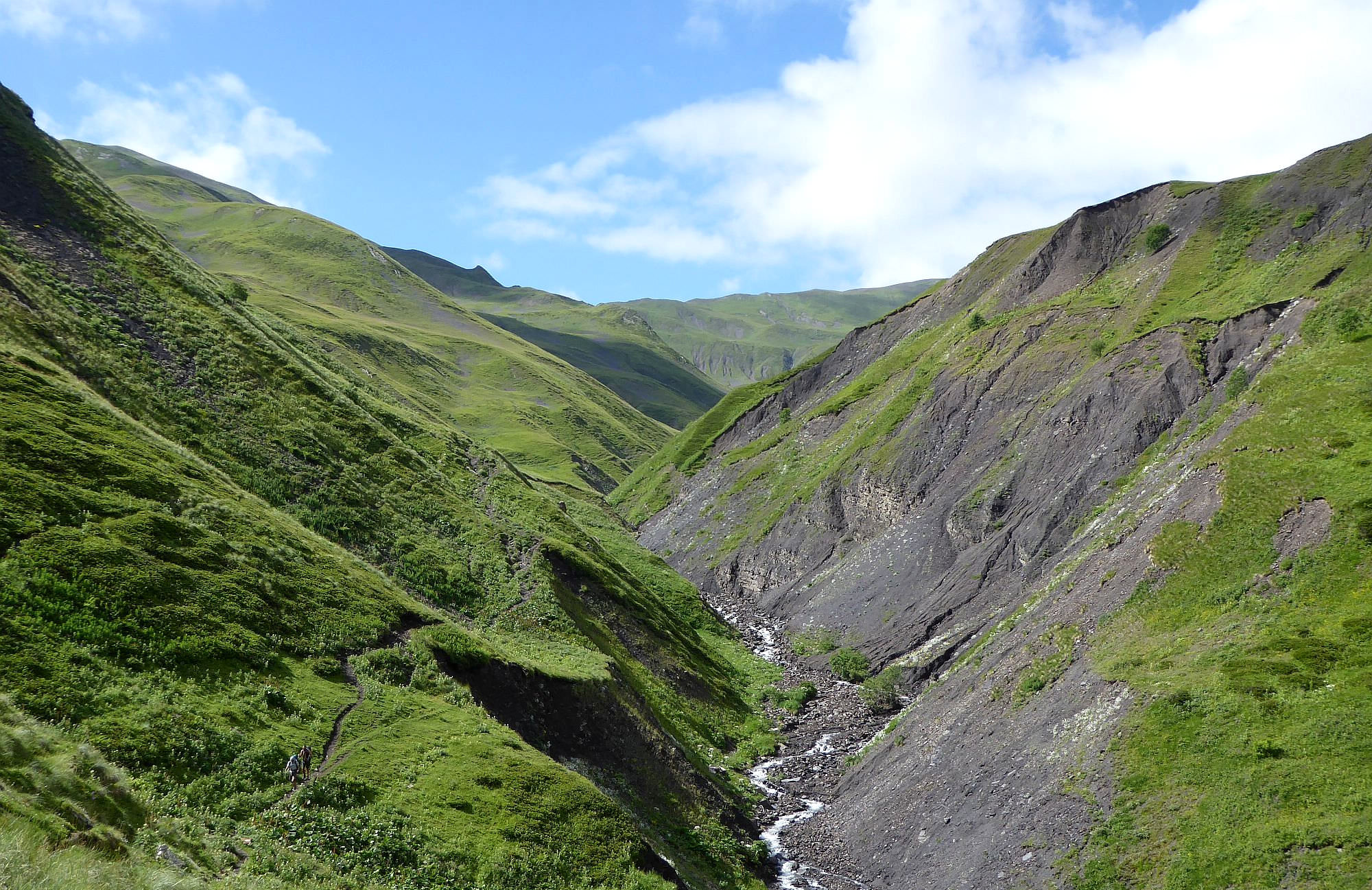
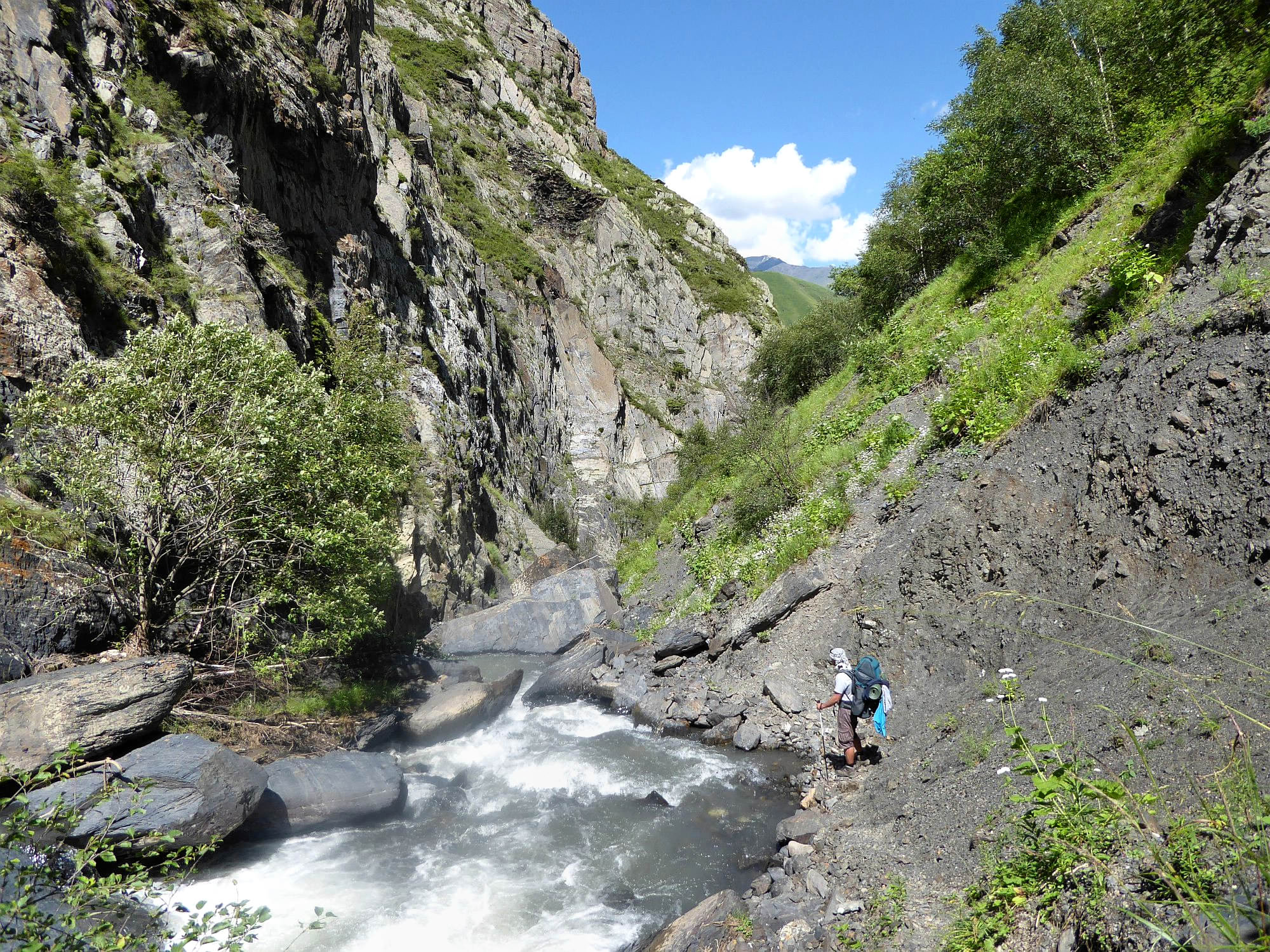
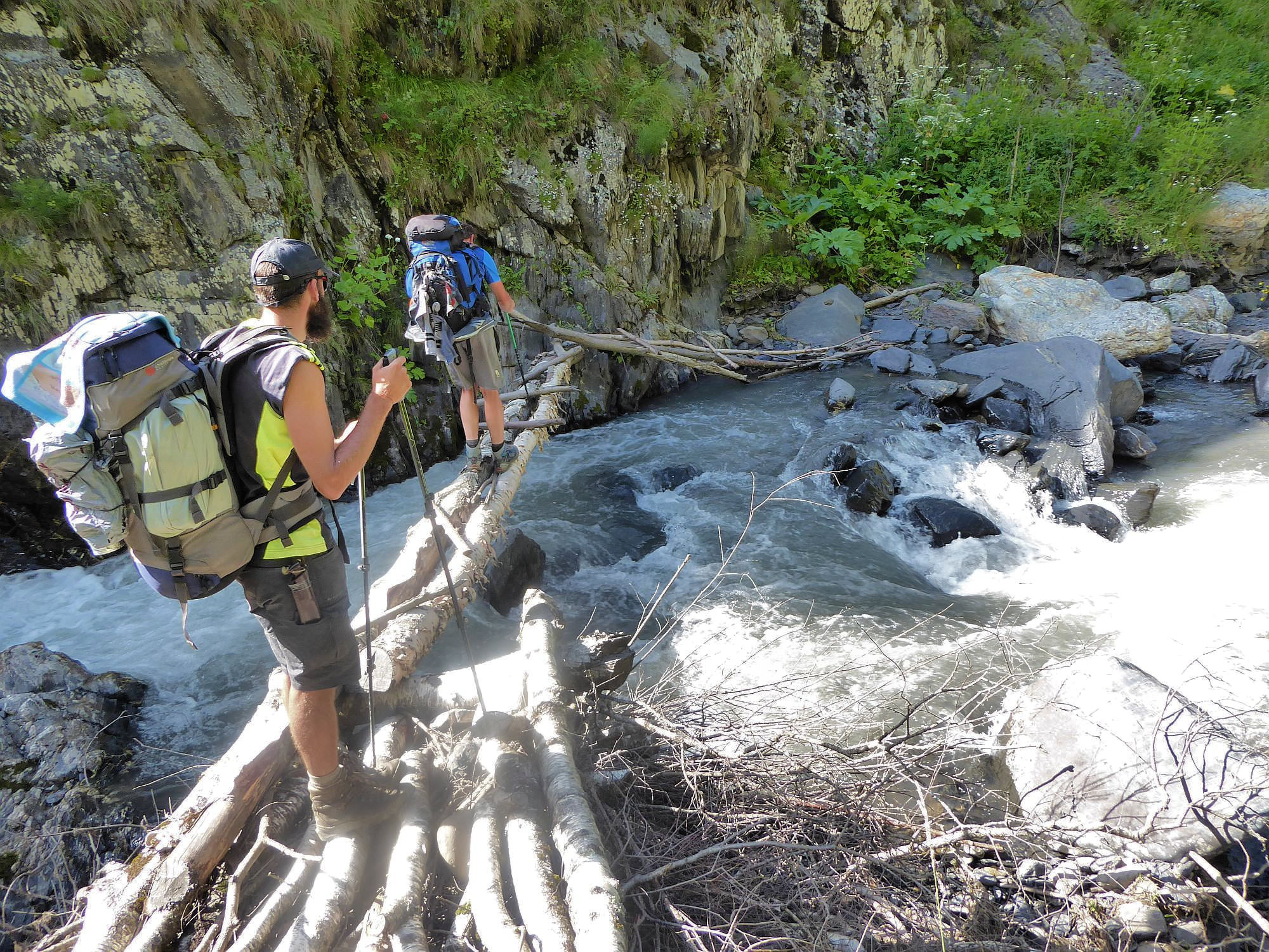
So we stayed to the left of the river. After one kilometer the river enters another, much wilder gorge. Your advance will be soon blocked by a steep rock - trail continues on the right bank, you will have to cross the river there.
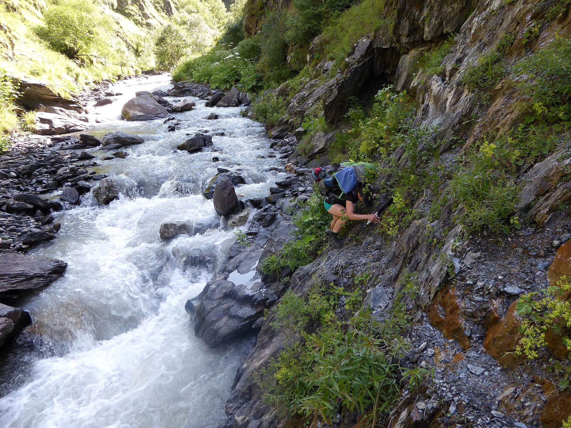
Keep walking. There is a narrow trail navigating steep, slippery slope above the roaring river, so tread carefully. Later, the trail becomes wider and there are even a few places where you can take a dip. Not much later, you will come to the small footbridge which will take you back to the left bank. It´s narrow and shaky, be watch your step.
Then you just keep following the trail. You will come to a small spring and not much further, trail disappears again and you have to return to the right bank. This was from my point of view the most difficult crossing as the water current was pretty strong here.
You won´t stay on the right bank for long - soon, you will have to ford the river again (last time, I promise!). From here, the trail turns into more boring comfortable dirt road. Soon, you will come to the confluence of Chanchakhi and Andakistskali rivers. From here, it takes some 20 minutes to get to the Ardoti village.
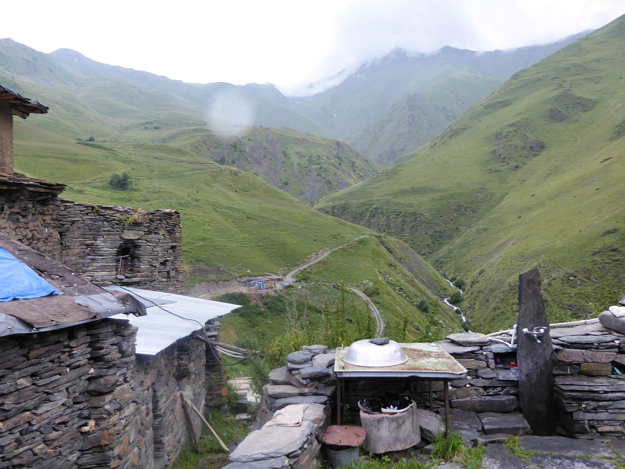
Ardoti is another historical, almost abandoned stone Khevsur village. It lies on the steep elevation above Andaki valley. Only one house at the very top of the village is occupied - we were able to buy some bread and beer there. Also, from its courtyard, there is a great view into the adjacent valley. During the Chechen wars, the MI-8 helicopter belonging to Ichkeria republic crashed here - the locals have since converted it into the livestock barn.
Below Ardoti village, right at the river, is also a great campsite. It's a good place to spend a night - section to Mutso can be done in one hour and is better to be left for the another day.
Walk from Ardoti to Mutso is not too remarkable - you walk on the dirt road with limited views. Still, there was one thing that caught our attention - this stone pillars with another stone placed on the top. I guess they originated naturally, but I am not sure how.
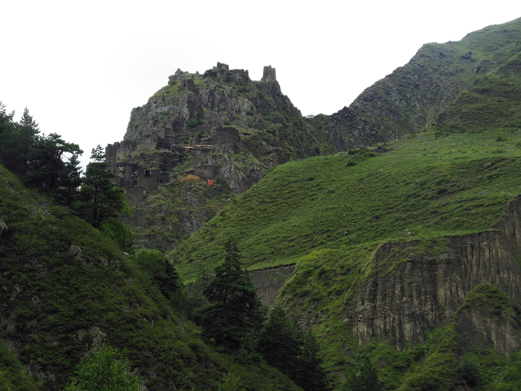
Your road will join the main Tusheti-Khevsureti trail at the border guards outpost below Mutso. They may delay you a bit, they are used to hikers coming from Atsunta pass and only a few hikers come from Ardoti direction. But eventually, they will let you go - from there, Mutso is less than 200 meters to the north.