One of the most spectacular day hikes in Tusheti.
Hike from Ghele meadow to Parsma is one of the most spectacular day hikes in Tusheti.
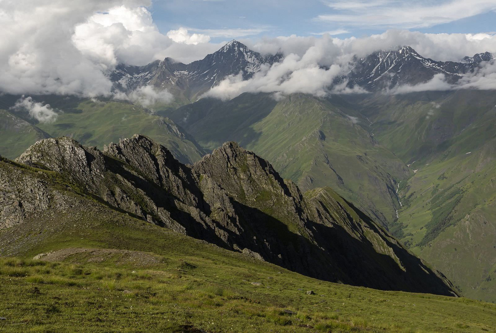
It navigates Pirikita range, which separates valleys of Pirikiti and Gometsari Alazani, the largest valleys of the region.
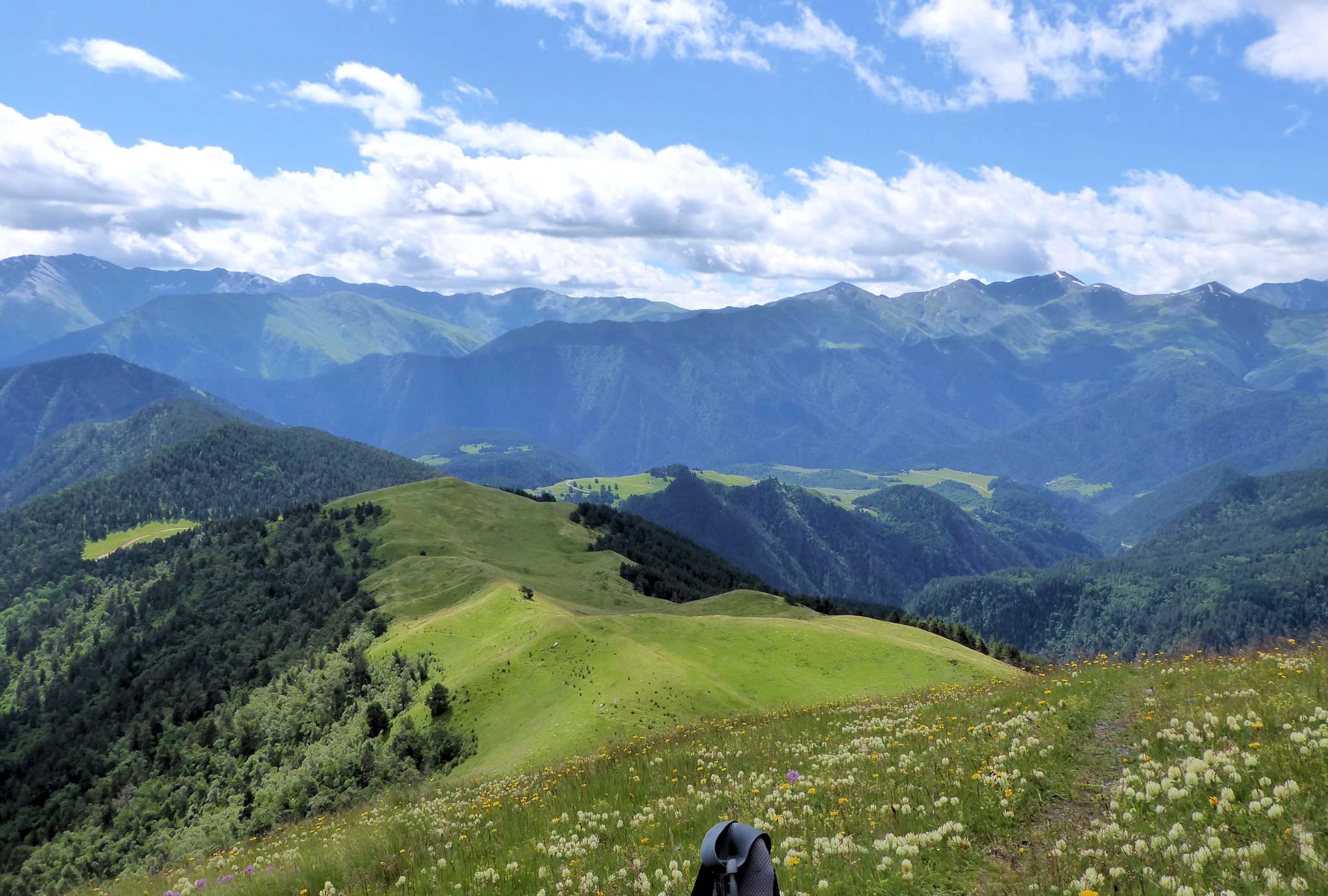
For the larger part of the day, you will be walking on the ridge at the elevation of almost 3000m and have marvelous, almost aerial views of the both valleys and mountains around.
It is also a very viable alternative to the first section of the classic Omalo - Shatili trail if you prefer views of mountains to stone villages.
It´s a pretty long hike, but the terrain is not that difficult - after the initial climb, the terrain is more or less flat until you reach the gruelling descent at the end of the day.
Ghele is the meadow about 8km behind Omalo, at the place where the car road to Dartlo reaches its highest point
and starts descending into Pirikiti Alazani valley (not all drivers will know it by name). It´s possible to get here on foot
(the route follows standard Omalo - Shatili trail and the distance is about 5 km if you take the shortcut through the forest),
but often, it´s more convenient to hire a driver. Drive from Omalo to Ghele costs 50-70 GEL.
Looking for a place to stay in Omalo before the hike?
Here are some of the better guesthouses.
If you need to get back to Omalo, you can hire a jeep or you can walk - the return path is described as “Day 1” in
Exploring the valleys of Tusheti trail description.
This way, you make a fast, 2-day loop which contains "the best of Tusheti" - both mountains and medieval villages.
The even more interesting option is to carry on to Khevsureti and therefore finish Omalo to Shatili trek in 4 days.
This way, you will miss beautiful Dartlo village, but have great views from the Pirikita range instead - very tempting option, especially when the weather is good.
Hike starts on the Meziri church of the Archangel
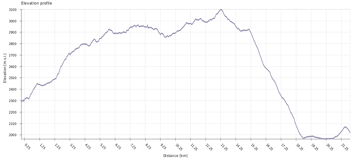
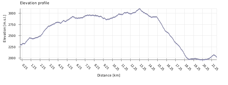
| Distance | 21,8 km |
| Trail type: | AB trip |
| Max. elevation: | 3103m |
| Min. elevation: | 1965m |
| Total climb: | 1272m |
| Total descent: | 1446m |
Hike starts on the Ghele meadow - since it lies at the border of all three main valleys of Tusheti, in the past, it was the place where the elders of local communities met and discussed local issues. It is the spot where the road to Dartlo reaches its highest point before going down into Pirikita Alazani valley.
If you are coming from Omalo, turn left from the main road, onto the smaller dirt road going uphill. Climb onto the small elevation, where the road disappears.
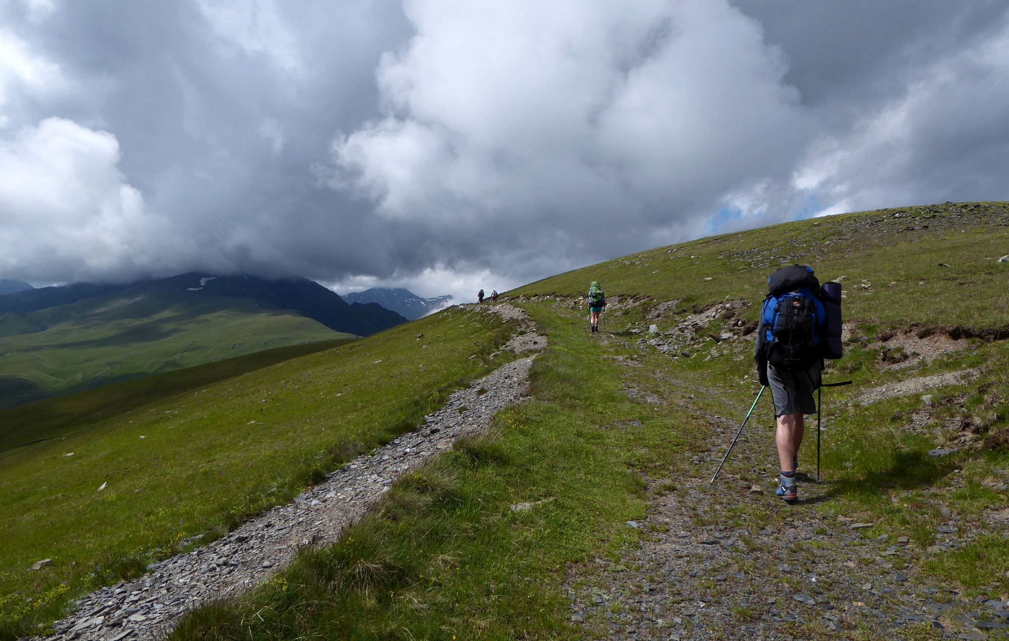
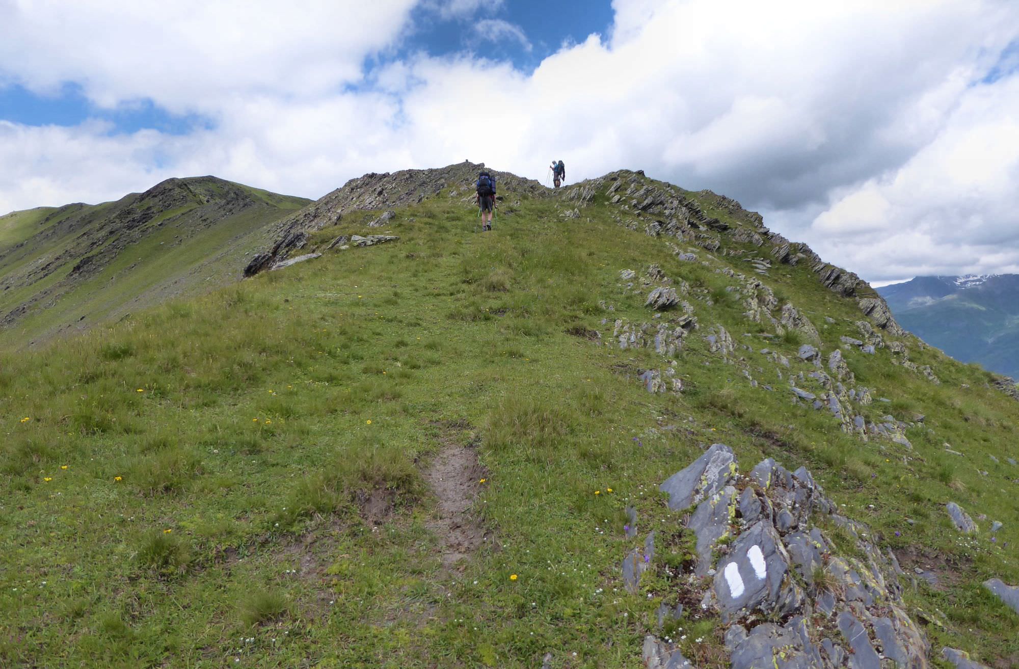
As you can see now, main ridge here bends to the north. So does the trail, so prepare for a short, but steep climb.
Luckily, the footpath is still visible. As a bonus, this section of the trail is marked by “2 white stripes” marking (colored stripe in the middle will be added once they agree upon its color).
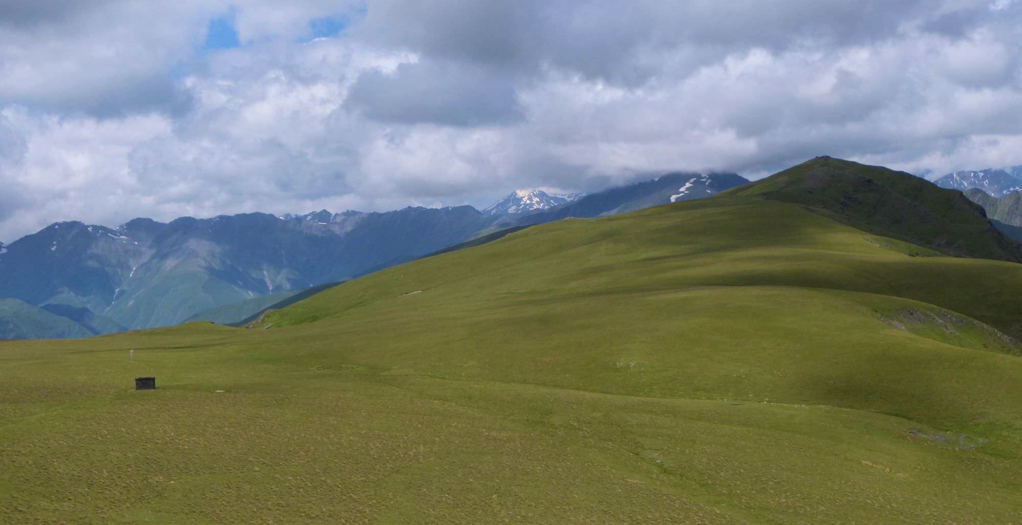
After climbing some 200 elevation meters, you should make it to the top of the ridge. Walk here becomes much more pleasant. It alternately leads on both sides of the ridge, close to the top and provides splendid views of both river valleys. Finally, it circumvents the Sakkhevi mountain from the right side and emerges onto a small, rocky viewpoint.
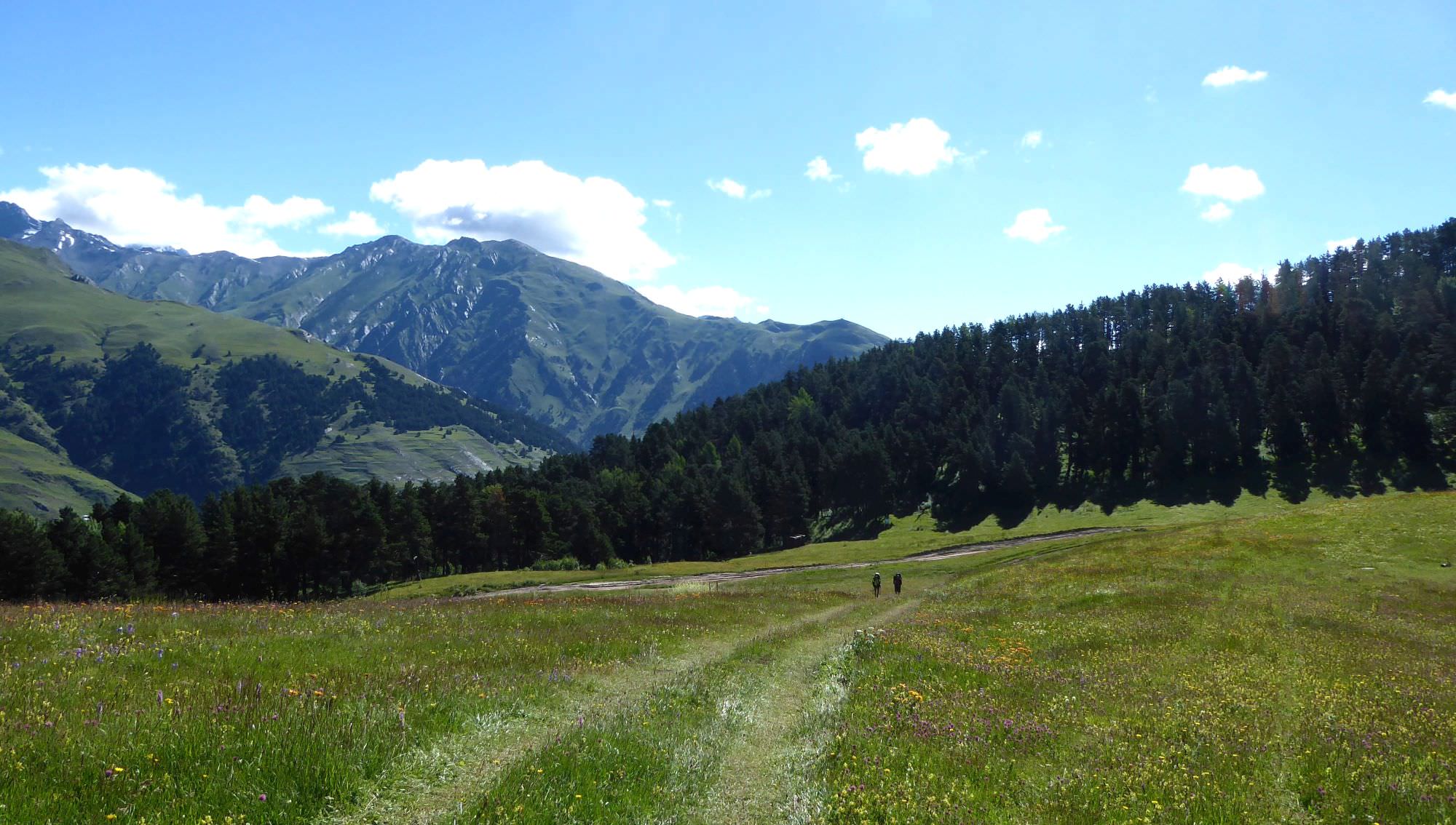
Here, the character of the terrain changes drastically - the rocky mountain range is replaced by wide flat meadows, used for grazing. That also means that the trail disappears again (as well as the marked trail, which turns left to Dochu village), but Pitsilanta hill, your next destination, is right ahead of you. Walk towards it through the meadows, past the ruined shelter (what's the point of building it and then filling it with garbage?). You don´t even need to climb it, remains of the old road can be found to the left of the actual hill.

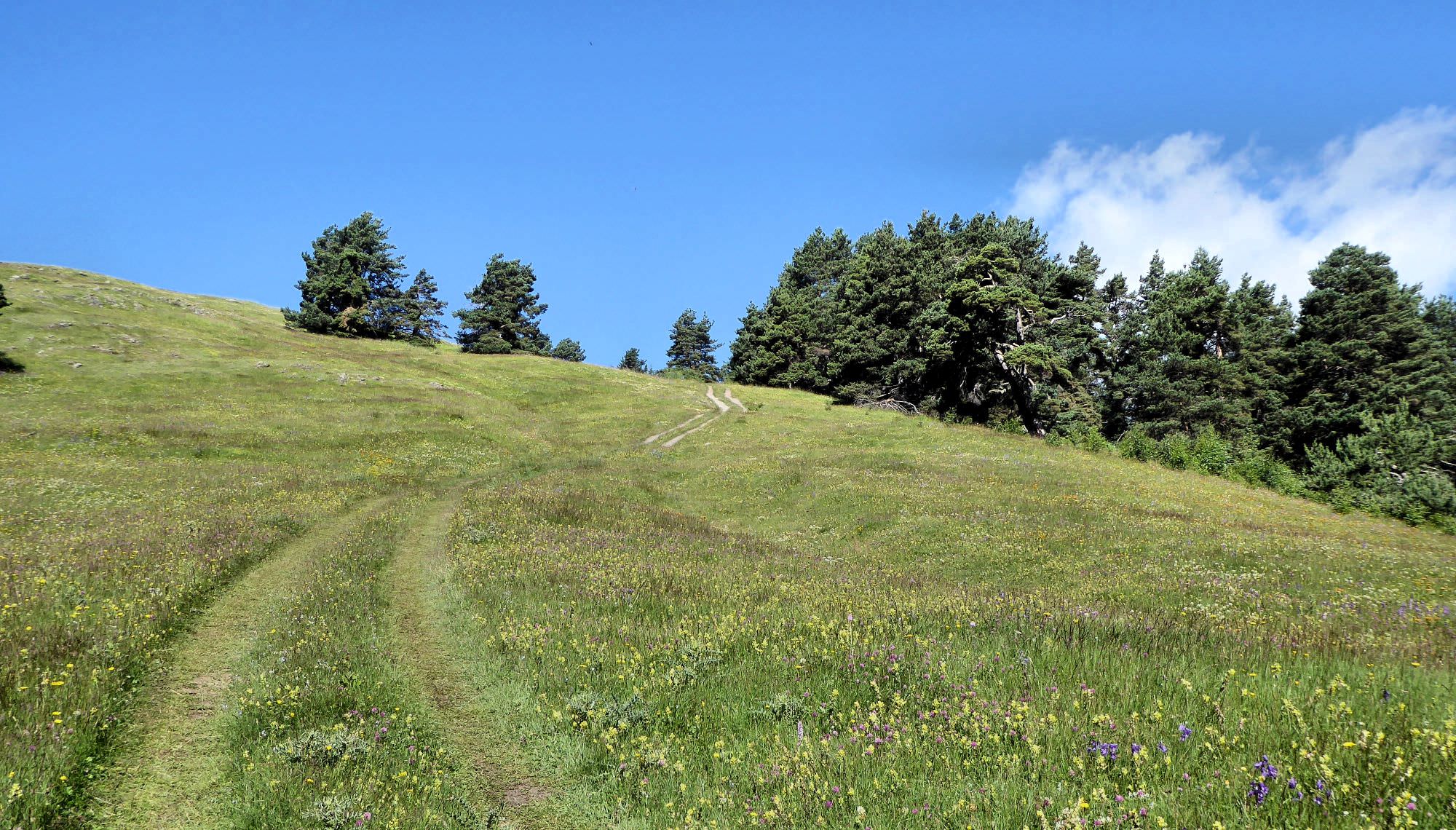
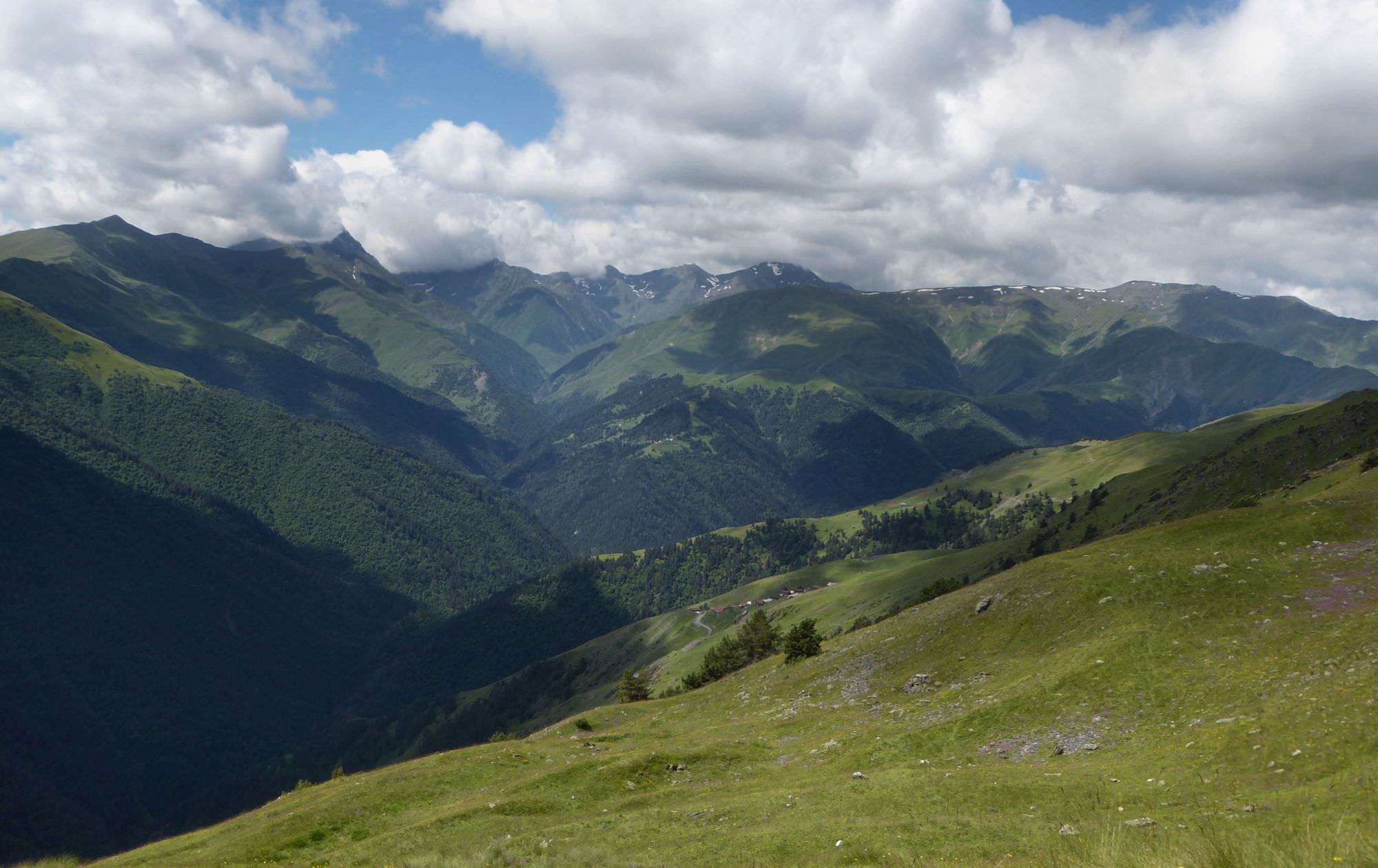
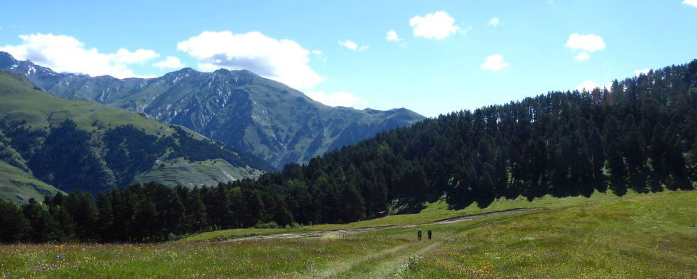
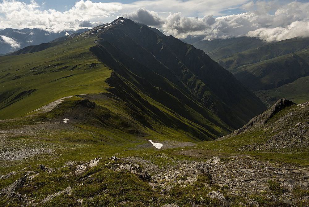
Flat section of the ridge before Mt. Pitsilanta
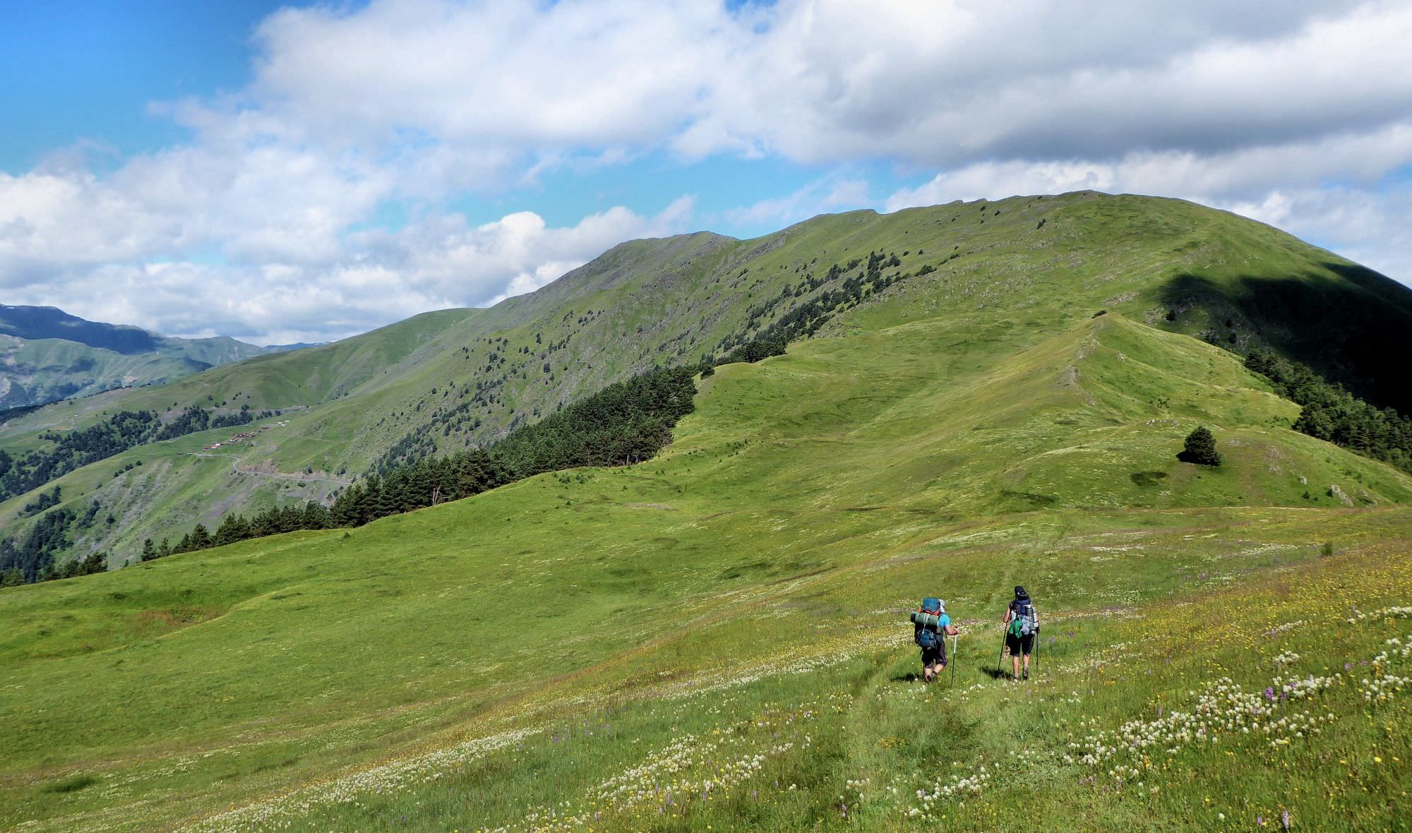
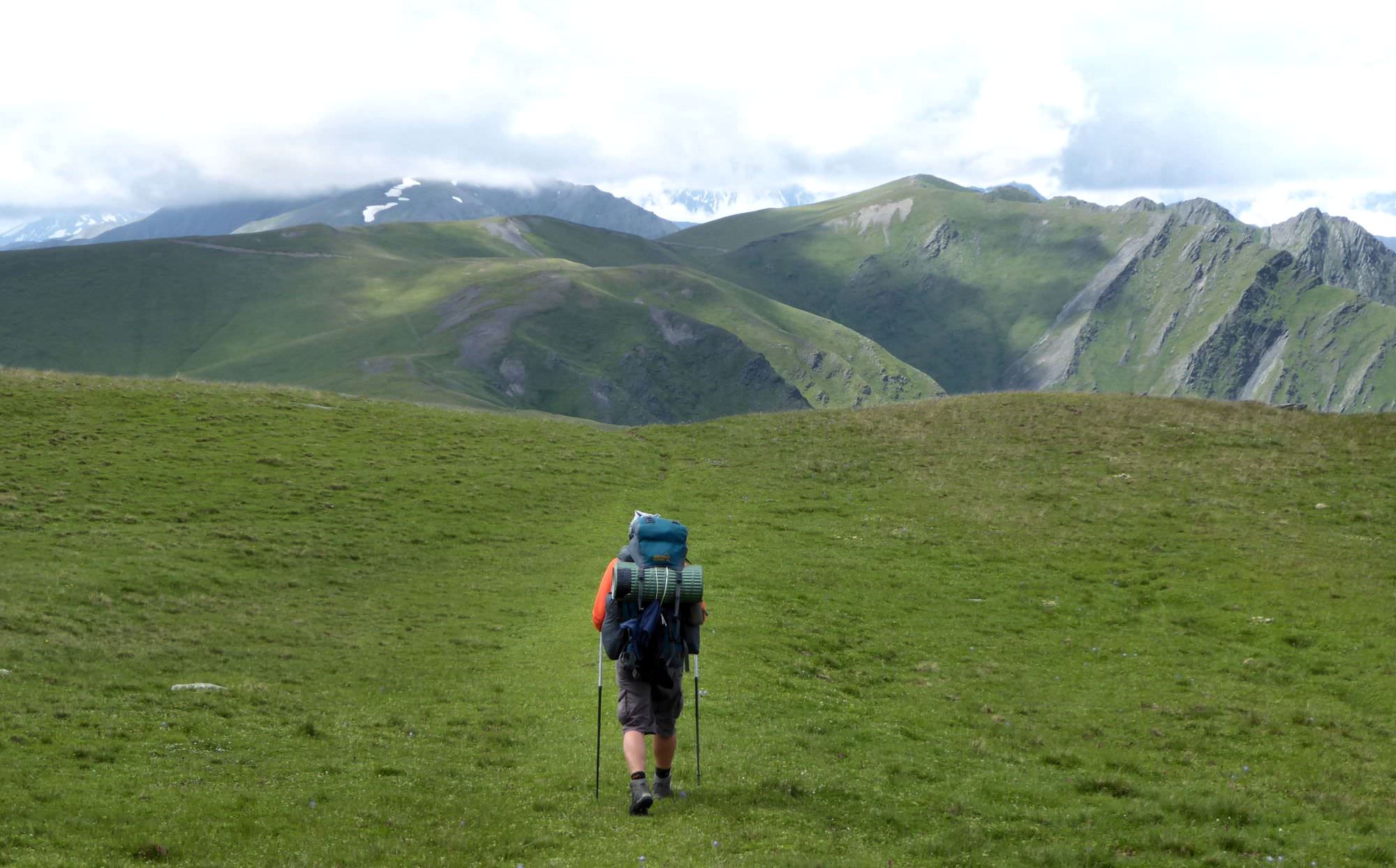
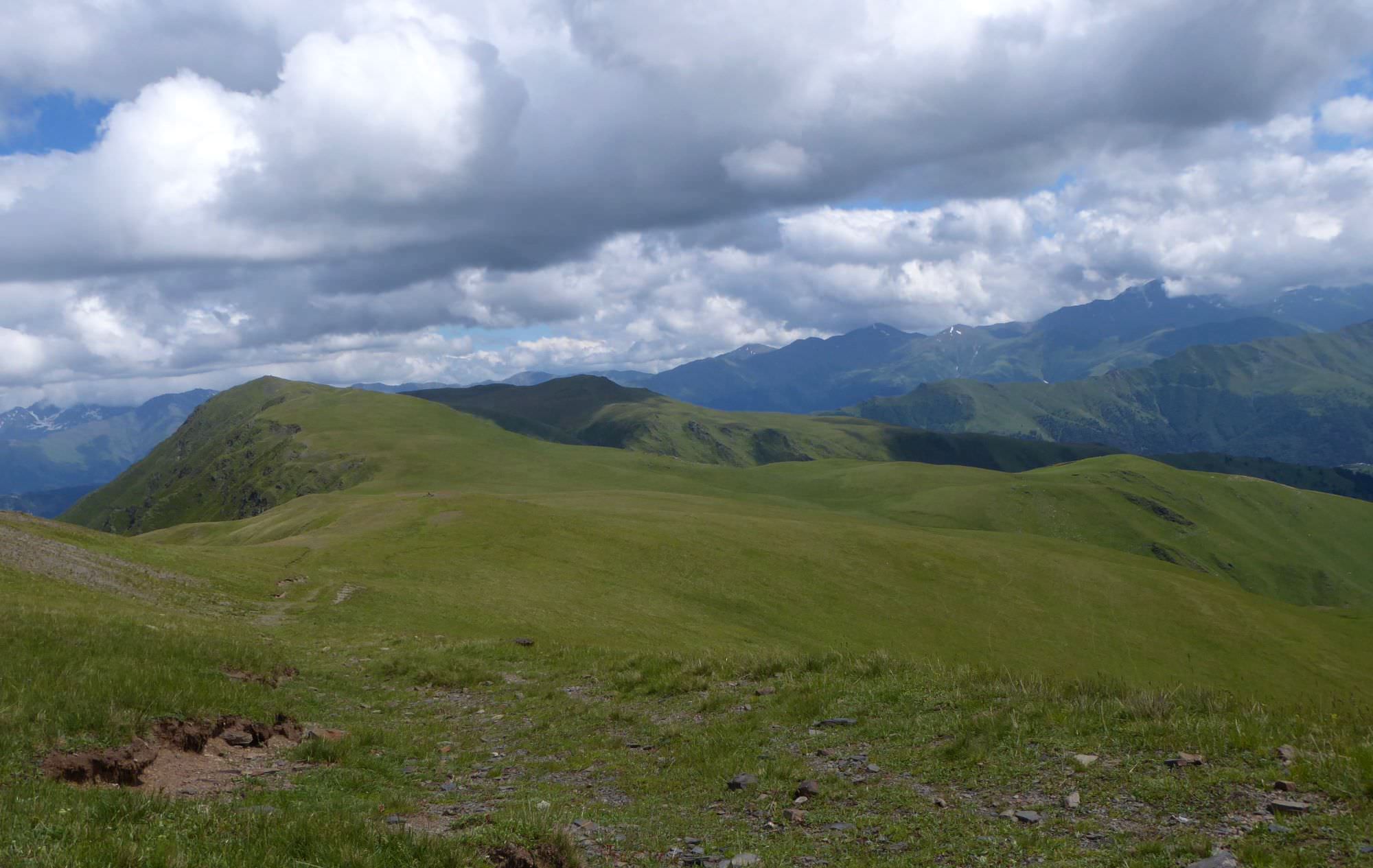
Behind Pitsilanta, the trail is pretty straightforward - just keep walking northwest on the top of the ridge. The trail goes up and down all the time, but nothing extraordinary. Soon, it turns a bit to the right, then to the left and suddenly, the Nakle-Kholi pass shows up ahead (and below). If you have time, I recommend climbing nearby Makratela hill (3100m) for even better views. Then head to the pass, path at this section is well-trodden again.
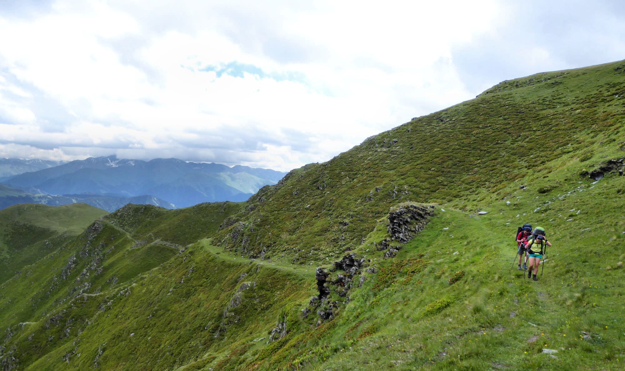
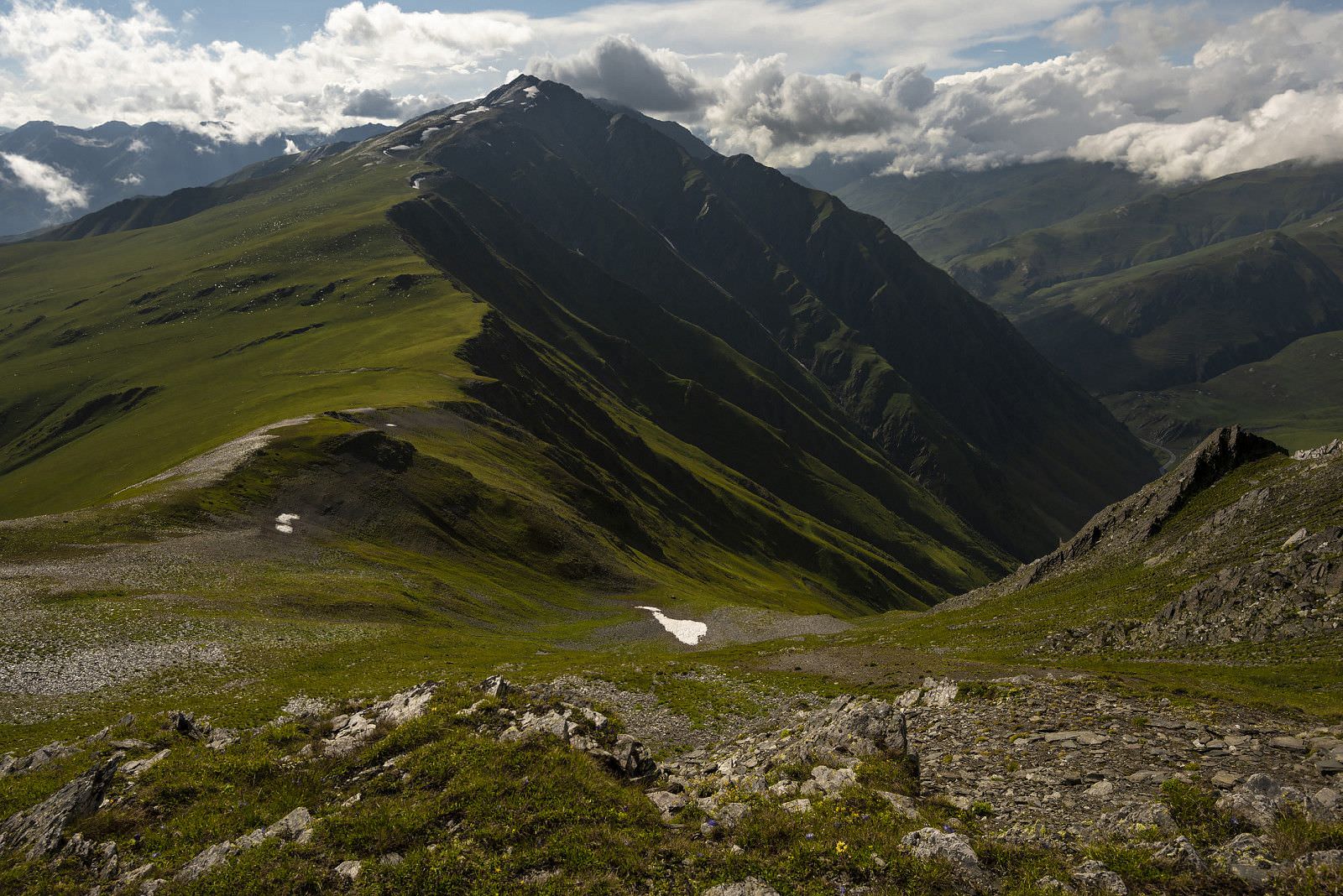
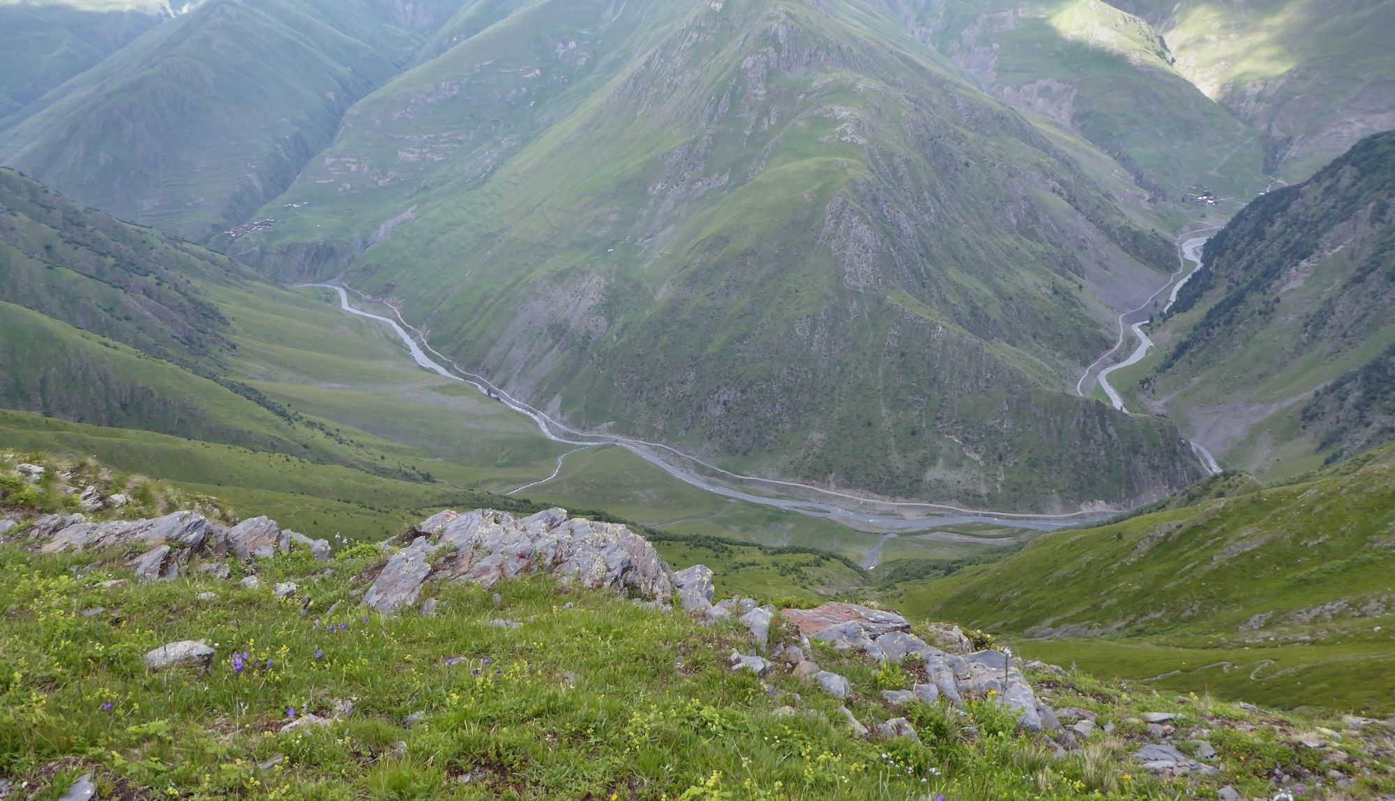
Nakle-Kholi pass (2918m) is broad and wide. From here, you can descend either to Verkhovani or to Parsma village, which you can already see in the valley below. Descent route is easy to find, it starts at the eastern side of the pass. Or just come to the pointer showing a path to Verkhovani and start walking in the opposite direction. Or look down the cliff and you will see the path winding below.
Follow the zig-zagging trail into the valley of Pirikiti Alazani. The way down is pretty hard on knees, as you will lose 500 meters on a very short section. Once you make to the river, start walking upstream and after some 20 minutes, you should come to the small bridge - it used to be in a very bad condition, but was rebuilt in October 2020. So don´t be confused if some reports state that crossing is dangerous, it´s not, at least for now :)
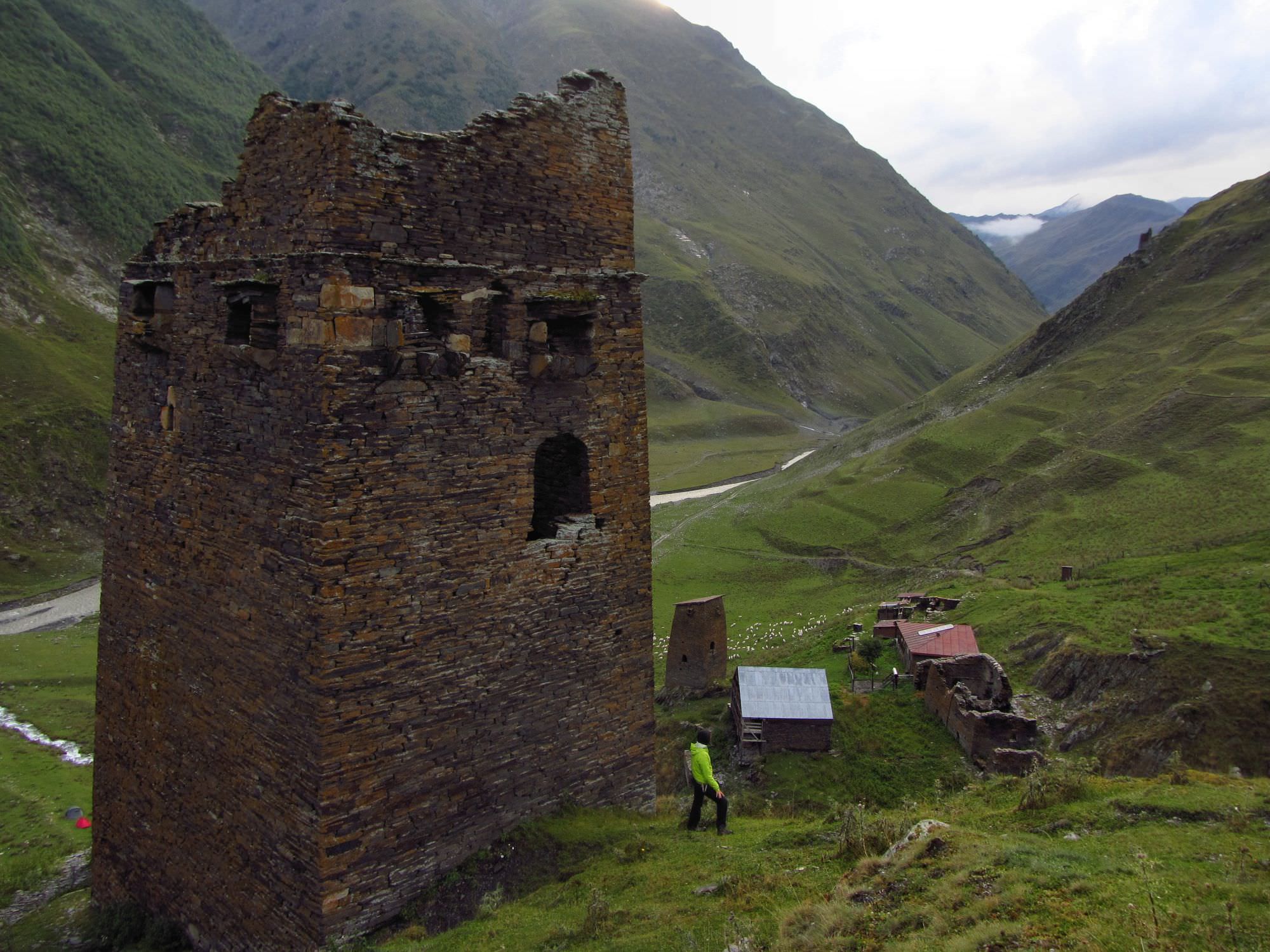
From here, it's just a short walk to Parsma village. If you did this as a daytrip from Omalo, this is where your pre-arranged driver would be waiting for you. If you have no ride, you can either camp by the river or spend a night at Guesthouse Baso situated nearby.
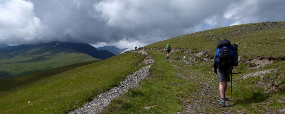
Approaching Nakle-Kholi pass